[Index]
Observing precipitation falling from clouds
[Back to introduction of simple techniques]
| Observation Techniques
[Index] |
Observing precipitation falling from clouds [Back to introduction of simple techniques] |
|
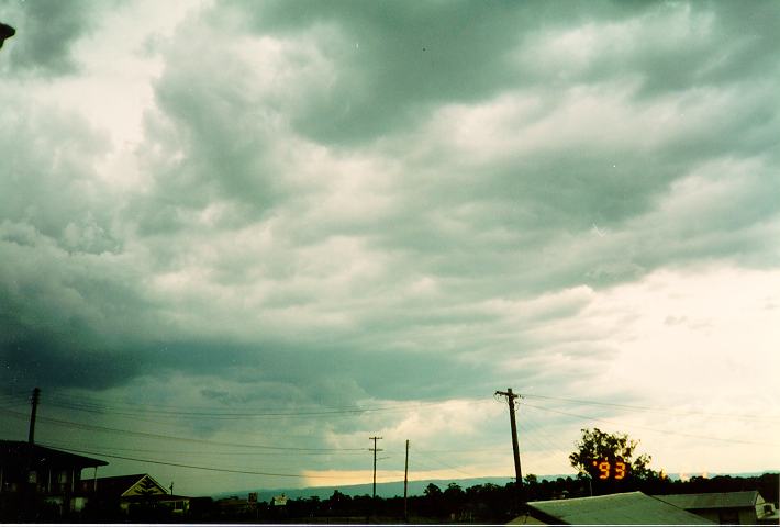
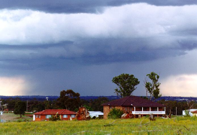
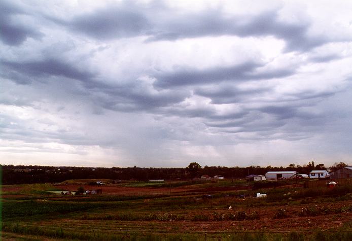
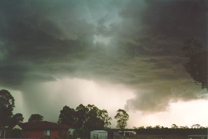
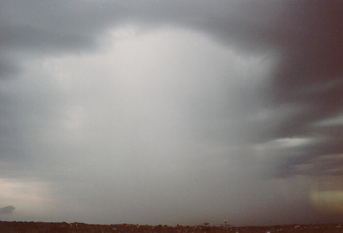
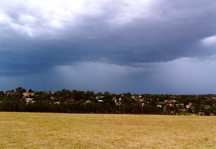
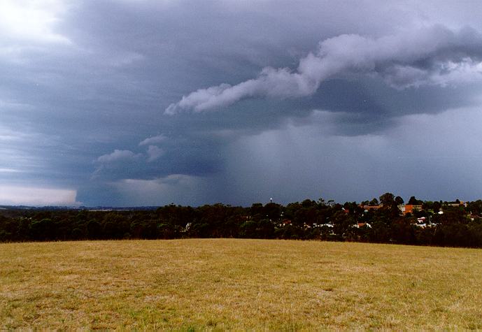
The motion of the rain cascade will obviously be the same as the cloud producing it. However, do not get confused when several clouds are present. Usually, only one of the cloud types are responsible for the rain. This situation will be discussed later with the more advanced observational techniques. Depending on the conditions within the cloud, the intensity and duration of the rainfall varies. The heavier rainfall consists of larger droplets. This means that the cascade of rainfall allows less light to pass through making it look a darker shade of grey as compared to light rain or drizzle.
Another important point to consider is the depth of this cascade. Does it extend to a thickness of many kilometres or is it just a thin band? Let us assume that an approaching rain band consists of uniform rainfall (equal rate of rainfall). Rain bands do not necessarily approach perpendicular to your line of sight. Quite often they approach at an angle, with nearby areas receiving the first rain. Therefore, it is essential to observe the parent cloud producing the rain to determine if the rain is approaching you and which part.
With practice in the techniques discussed in this section, you will be able to predict the intensity and extent of the approaching rainfall.
|
|
Document: cloudrn.htm
Updated: 20th March 2008 |
[Australian Severe Weather index] [Copyright Notice] [Email Contacts] [Search This Site] |