and Chasing
[Index][Archives]
Severe Pulse Storm near Tenterfield: Friday 24th November 2006
by Michael Bath
| Storm News and Chasing [Index][Archives] |
Severe Pulse Storm near Tenterfield: Friday 24th November 2006 by Michael Bath |
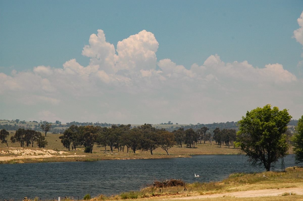
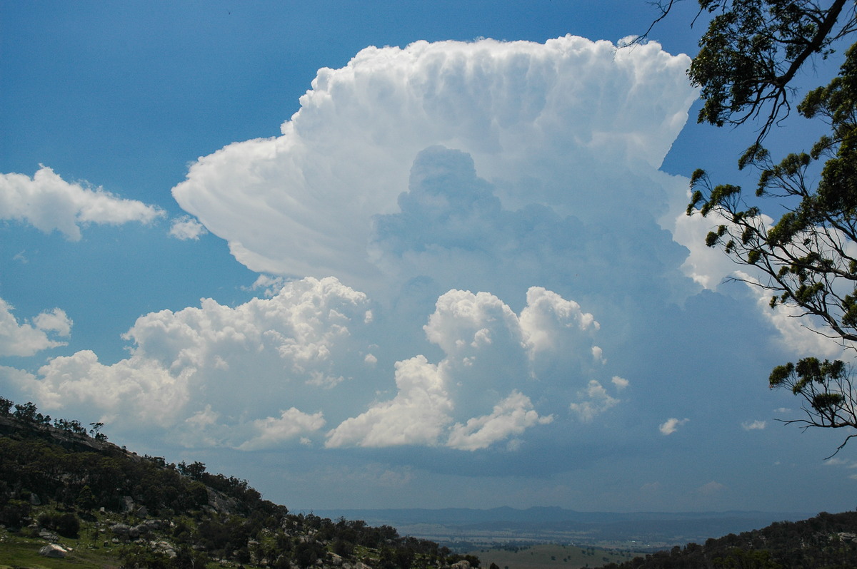
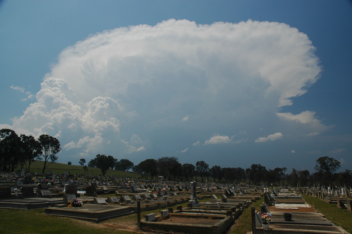
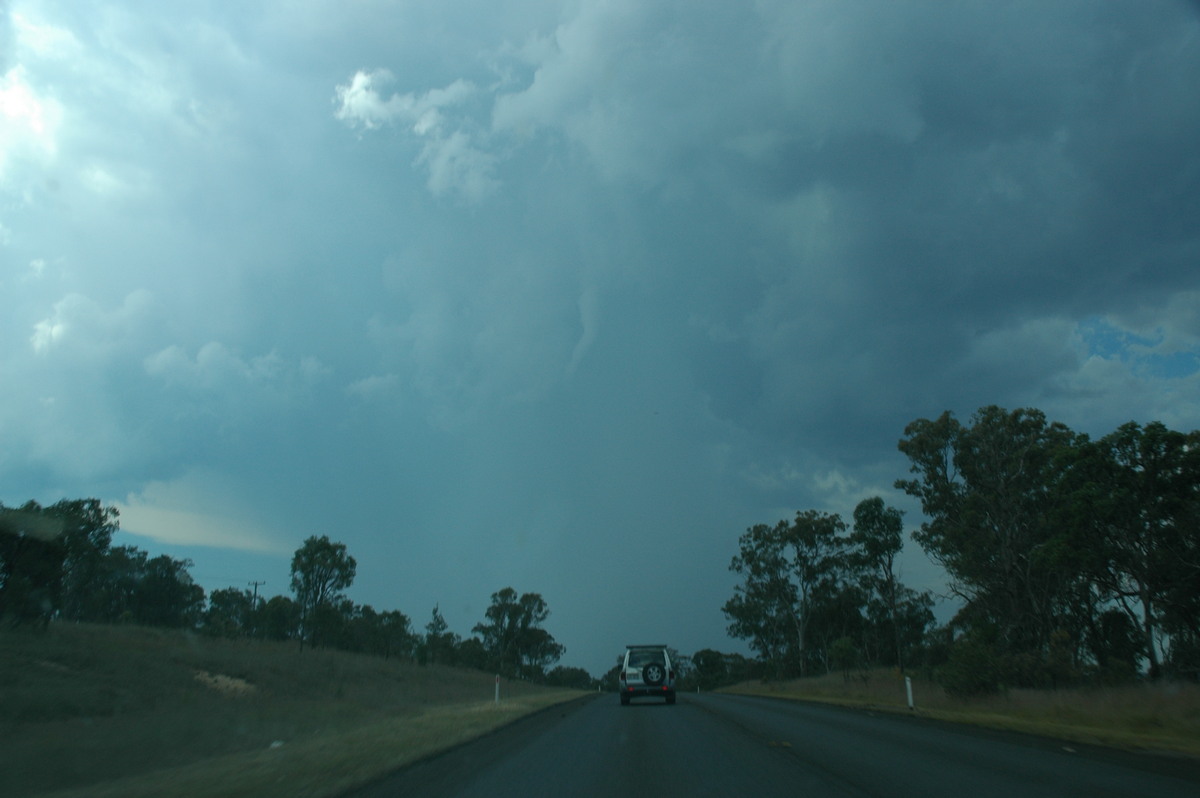
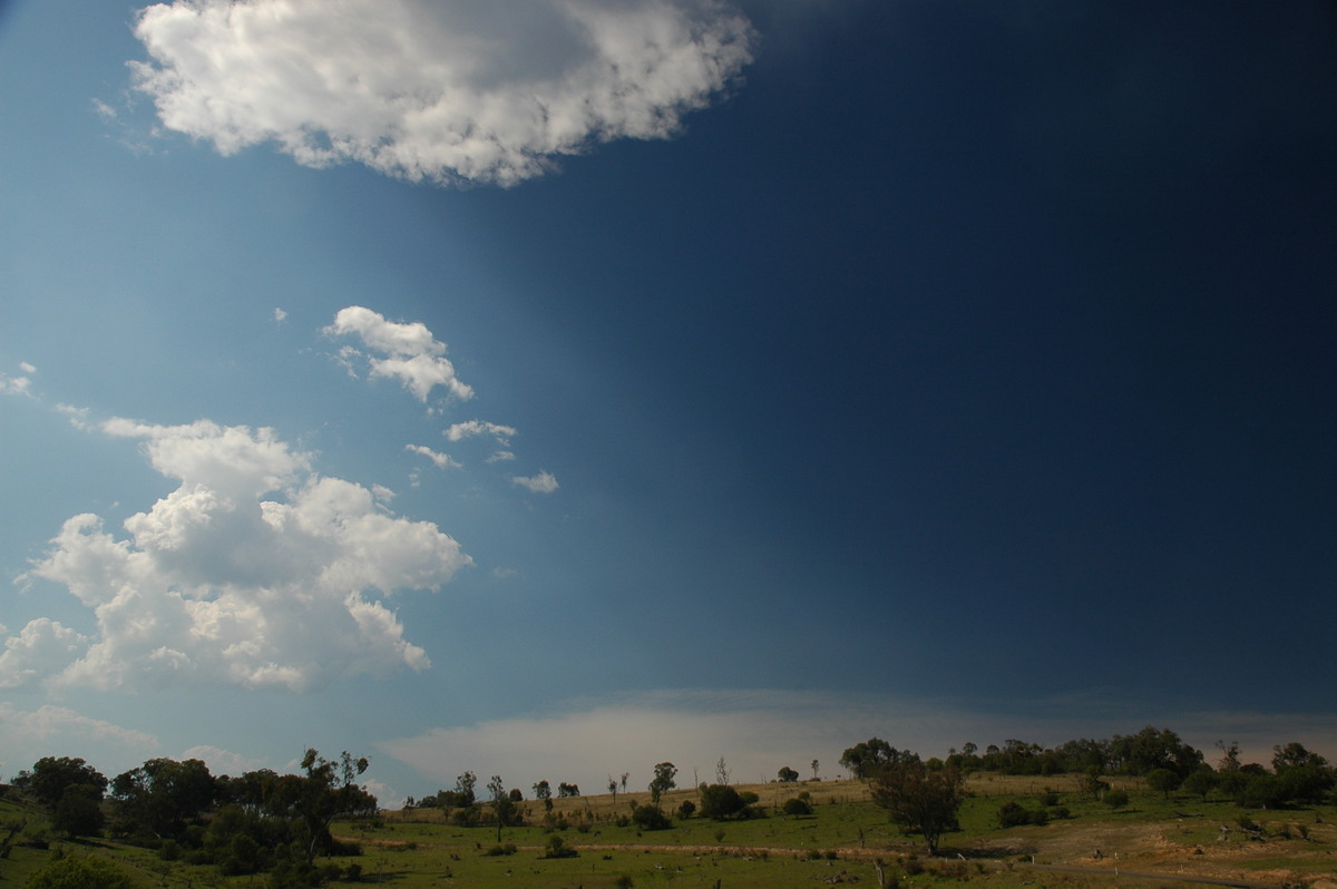
Very warm and mostly cloudy locally. Storm chase to Tenterfield where a severe pulse cell developed after 1pm. This storm persisted until about 3pm with another forming further north. Activity cleared after the second storm, though some congestus persisted a little while.
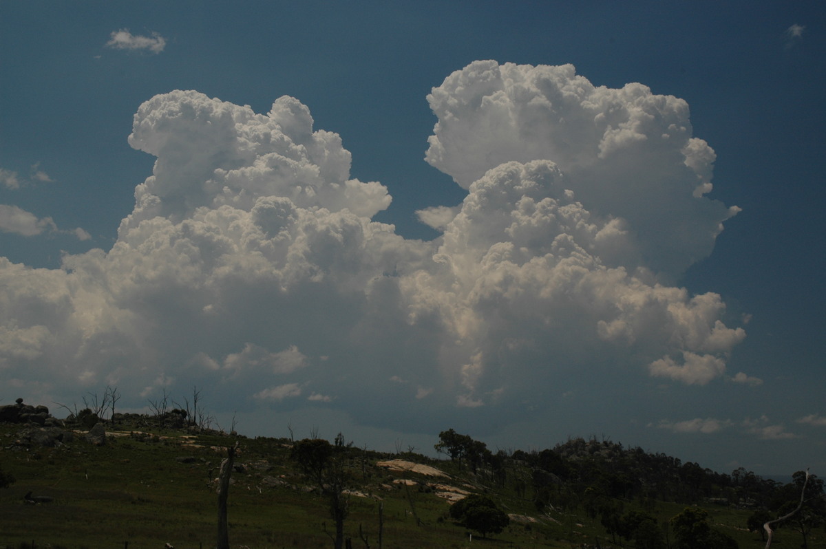
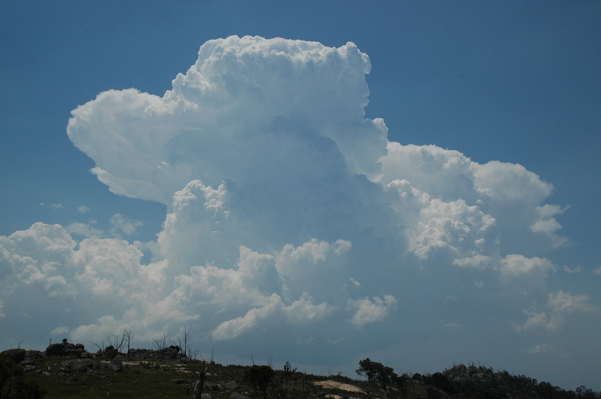
Explosive updrafts observed on the first storm which moved towards the NNW.
Mid level funnel seen just near Wallangarra on Queensland border.
Discussion about this event can be found in the Australian Severe Weather Forum
More weather photos for this event can be found in the Photo Catalog
|
Document: 200611-09.htm Updated: 2nd January 2007 |
[Australian Severe Weather index] [Copyright Notice] [Email Contacts] [Search This Site] |