and Chasing
[Index][Archives]
Northern Rivers Storm Chase - Six storms and possible supercells: Tuesday 4th April 2006
Report compiled by Michael Bath, Rodney Wallbridge and Dave Ellem
| Storm News and Chasing [Index][Archives] |
Northern Rivers Storm Chase - Six storms and possible supercells: Tuesday 4th April 2006 Report compiled by Michael Bath, Rodney Wallbridge and Dave Ellem |
Chase text by Michael Bath
The forecast setup appeared to favour north of the border with better moisture profile and higher instability in Southeast Queensland. Shear was however, excellent throughout the Northern Rivers with some good turning with height. A cap was in place though it was a bit warm in the uppers. Concerns included whether the low level moisture was deep enough or would it dry out from the west - and if so, would it allow a decent updraft to be sustained locally.
The day was mostly sunny with scattered cumulus and light surface winds. It was also very hot for early April and the humidity was oppressive.
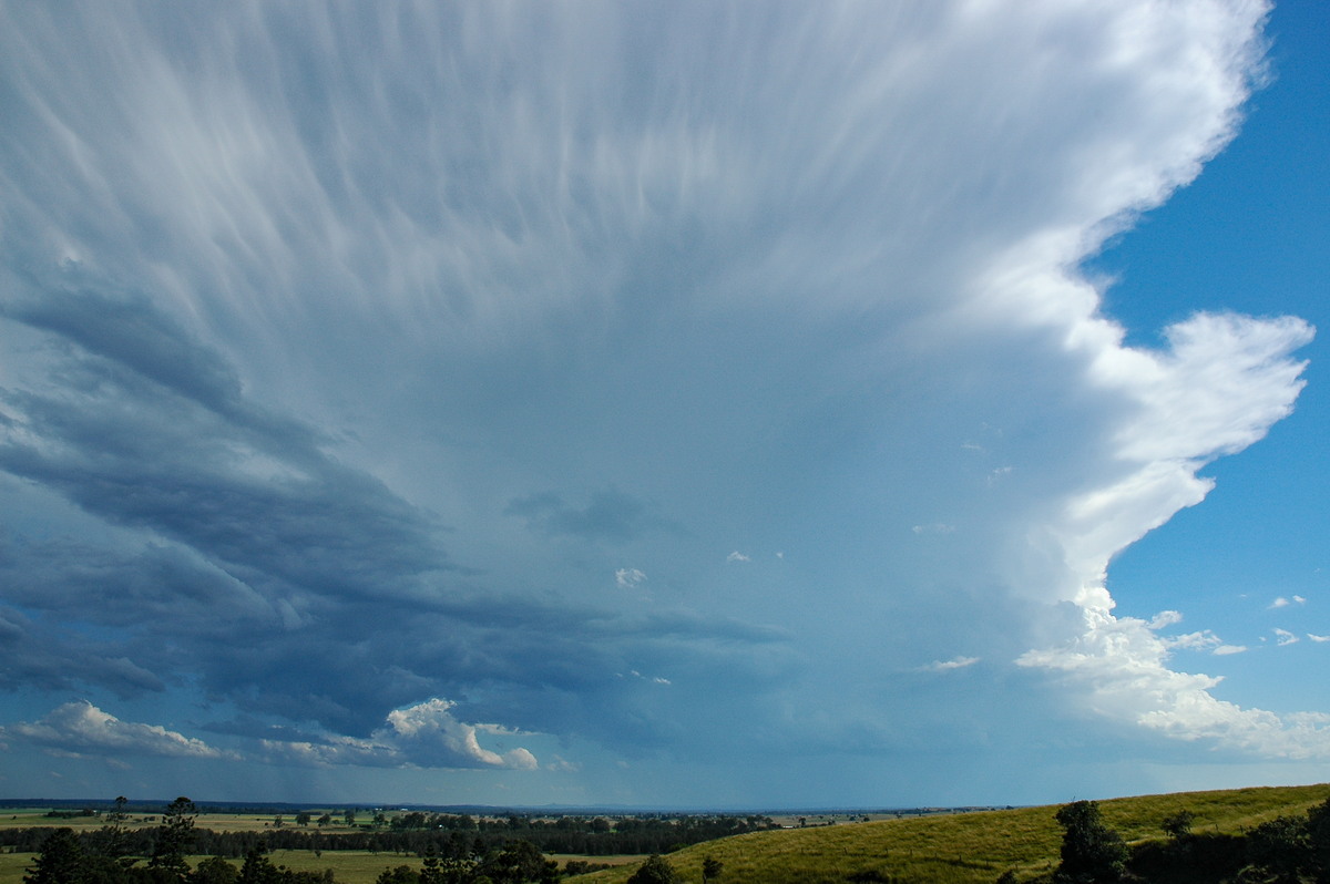
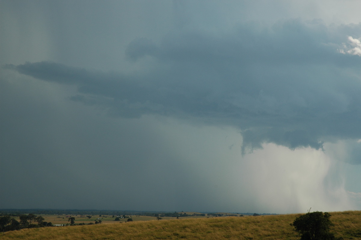
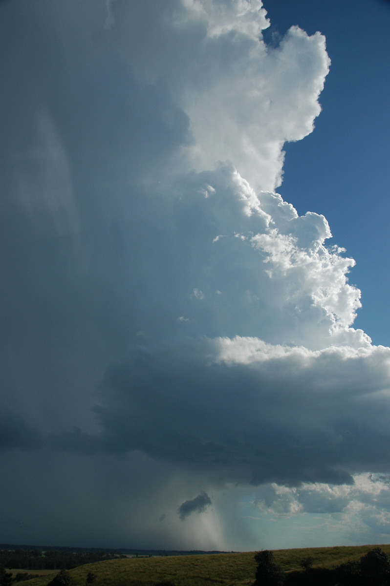
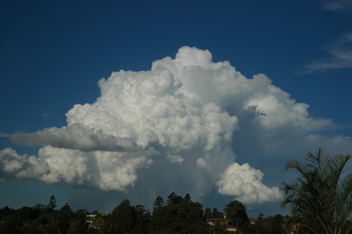
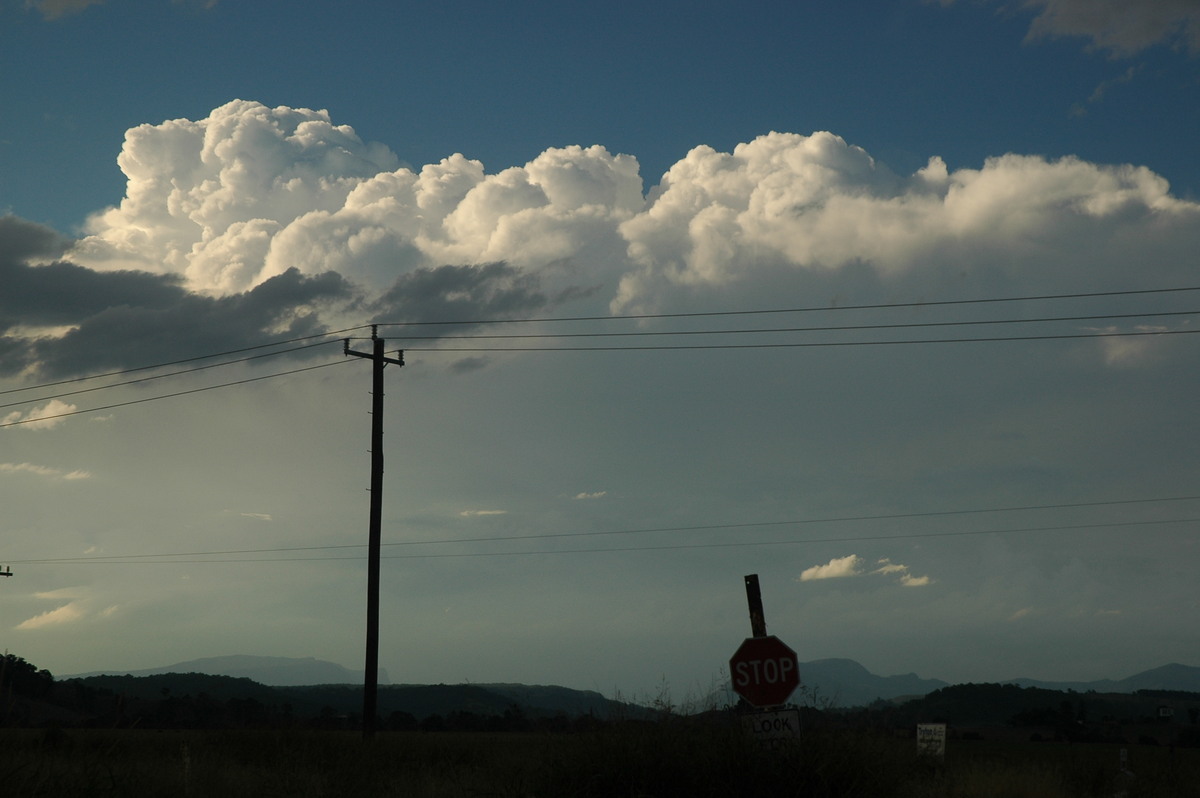
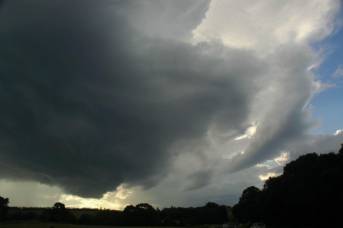
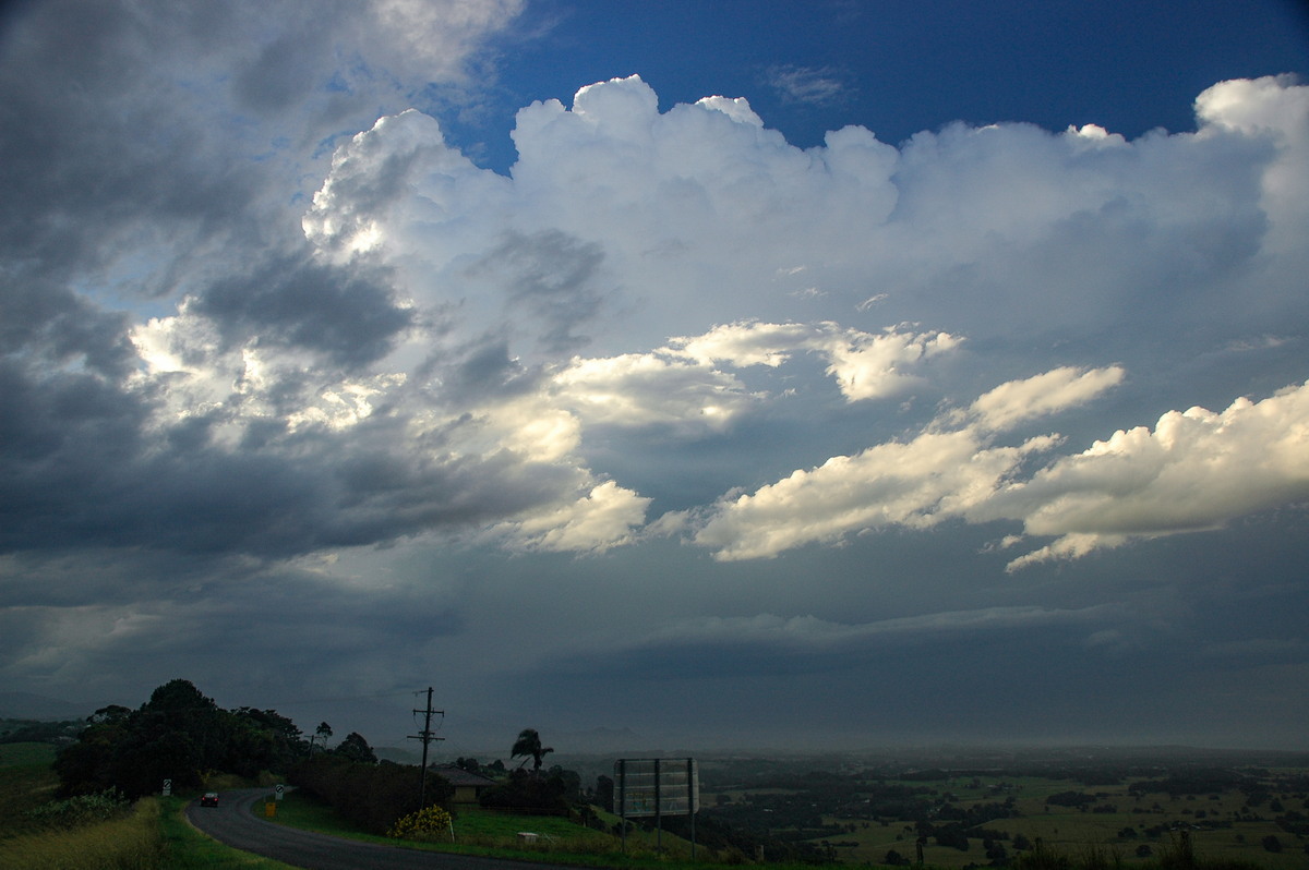
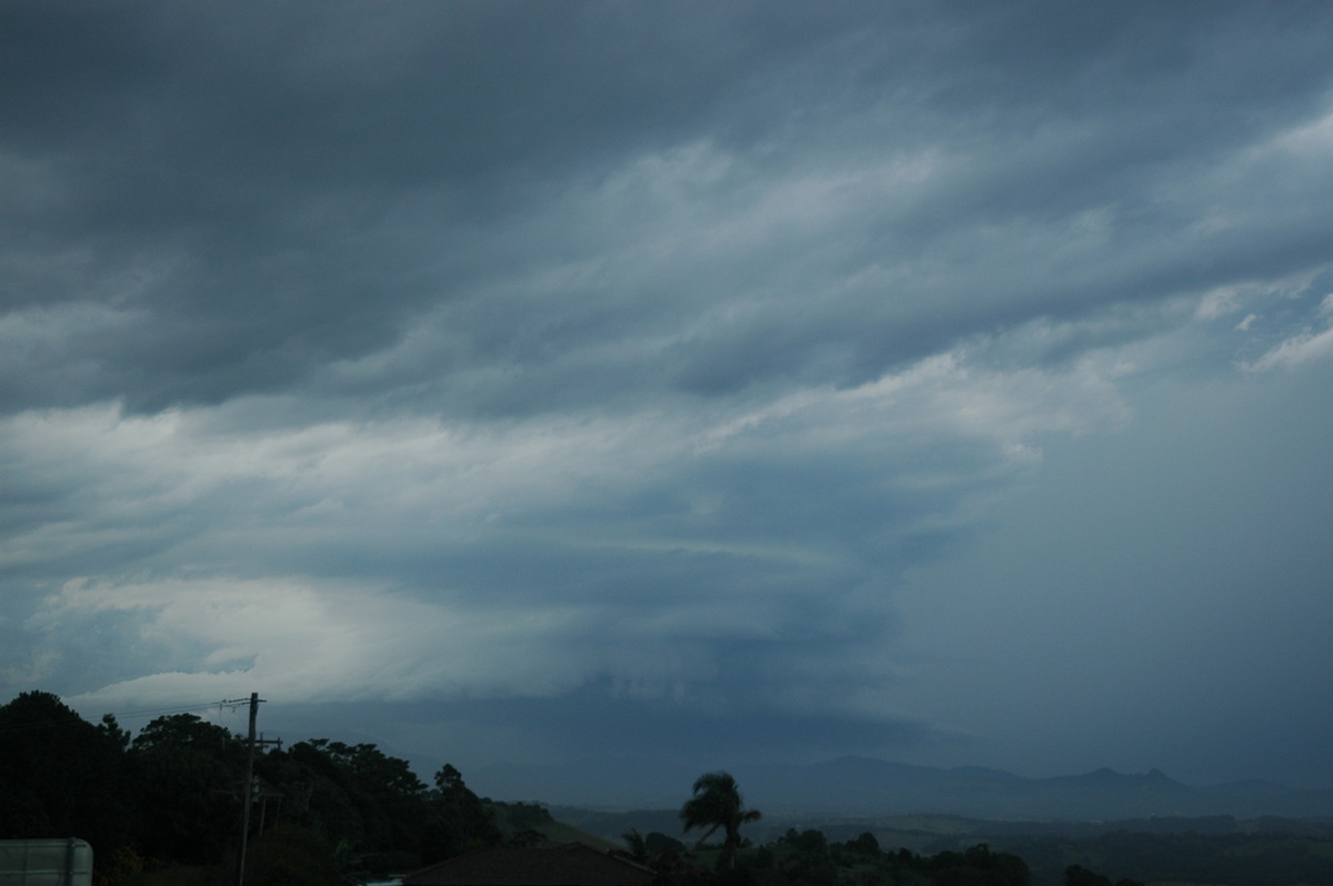
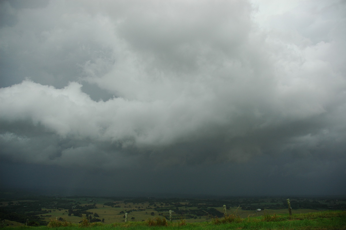
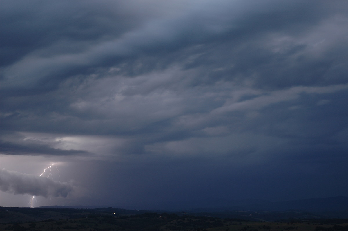
Radar revealed showers or storms were developing southwest of Casino from about 12.30pm onwards. Dave Ellem and I headed out and arrived at the Tregeagle vantage point shortly before 2pm. Two cells were underway with the western one looking like it would dominate.
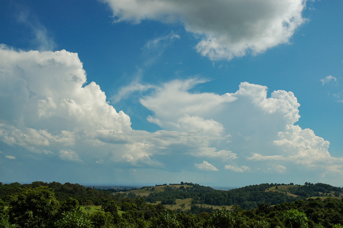
The structure was very encouraging and powerful looking so we decided to quickly head further west to Parrots Nest lookout.
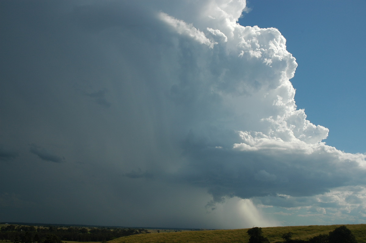
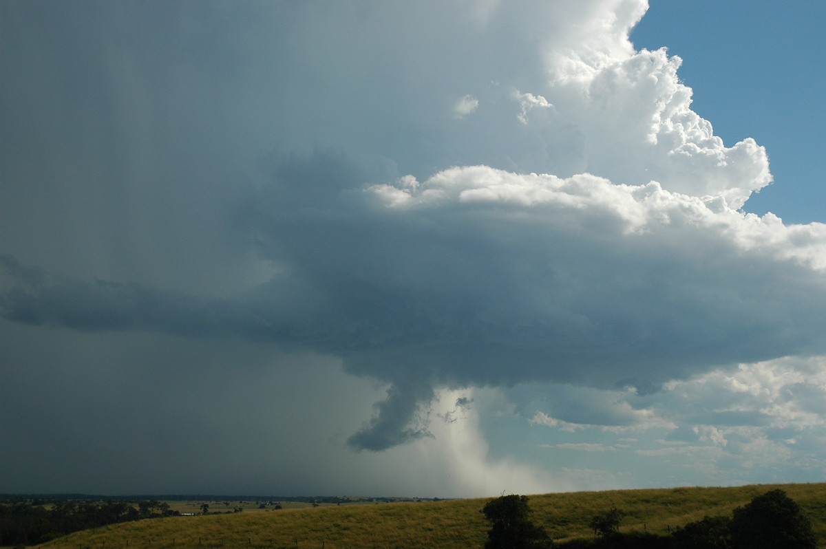
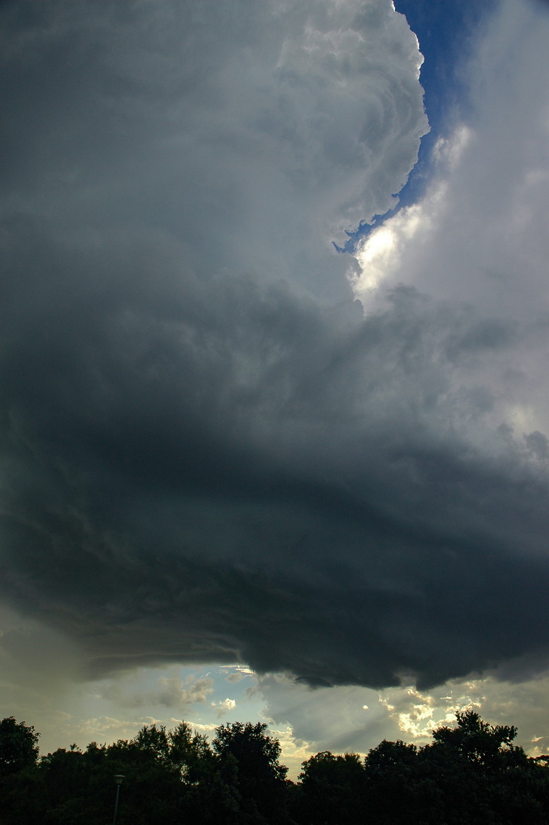
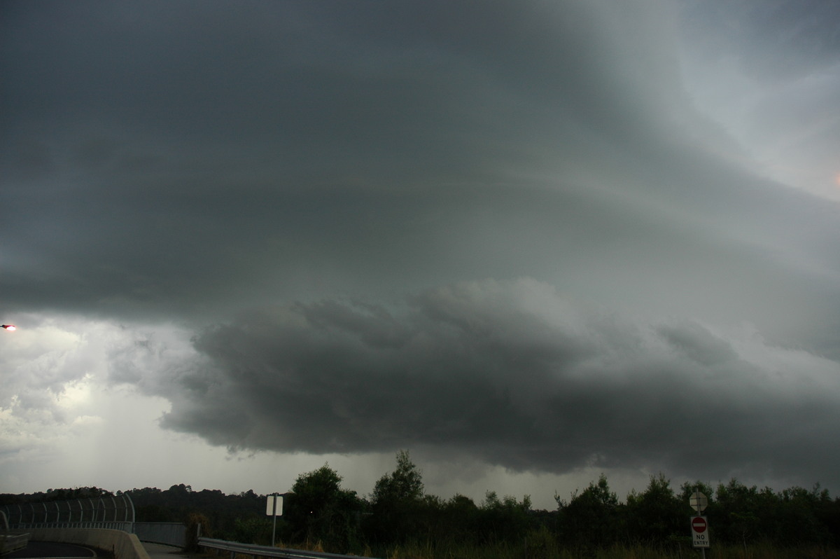
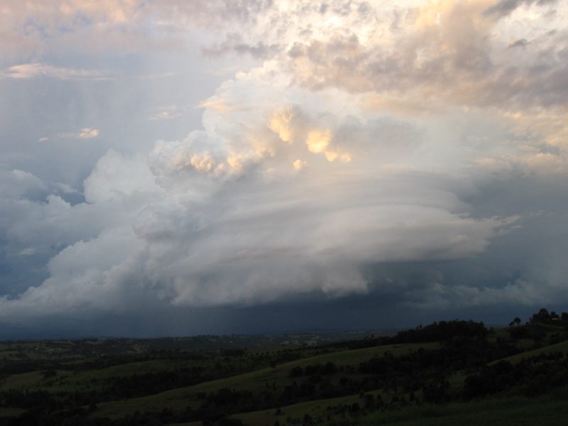
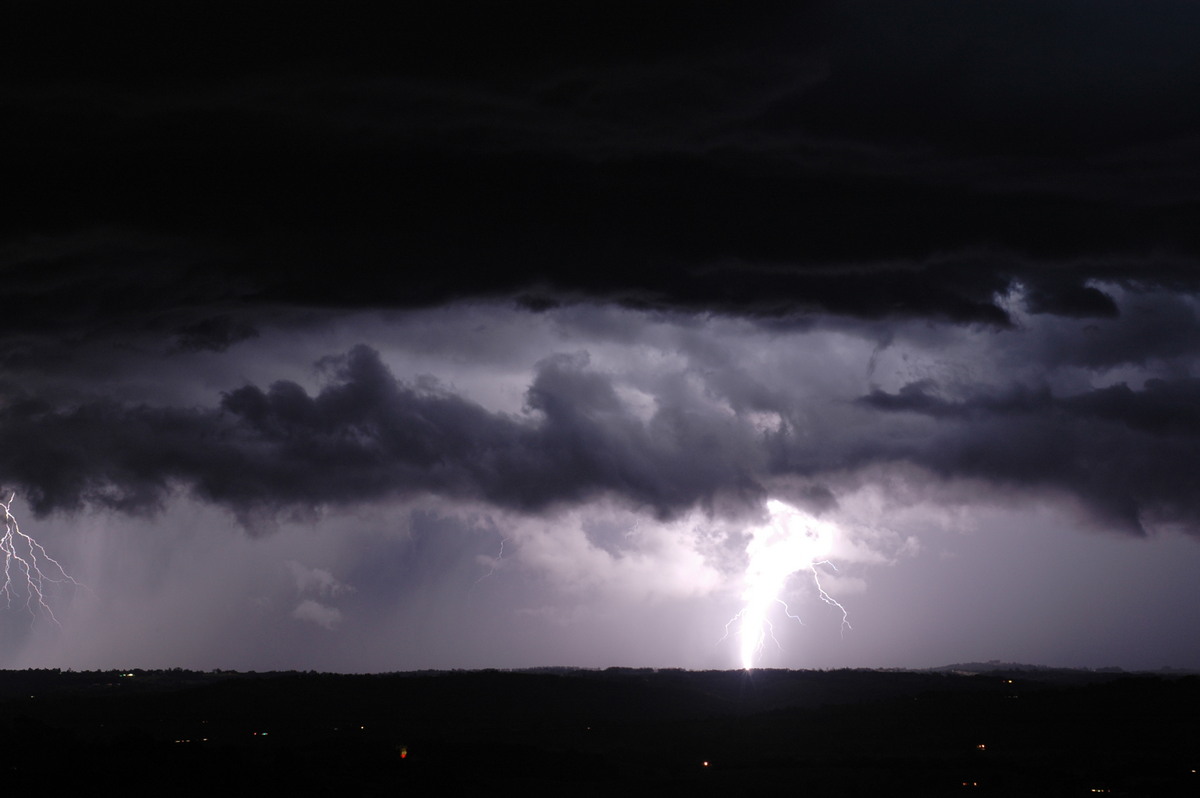
The next hour provided a perfect opportunity to watch this thunderstorm evolve. Strong updrafts continue to punch up on the NE flank, base lowerings and inflow features were observed, and a thick mammatus filled anvil spread eastward. Lightning and thunder were observed under the base and spreading overhead in the anvil.
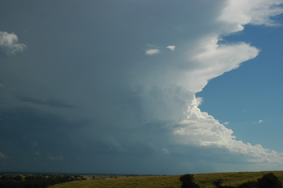
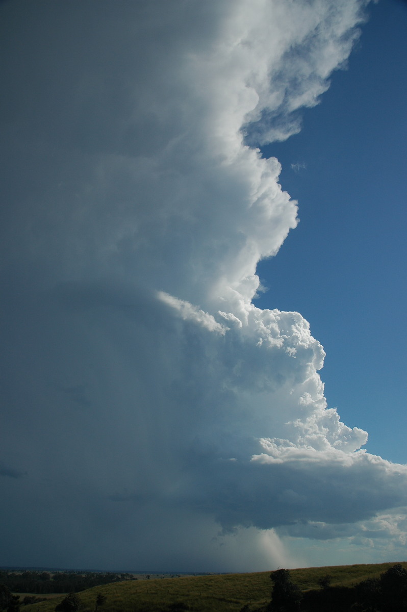
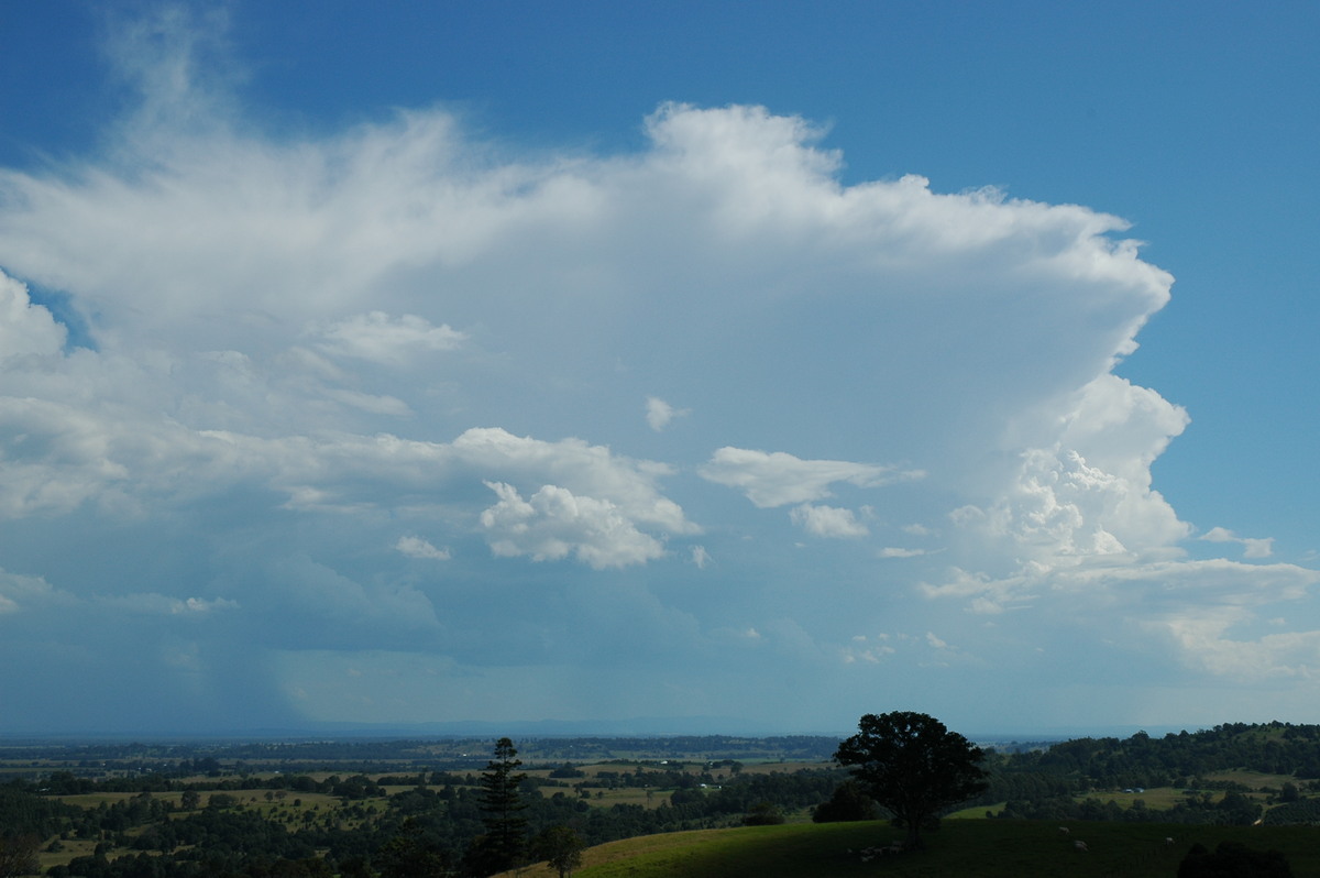
The storm moved pretty well straight at us. What appeared to be a hail shaft formed and persisted on the storm's southern side and at one stage a large scud feature resembled a large funnel.
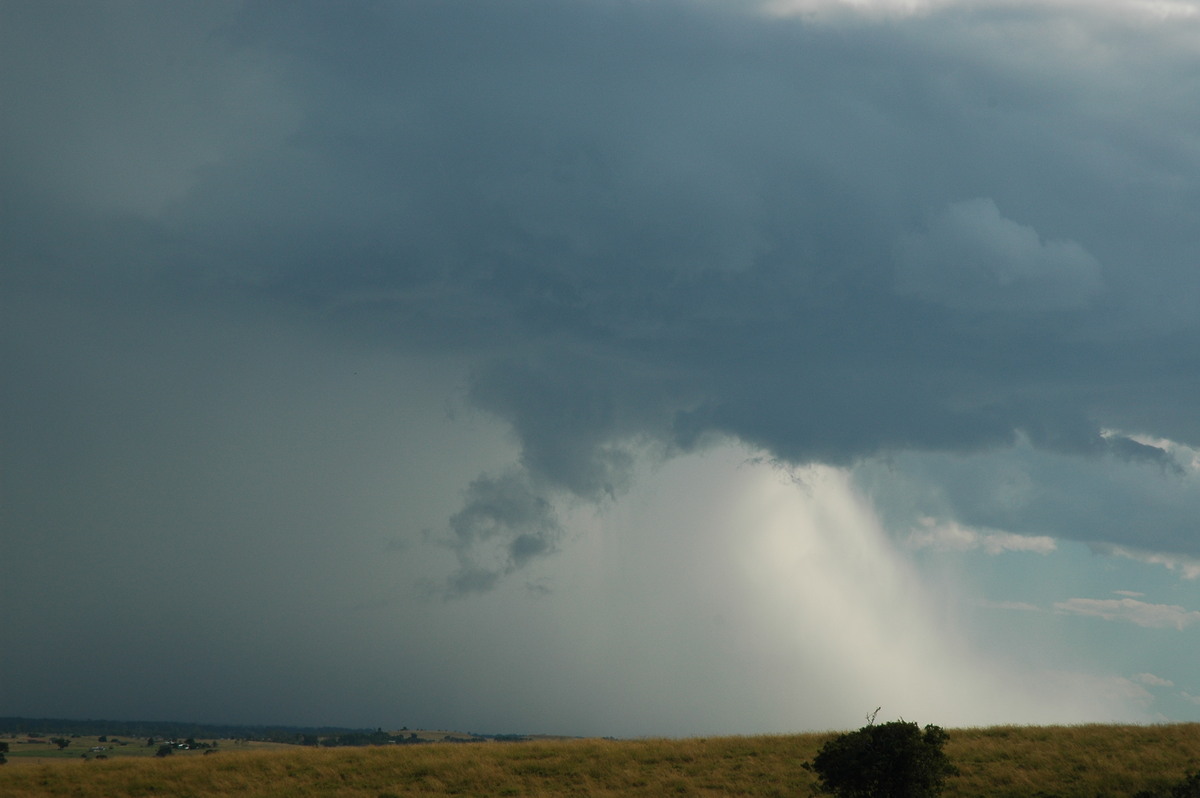
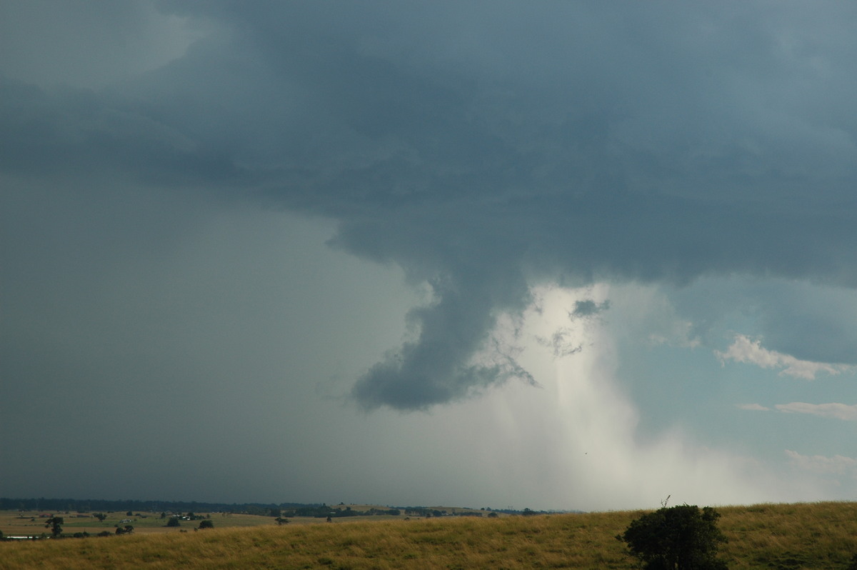
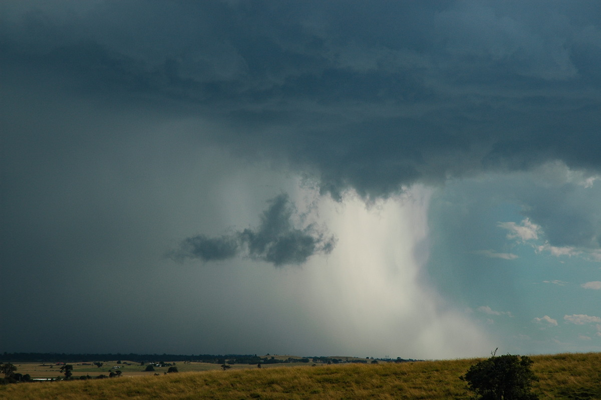
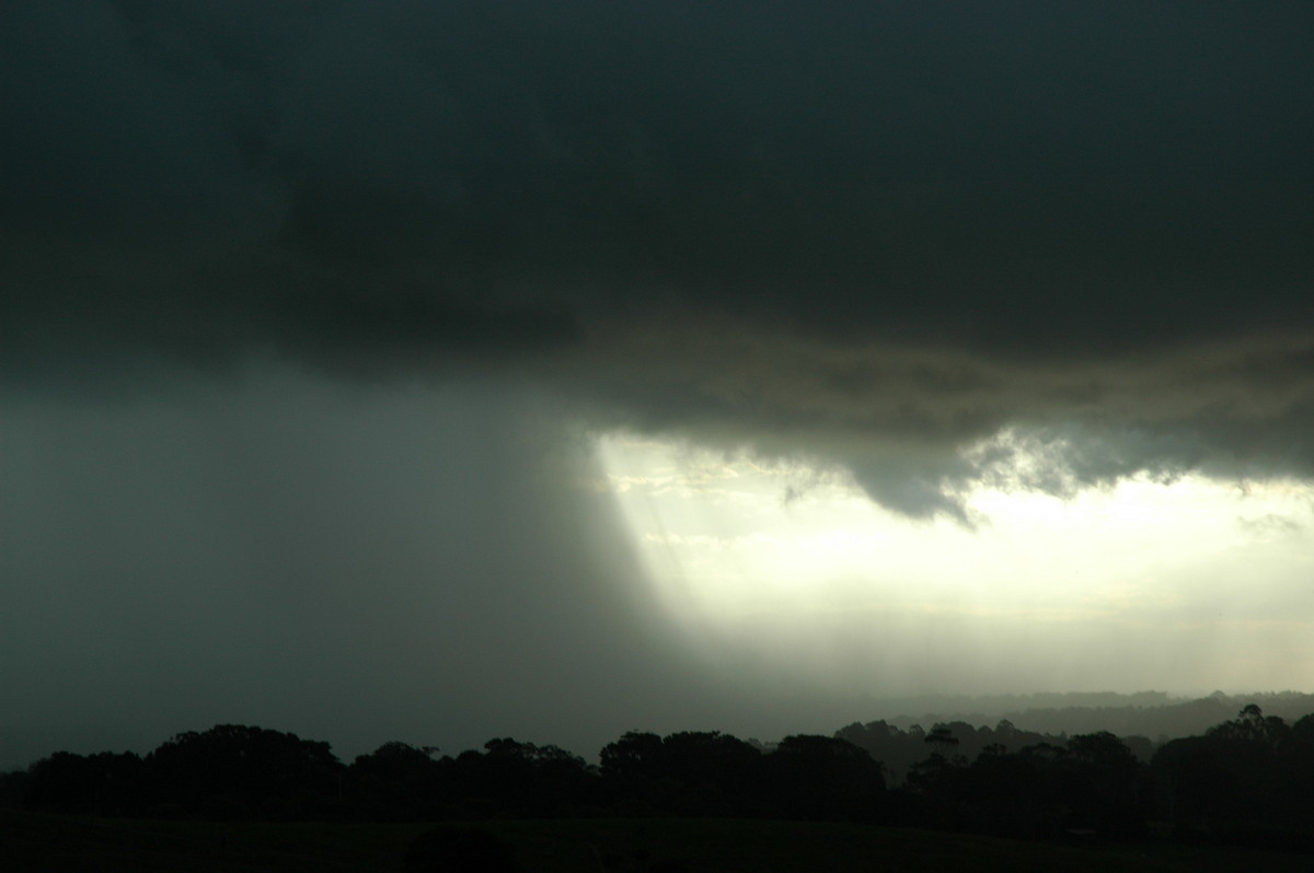
Once the cell was fairly close we decided to head into it to see if hail was falling. At McKees Hill we were hit by very strong outflow winds in the microburst region, possibly reaching about 90 km/h. Some small branches were flung across the Bruxner Highway. Torrents of very heavy rain hit, but no hail was encountered here.
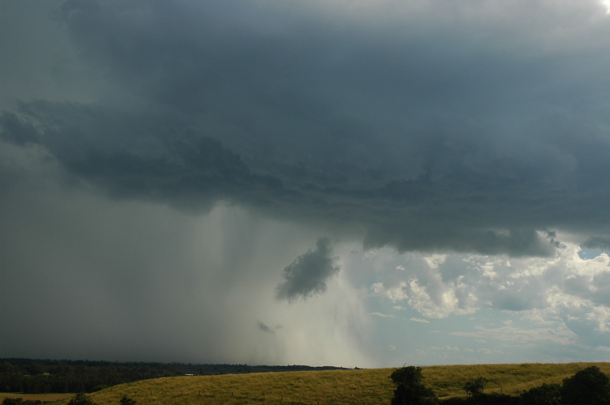
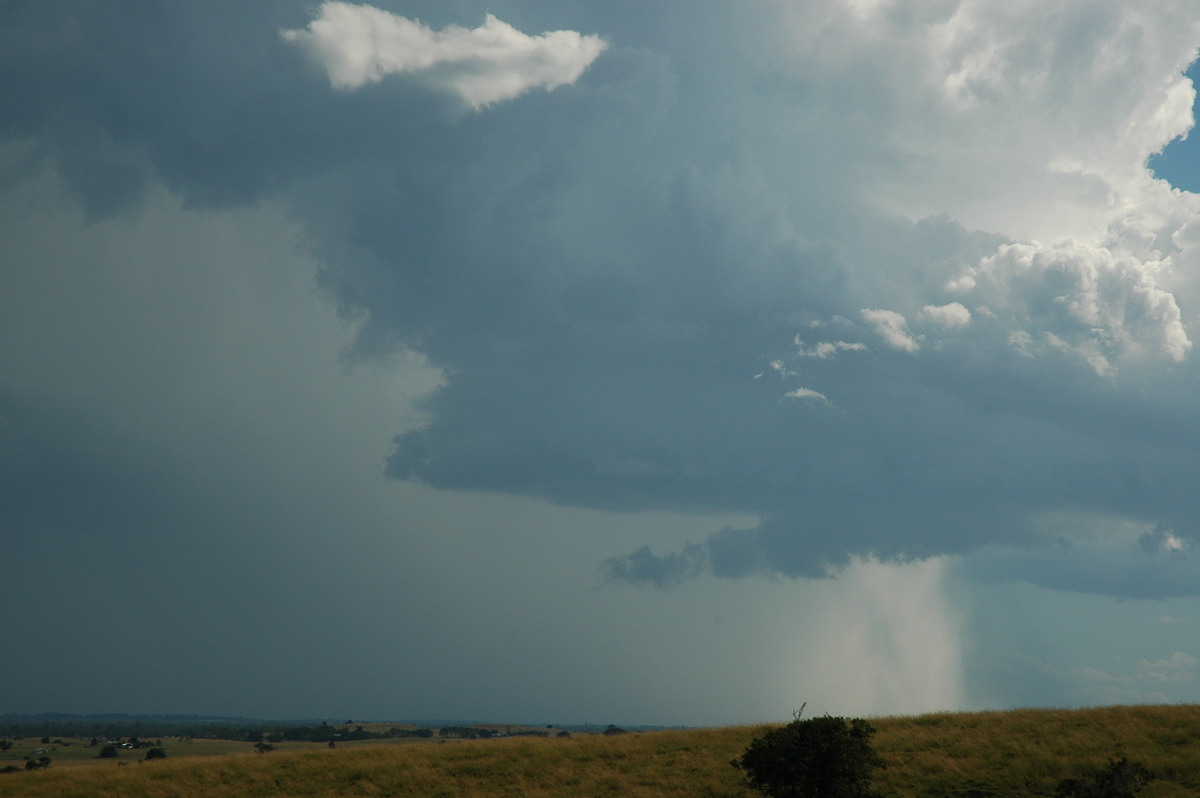
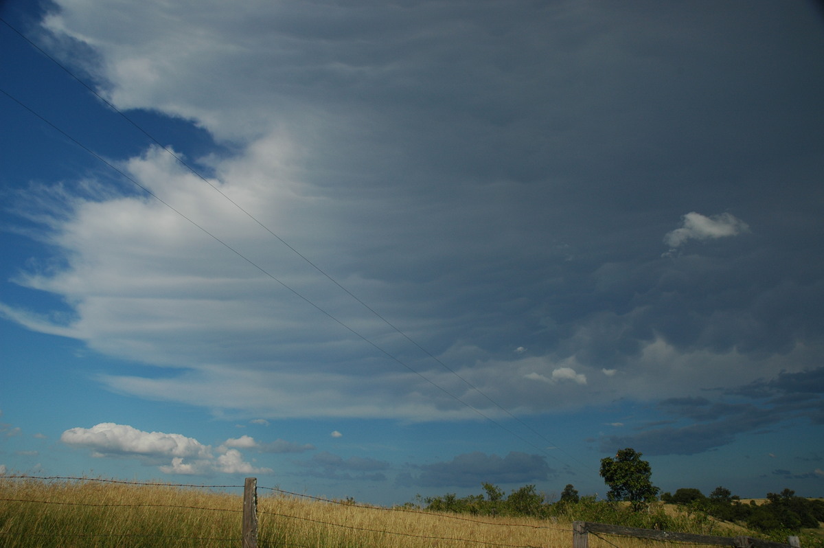
We moved back east via Wyrallah and then eventually to Tregeagle. Most of the drive was in the storm's rain area, with brief breaks depending on the way the roads went. Some small hail (1.5cm stones) fell on us at Tregeagle around 3.15pm. The storm was weakening at this stage but still persisted for another 30 minutes or so while it headed ENE towards Lennox Head.
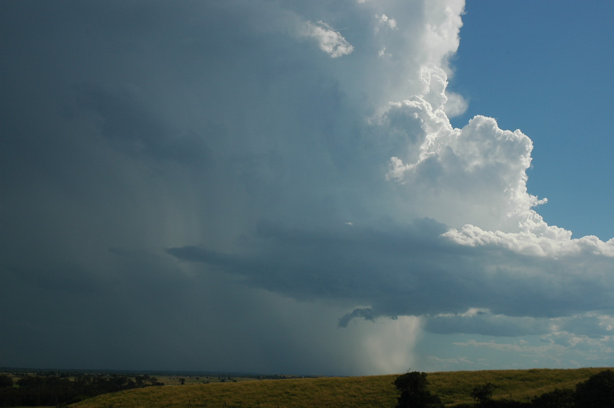
After a brief radar check at home we headed back west to new activity developing between Lismore and Casino.
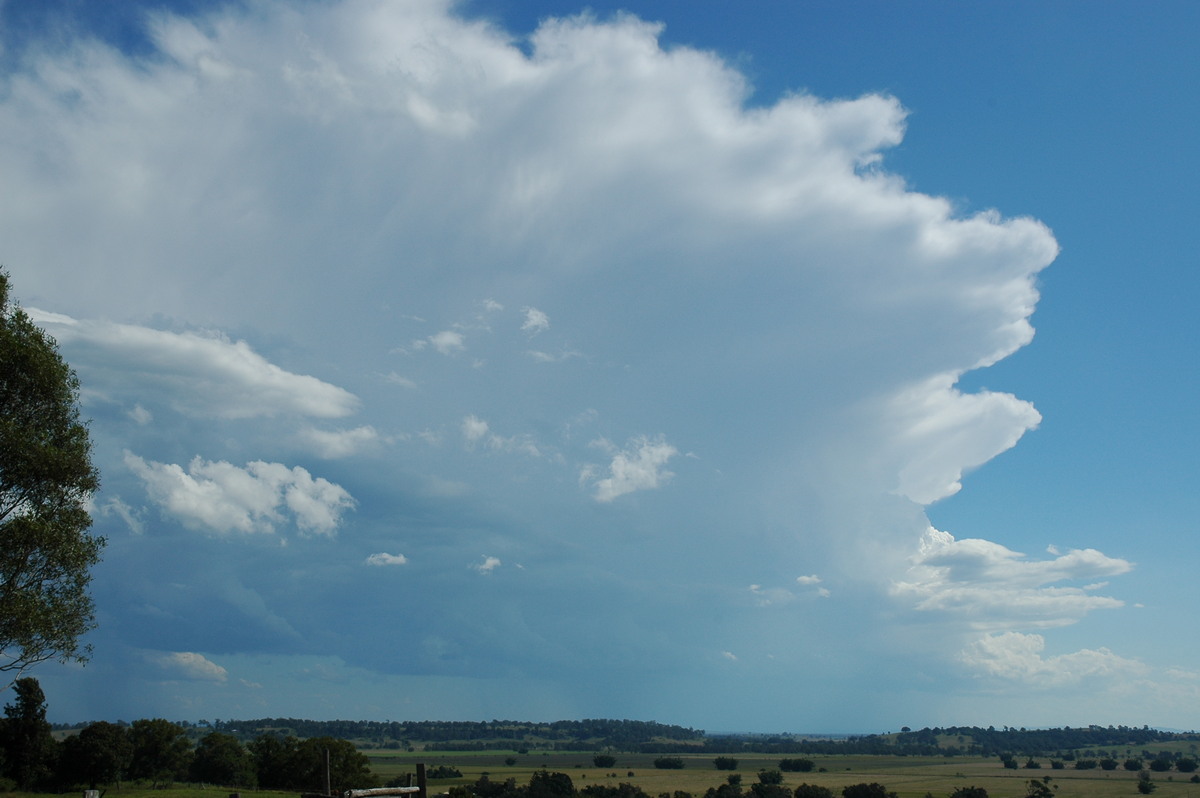
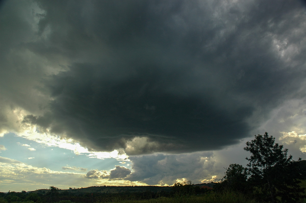
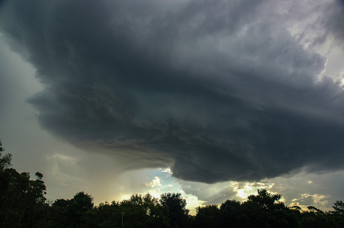
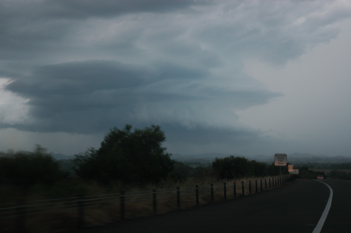
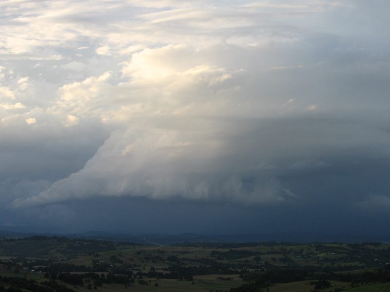
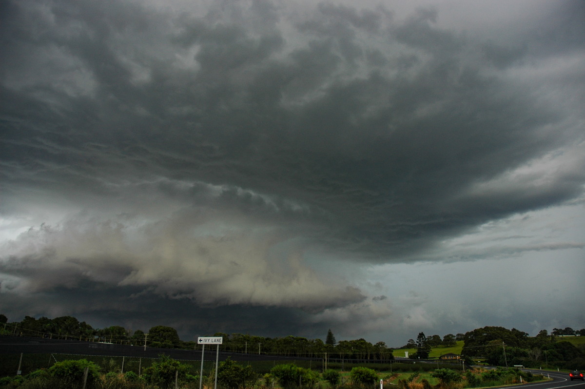
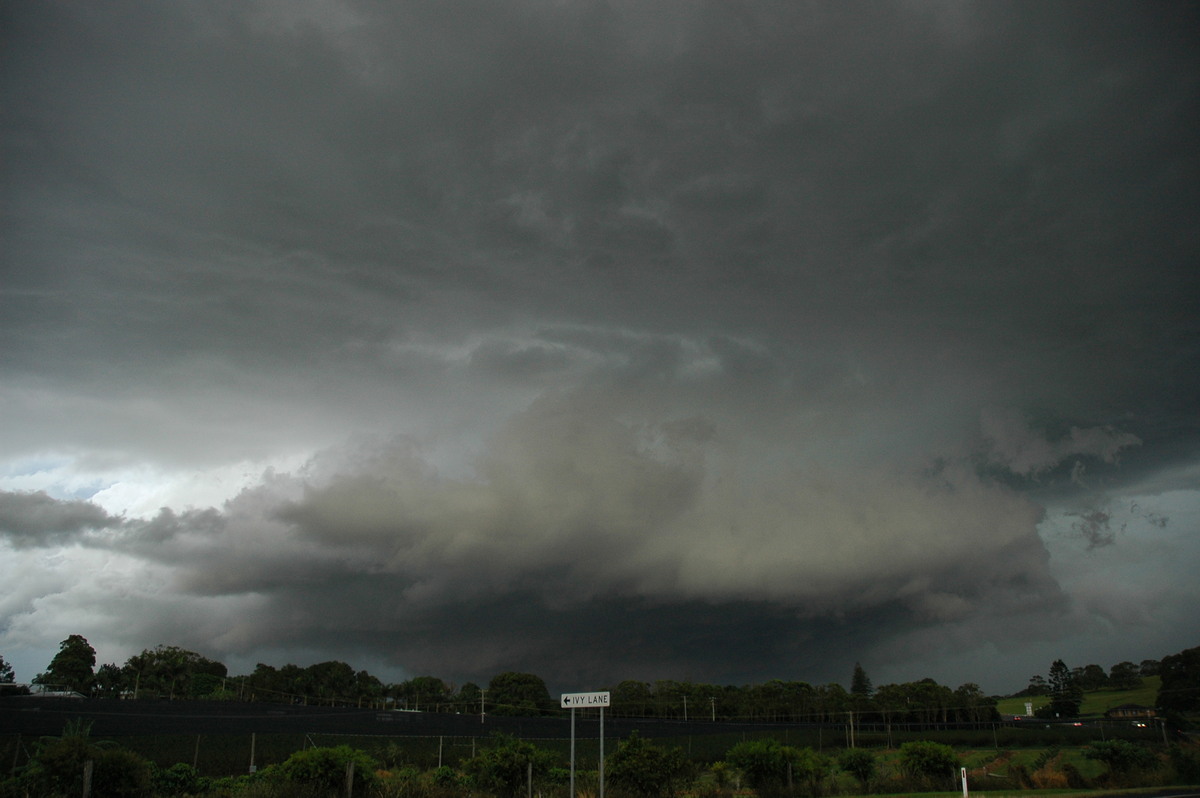
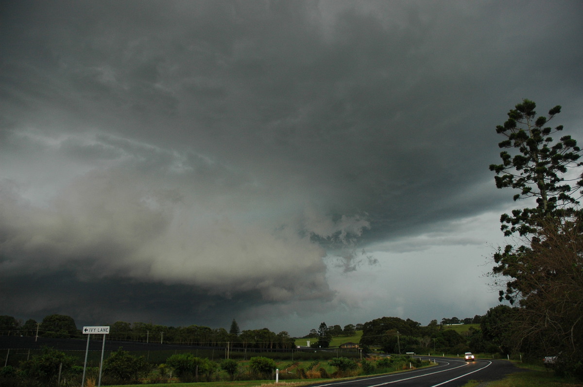
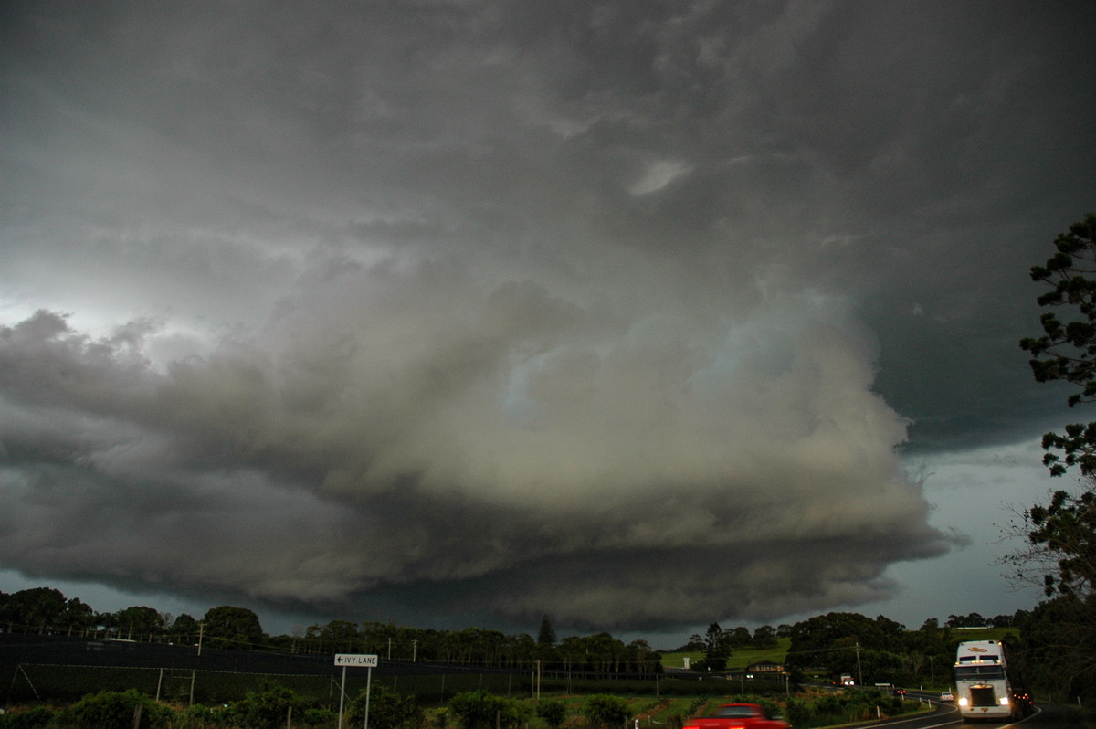
At first things did not look too impressive but a nearby storm base just west of Lismore soon caught our attention. It was becoming suspiciously circular and although we could not see the cell above it, knew it was one to watch.
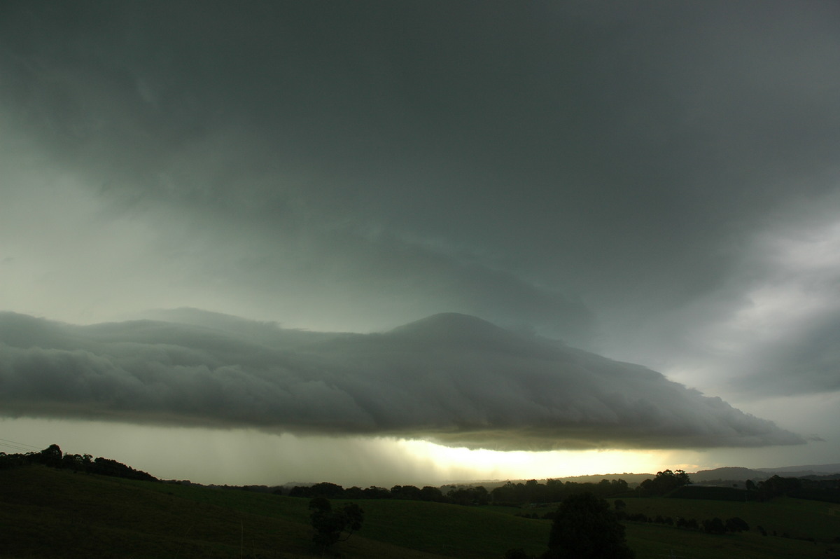
The decision was made to keep ahead of it on the Lismore Bangalow Road. This storm was heading NE and rapidly evolved into a strong cell with donut type base. We just kept ahead of it and at Clunes the base rotation was quite obvious. A powerful updraft towered above.
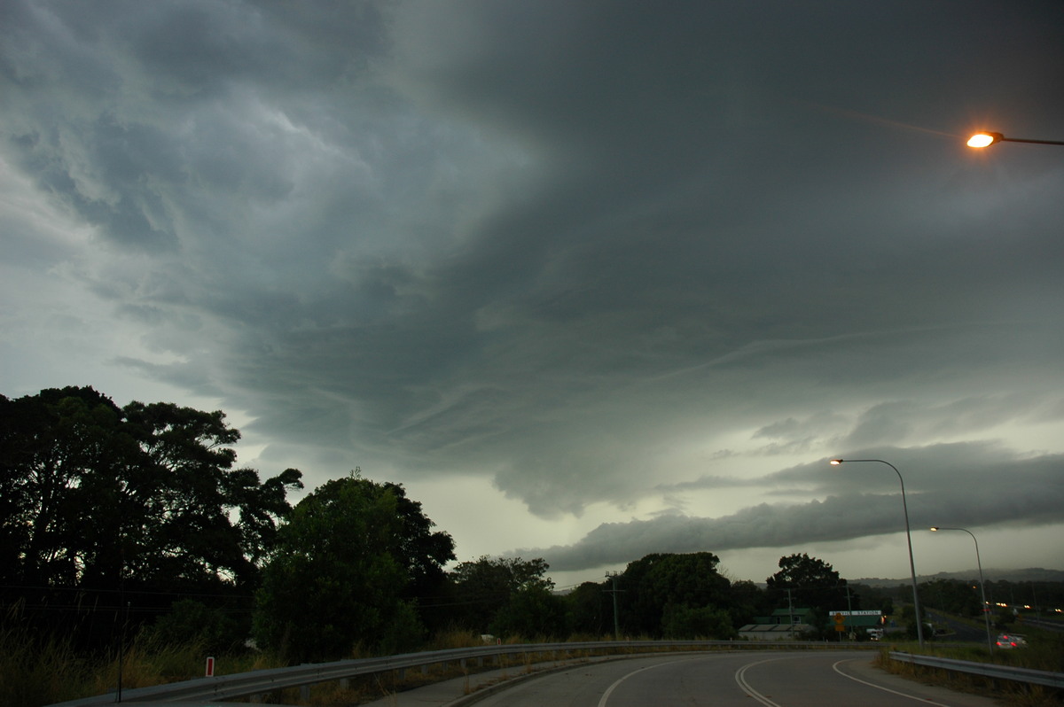
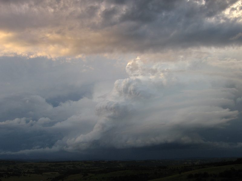
We shot further east, stopping briefly at Nashua before pressing on to the Saint Helena lookout. Rodney Wallbridge had by now left work and was also heading north to the same location.
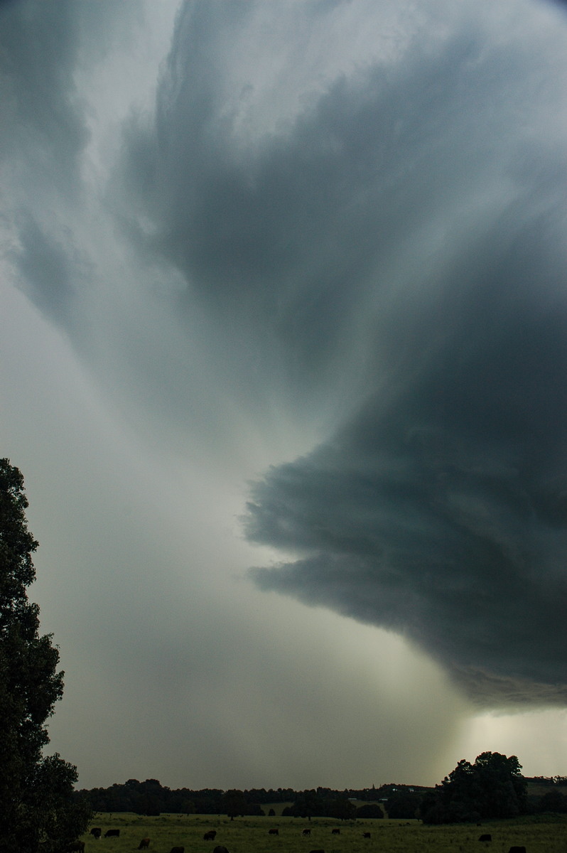
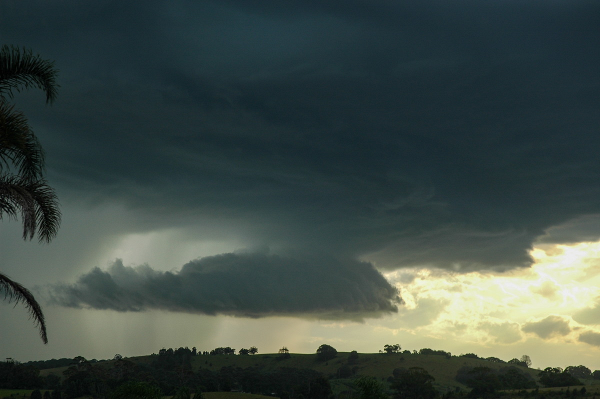
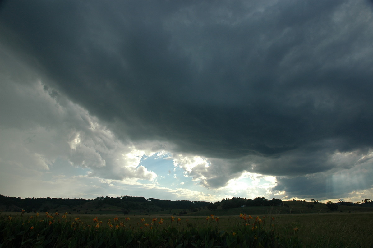
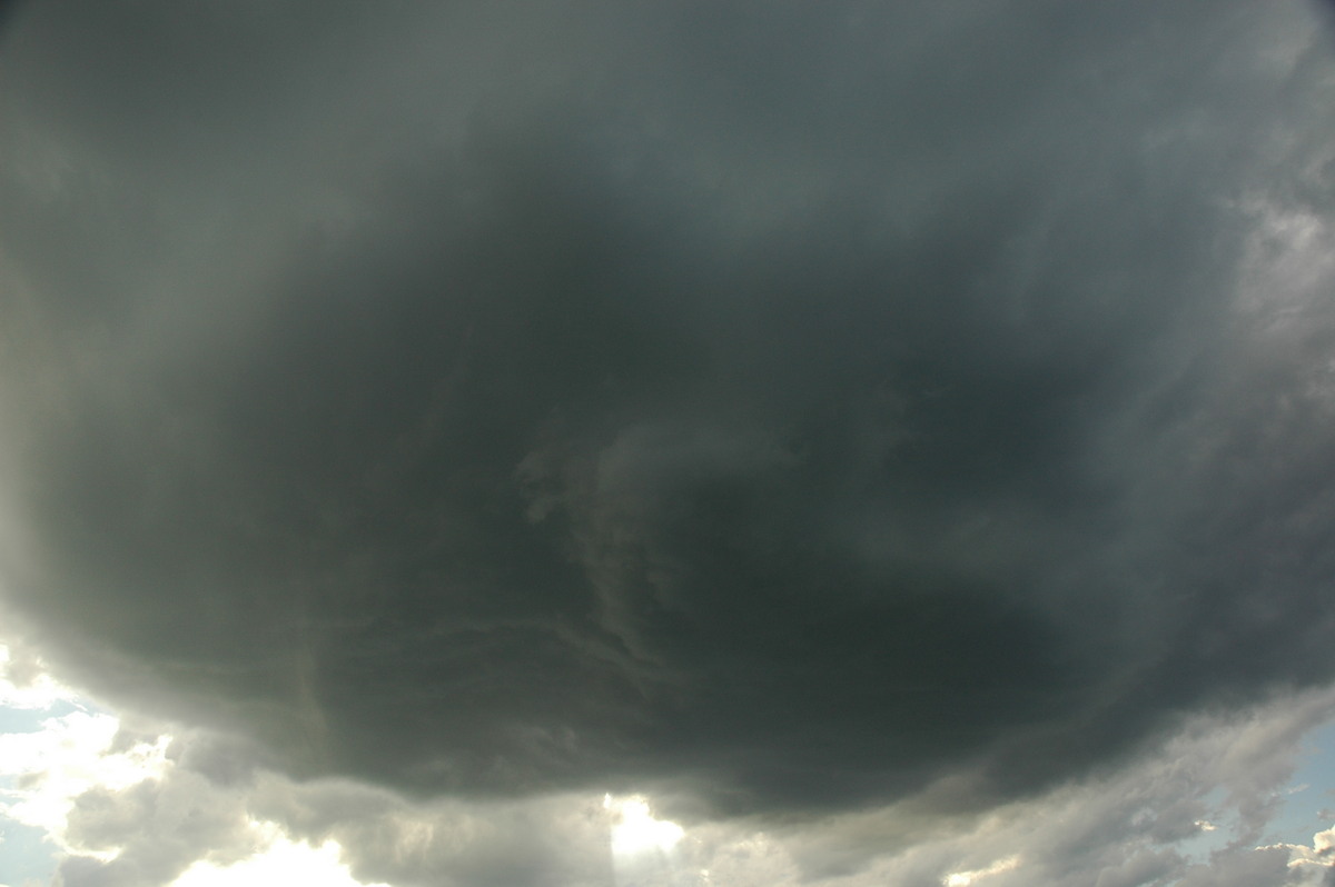
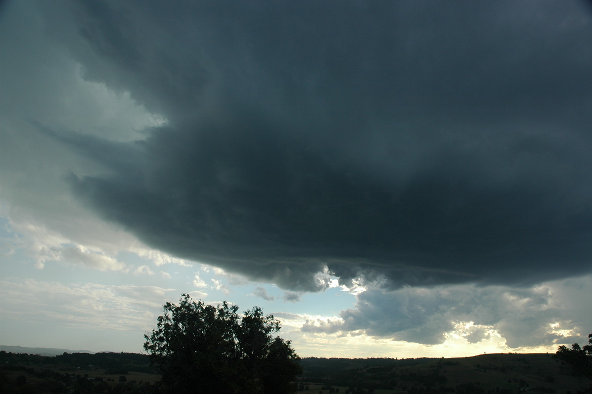
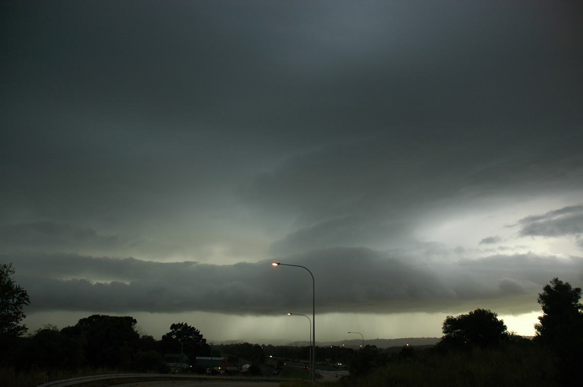
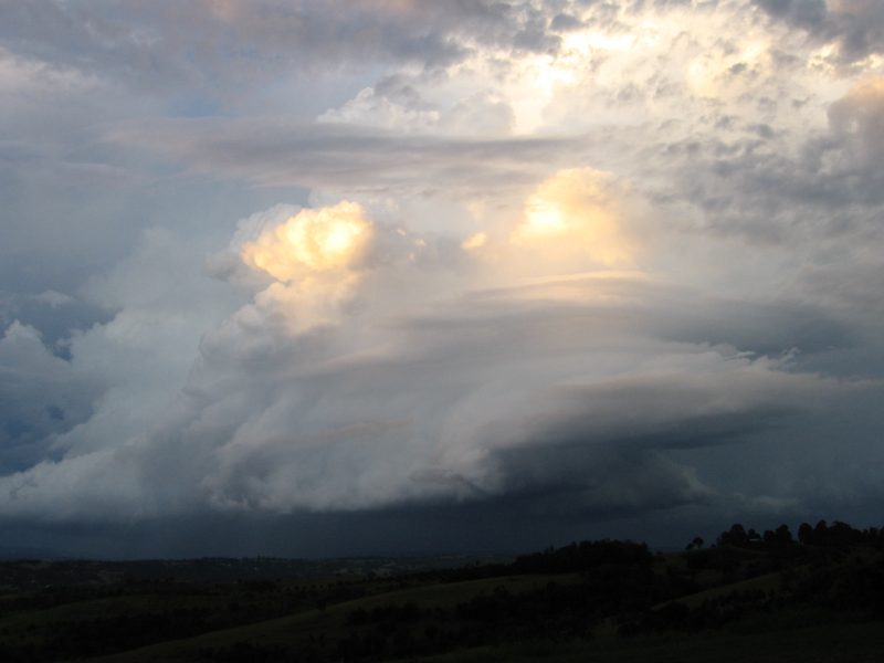
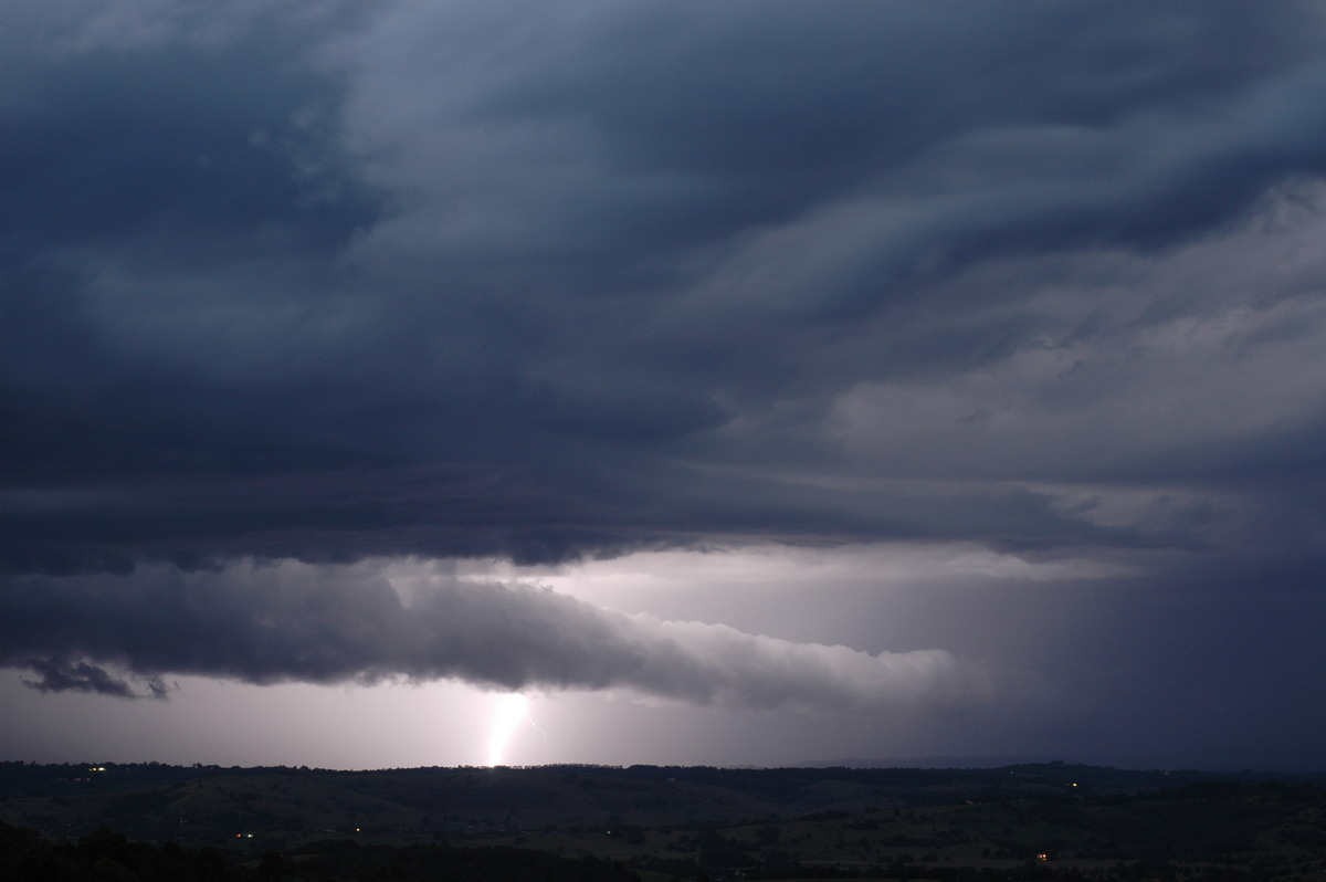
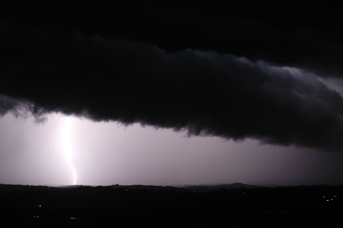
The scene at the lookout was quite dramatic with this severe storm approaching from the SW, while another storm to the NW with supercell features was heading SE ! The cell we had been chasing was becoming outflow dominant. A spectacular shelf cloud feature formed and evolved with powerful CGs hitting through it and nearby to us.
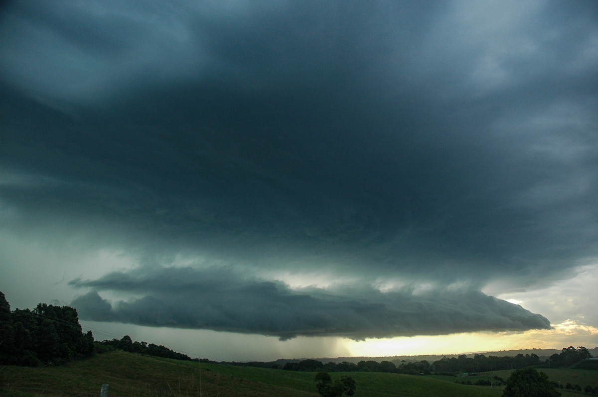
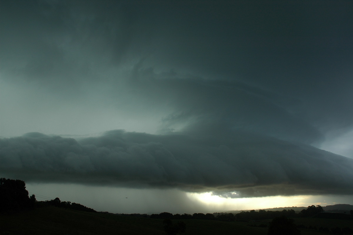

After a short while we had to move to keep out of any severe weather. Rodney parked the Rav4 under the Pacific Highway Brunswick Heads turnoff overpass, while Dave and I set up on top of the overpass. The structure of the storm heading SE was awesome but unfortunately did not last long. The earlier storm continued on its way to Byron Bay. The two storms collided just NE of Cape Byron.
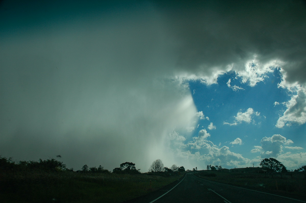
We drove into Byron Bay to see if there was any hail but only encountered torrential rain in still quite warm temperatures.
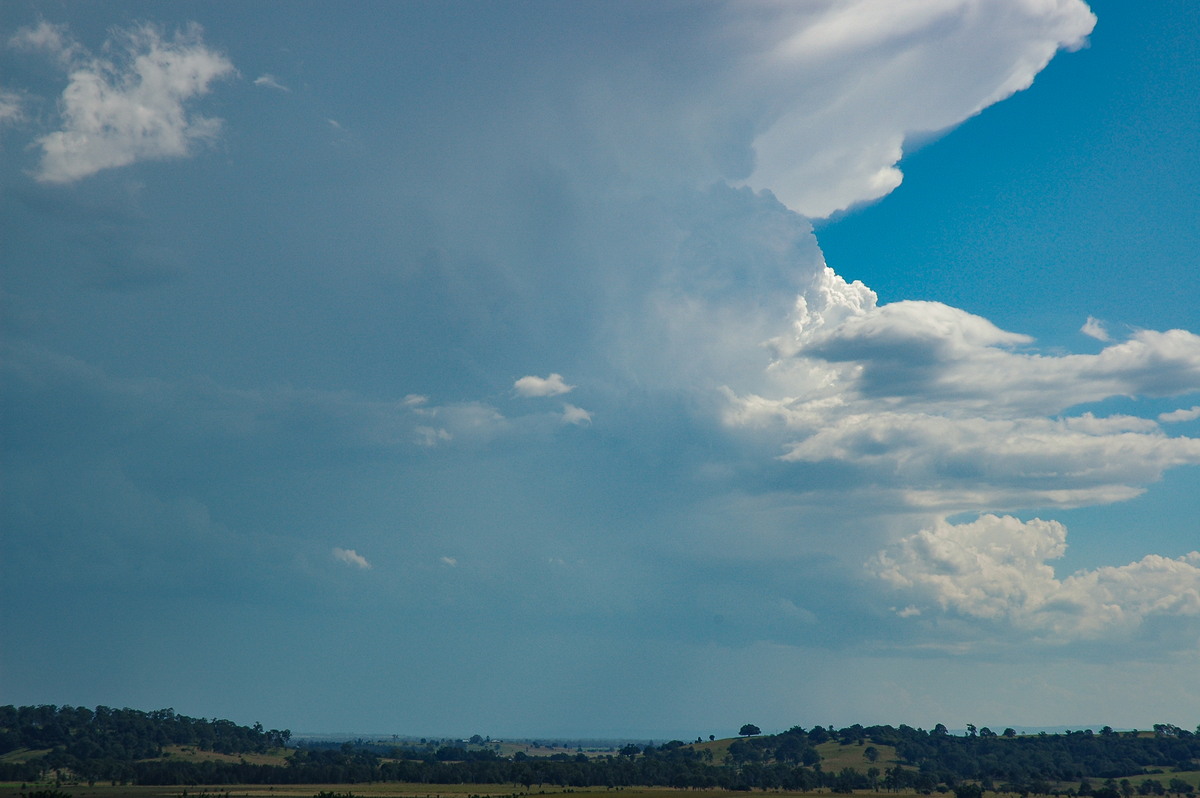
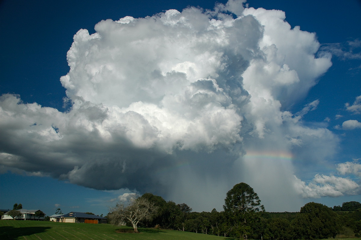
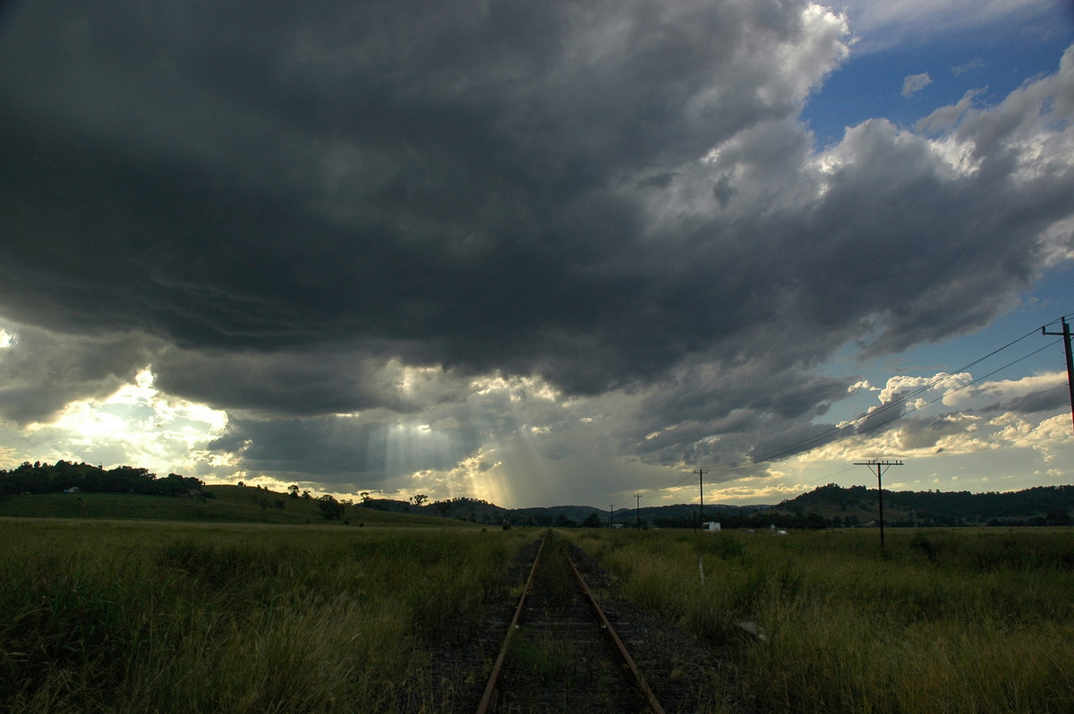
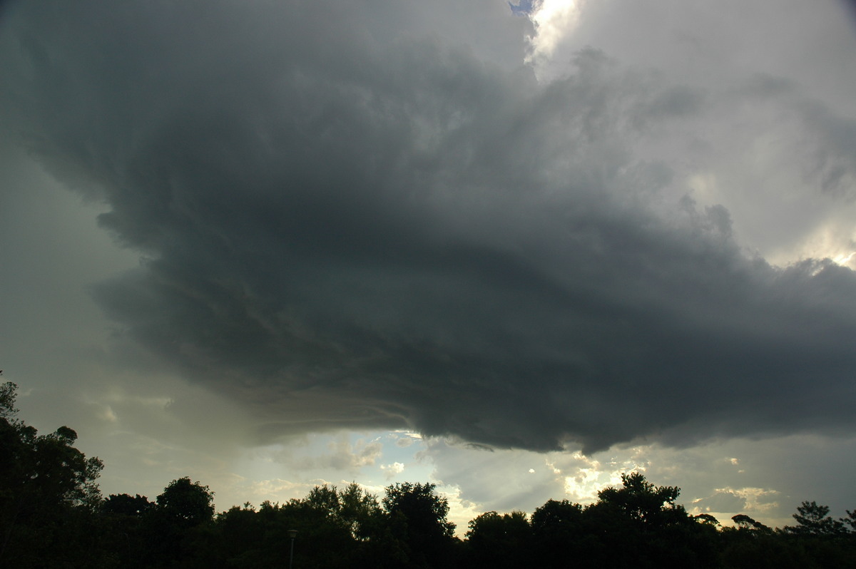
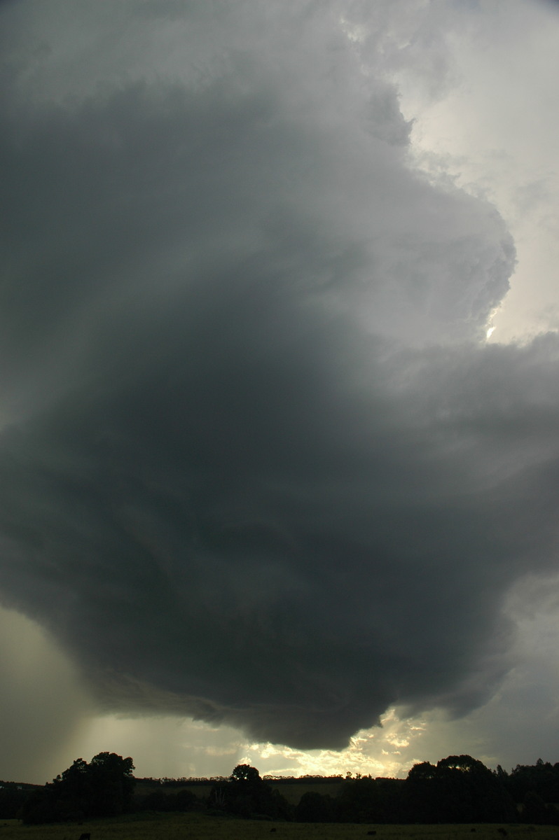
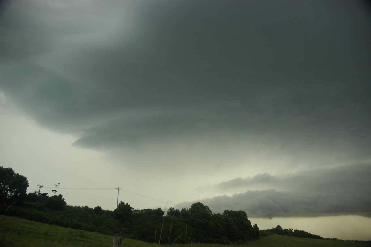
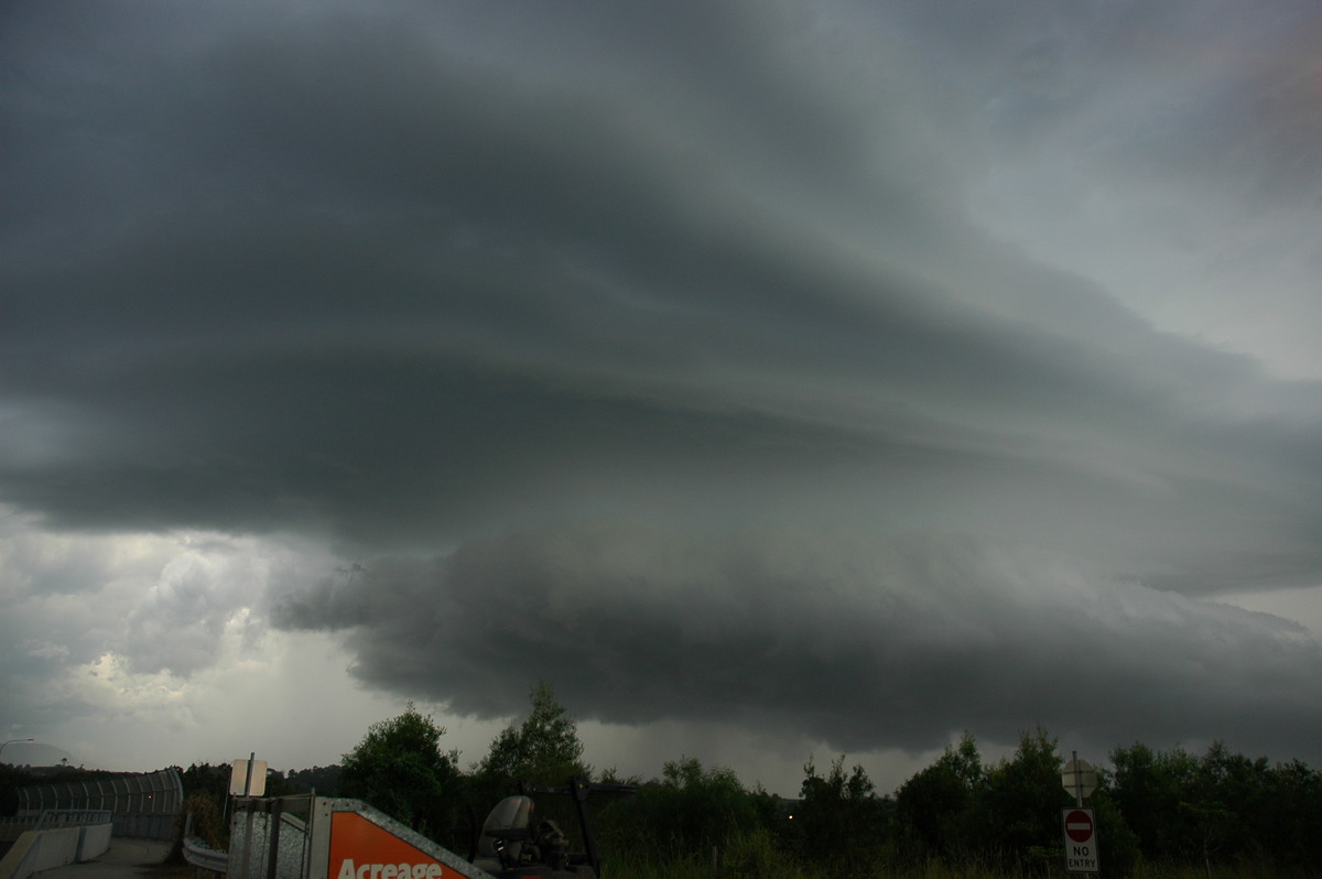
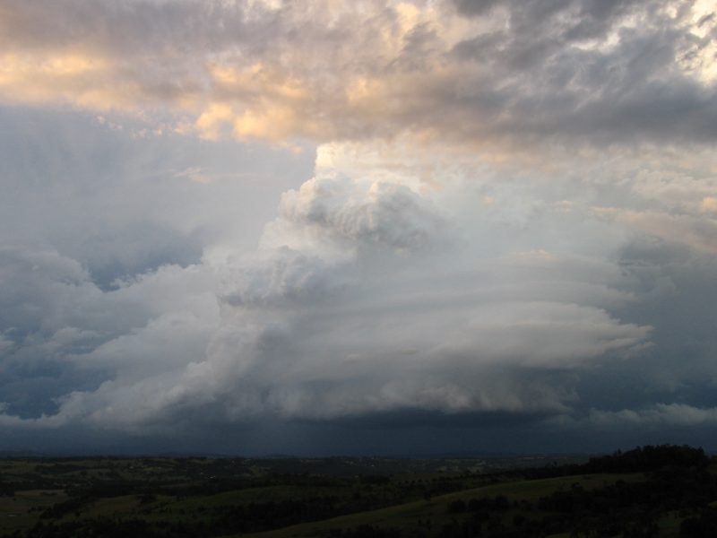
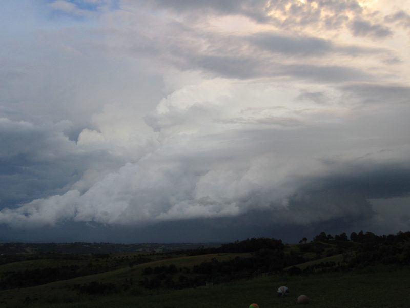
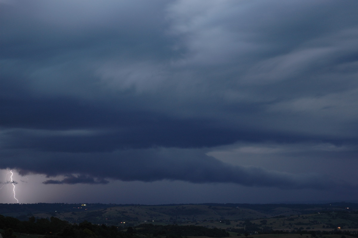
The chase continued back to Saint Helena lookout as storm number four came into view to the near northwest. It also appeared to have supercell structure and was another right mover in an environment you'd expect storms to mainly move ENE to NE.
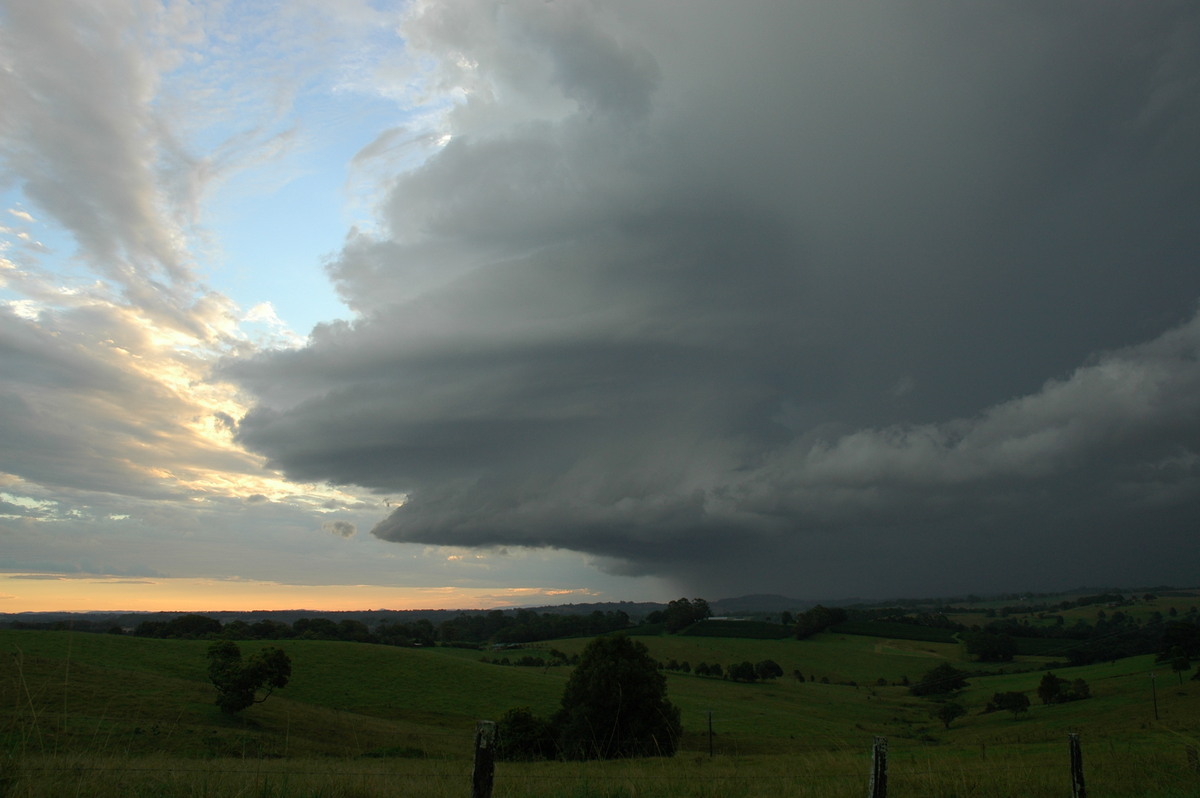
My daughter Katrina took photos of the corkscrew updrafts on this storm from McLeans Ridges.
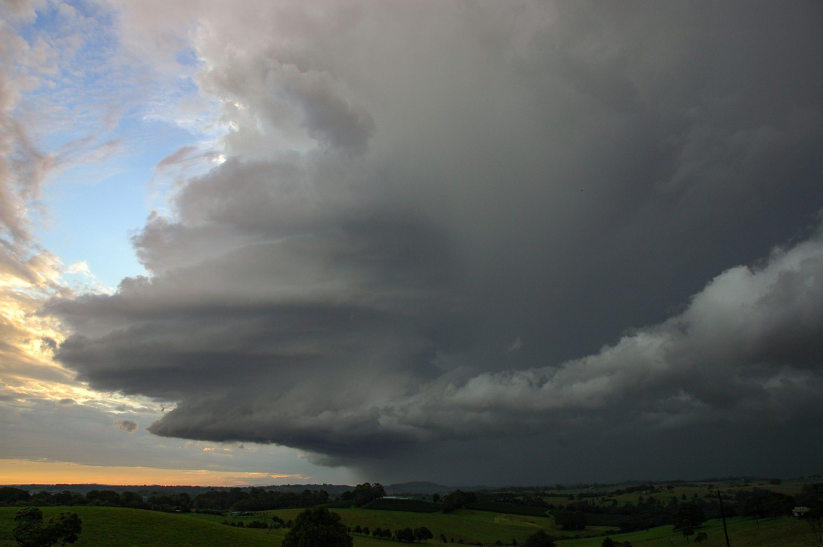
The storm was coming straight at us so we all dashed south on the Pacific Highway to Knockrow. A very impressive structure powered its way towards Suffolk Park south of Byron Bay. A report of hail to 2cm was later received. The Cape Byron Lighthouse was knocked out (a rare occurrence) from either this storm or the previous one.
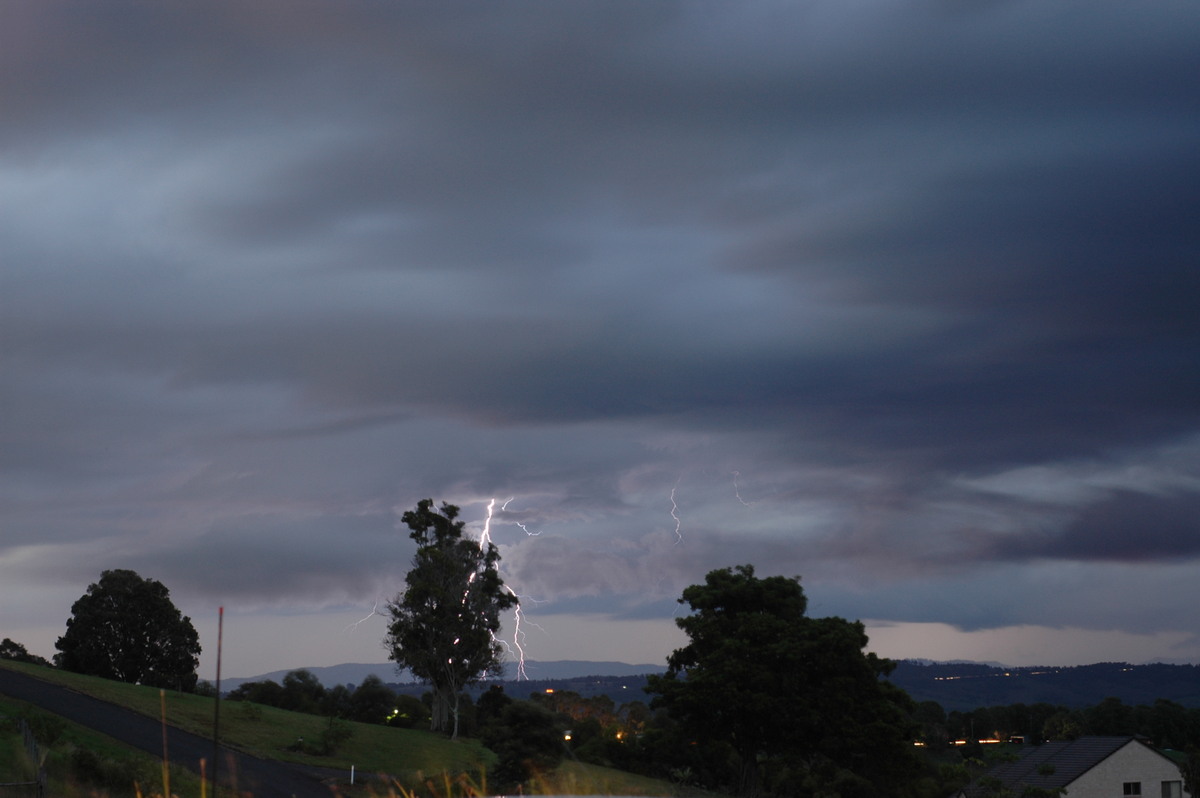
It was now getting dark and still more storms were forming to the WNW. We soon got back to my home at McLeans Ridges and four tripods were set up out the front: mine, Dave, Rodney and Katrina !
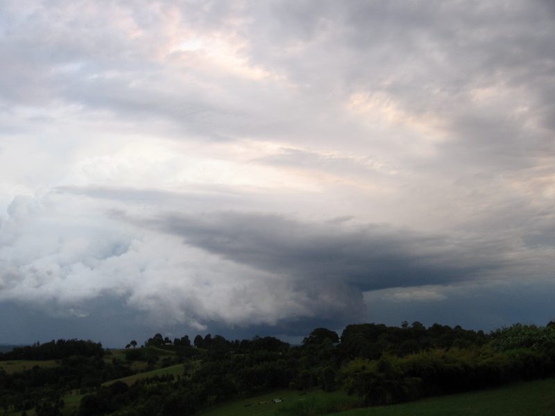
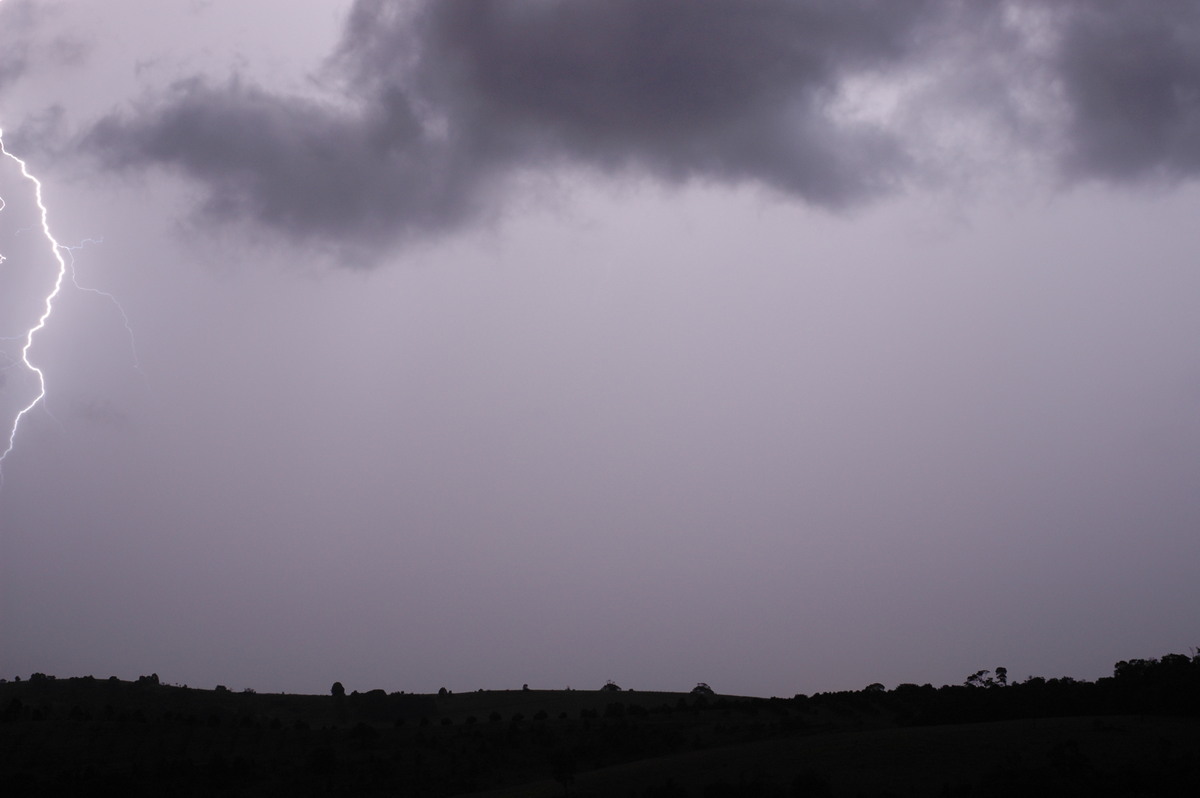
Two more storms gave us a show of lightning, though it was difficult to capture as they both hit out location with rain. The fifth storm of the day - also heading SE- was quite strong on radar and had a large shelf cloud. The sixth and last storm of the day in our local region headed pretty much towards the ESE and gave some hail at Wollongbar about 7pm.
1km VIS from Naval Pacific Meteorology and Oceanography Center
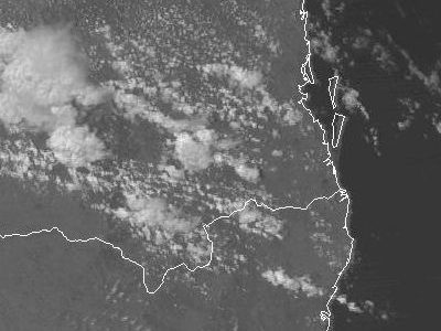
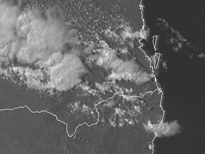
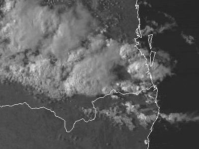
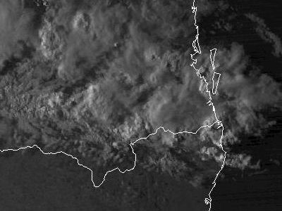 1pm to 5pm local
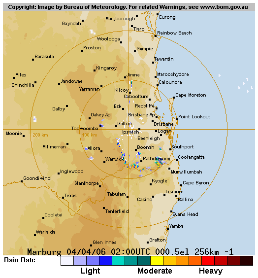
From Bureau of Meteorology
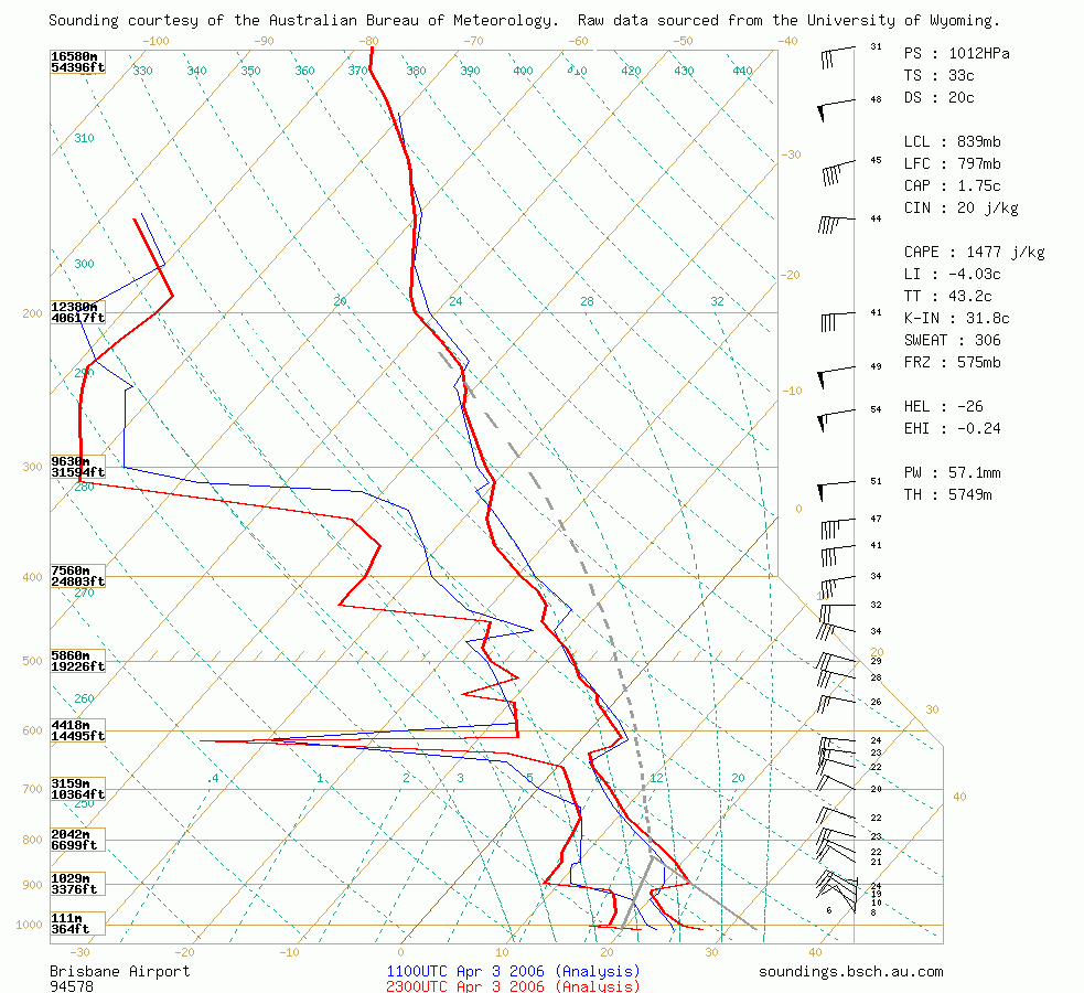 Brisbane sounding at 11am 04/04 local
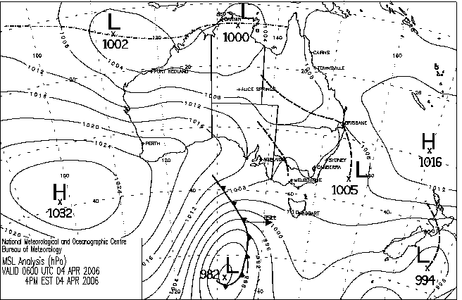
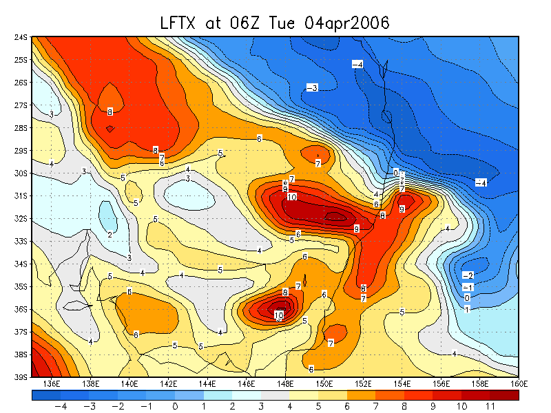
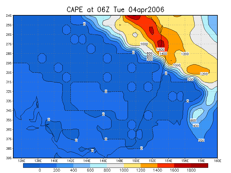
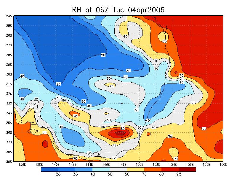
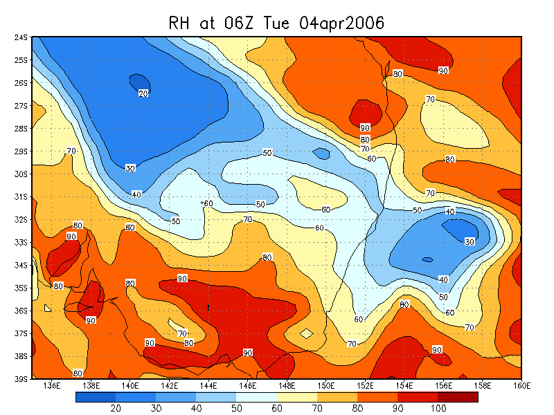
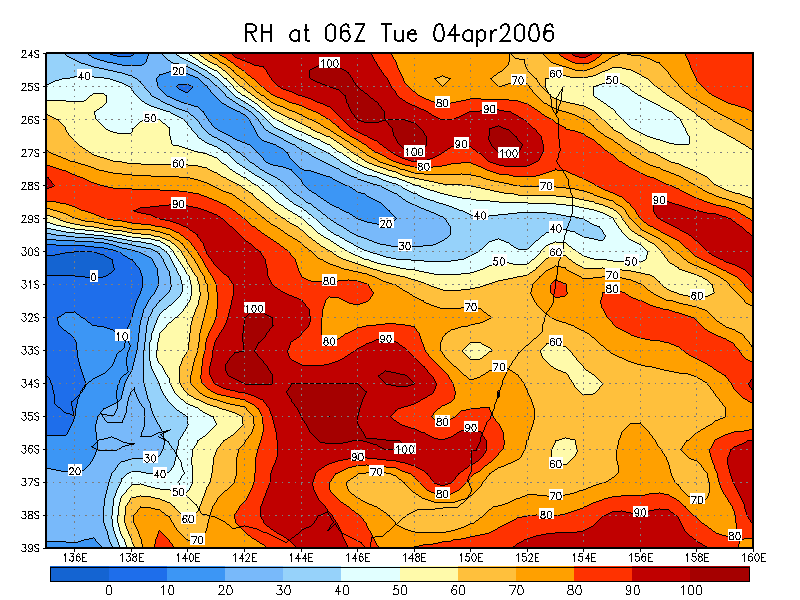
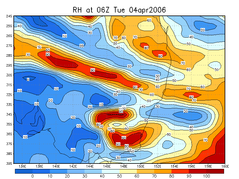
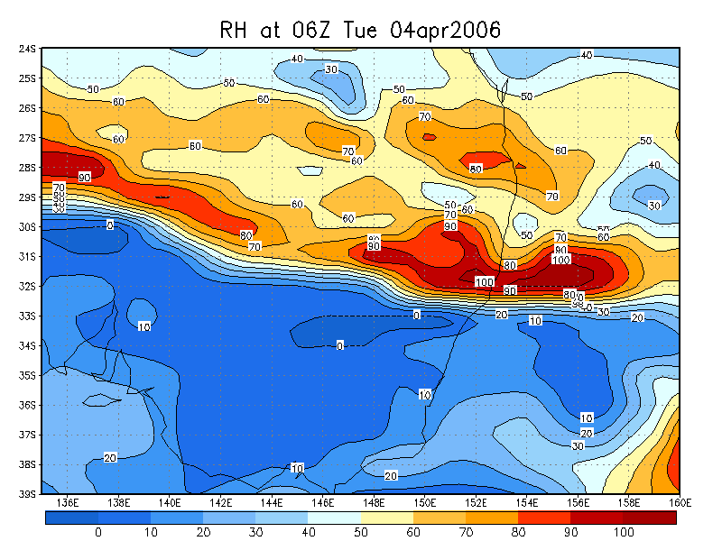
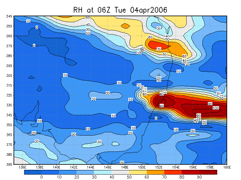
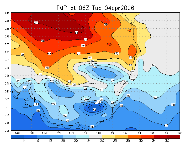
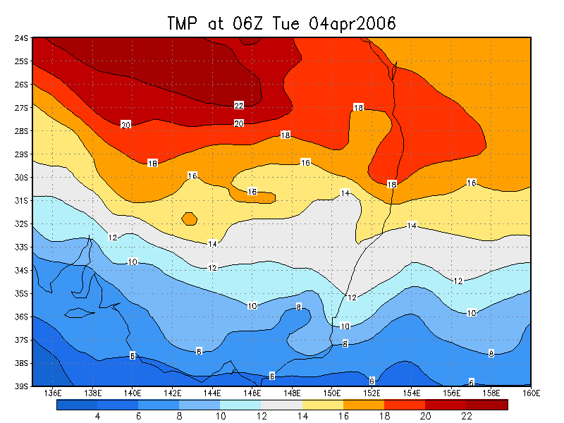
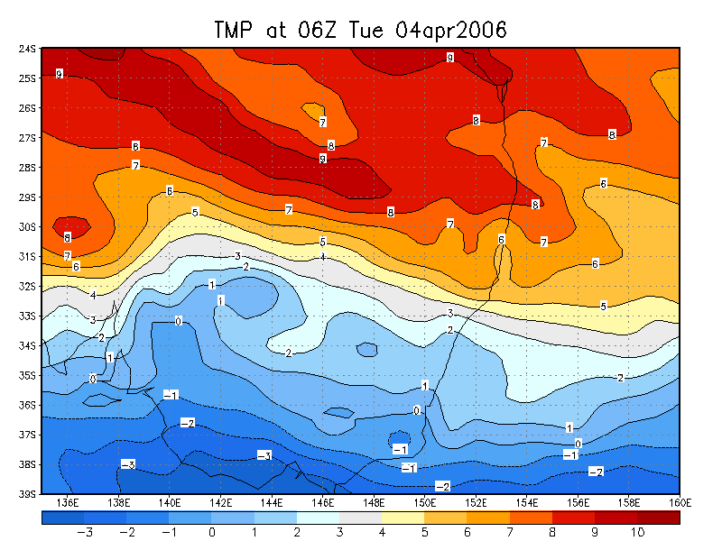
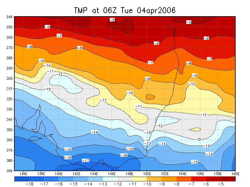
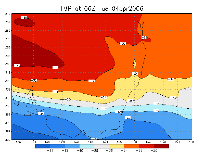
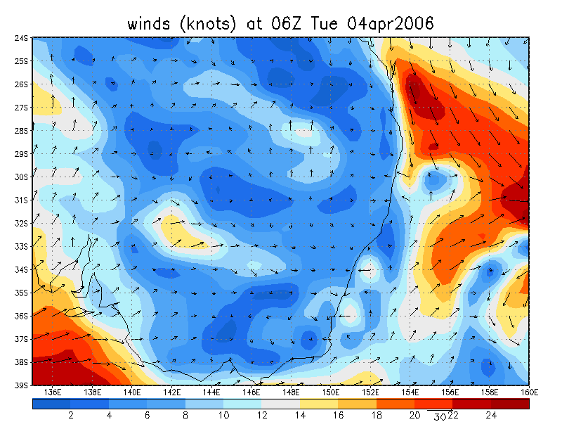
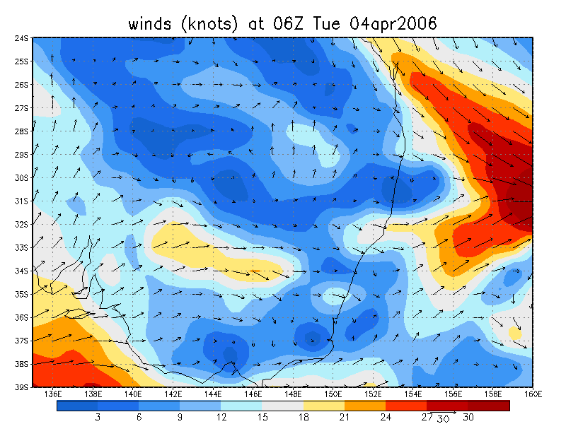
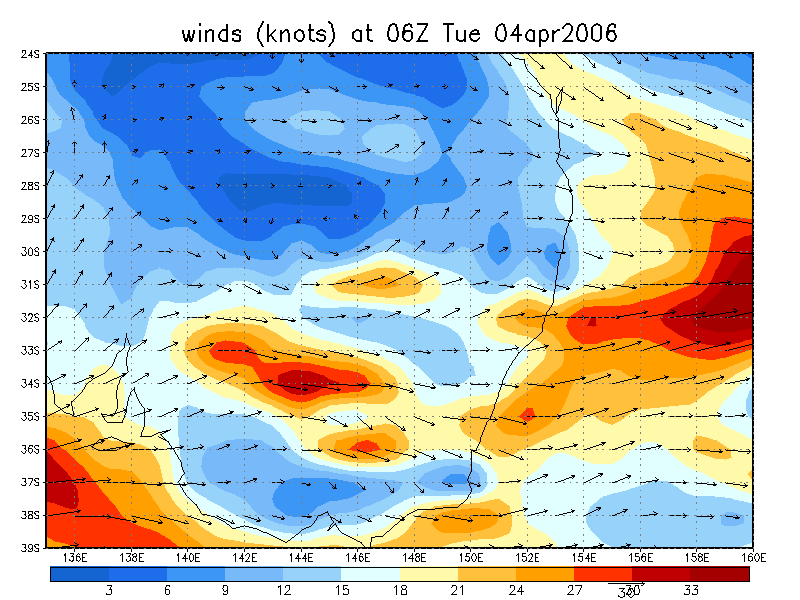
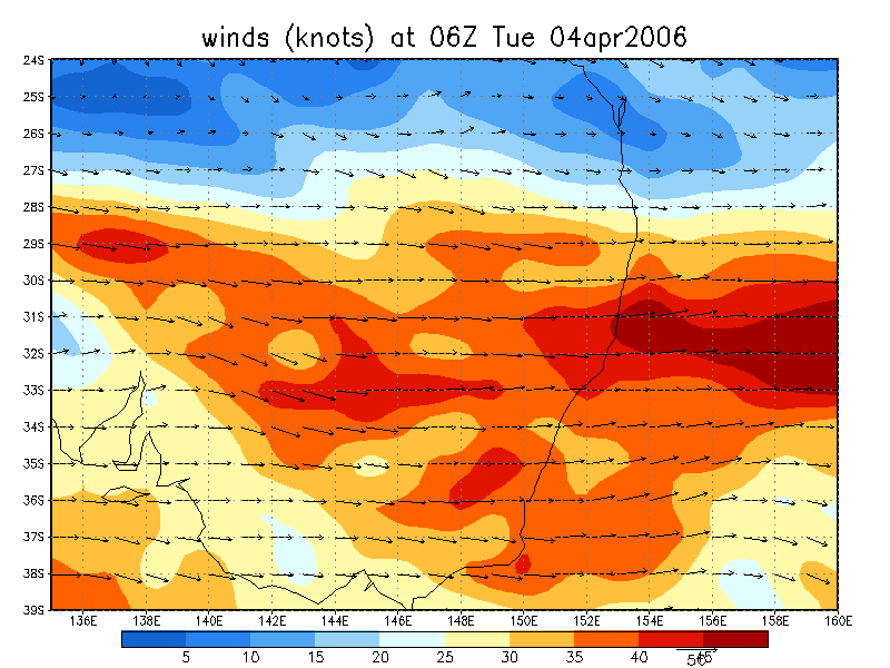
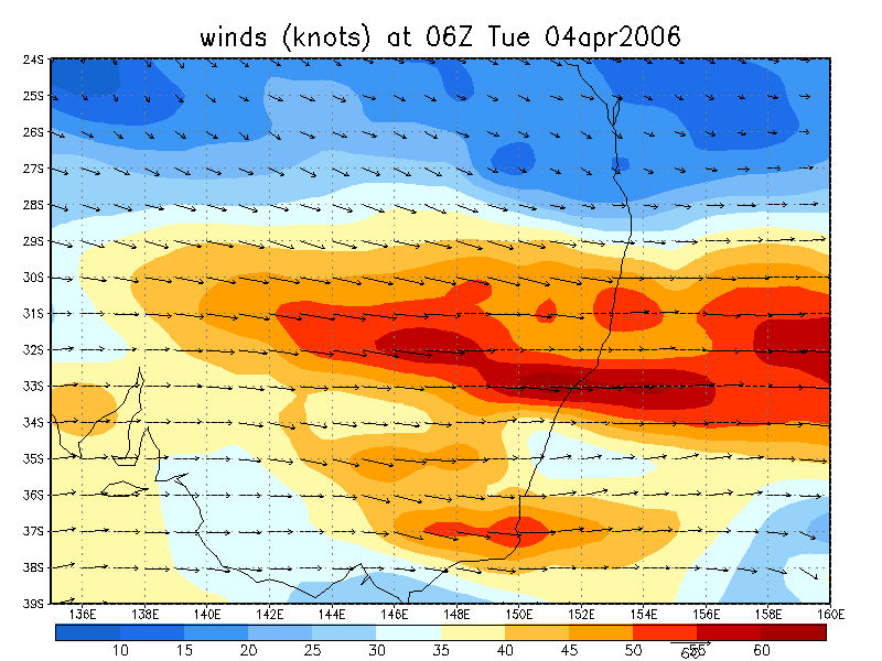
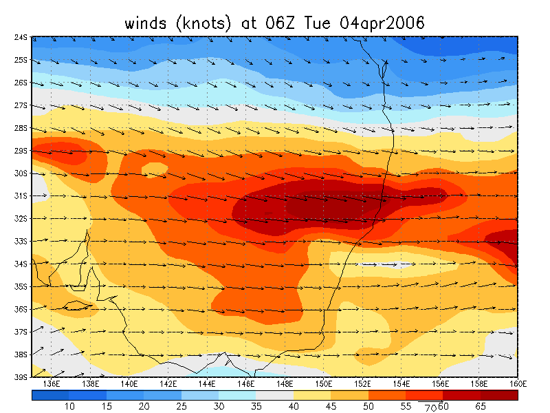
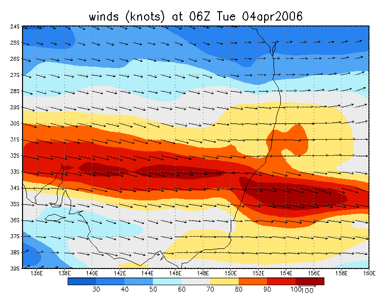
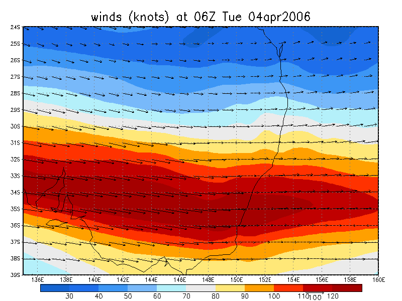
From NOAA 04/04/2006 06z analysis
|
Document: 200604-01.htm Updated: 12th April 2006 |
[Australian Severe Weather index] [Copyright Notice] [Email Contacts] [Search This Site] |