and Chasing
[Index][Archives]
Northern Rivers Storm Outbreak Part 1: Thursday 22nd to Saturday 24th January 2004
by Dave Ellem
| Storm News and Chasing [Index][Archives] |
Northern Rivers Storm Outbreak Part 1: Thursday 22nd to Saturday 24th January 2004 by Dave Ellem |
It was just heavy rain and some
gusty winds - so we headed back out of it (thanks to the slow moving nature
of the storm) and shot east back to Casino to try and stay ahead of the line
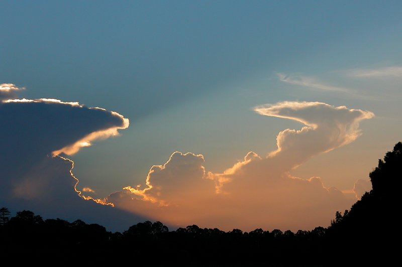
and enjoy what appeared to be a developing gustfront. We stopped near Mummulgum
for some photos before continuing on. There was plenty of powerful CGs hitting
everywhere, which made things that bit more exciting! We continued to Casino,
stopping twice more for photos along the way.
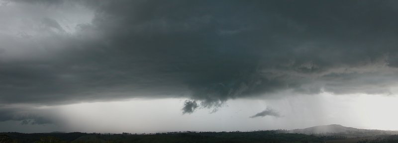
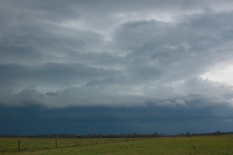
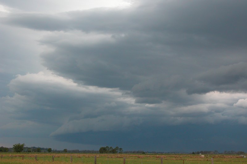
We then headed up the Summerland Way towards Kyogle, and could see a nice
updraft region just ahead of us.
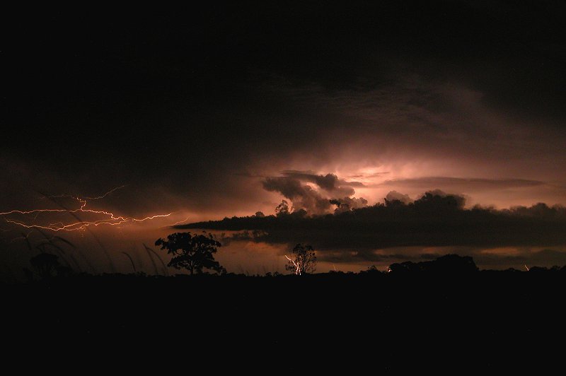
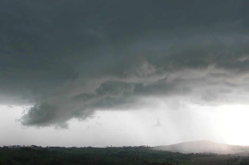
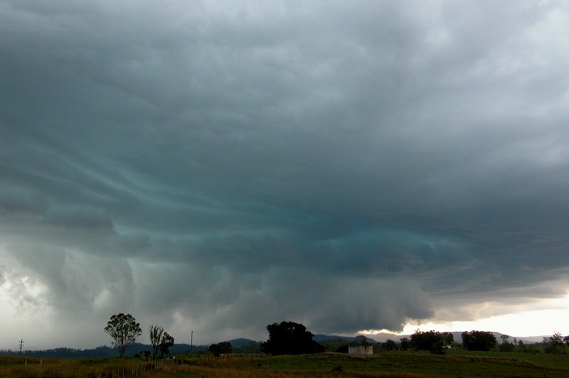
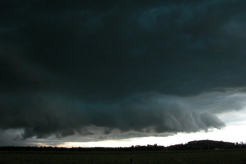
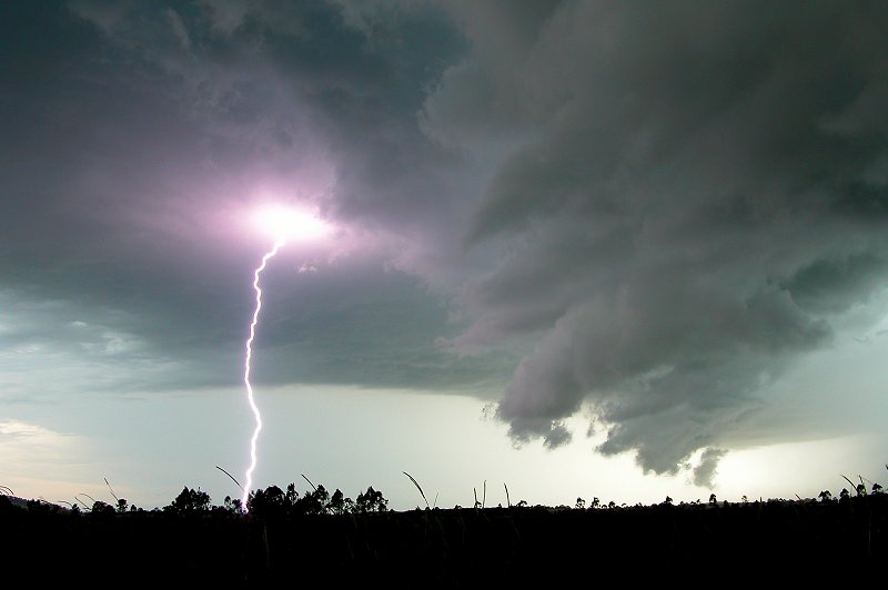
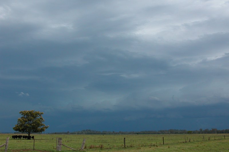
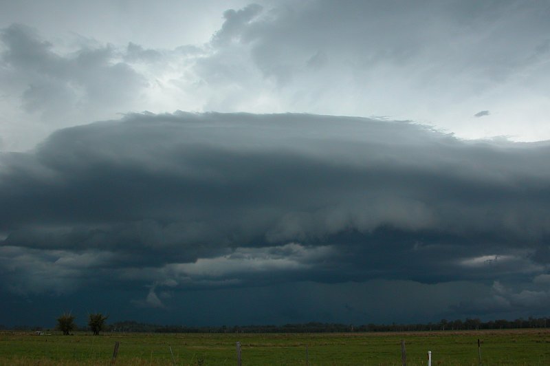
We stopped about 15km N of Casino at around 6.10pm to get photos and wait
out the storm. The gust front was quite mean looking in one spot. But the
real nasty feature of the storm was the frequent pulsating CGs striking ahead
of the guster in what appeared to be an updraft region ahead of the storm.
They pulsated that much that I managed to catch three CGs with my still camera!
The one displayed below shows the best of the three bolts captured!
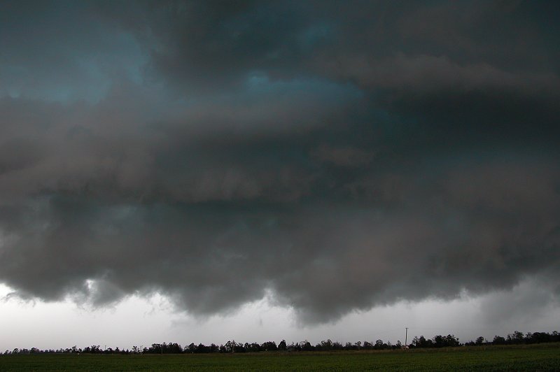
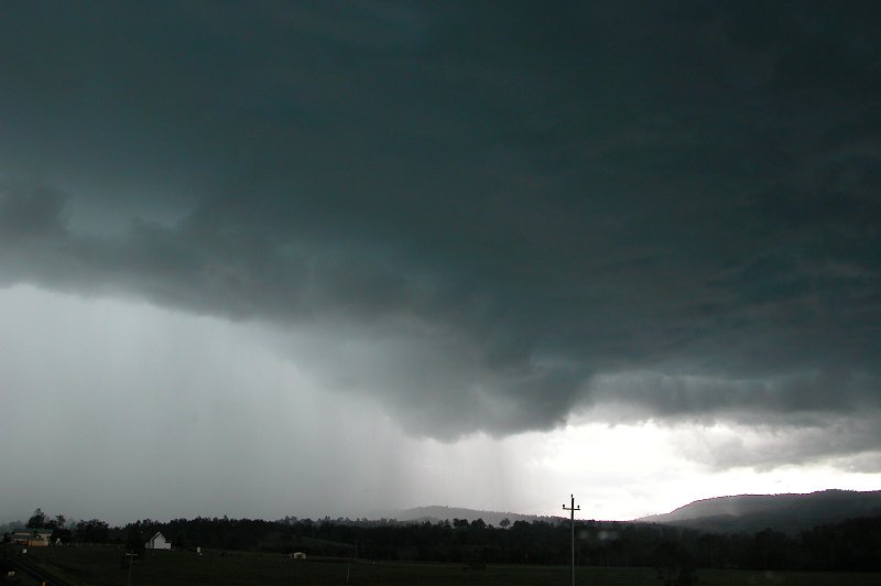
We then let the storm pass over the top of us. The precipitation was quite intense
- very heavy rain obscured the road as we decided to head back to Casino in the
heavy rain. There were some strong wind gusts, but not severe, and plenty of lightning
activity! As we were driving we heard that familiar exciting sound....with excited
faces we confirmed it was hail as more 'ding' sounds were heard on the roof! Hailstones
were probably between 1cm and 2cm, and there wasn't a great amount of it. But
it was good enough for us! We soon passed out of the storm and enjoyed some storm
back end structure before grabbing some tea in Casino and heading home.
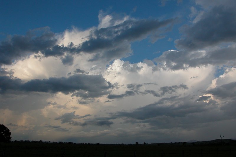
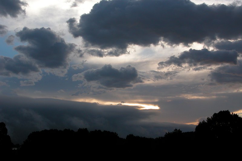
Further lightning active storms formed later that evening, but were mostly
obscured by low cloud.
Saturday 24th of January
How quickly an atmosphere changes! The trough had pushed further east and
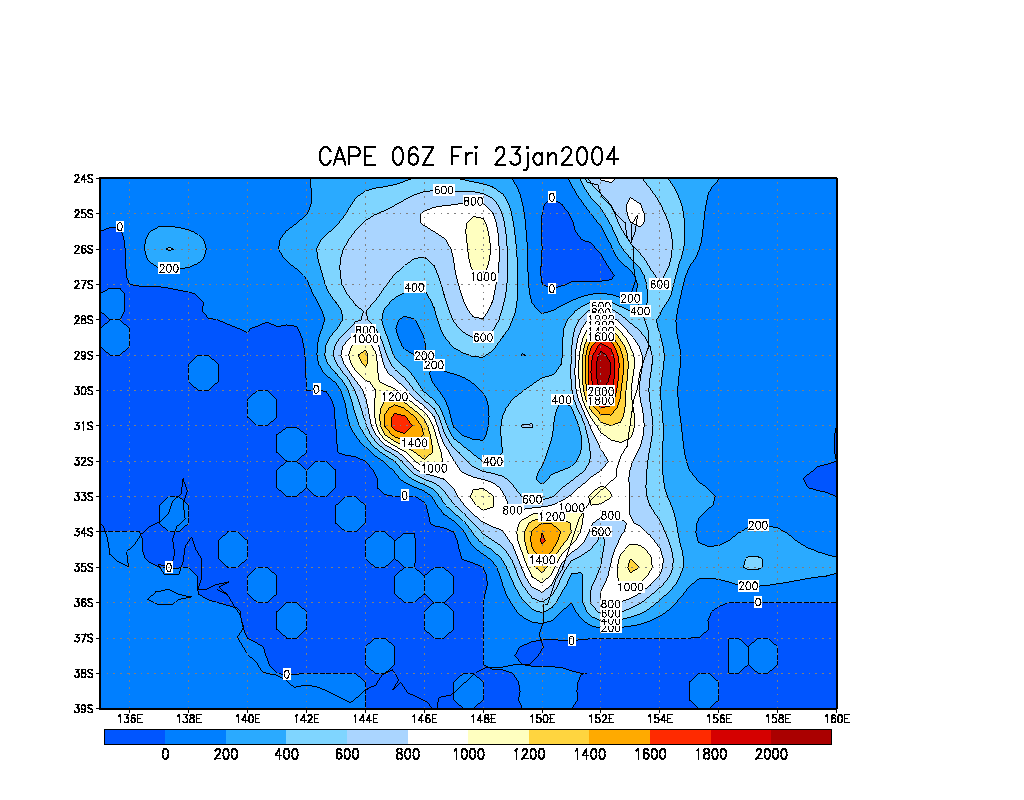
drier air had intruded in the mid and upper levels. The setup looked great
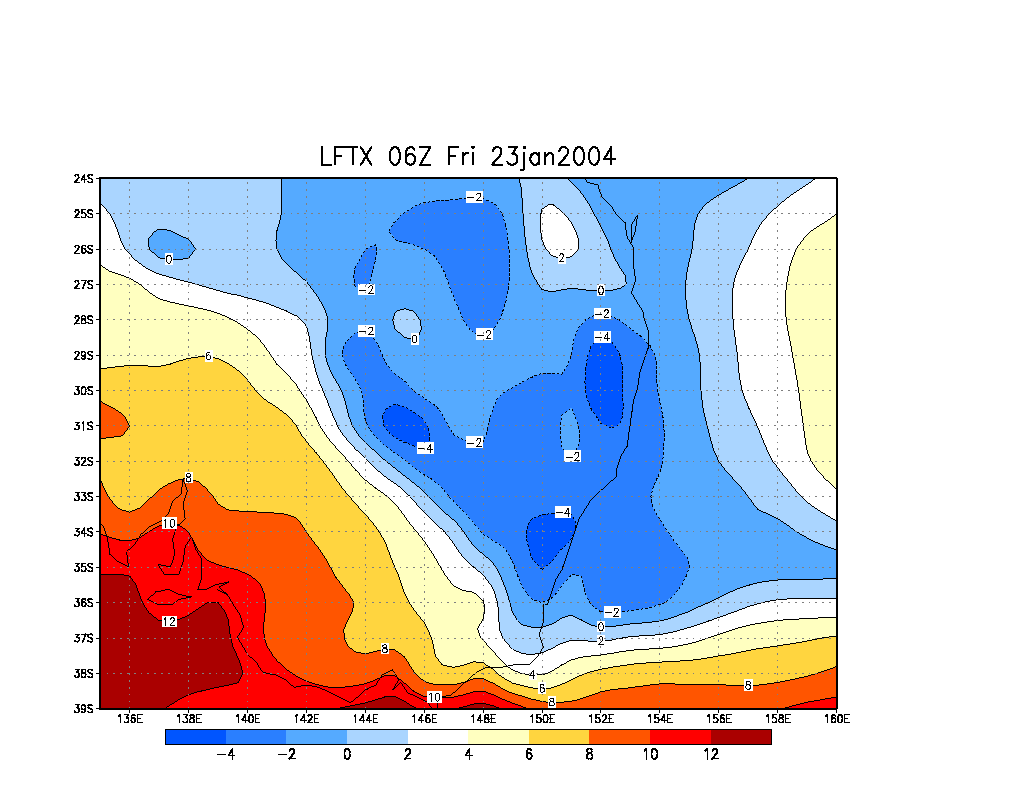
for strong updrafts and hail! Instability indices were less than the previous
day, with LIs around -4 in coastal regions of the Northern Rivers. Overall
the shear profile looked a little better than the day before, but low level
winds were quite weak. Storms once again looked quite likely, with some possibly
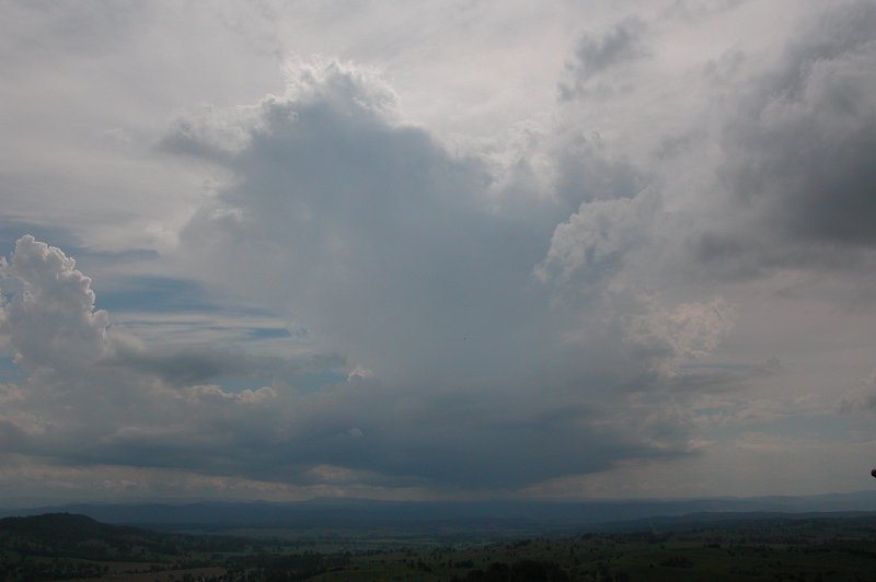
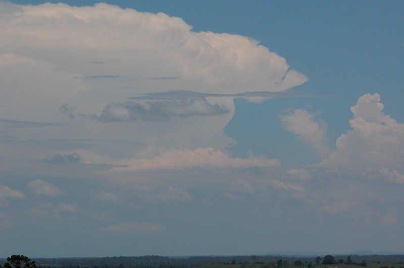
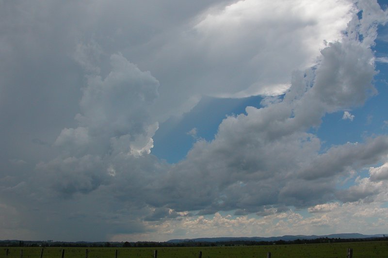
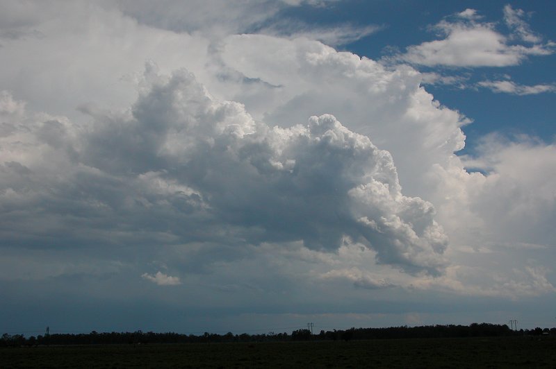
severe. Michael and I headed off around 1pm towards Casino. We stopped at
Parrots Nest to observe activity to the south which had started at around
10am and was looking very nice, as well as a cell that had developed west
of Casino.
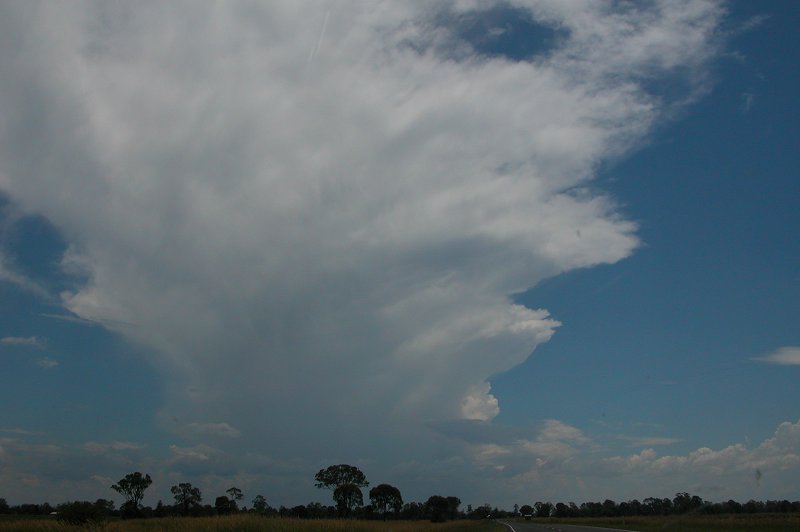
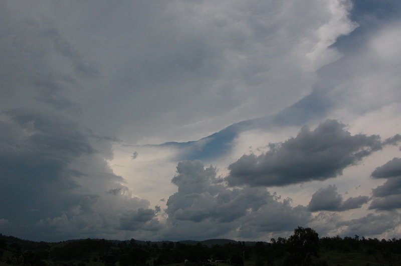
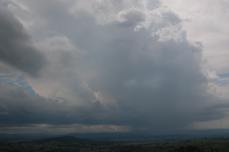
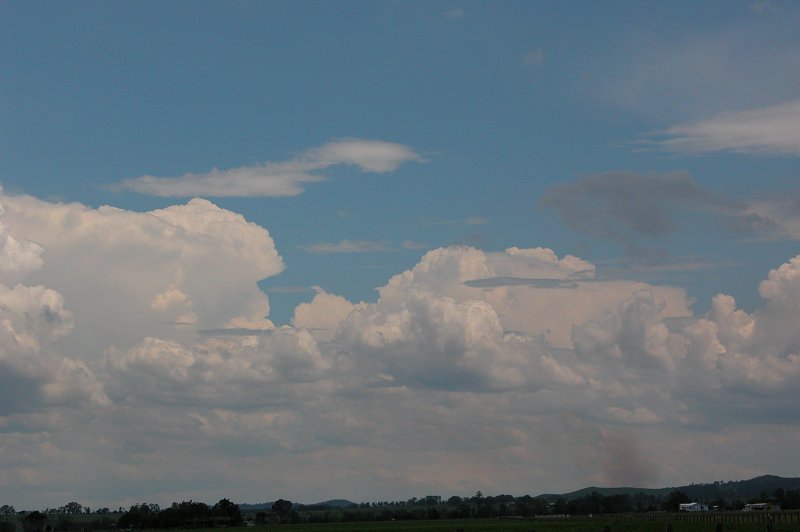
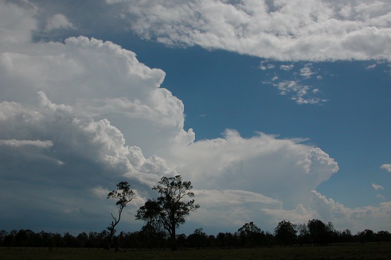
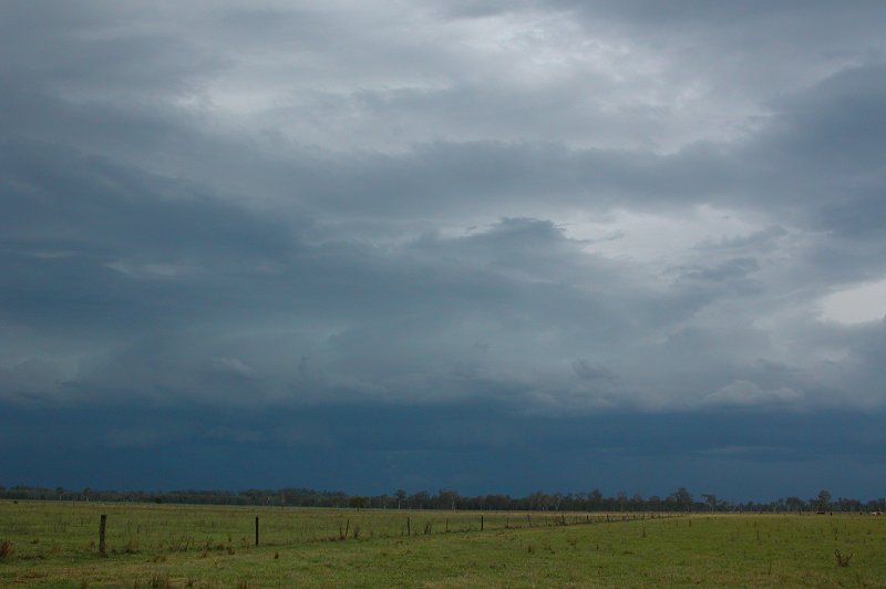
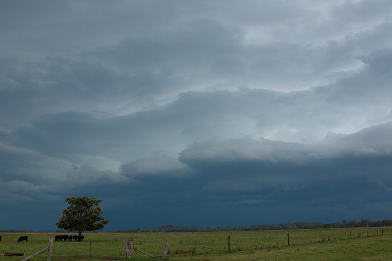
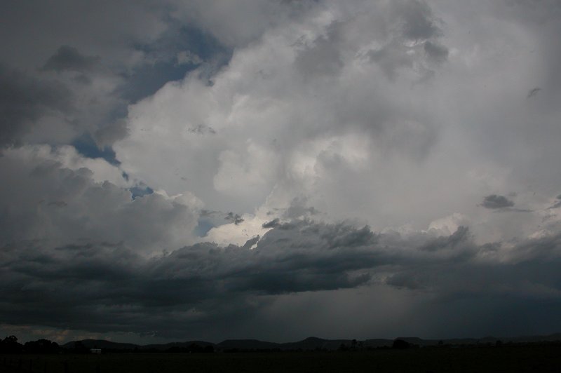
We stopped just a little N of Casino at 2.05pm to watch the activity for a
while and decide what to do. The cell to our west had a solid, diverging anvil
and looked quite nice, but was moving very slowly. Rodney Wallbridge was near
Kyogle, observing the cell from a different angle and kept us updated via
radio when new updrafts would go up on the cell. Increasingly stronger looking
convection was also occurring to our S.
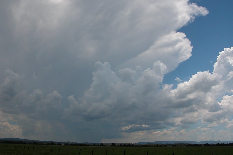
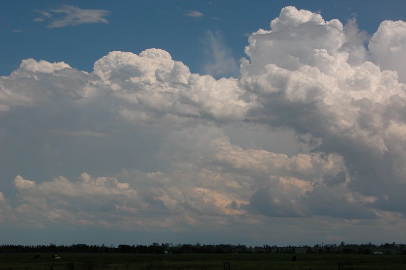
Despite producing a couple of CGs and some regular thunder, the cell to our
west wasn't impressing us much and we were increasingly considering the possibility
of intercepting the strong looking activity to our south that was heading
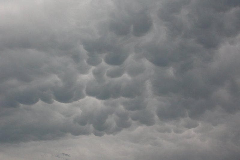
NE towards Coraki. By around 3.00pm the cell to our west looked to be weakening,
with a lot of mammatus and a heavier looking rainshaft. After a radar update
from Ray we made the call to head south, leaving Rodney to observe the cell
to our west from his position near Kyogle.
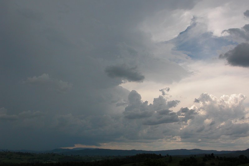
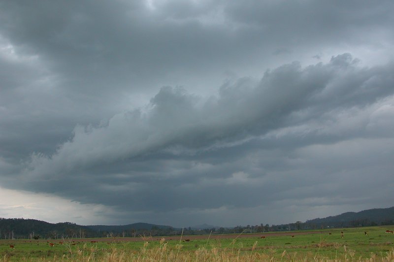
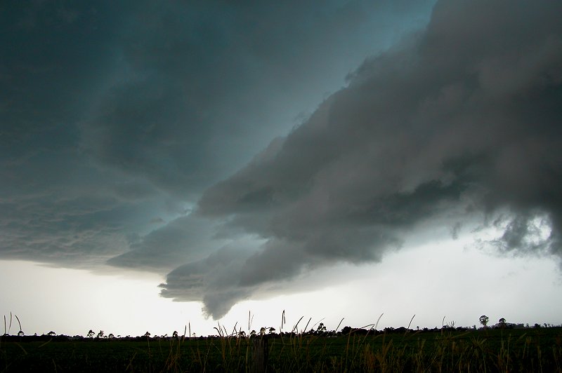
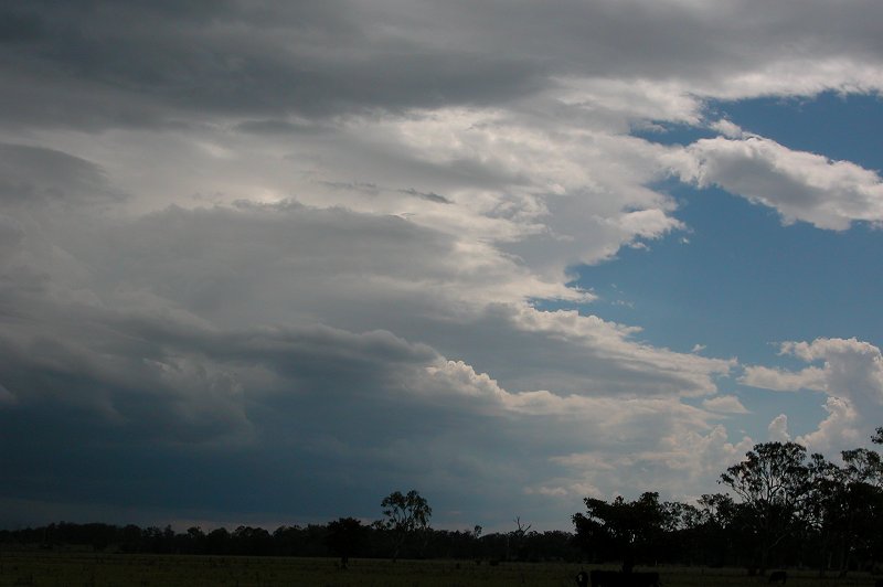
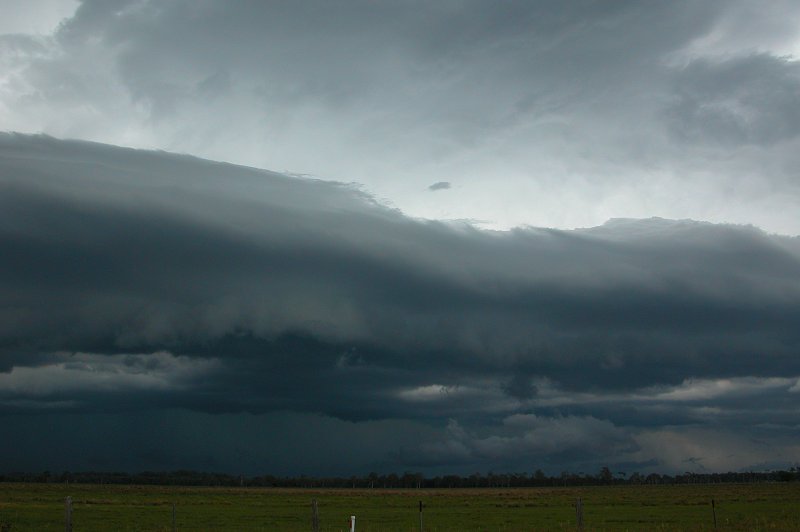
Excitement began to build as we headed for Coraki, with nice strong looking
updrafts developing in a line which extended from the cell to our south. It
appeared as though a nice gustfront was going to appear out of the dark as
we got closer to the storm.
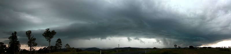
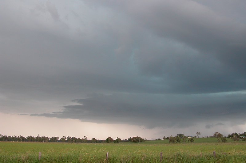
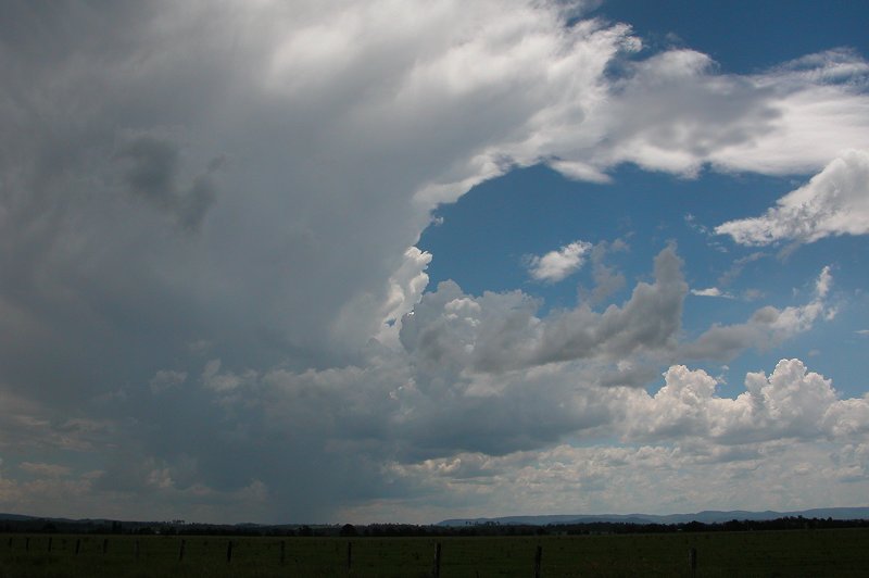
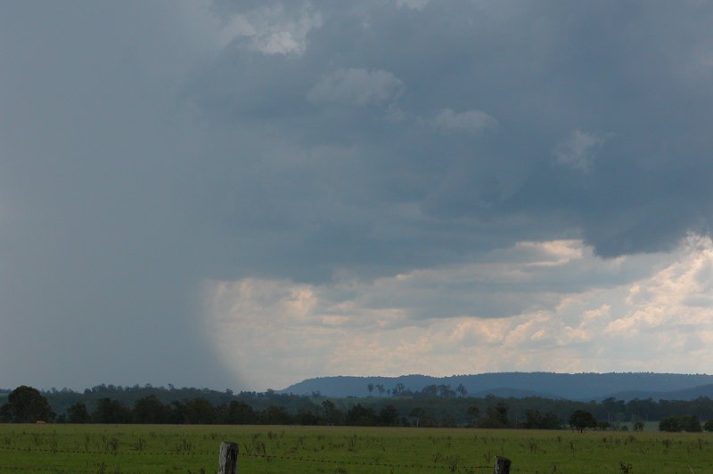
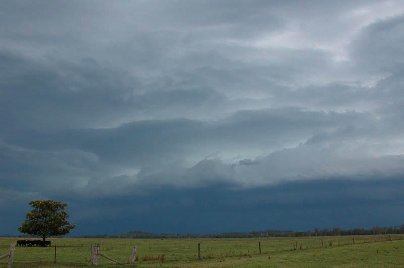
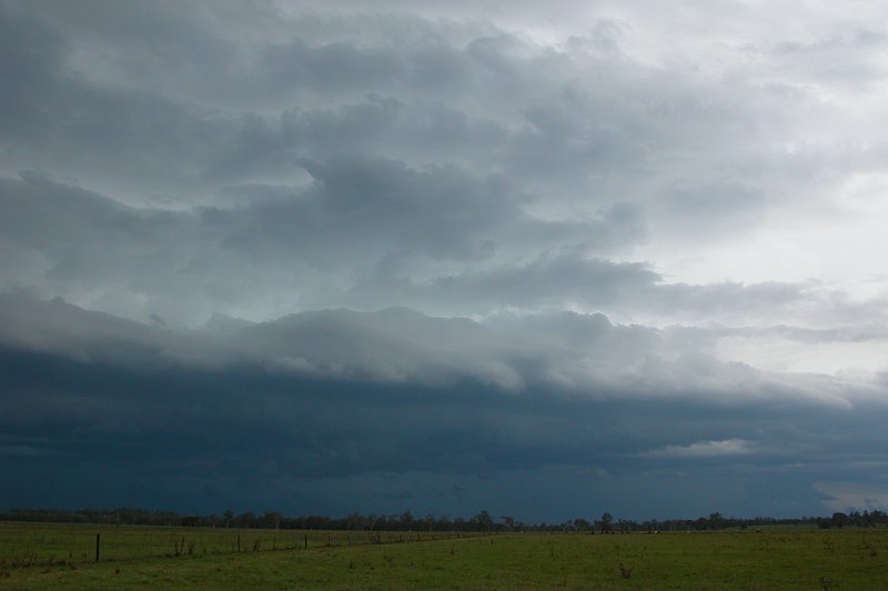
At around 3.40pm we pulled up just N of Coraki to watch the gustfront that
was heading NE towards us. It looked ok, but we had expected something a little
more well defined. The other disappointment was the lack of both lightning
and thunder! We spotted a few CGs and heard a rumble every now and then, but
there wasn't a great deal of electrical activity.
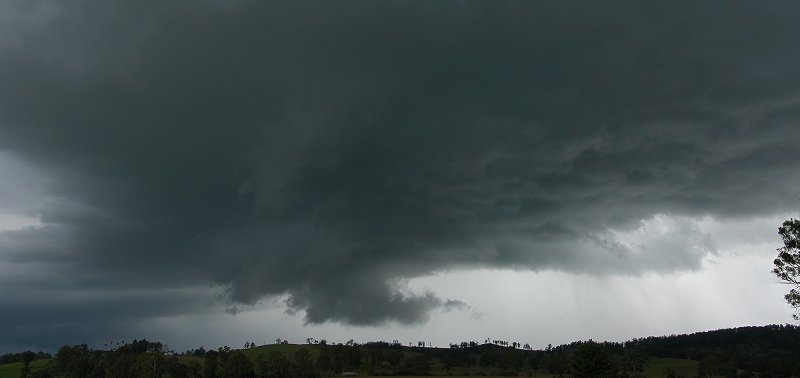
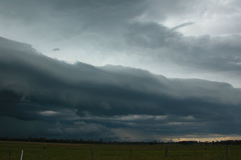
We continued to watch the storm approach slowly from our position, with the
line now extending further inland.
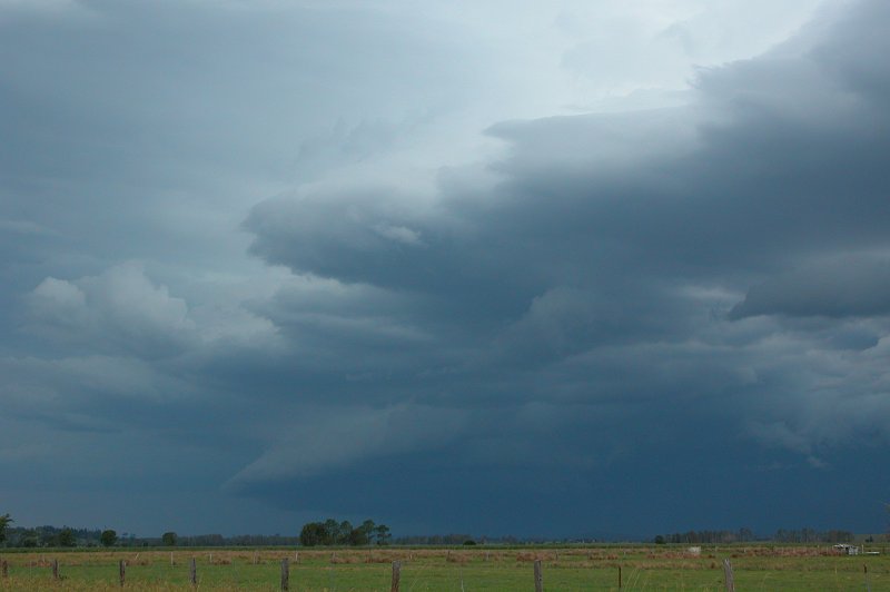
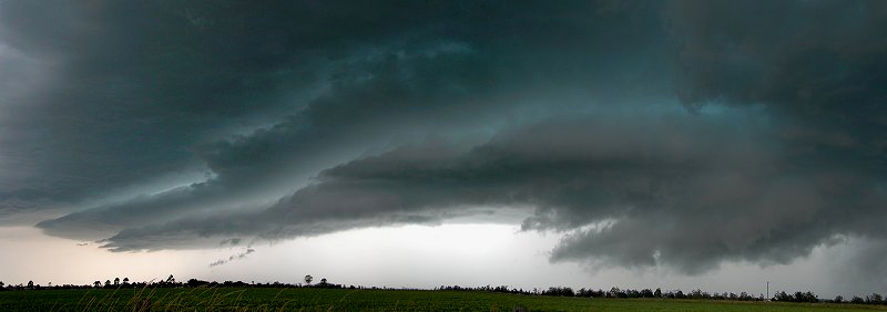
We shot south about 500m to get a bit closer to a slightly more defined looking
section of the gustfront. It was now looking a little more impressive and
quite dark, but the gustfront was pushing well ahead of the rain curtain.
Very strong outflow was also experienced. It appeared the storm was weakening.
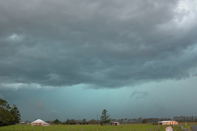
So we headed south through Coraki to move into the precipitation area.
The green tinge in the storm was quite incredible as we got closer, as was
the outflow winds which would have been past the 70km/hr mark. We stopped
to get a photo of the green tinge, but it was hard to hold the camera still
in the wind. It was now 4.05pm. A radar update from Anthony Cornelius revealed
that the cell had a solid area of yellow/green/pink, so we were expecting
some heavy rain!
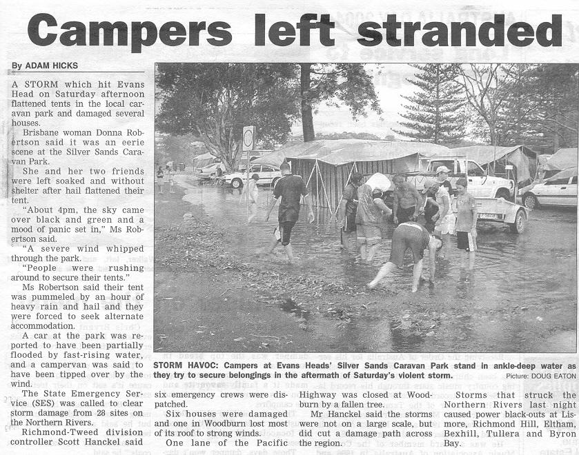
We finally got into the storm just N of Woodburn! We copped torrential rain
and strong winds, which were borderline severe at times! The car was being
rocked about in the gusts. The streetlights nearby, which had turned on thanks
to the very dark conditions inside the storm, went out again during the strong
wind gusts. We endured heavy rain and strong winds for between 5 to 10mins
before it eased a little and we headed back towards Casino. Between Coraki
and Casino we got a surprise when we received a brief burst of hail - stones
were probably around 1cm. As we got out of the rain and hail we could now
see the back of the line that had passed over us.
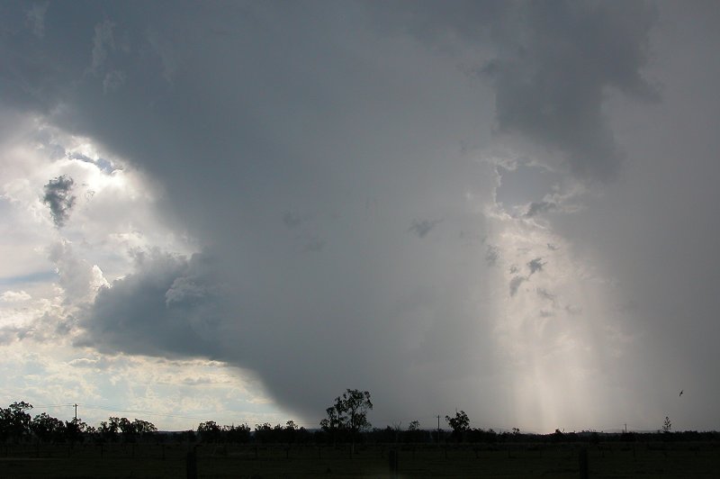
Further convection was occurring west of Casino and Michael spotted a CG,
so off we went to see what this cell would do! Stopped on the western outskirts
of Casino, it appeared as though the cell was splitting, and it wasn't long
before the right mover began to weaken. It was quite photogenic despite the
weak structure.

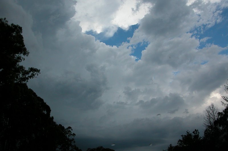
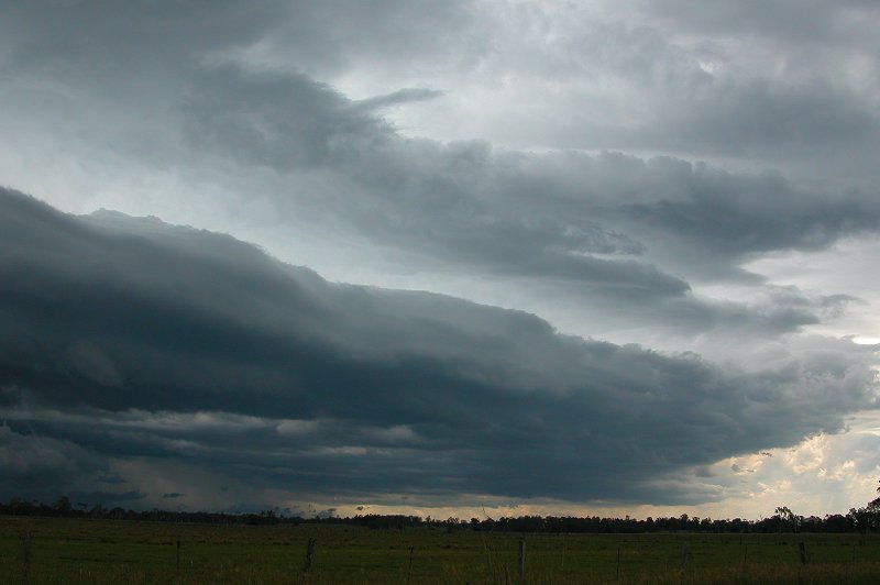
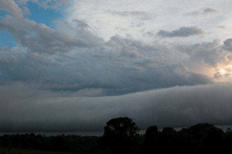
After this we headed home, quite tired after another days chasing. After getting
home I observed a great roll cloud move up from the south. Storms once again
continued into the night, however lightning wasn't all that frequent nearby.
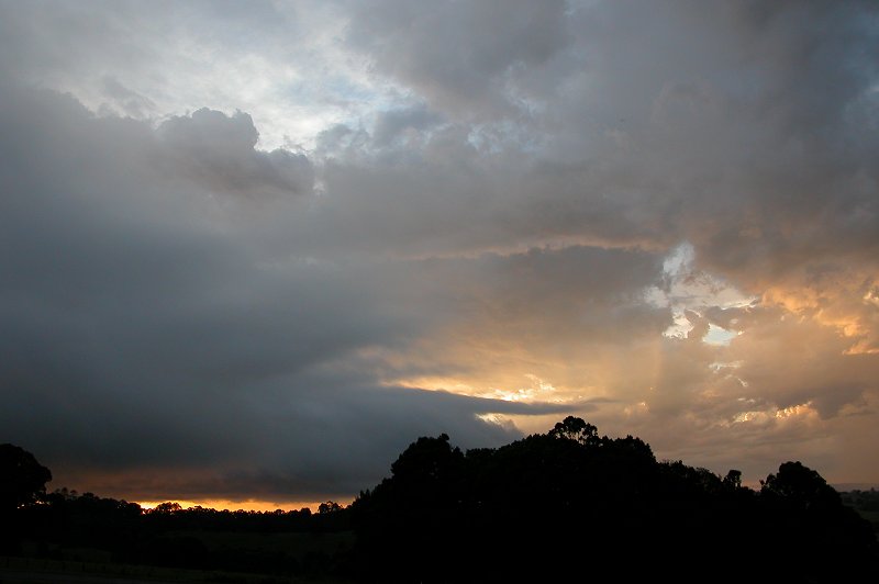
This was only the beginning of the outbreak!
Check
out part 2 of this outbreak for the next three spectacular days of chasing!
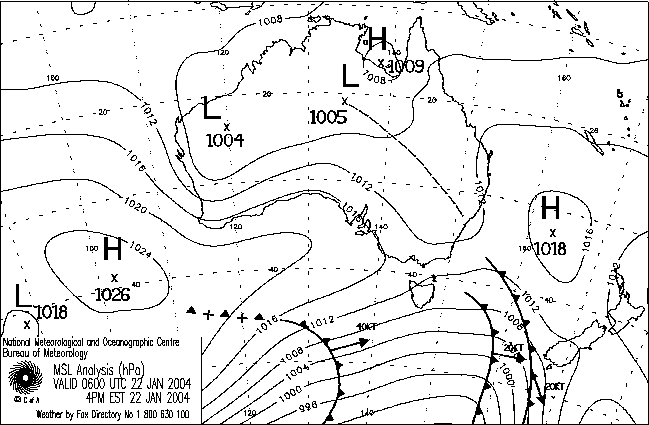
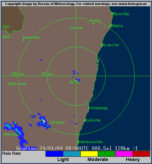
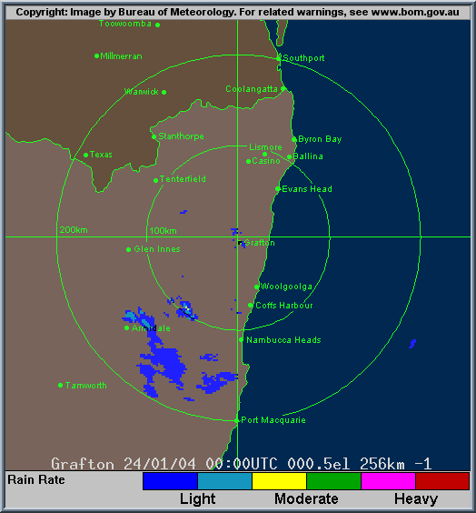
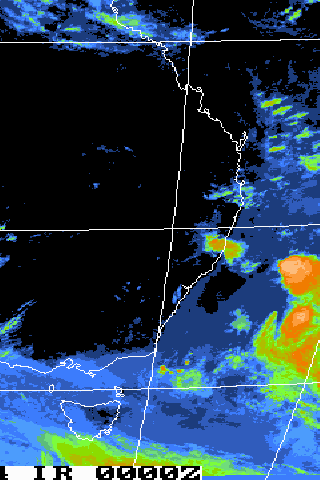
From Bureau of Meteorology.
From Bureau of Meteorology:
00z to 12z animation 22/1/2004
00z to 12z animation 23/1/2004
00z to 12z animation 24/1/2004
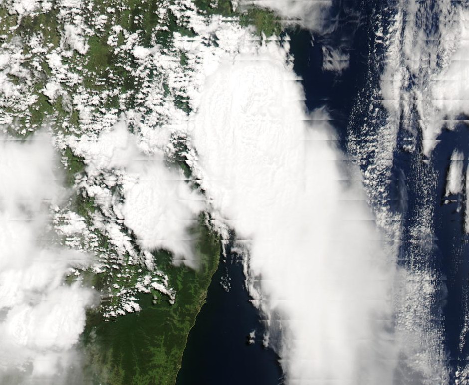
From Bureau
of Meteorology.
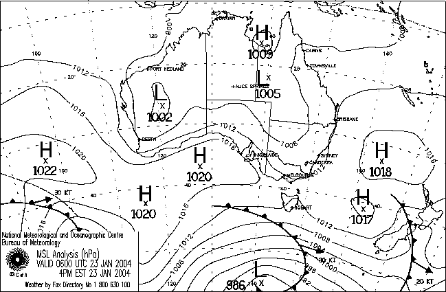
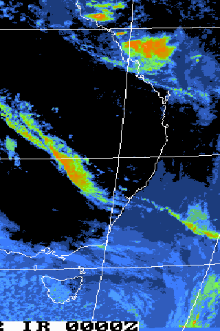
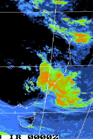
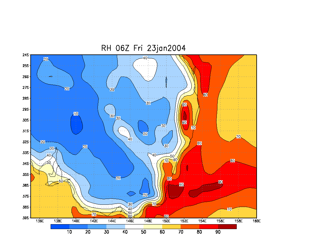
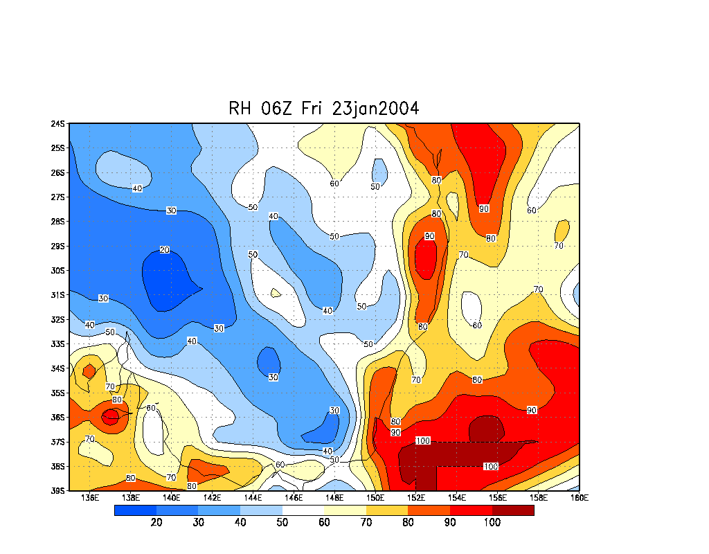
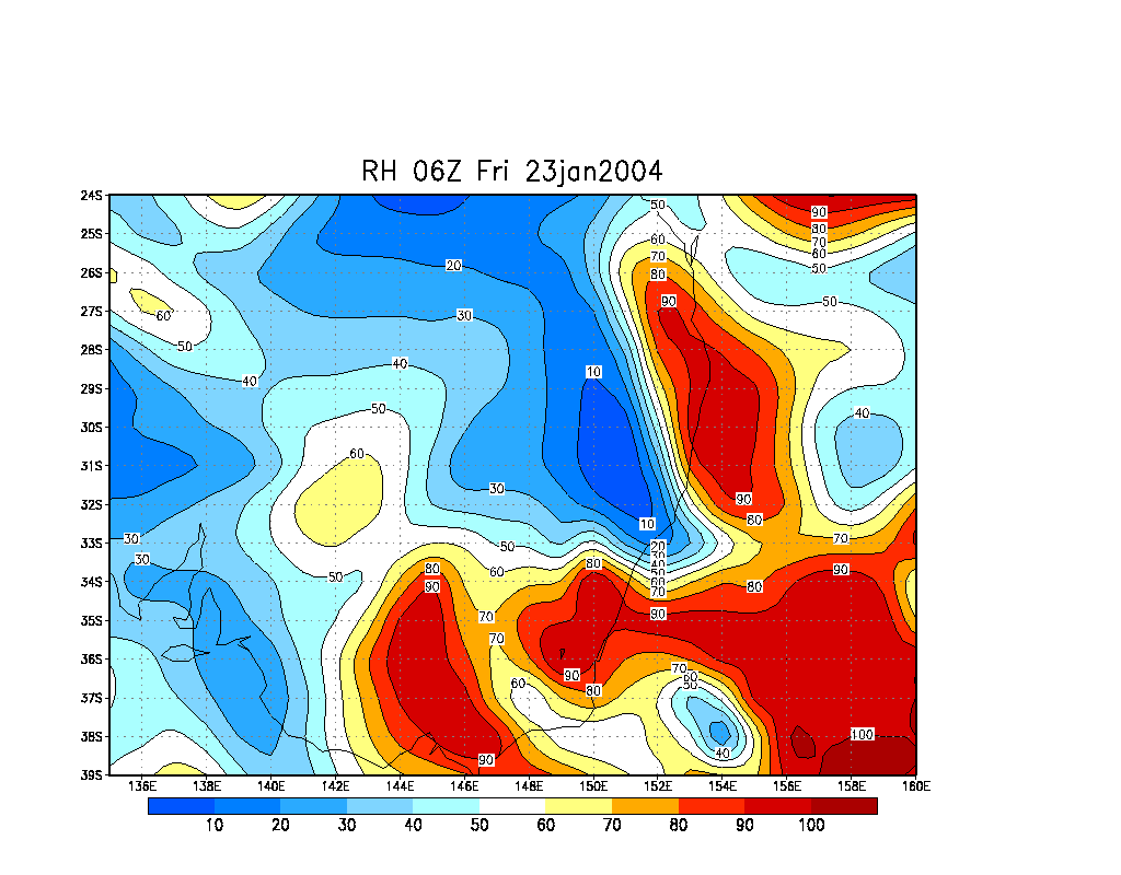
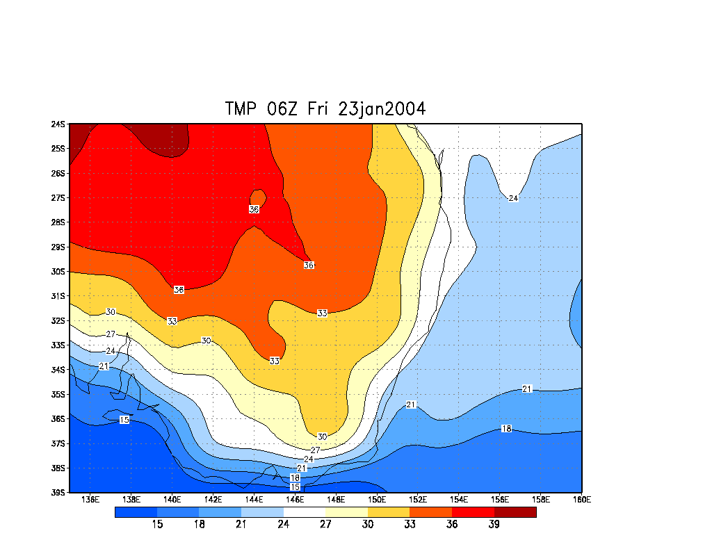
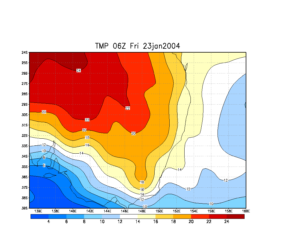
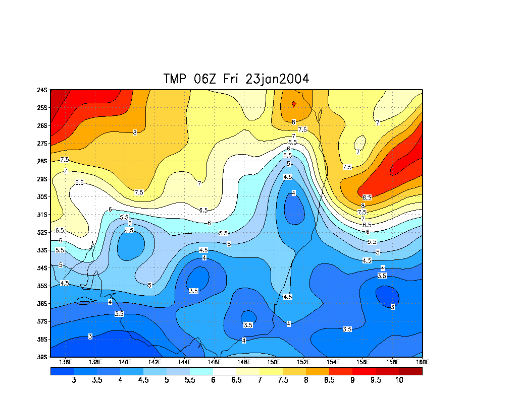
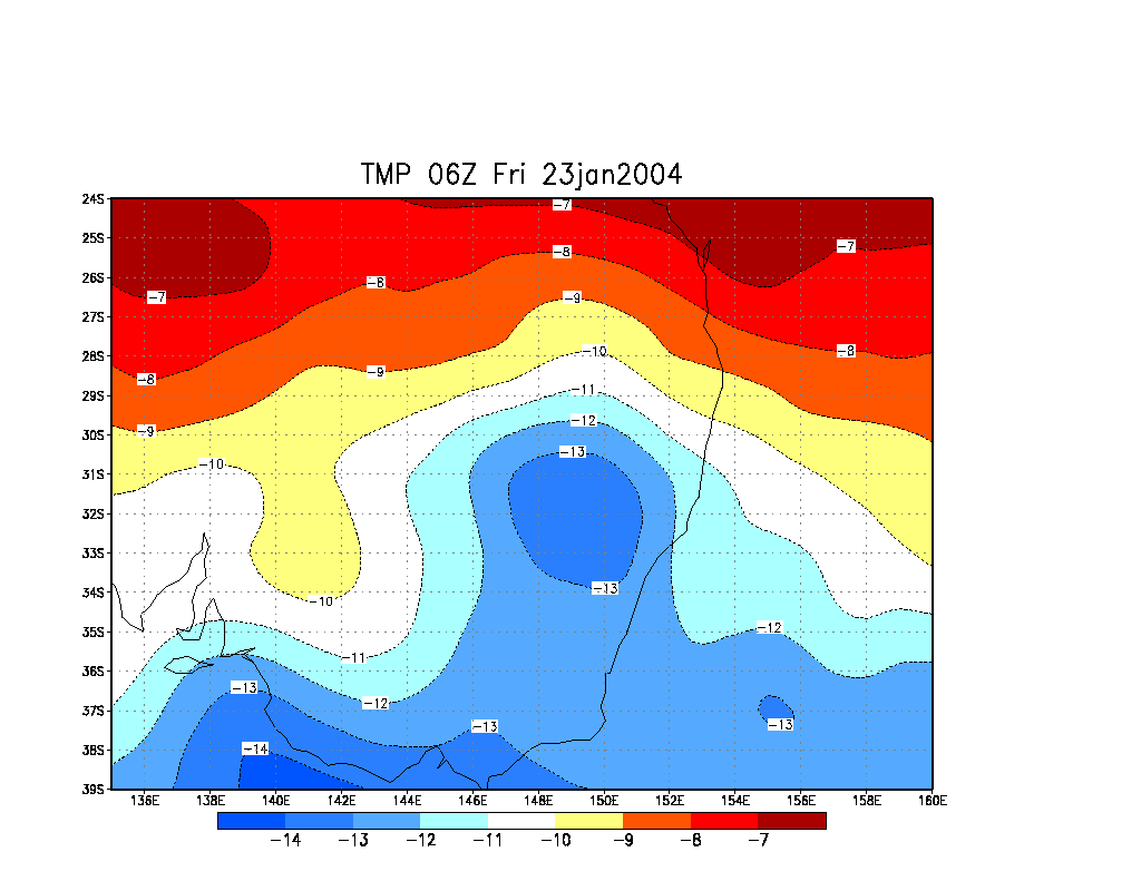
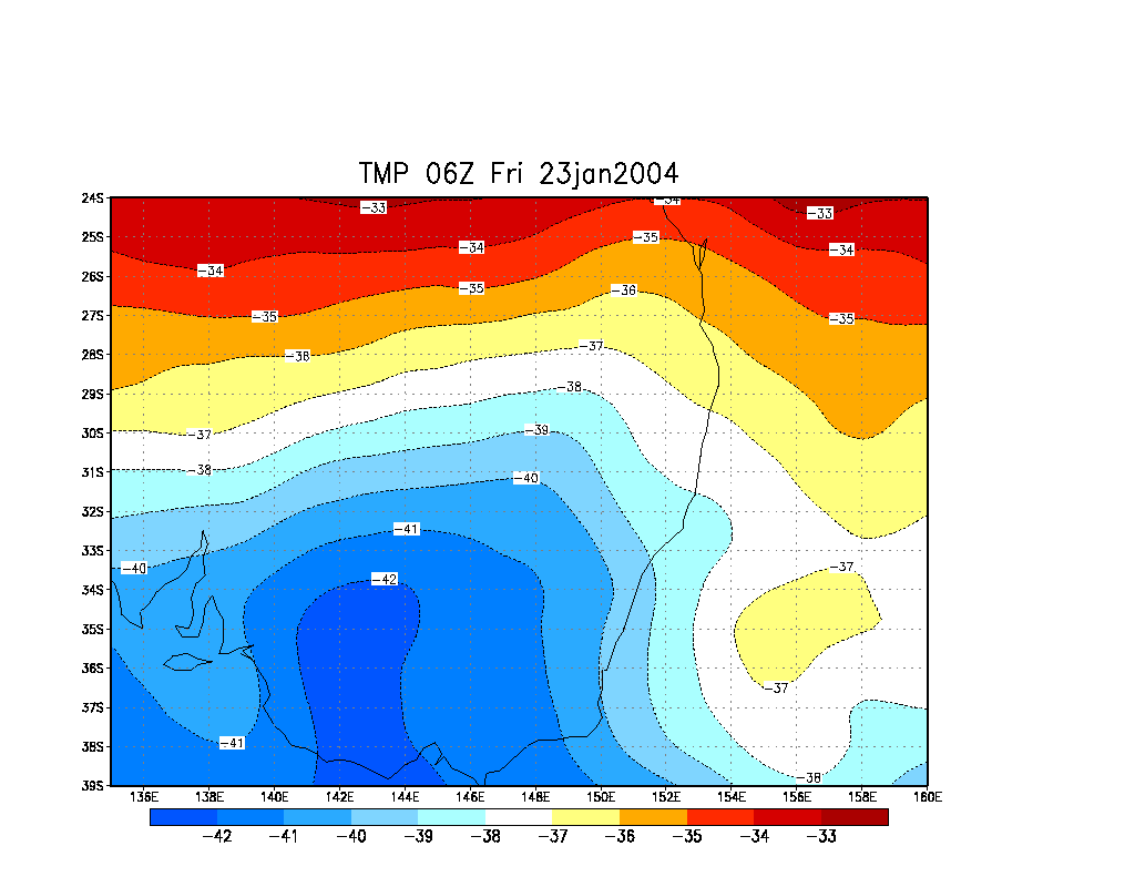
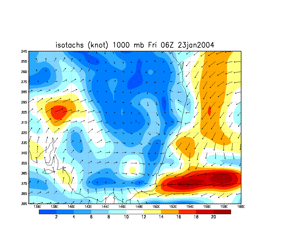
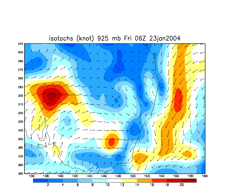
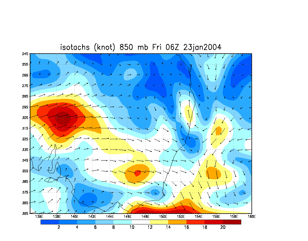
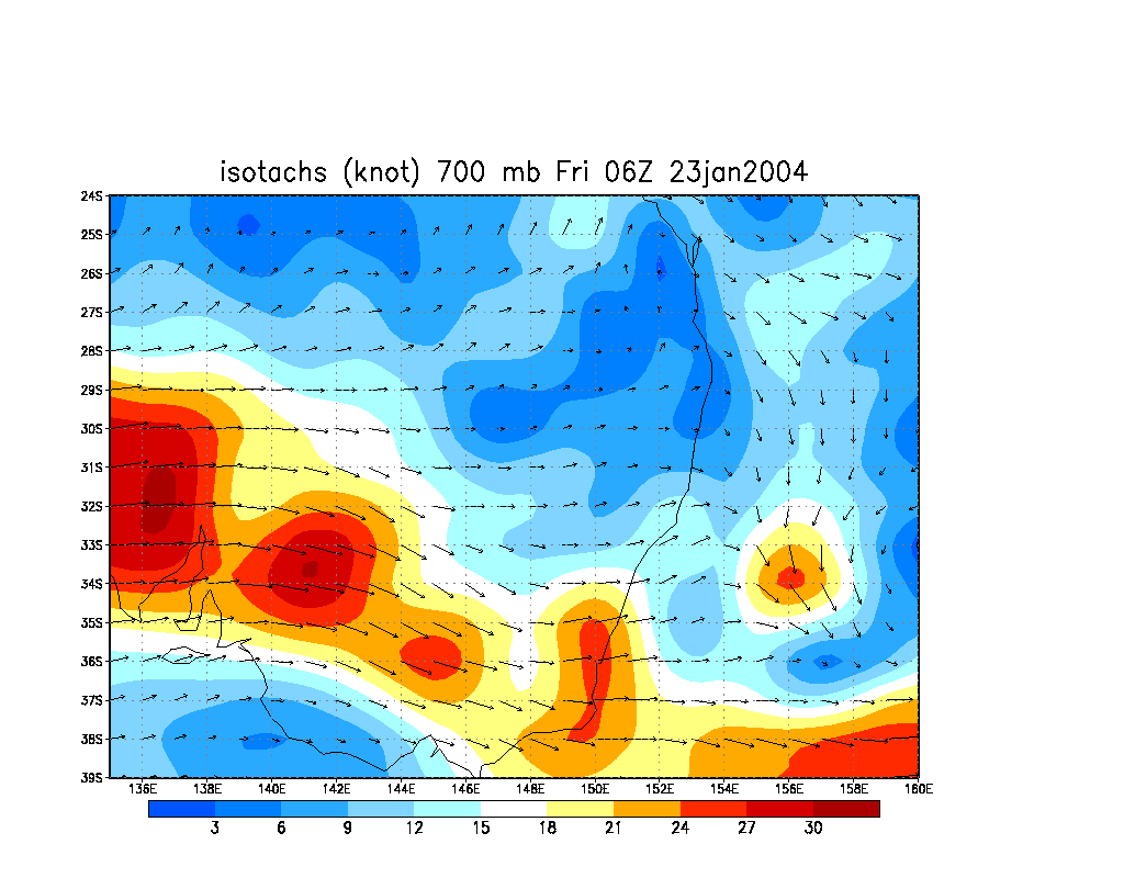
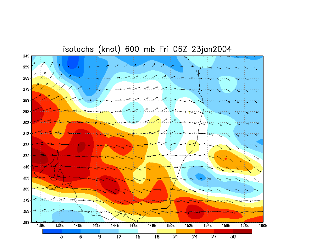
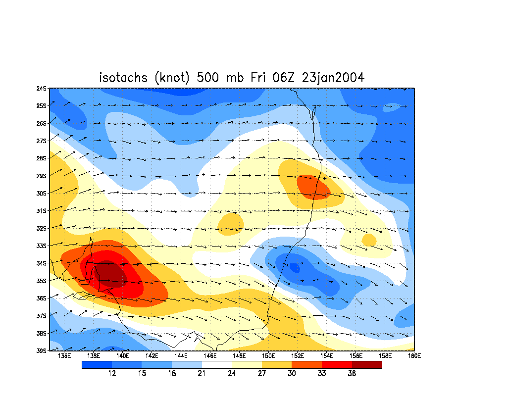
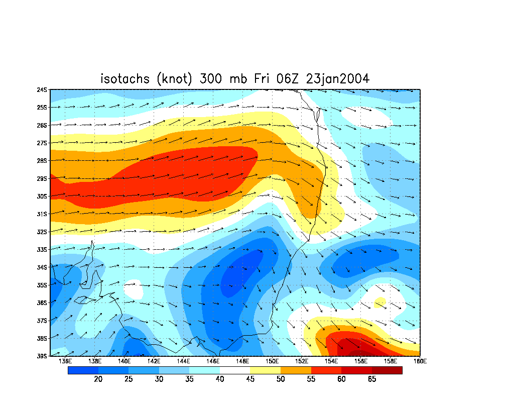
From NOAA 23/01/2004 06z analysis run
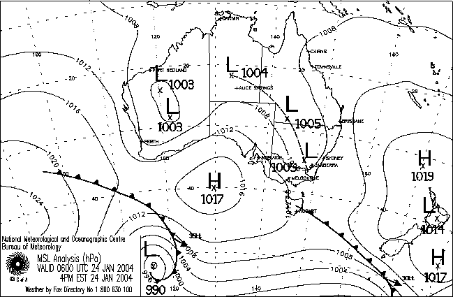
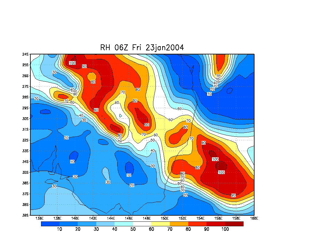
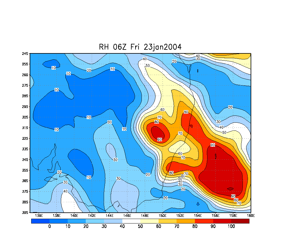
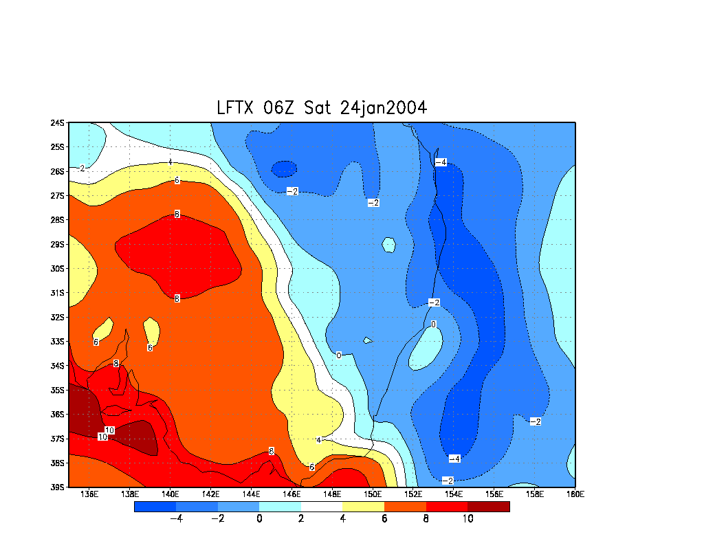
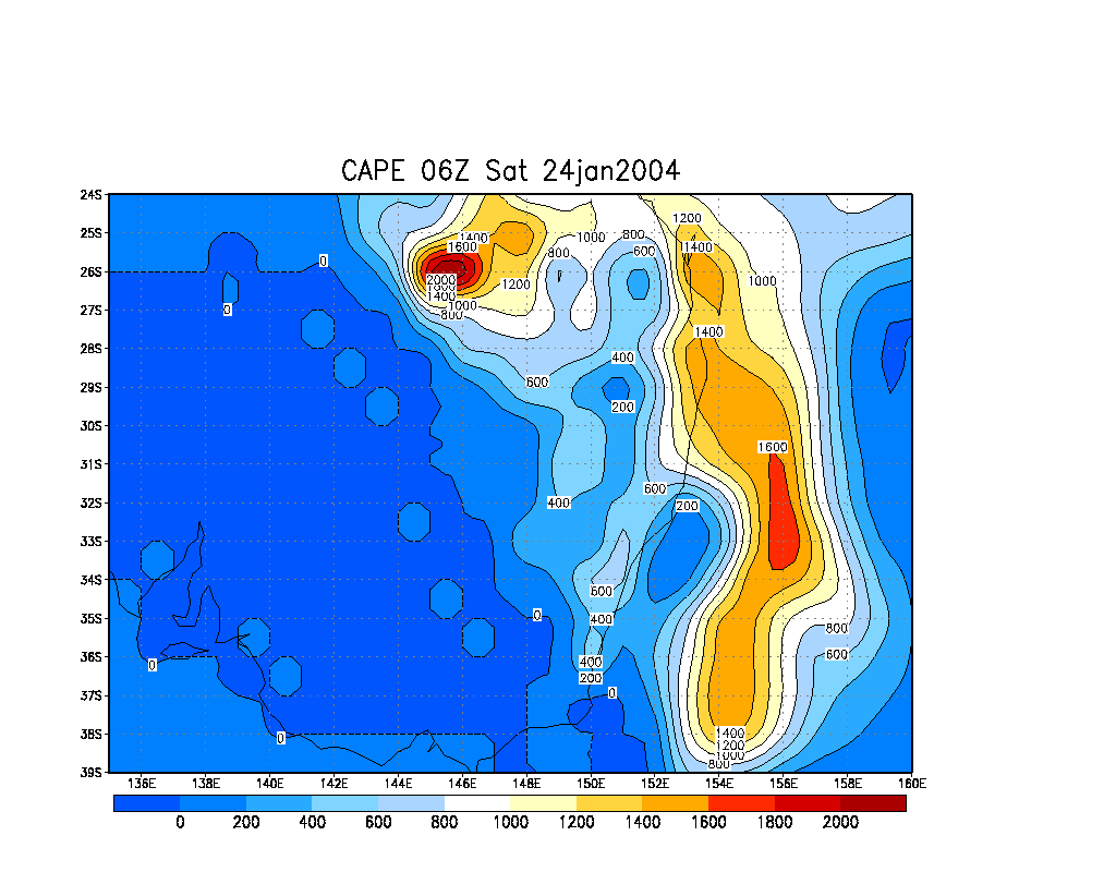
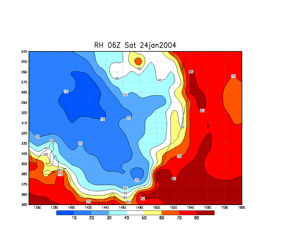
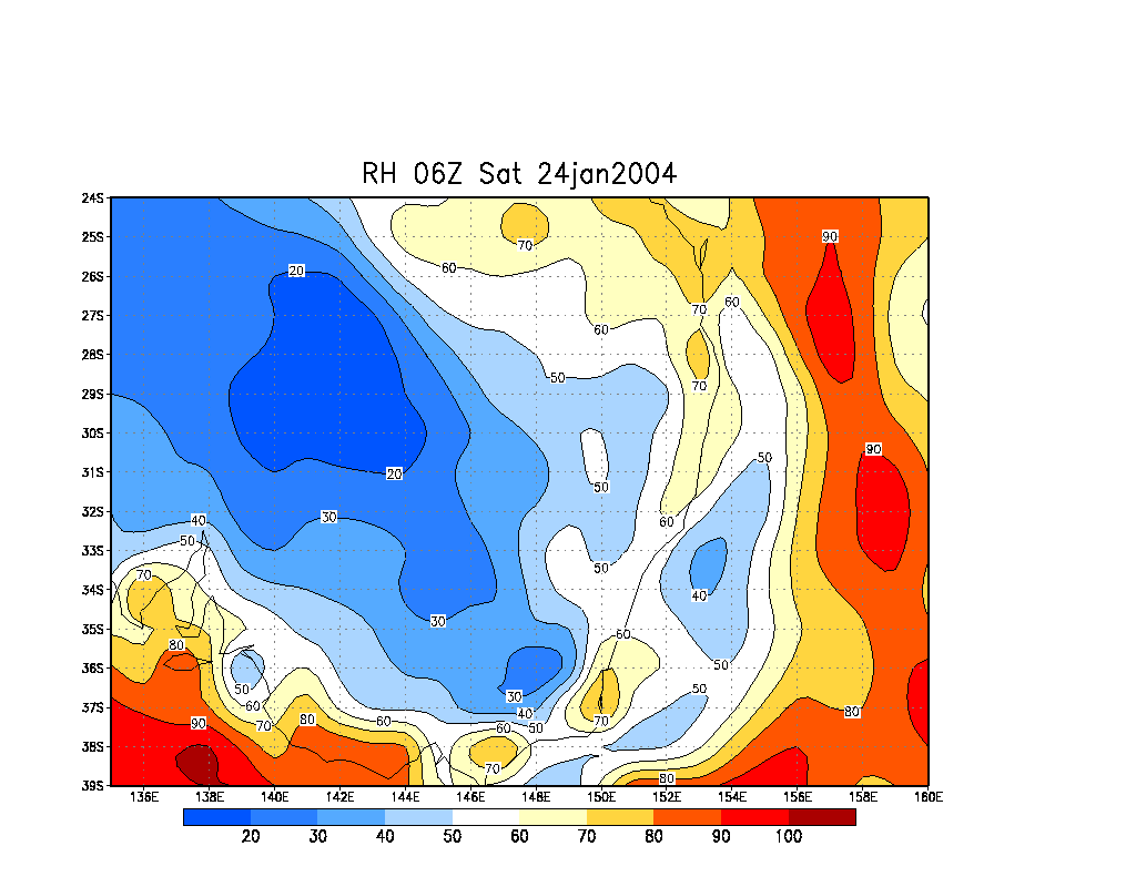
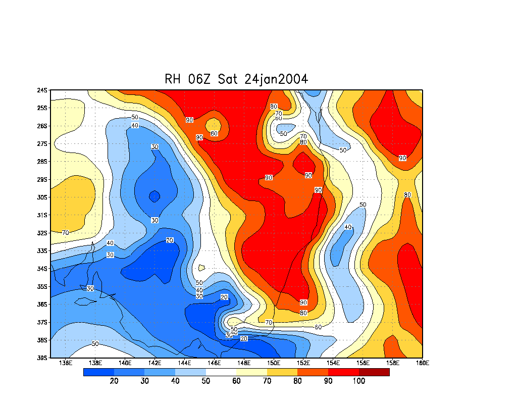
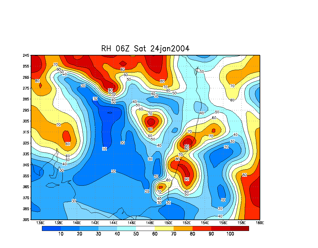
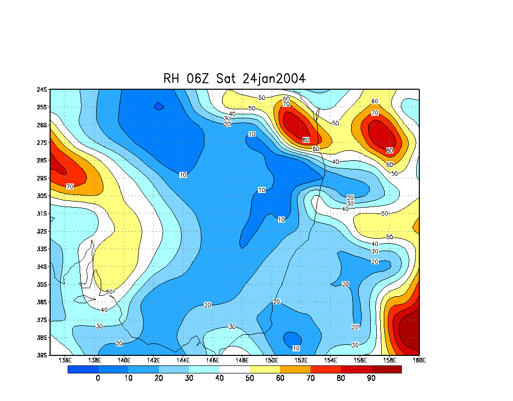
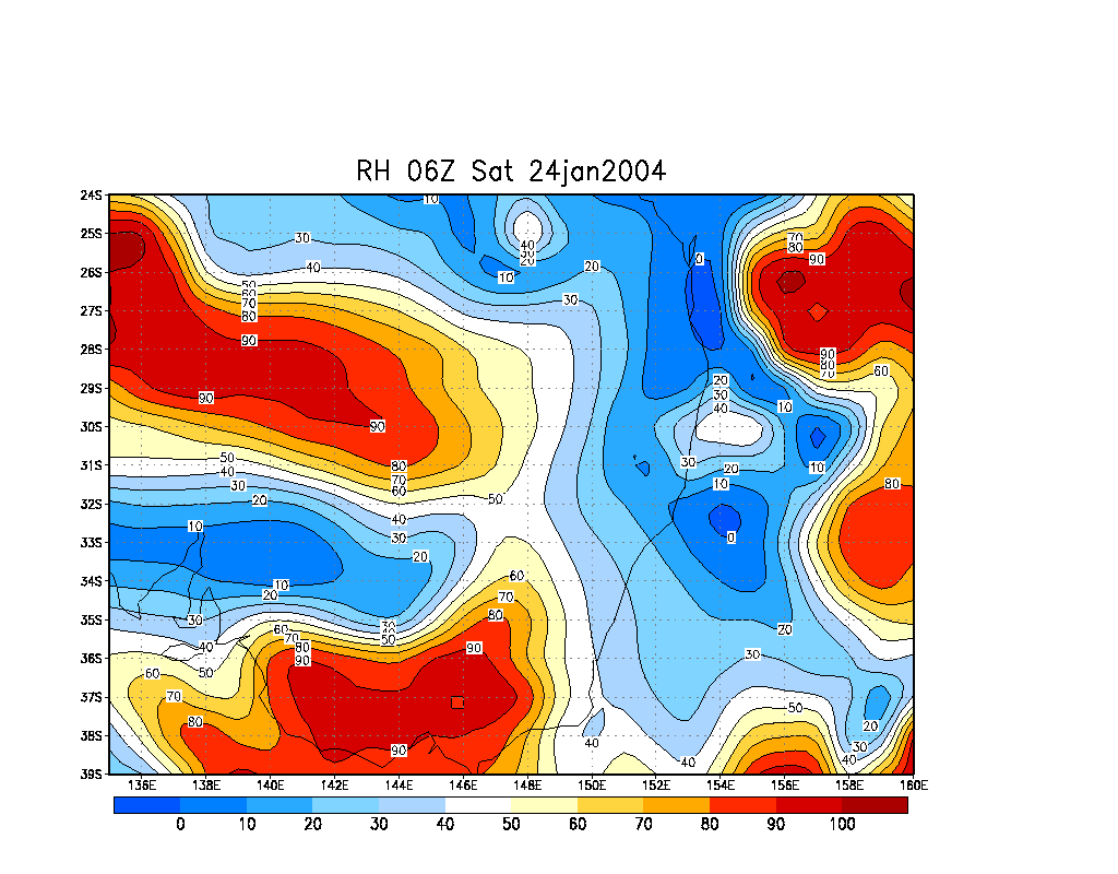
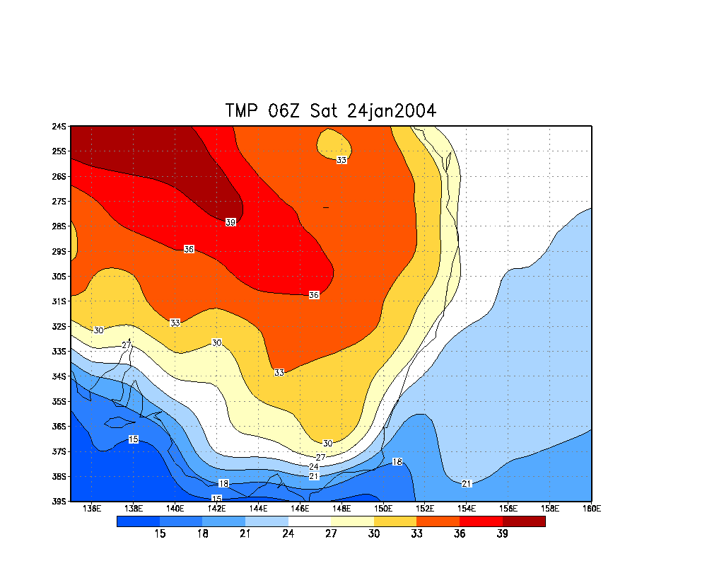
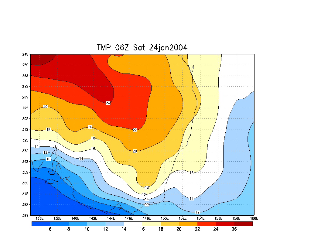
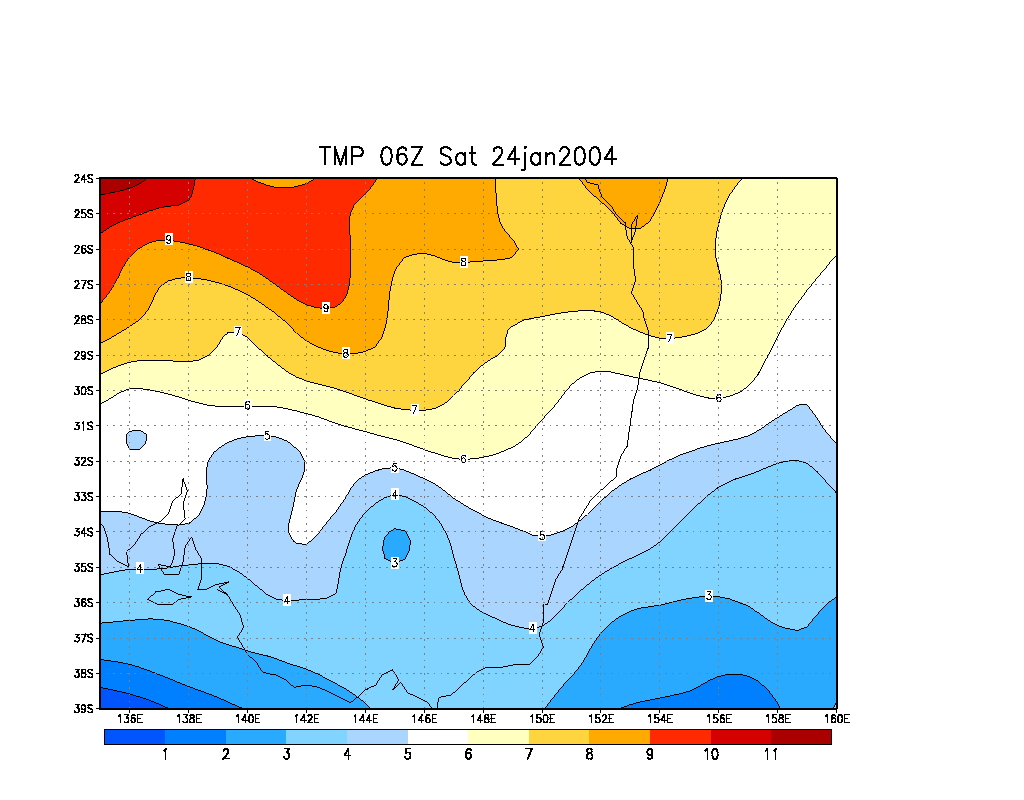
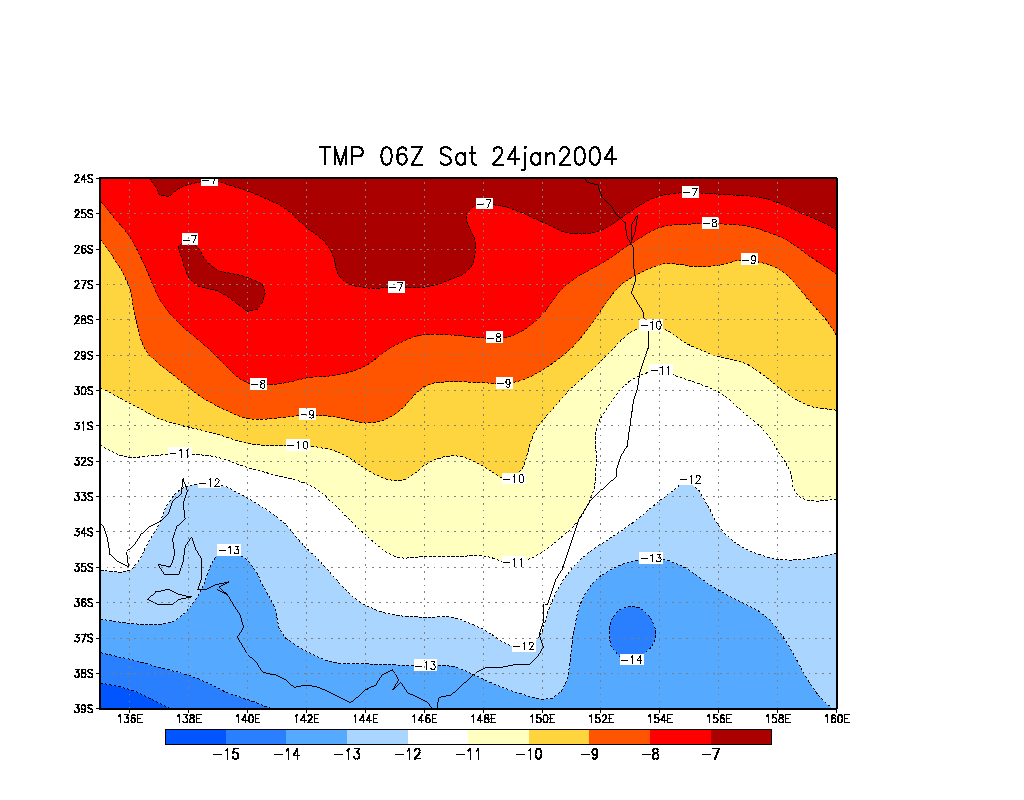
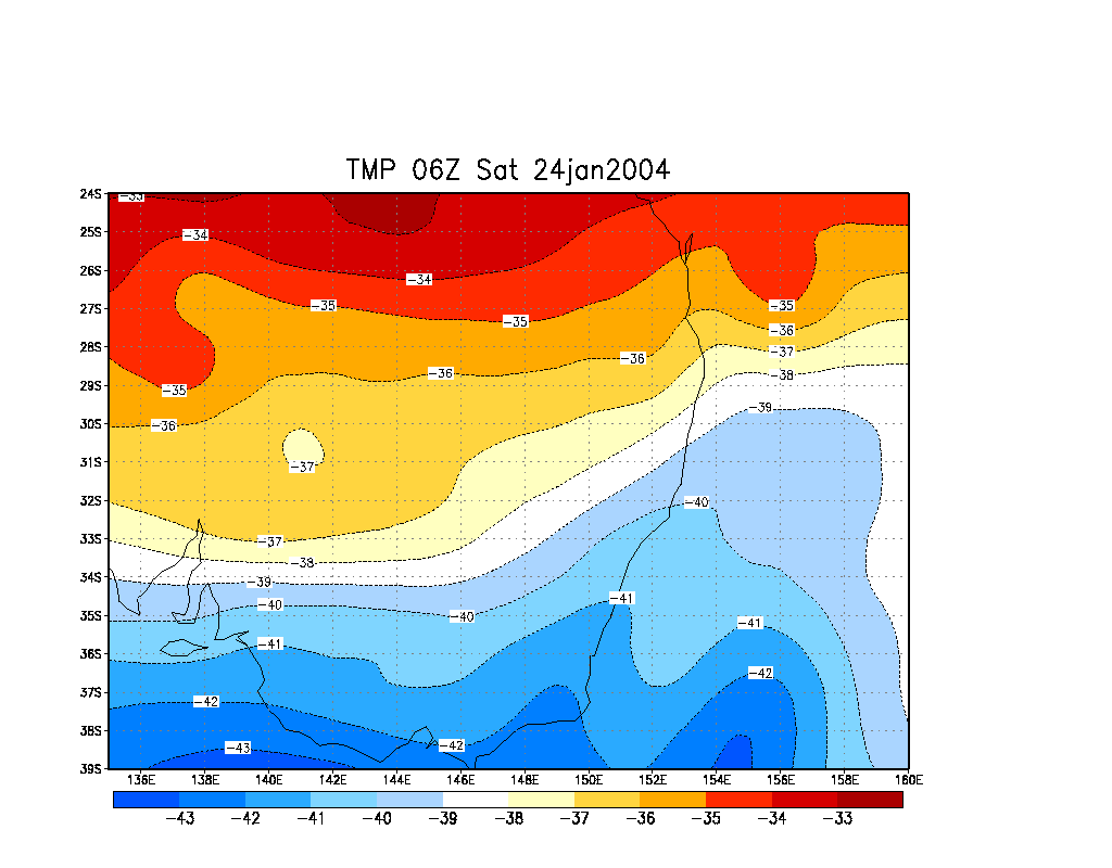
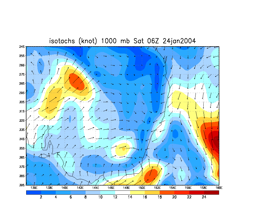
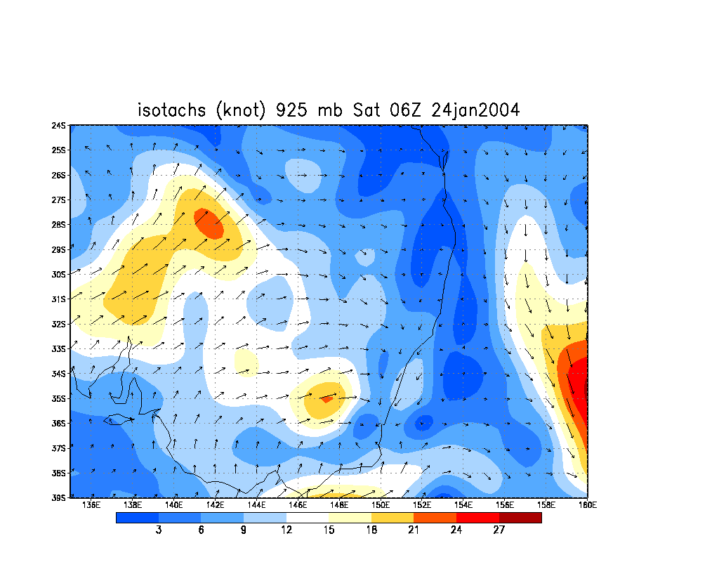
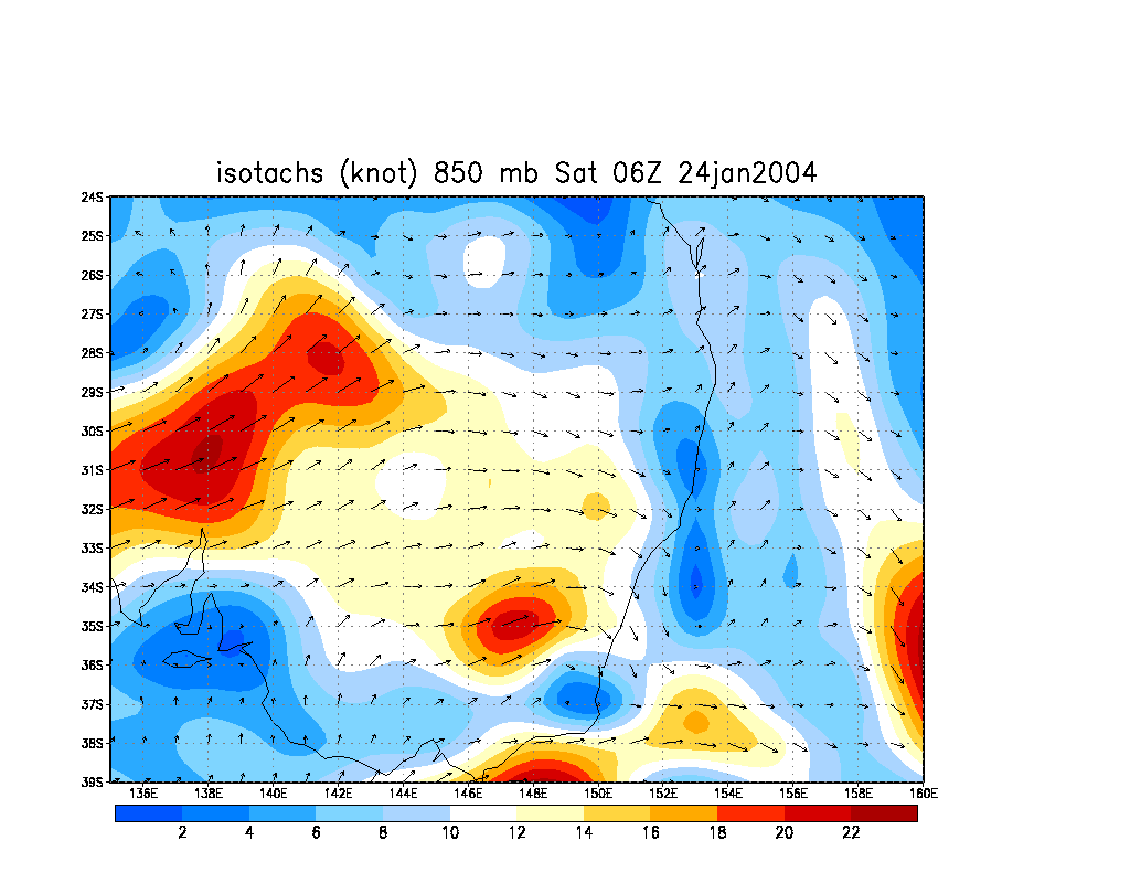
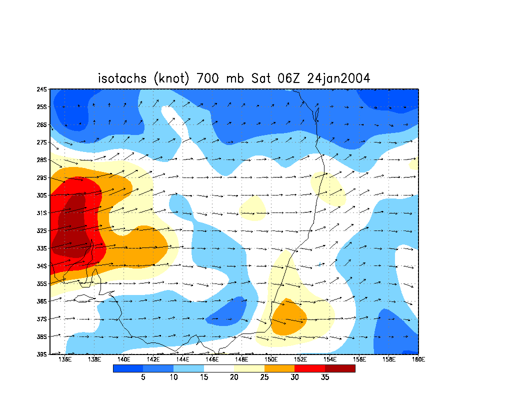
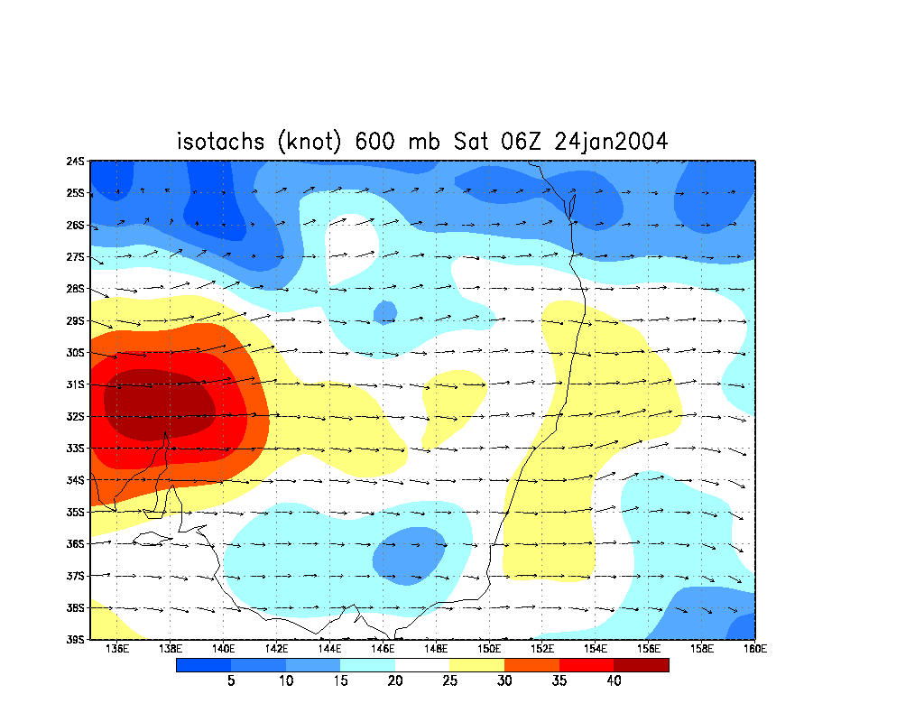
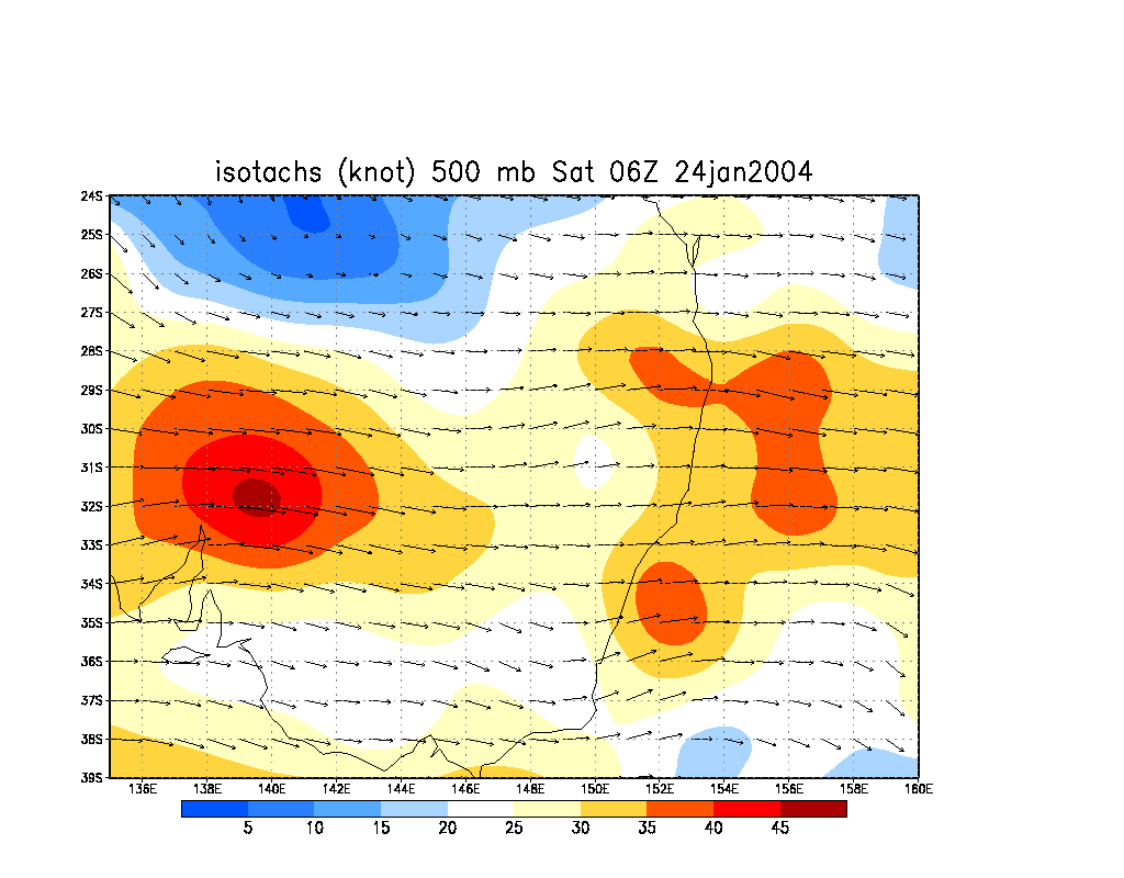
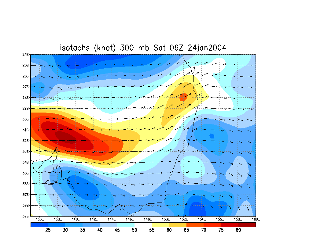
From NOAA 24/01/2004 06z analysis run
Report compiled by Dave Ellem and Michael Bath
|
Document: 200401-01.htm
Updated: 1st June, 2005 |
[Australian Severe Weather index] [Copyright Notice] [Email Contacts] [Search This Site] |