and Chasing
[Index][Archives]
Severe Storms and Spectacular Mammatus in the Northern Rivers: Wednesday 12th November 2003
by Dave Ellem
| Storm News and Chasing [Index][Archives] |
Severe Storms and Spectacular Mammatus in the Northern Rivers: Wednesday 12th November 2003 by Dave Ellem |
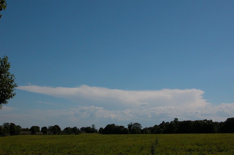
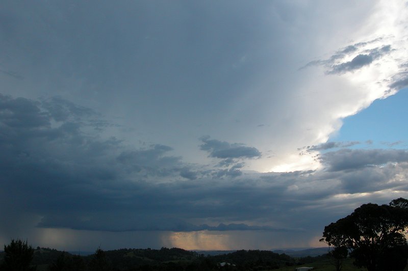

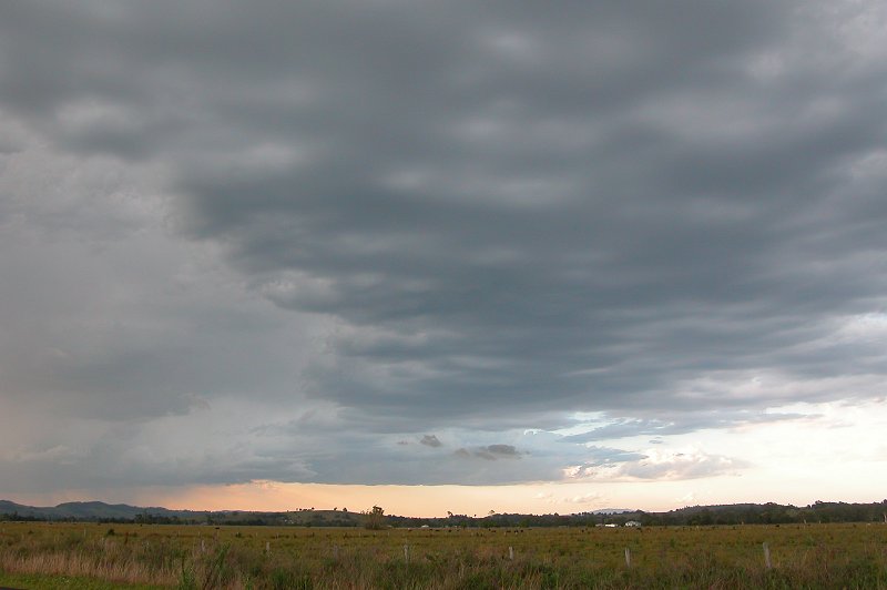
We stopped about 14km N of Coraki to quickly have a look
at what was going on. The rain ahead of us had now weakened, however towards
the NW the precipitation was looking quite intense. After admiring the lovely
thick anvil we headed of towards Kyogle on the Lismore-Kyogle road.
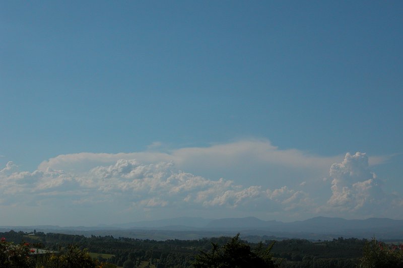
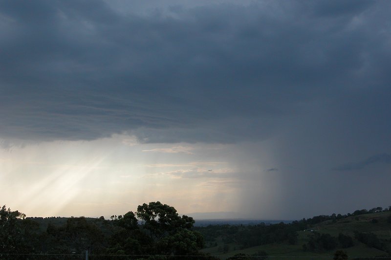
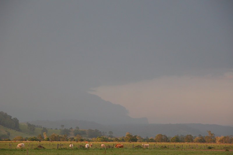
Several nice CGs were observed on the trip out, and it was obvious that a guster
was developing on the now severe cell. We stopped at the turnoff to Casino however,
as the cell had gotten away on us! We stayed for a little bit to enjoy the lightning
from the cell before anvil rain enticed us to head back home. On the way back
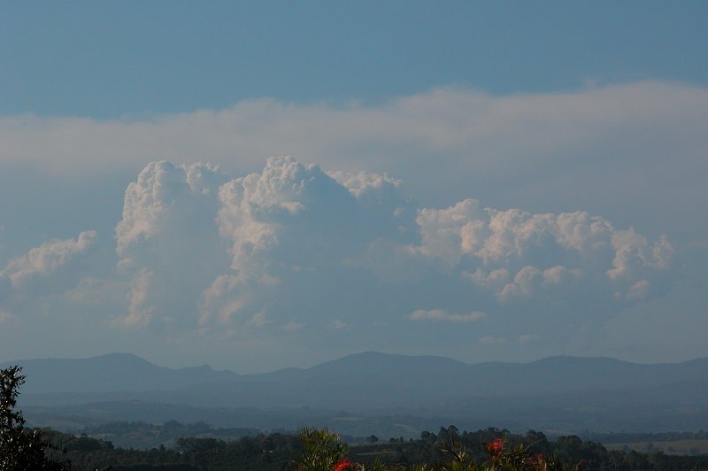
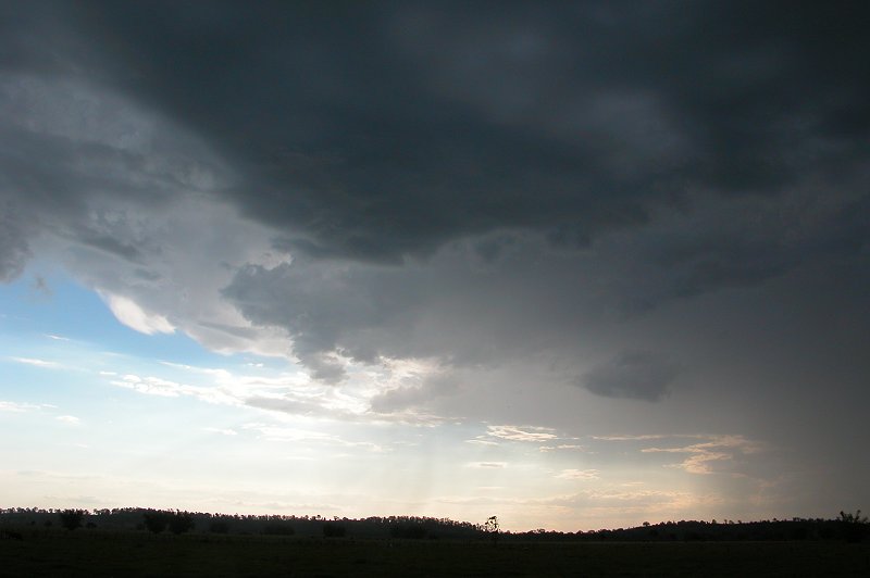
I stopped briefly to photograph what appeared to be the large guster on the
cell. It was disappointing it hadn�t done this S of Casino!
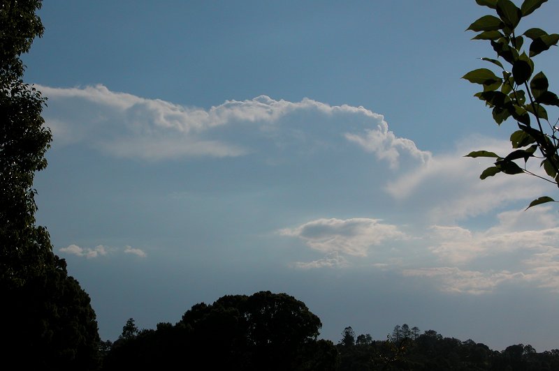
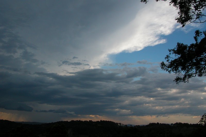
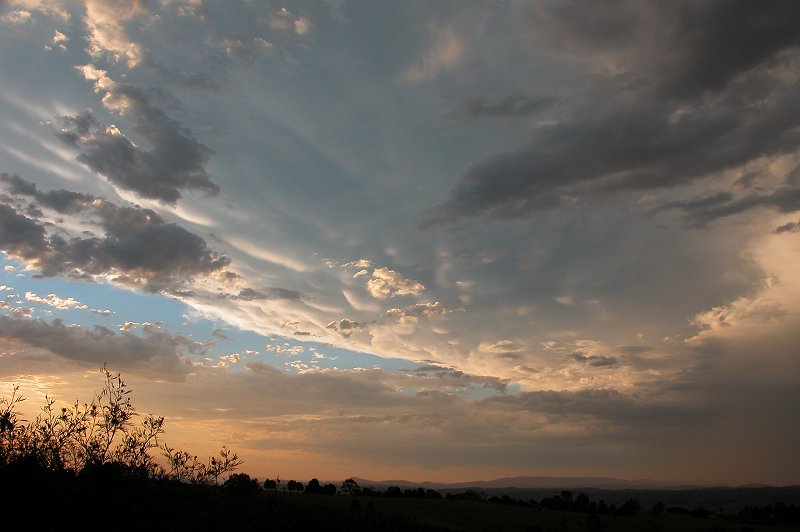
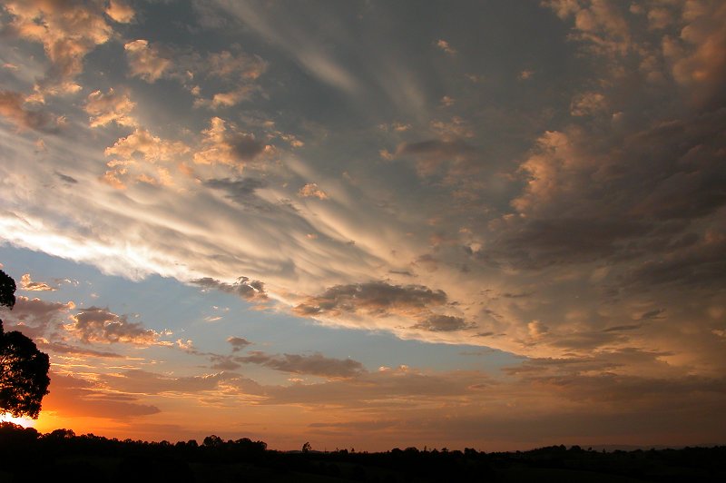
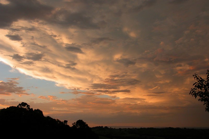
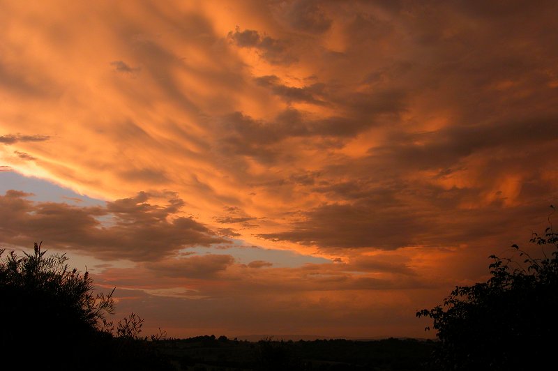
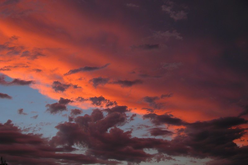
Just outside of Goonellabah on the trip home I spotted some mammatus from the Kyogle cell out of the corner of my eye and quickly pulled over. The storm had a lovely backsheared anvil with mammatus that was brilliantly illuminated by the lowered sun. I took a few photos before racing back home to photograph it as the sun set. A perfect way to end the chase!
The storm weakened as it crossed into Queensland, however
some lightning was observed at dusk. The storm had caused some damage when it
hit Kyogle, blowing out some windows at a home and knocking an old church building
off its foundations!
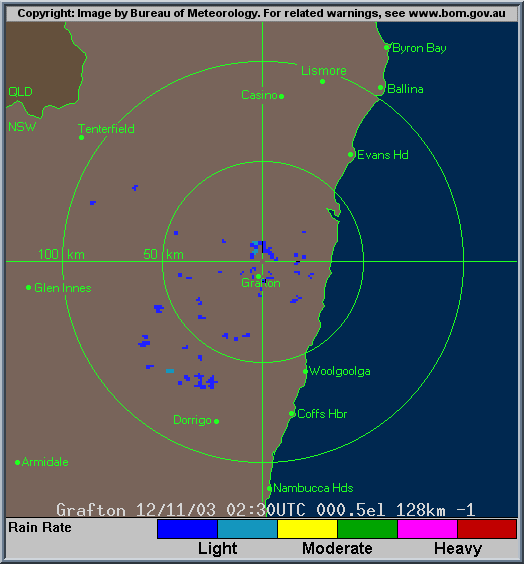
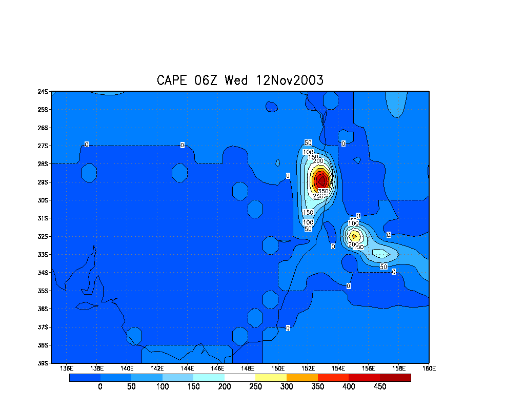
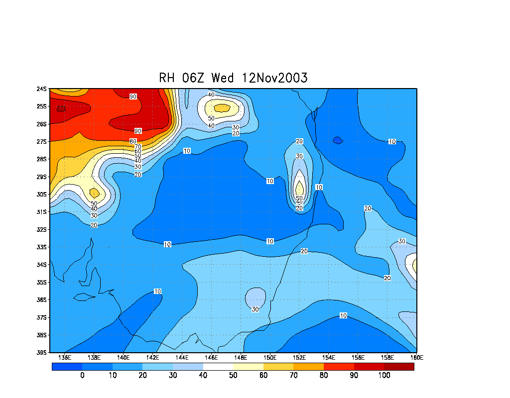
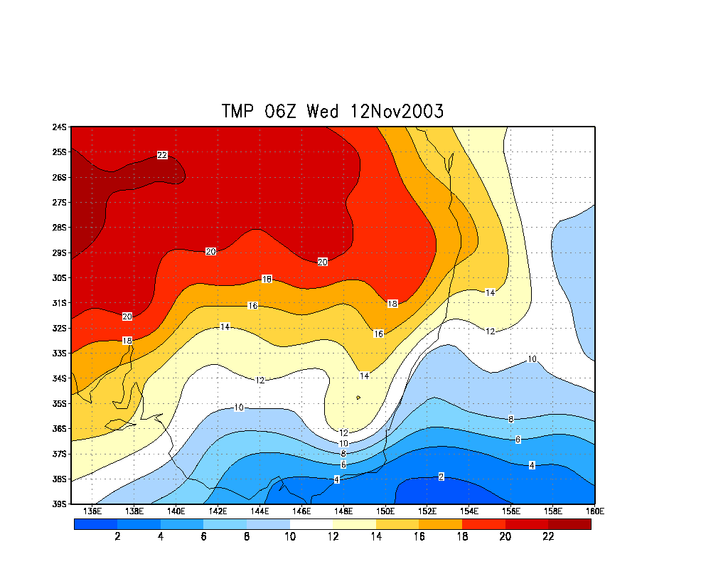
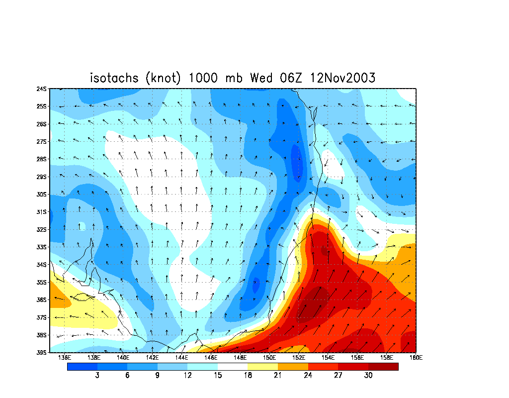
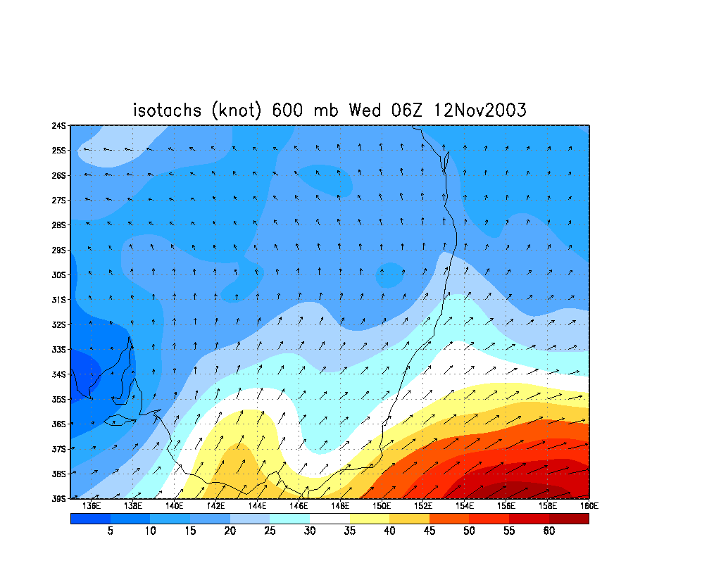
From Bureau of Meteorology.
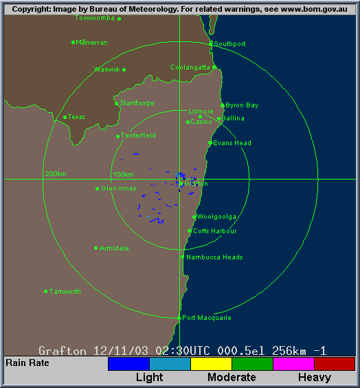
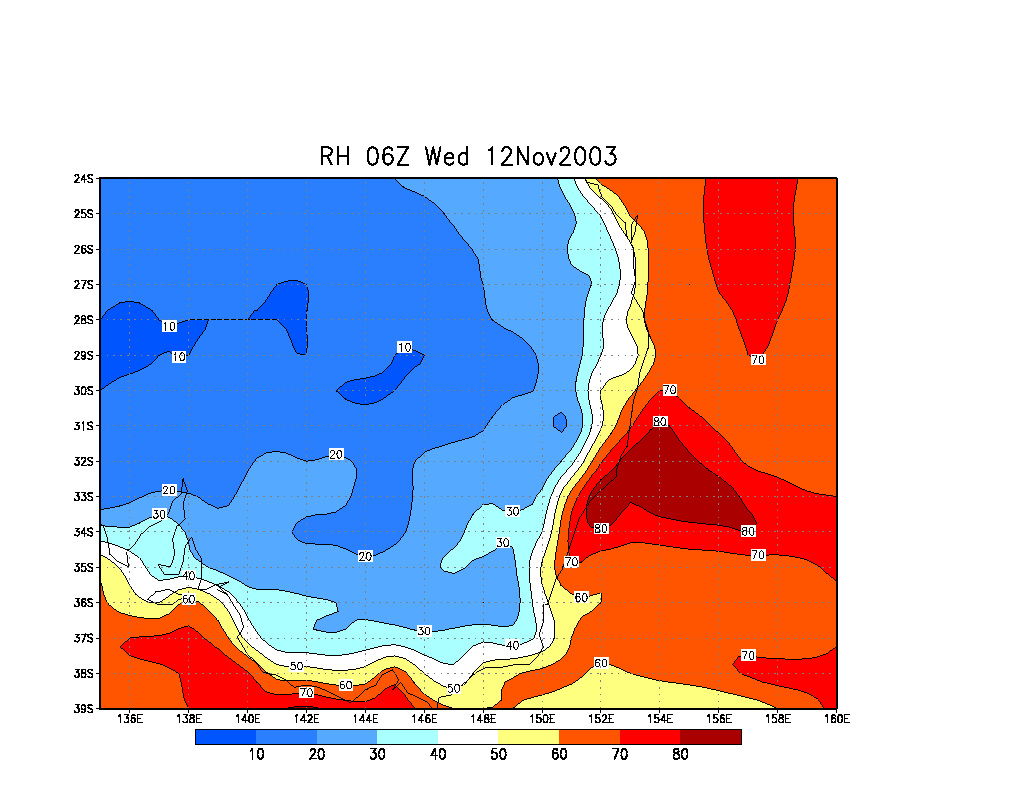
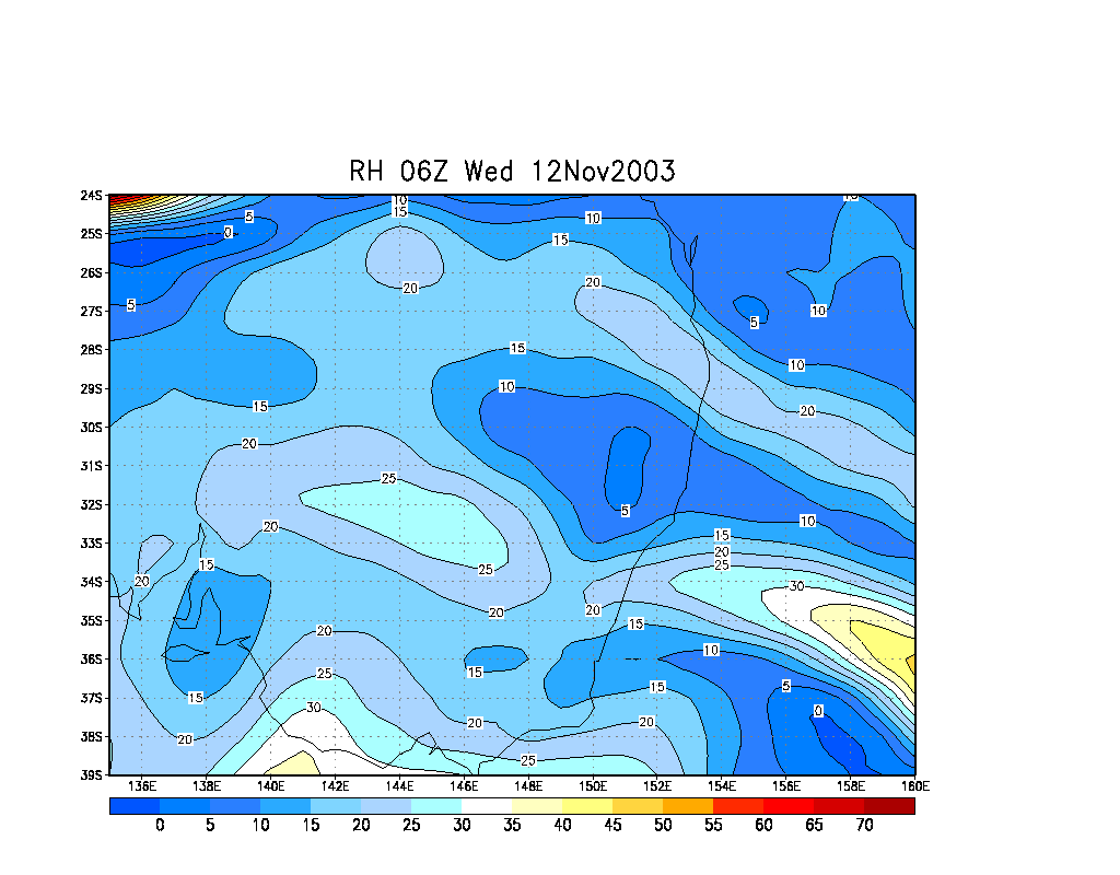
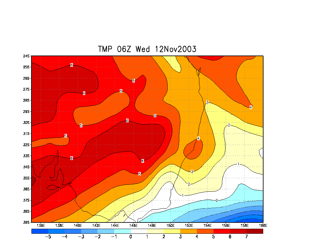
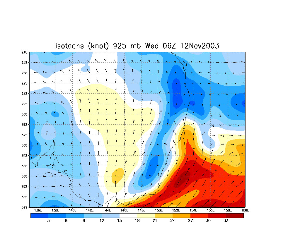
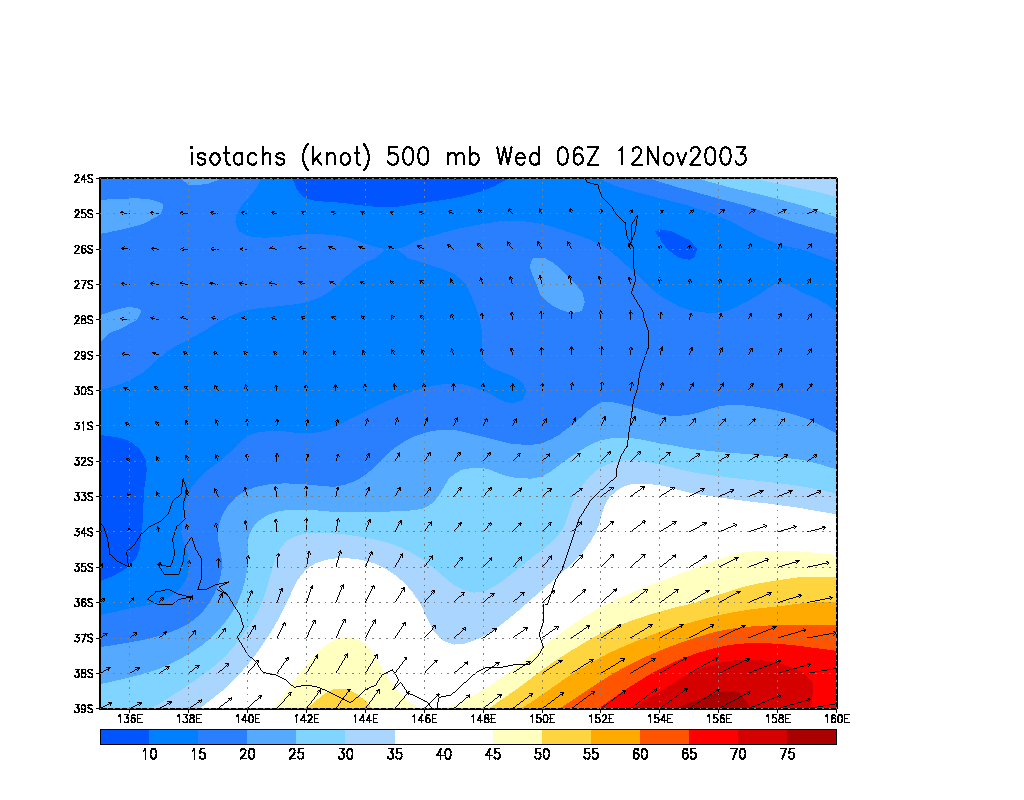
From Bureau of Meteorology.
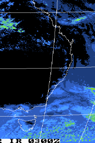
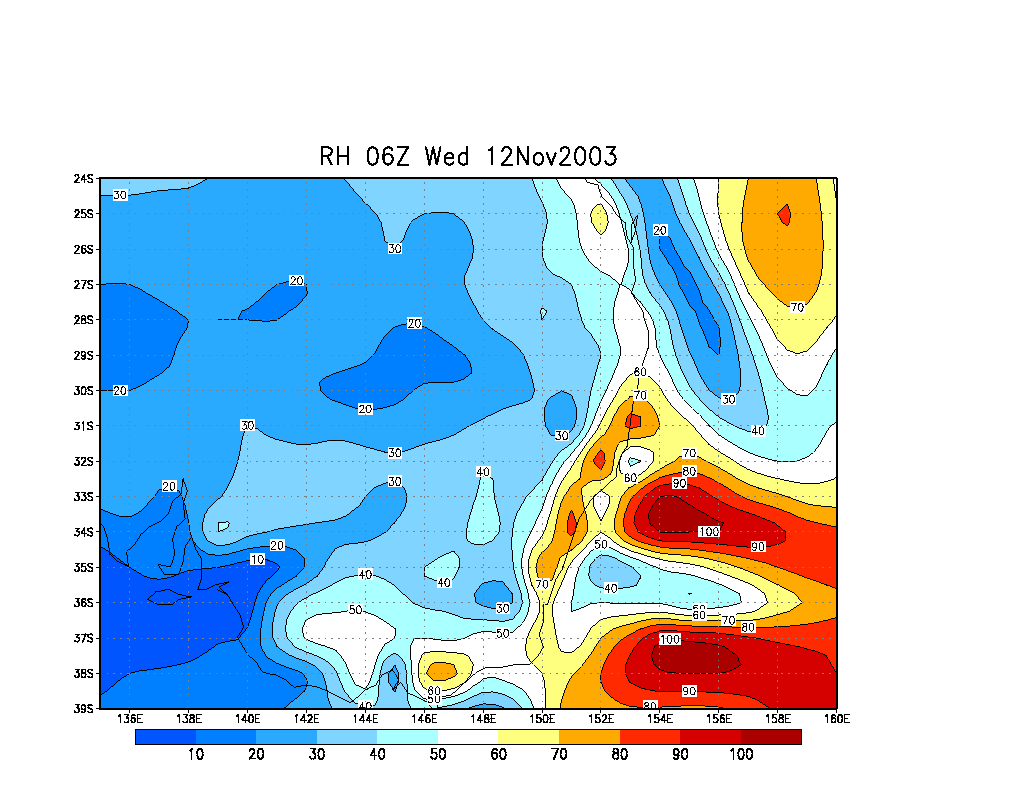
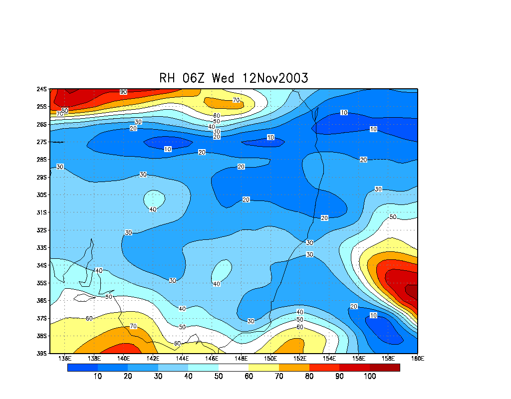
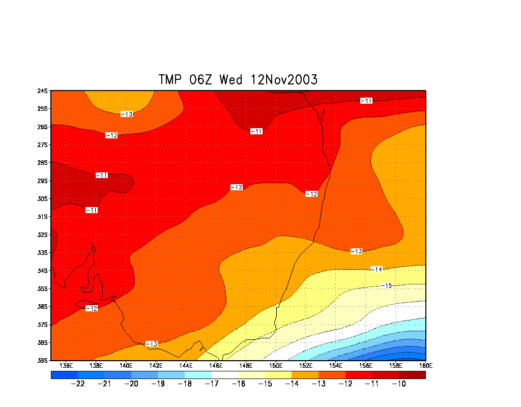
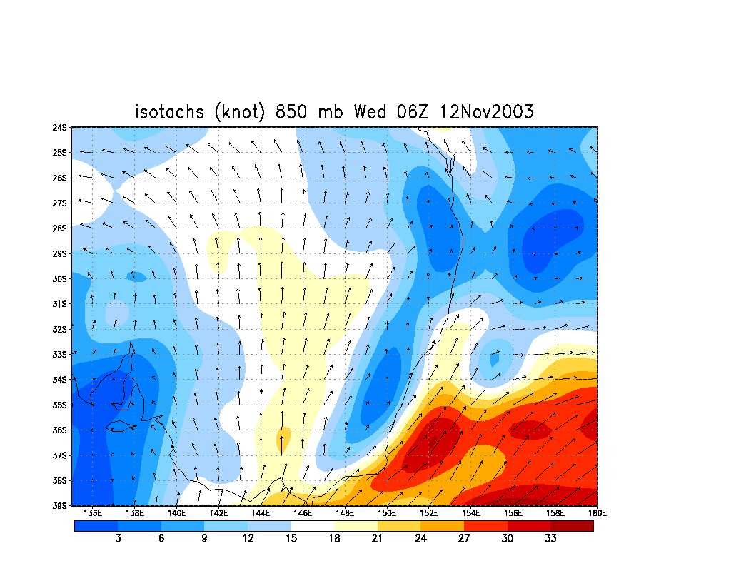
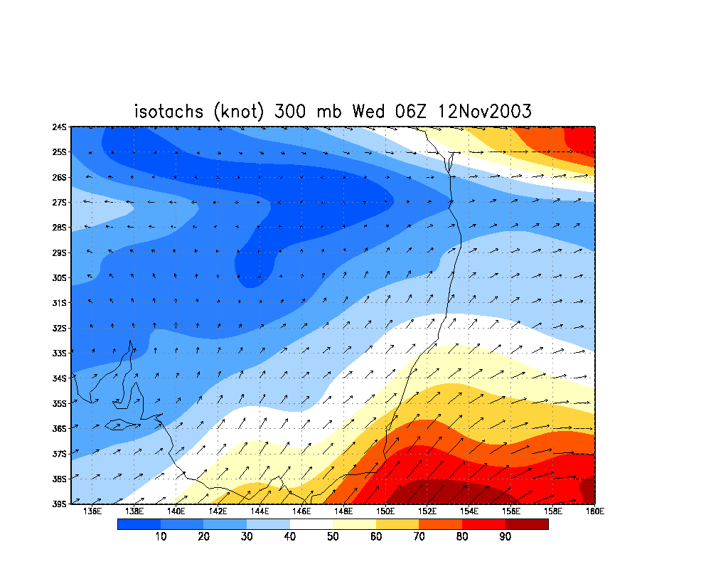
From Bureau of Meteorology.
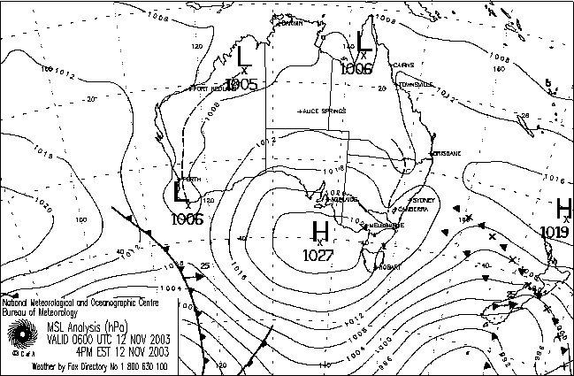
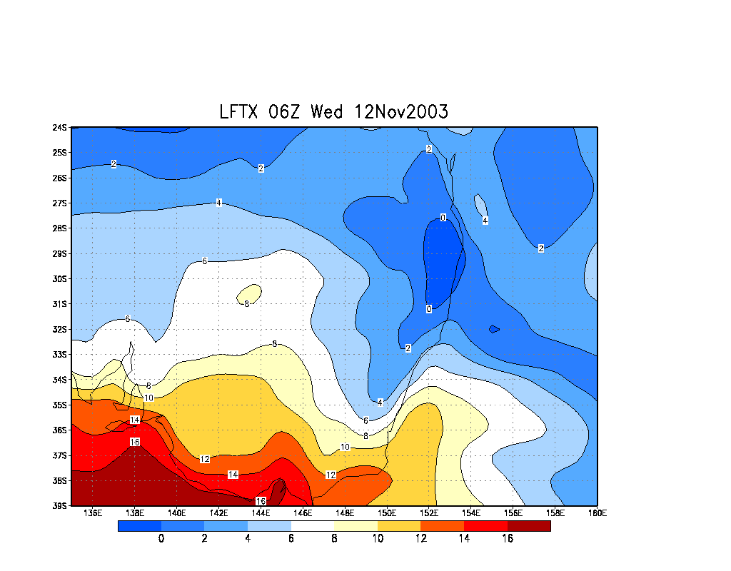
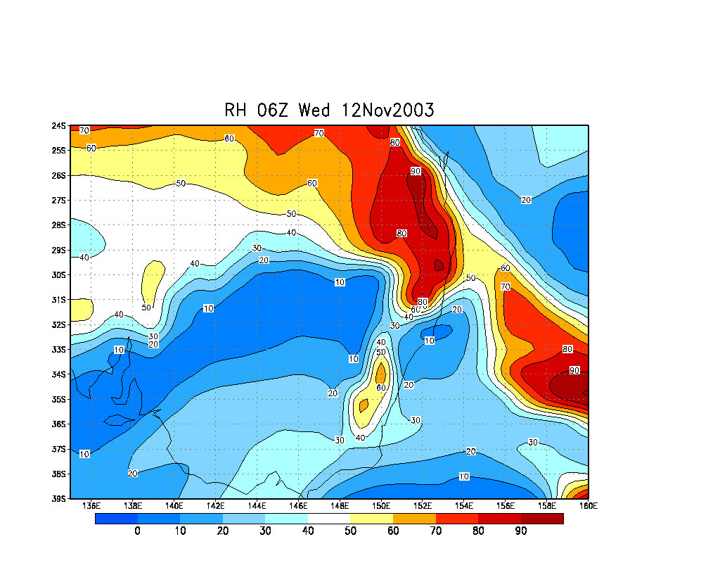
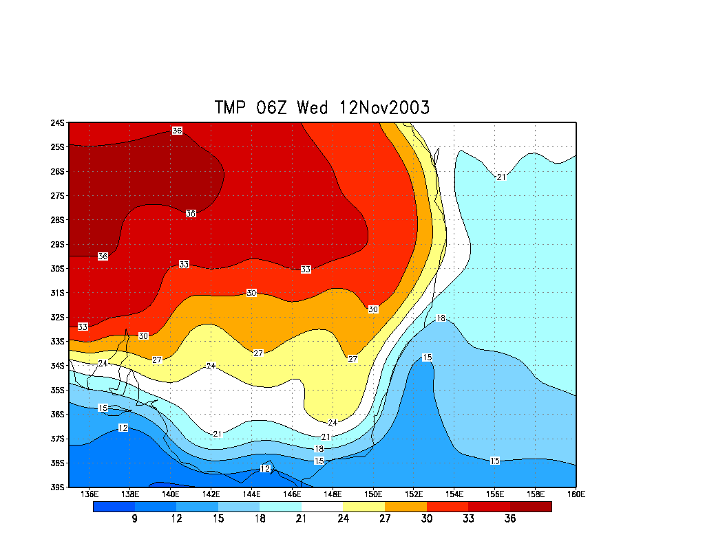
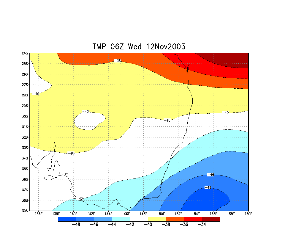
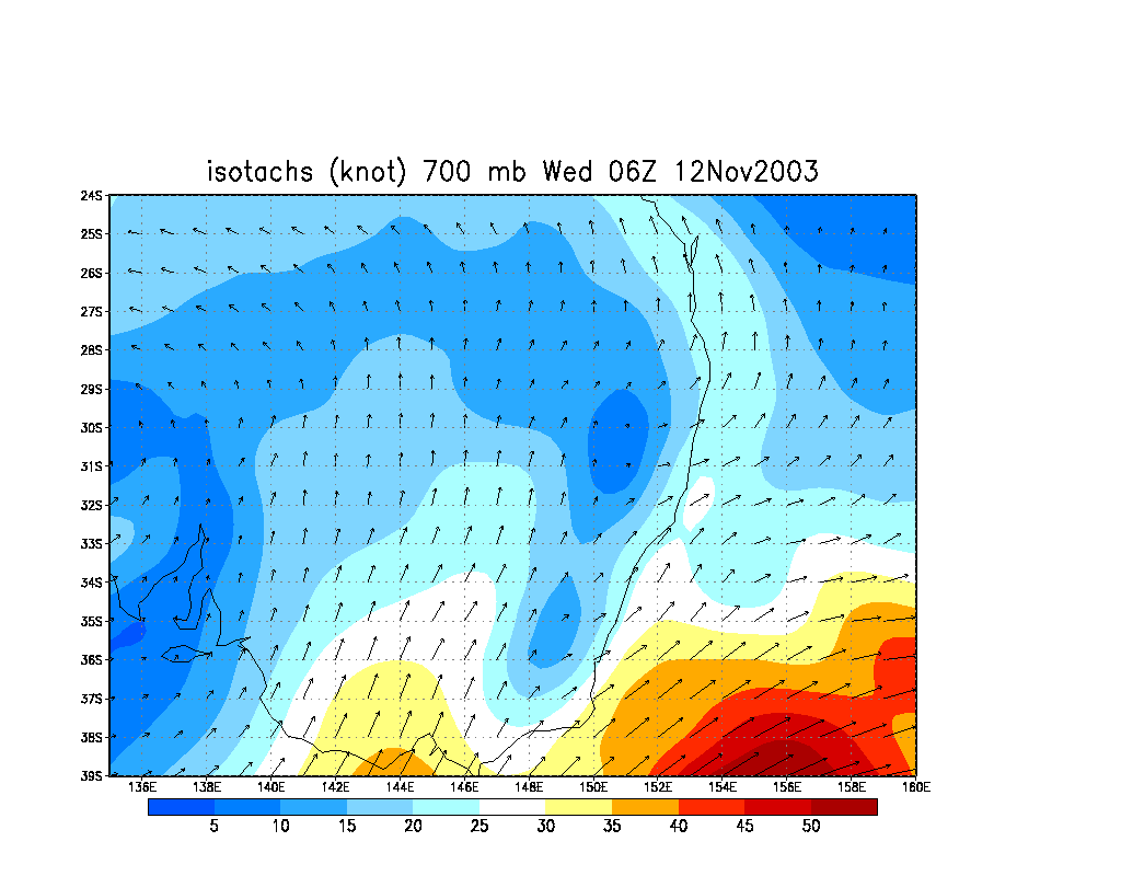
From NOAA 12/11/2003 06z analysis run
Report compiled by Dave Ellem and Michael Bath
|
Document: 200311-01.htm
Updated: 13th November, 2003 |
[Australian Severe Weather index] [Copyright Notice] [Email Contacts] [Search This Site] |