and Chasing
[Index][Archives]
LP Supercell and Lightning on NSW North Coast: Friday 10th October 2003
by Dave Ellem
| Storm News and Chasing [Index][Archives] |
LP Supercell and Lightning on NSW North Coast: Friday 10th October 2003 by Dave Ellem |
Storms formed locally in the Northern Rivers during the previous evening, ahead of a weak SE wind change, with one storm forming NW of Grafton and very slowly tracking NE towards Ballina and maintaining a red core on radar for nearly the whole time. A severe thunderstorm advice was issued, however when Michael Bath and myself went out chasing, the cell visually appeared weak. Lightning was very infrequent and we intercepted the N side of the cell at Ballina, experiencing very heavy rain.
Instability was very coastal on the Friday, with LIs and Cape appearing to reach maximum just off the coast of Coffs Harbour at 09z (7.00pm local). Dry air was slowly encroaching on the coast and was likely to dry things out completely after lunch. During the morning there was plenty of moisture in the atmosphere, with some mid and high level cloud, however the sun still managed to get through this and temperatures still climbed quite high. Weak storm development commenced in the Northern Rivers around 12 noon.
Michael Bath and I headed off around 1pm
towards the Evans Head area. Tiny cells, but still with red cores, had developed
N and NW of Grafton and were heading generally SE. The drive down was slightly
discouraging, revealing high based and low topped cells that looked very moisture
starved. Once some weak convection nearby cleared, it revealed stronger cells
sitting just off the coast. We stopped quickly at Woodburn to photograph the
back of one cell before continuing towards Evans Head.
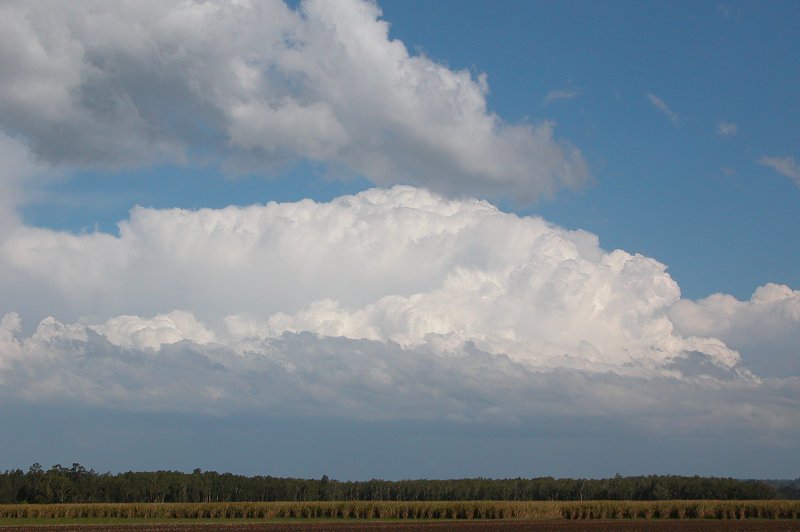
This cell weakened quickly, however we decided to
find a lookout at Evans Head that would show us what was going on further south.
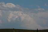
We drove to the top of a hill that had a large water tower on it and caught
sight of what appeared to be a very strong corkscrew updraft to our south! However
a hill S of us was obscuring its base. We quickly realised this lookout was
no good, so we dashed south a bit more to another possible lookout point, but
we again encountered the same problem. We still took a few photos and time lapse
of the cell which could later tell us if there was rotation.
About 10 minutes later we headed back to the original
lookout on the hill, as Michael thought that if we followed a small track through
the sand dunes to a higher point on the hill we'd have a good view. When we
arrived we very quickly grabbed all our gear in our hands and began storm chasing
on foot!! We ran and ran and ran down a track through thick coastal scrub. Running
through sand with two cameras and two tripods on you isn't exactly easy. We
found a small clearing to stop at and take some more video - we could now see
the base and could make out what appeared to be a small cow catcher formation
- but it quickly lost its definition.
A radar update from Anthony Cornelius revealed that cell had veered ENE and was
in fact getting closer which was exciting! We packed up the gear and continued
the trek through the bush to get to the better lookout spot. We eventually made
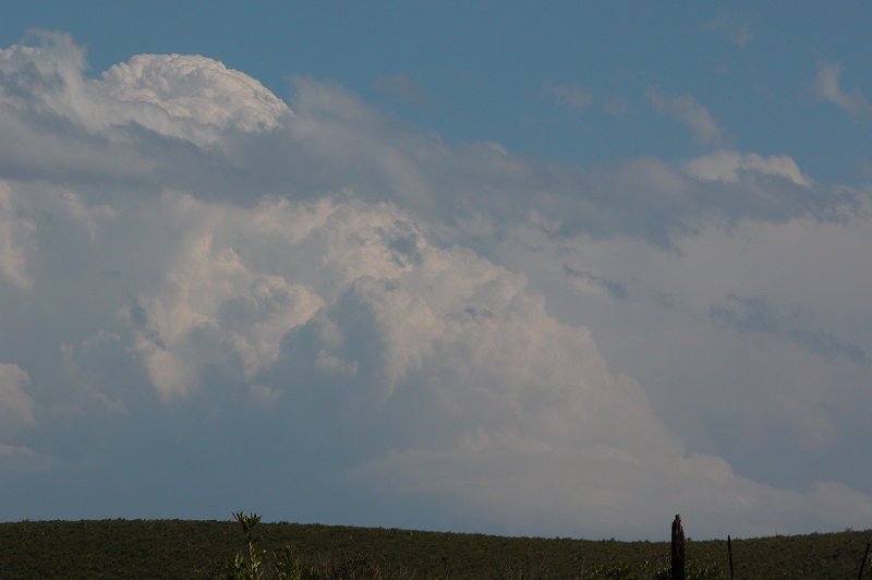
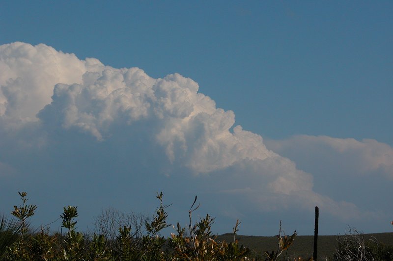
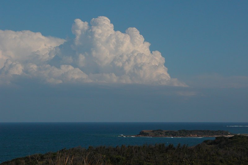
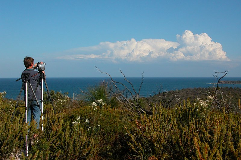
it up the hill and had a perfect view of activity to our south. There appeared
to be 3 cells along the coast - the furthest we could see was probably near Port
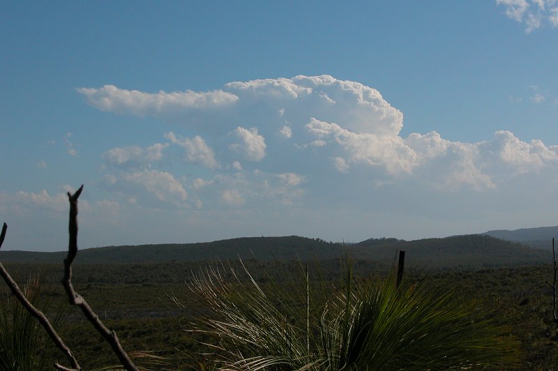
Macquarie! The closest cell to us, which was probably a supercell or very close
to being one, began to weaken, however the next cell S of it continued to explode.
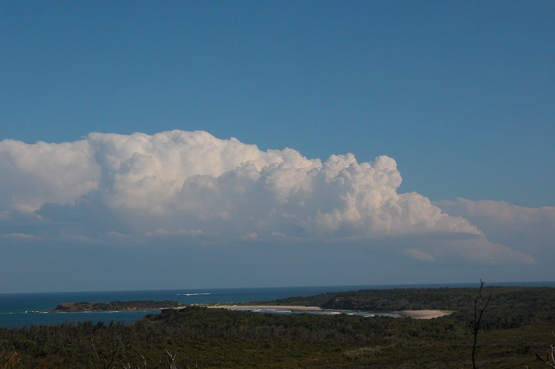
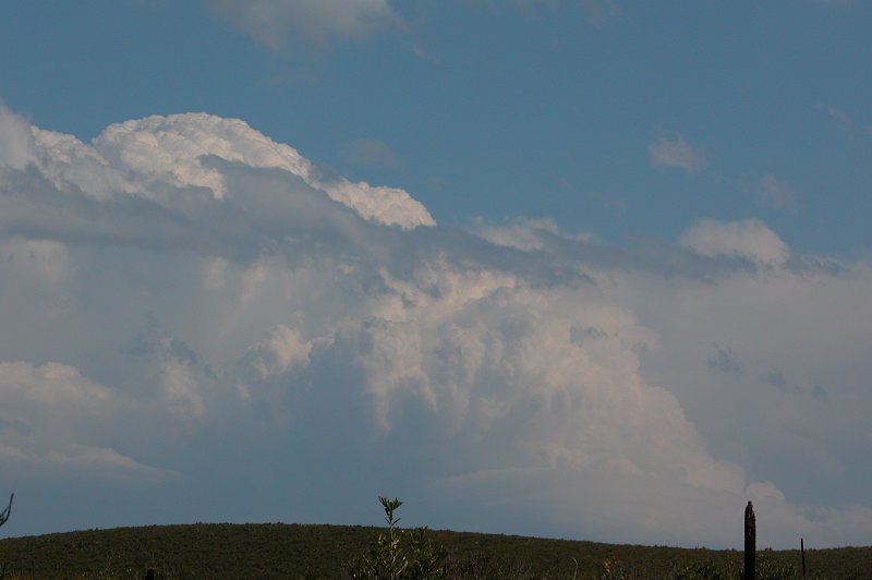
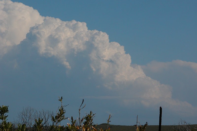
We enjoyed watching the cells, taking photos and
recording time lapse for over an hour. The cell further south of us just exploded
with solid vertical updrafts that were so crisp! It was responsible for producing
golf ball hail just on the coastal fringe before it moved offshore.
Michael went around the hill to see what was going
on to our north. There was no interesting storm activity, but he managed to
find himself a 2 metre brown snake lying on the track. It quickly shot away,
but I was paranoid at every movement in the scrub after that!!!! After watching
for a while and giving up on some Cjs nearby which weren't developing due to
the dry air pushing through, we headed back home.
The chase was finished enjoyably listening to Matthew
Hayden receive the highest score in test match cricket on the radio!
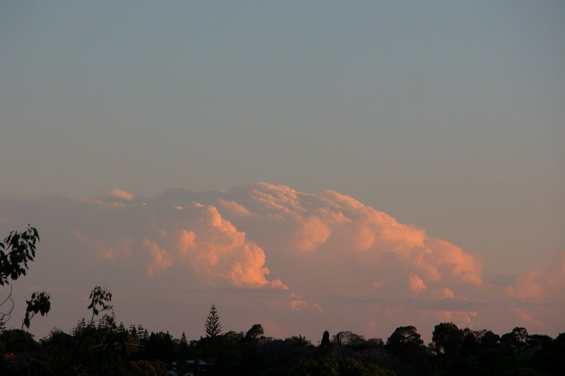
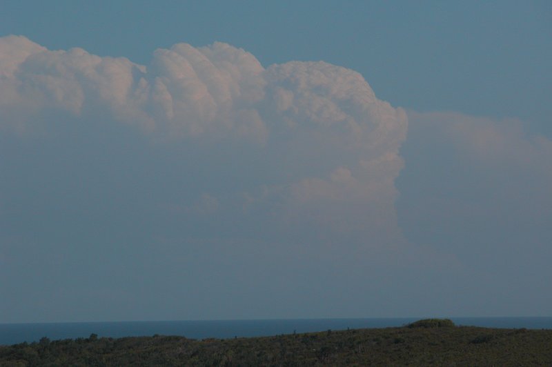
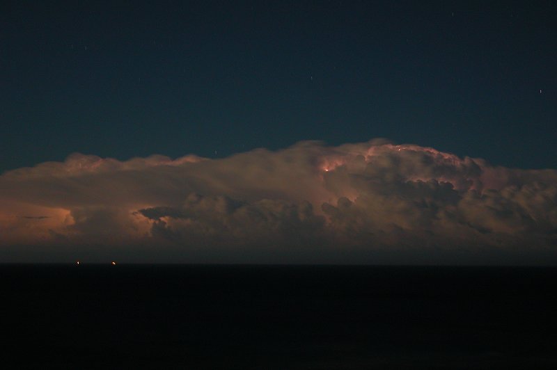
But the day wasn't over yet. In the back of my mind I had wondered about storms
forming near Coffs Harbour around 7pm and giving a light show when cape reached
a maximum of over 1000 j/kg. At around 7pm I heard my dad yell from outside
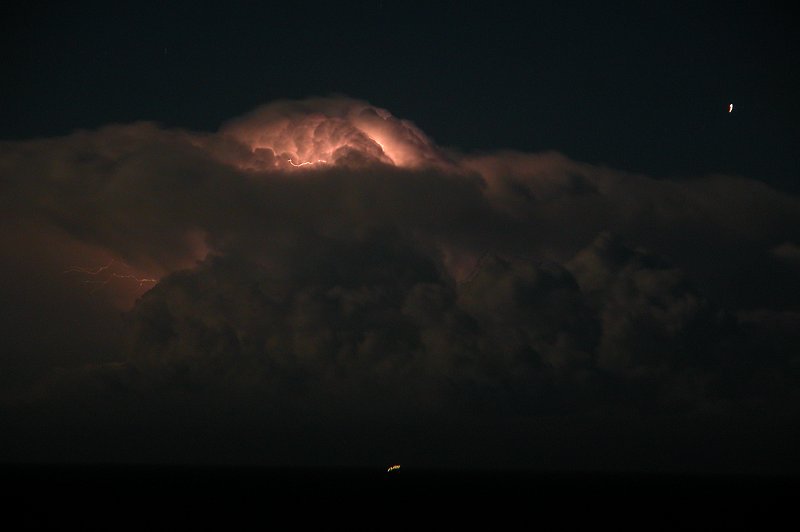
"come check this storm out". I went outside and was greeted to near constant
lightning from a cell just NE of Coffs. It was spitting out heaps of CCs and
CAs and the occasional CG. After taking some photos I was keen to head south
and try and get closer to it, as it was getting stronger on radar and heading
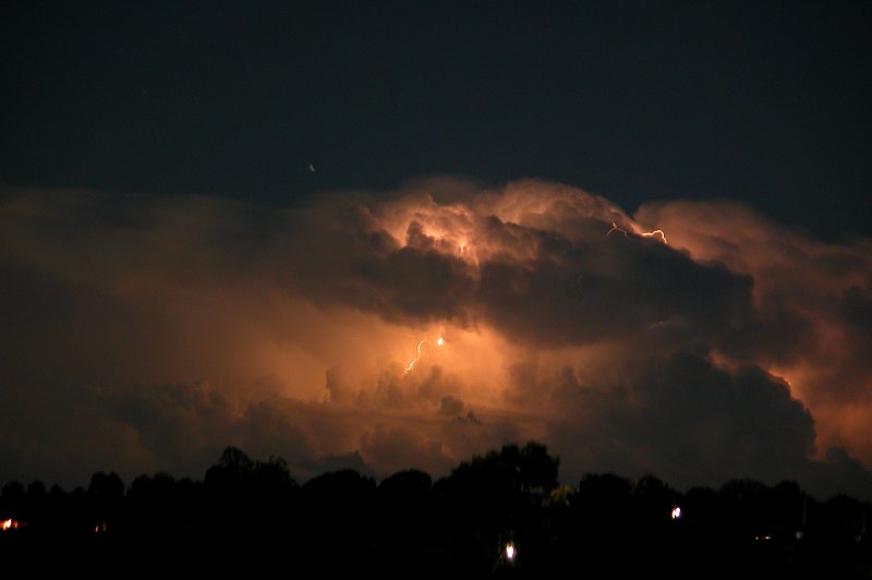
NE. By 7.30pm Michael Bath, my Dad and myself were on our way to Broadwater.
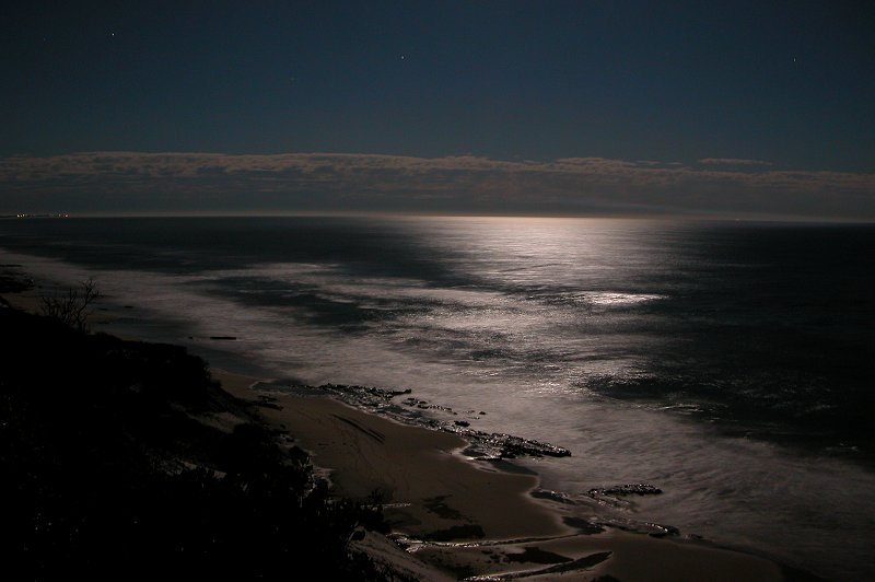
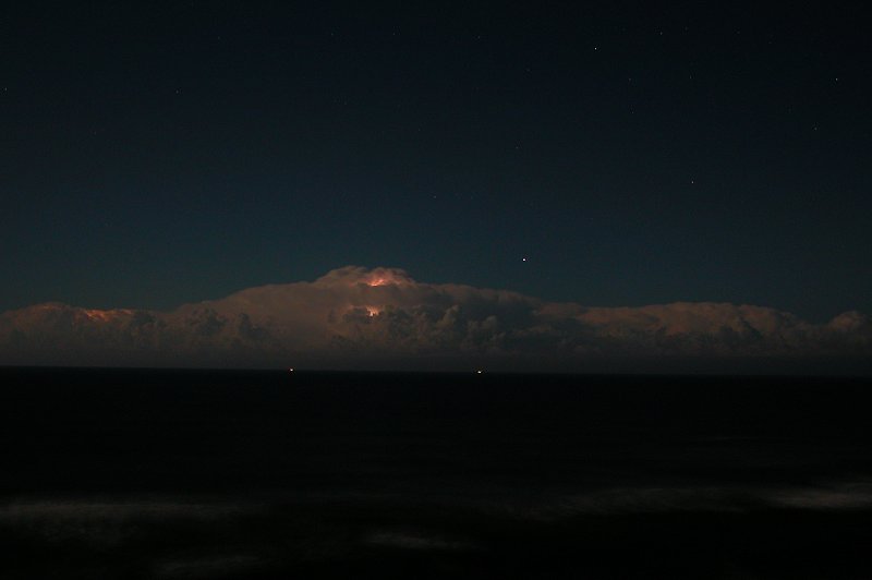
We watched the lightning from the storm from a lookout at the Broadwater National
Park for over an hour, enjoying the frequent flashes from the now massive storm
system. It was too distant to get any really clear photos though, but a nearly
full moon illuminated the cells enough to get some structure shots. We headed
home around 9pm.
Video footage taken at Evans Head by Dave Ellem:
 Timelapse sequence 1 [1.7mb]
 Timelapse sequence 2 [1.1mb]
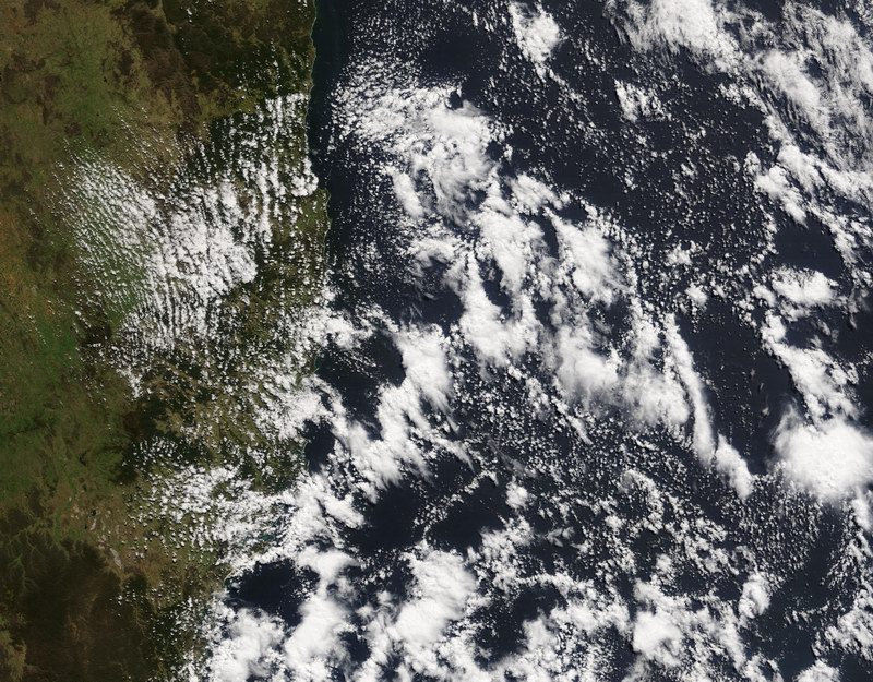
From Bureau of Meteorology.
9.55am MODIS 250m resolution image
MODIS image at 1.45pm local:
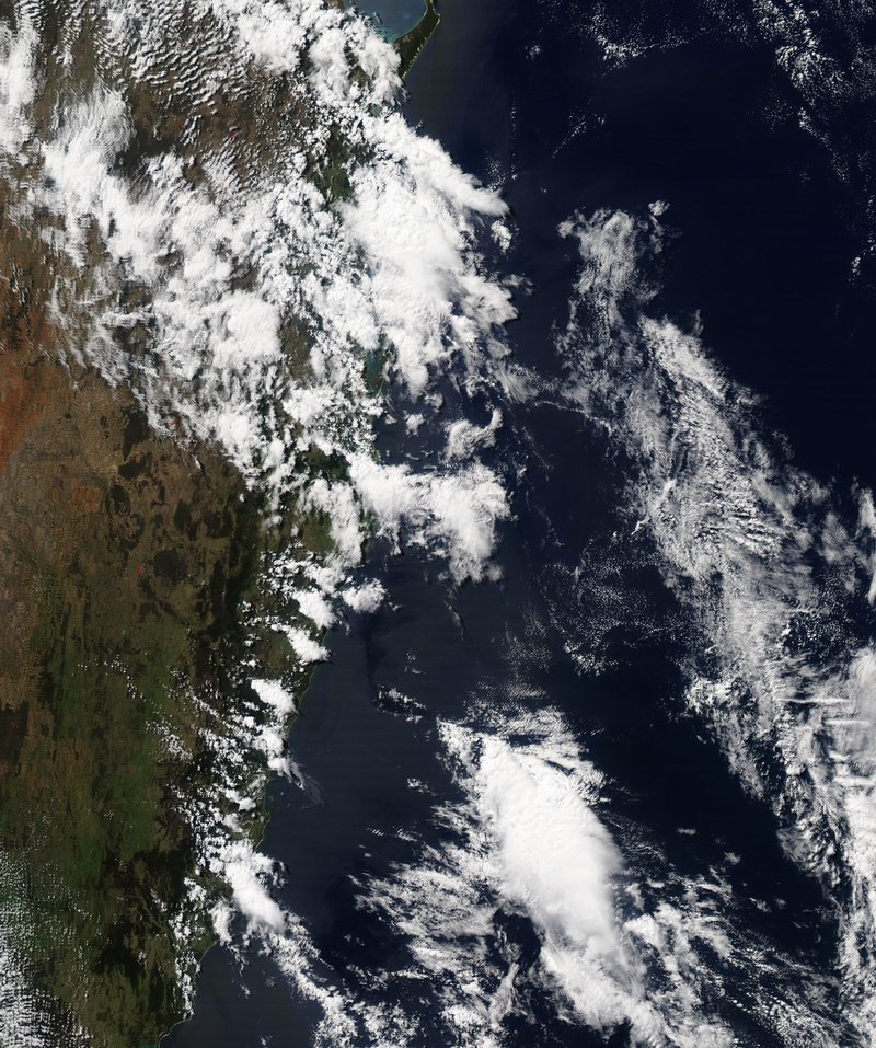
From Bureau of Meteorology.
From NOAA 10/10/2003 06z analysis run
Report compiled by Dave Ellem and Michael Bath
|
Document: 200310-02.htm
Updated: 5th January 2006 |
[Australian Severe Weather index] [Copyright Notice] [Email Contacts] [Search This Site] |