and Chasing
[Index][Archives]
TORNADO Sighted in NE NSW: Monday 29th January 2001
by Michael Bath
| Storm News and Chasing [Index][Archives] |
TORNADO Sighted in NE NSW: Monday 29th January 2001 by Michael Bath |
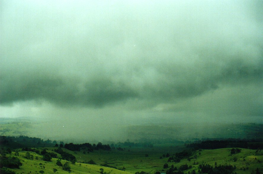
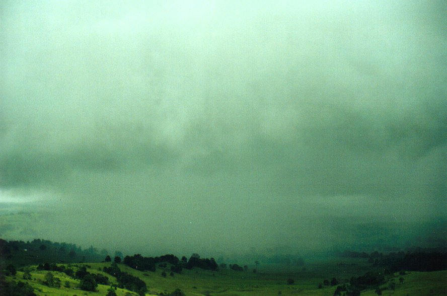
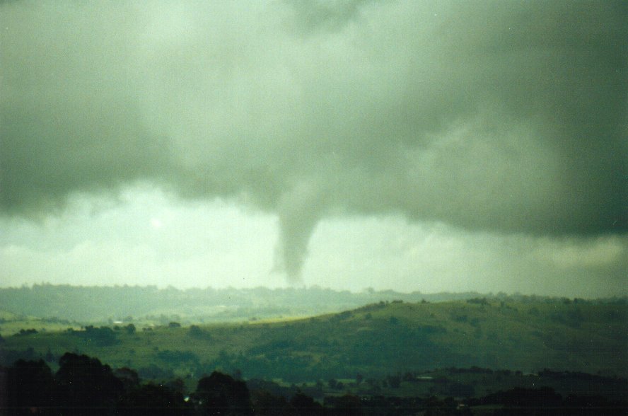
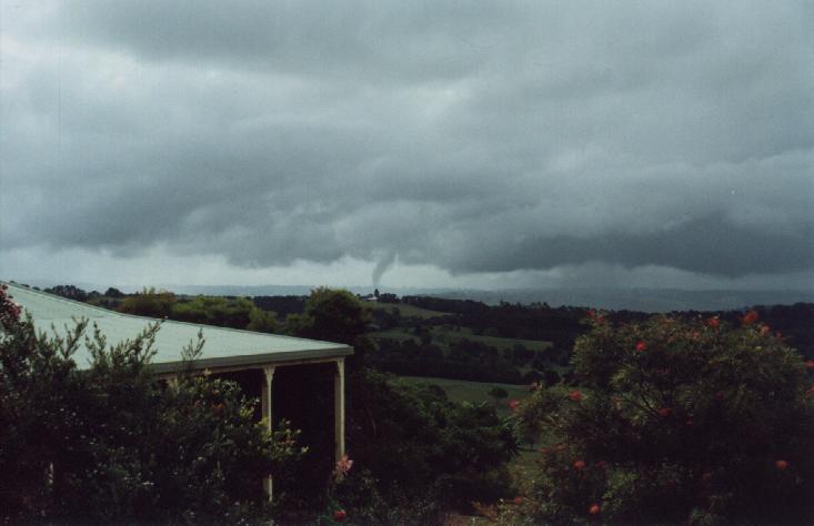
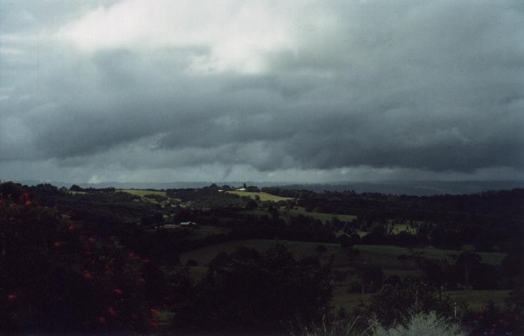
At 3.54pm I glanced out the window to the NNW and was amazed to see a funnel of cloud from the SW side of the cell all the way to the ground on a hill facing me approximately 5-6km away. The parent "storm" had a backshear at around 6-7km in height with the funnel occurring on the flanking line which spread SW towards more large cumulus cells.
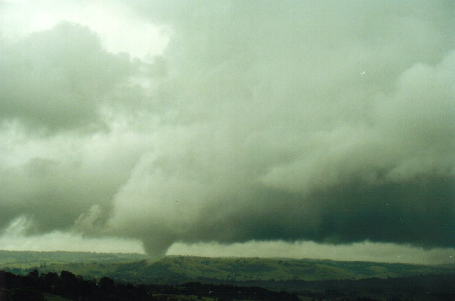
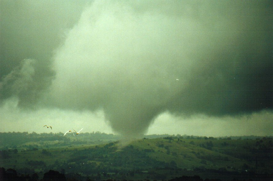
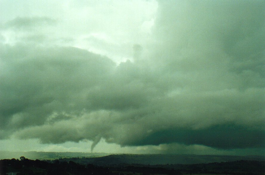
The tornado must have been from 200 to 400 metres in length, up to 50-150 metres wide, and it persisted for a good five minutes (almost all on video) evolving through various contortions, becoming thicker and thinner at times, with other scuds very noticeably wrapping around the funnel. It moved towards the NNW, with the wall cloud maintaining its features for quite some time after the funnel dissipated. I'd say this likely F0 tornado was in the landspout category, with mostly low level vorticity causing it, and the high humidity (DP/temp ~23/26) making it visible.
 3.54pm
 3.55pm
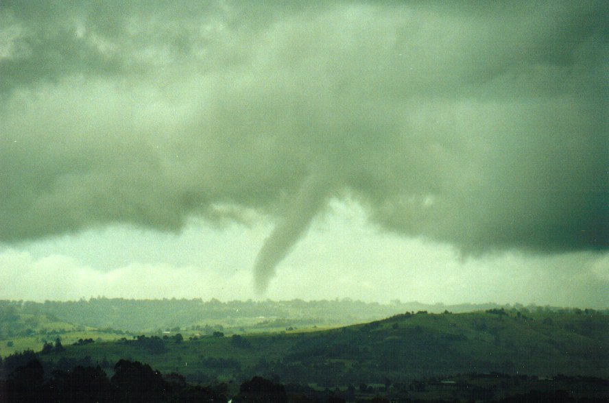 3.56pm
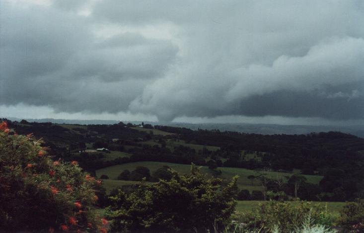
Some additional photos of the tornado taken by Dave Ellem from Wollongbar, approximately 2km SE of McLeans Ridges.
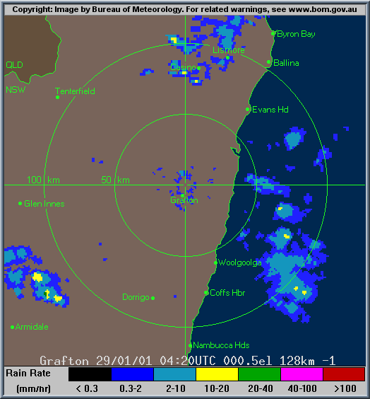
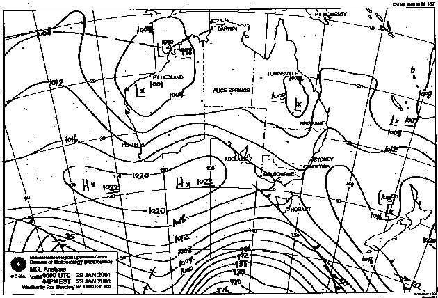
The radar loop is here, not showing anything particularly exciting, but does show a small hook echo just above the 're' in Lismore at 0500z. Maybe just a coincidence.
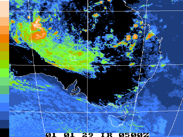
Images from Bureau of Meteorology
|
Document: 200101-02.html
Updated: 26th October, 2001 |
[Australian Severe Weather index] [Copyright Notice] [Email Contacts] [Search This Site] |