and Chasing
[Index][Archives]
The Northern Tablelands Chase: Monday 4th October 1999
by Jimmy Deguara
| Storm News and Chasing [Index][Archives] |
The Northern Tablelands Chase: Monday 4th October 1999 by Jimmy Deguara |
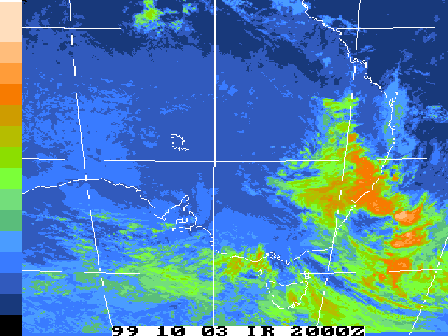
As we headed up the Putty Road, light rain fell but decreased as we headed more into the Hunter, passing Muswellbrook and blue sky began to appear. After a fuel stop at Aberdeen, we headed over the Murrurundi Range and bingo - storms. The storms were already developing in a line well west ino the northwest plains.
Since the storms were developing in a line, my decision was to target the Northern Tablelands. However, although I got somewhat excited when we got to Glen Innes, we could see the storms were featureless and non-photogenic. Even the two solid lightning bolts couldn't spark any excitement.
I decided we should travel on to Tenterfield in the hope of getting into some clear sky areas and some fresh convection. We passed through some very heavy rain as the thunderstorms tracked southeast. About 15 kilometres before Tenterfield, we saw a break and the edge of an intense precipitation cascade patch. Matt Smith took a few minutes of video of this as it raced over and became obscured by the heavy rain and the different angle.
In Tenterfield, we observed the cold air type of activity over the border and this storm we had just passed through. 800 kilometres and the chase was over. The two chasers stood there feeling cold and cheated.
Reflecting back at the chase, there were some reasons why the action did not go according to plan.
Unfortunately, at this stage, we must rely on the models and what limited information we have available. The indicators were there for severe weather but the situation had changed within 12 hours. Documentation of even more chases under various situaions will help chasers judge the models in future. Until then, we have to expect that not all chases will be successful.
Matt understandably went through the bust chase emotions which I have seen and experienced in the past. Even though I was disappointed, I have now come to the stage that you win some and you lose some: perhaps one of the reasons that you become more determined. I would like to thank Matt for being a chase partner on this trip and Michael Bath for his kind hospitality and internet support. It was great meeting him once again.
|
Document: 9910-02.html
Updated: 13th January, 2003 |
[Australian Severe Weather index] [Copyright Notice] [Email Contacts] [Search This Site] |