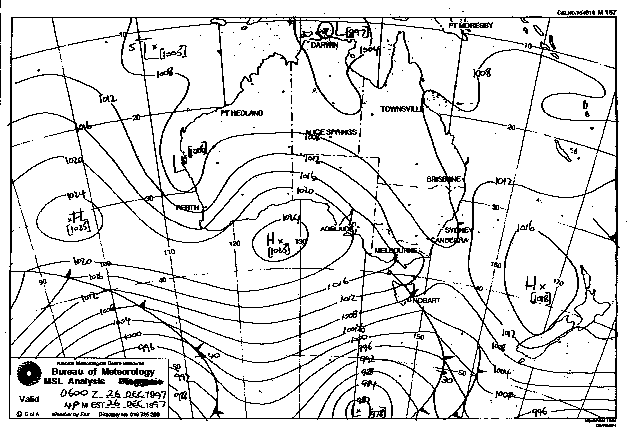
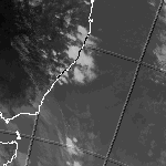
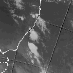
A number of medium cells developed during the day of December 26 1997. As a result a number of brief but heavy showers ensued during the course of the afternoon. This all seemed to clear quite nicely around 7pm, so I drove over to Nelson Bay to buy tea. On the return trip I said to my friend that it looked like a very severe thunderstorm was appoaching from the South West. This storm had the appearance of a Supercell with well defined cloud structure. The storm approached the Salamander/Soldiers Point area just about 8.30pm with continuous lightning and torrential rain (approx 100mm in 1 hour). It reminded me of Wet Season storms in the Darwin area. This was followed by another less severe cell around 10pm.
Synoptic Charts & Satellite Imagery
This image obtained from the Bureau of Meteorology
Infrared Satellite Image at 5pm and 11pm Local Time


This image obtained from the Bureau of Meteorology
MSL Analysis 5pm Local Time
