[Index]
Observing fog, mist, frost and dew
[Back to introduction of simple techniques]
| Observation Techniques
[Index] |
Observing fog, mist, frost and dew [Back to introduction of simple techniques] |
|
Observing fog, dew, frost and mist may seem unimportant for some people. However, knowledge
of these weather phenomenon can be useful and for some people crucial. For each to form, there must be the appropriate conditions to achieve condensation, (and
sometimes sublimation in the case of frost).
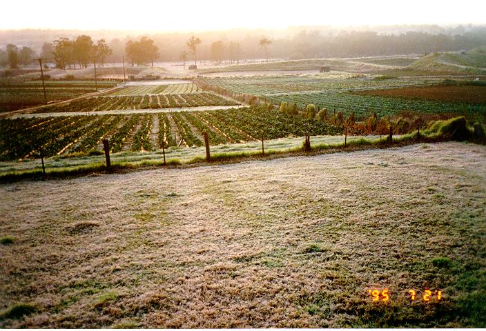
It is a very common thing to see fog in the morning over the ocean that dissipates as sun comes up. Many boaters often wait to travel when the fog is thick, especially when cruising long distances in an expedition yacht. Another interesting phenomenon is sea smoke, which is essentially mist above the water that is moved by the wind.
Fog and dew can be measured despite the fine size of the water droplets. The dew gauge is used to measure the light droplets through weight.
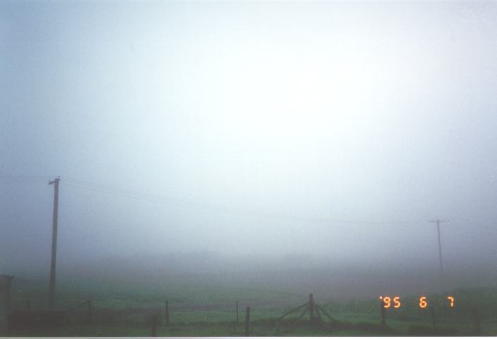
Fog
does not necessarily have to be uniform, or widespread. Some areas may have thick
fog whilst others may miss out completely. From
a distance, fog is observed to be similar to a cloud on the ground especially
when it is thick. Mist
is similar to fog except it may appear more ragged and forms on rainy days with
the air saturated due to the amount of moisture. Mist is more common in mountainous
and forest regions.
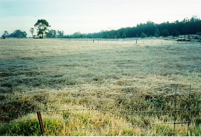
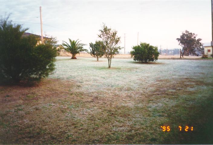
Dew
is moisture that condenses at the ground level. The layer of air within about
a metre above the ground experiences rapid changes in temperature from day to
night. Therefore the temperature may be cooler on the ground than the air above.
Consequently, the air temperature close to the ground may cool to below the level
needed for condensation. Moisture therefore is observed on grass and on the surface
of some objects such as those with metal surfaces. If the air above also cools
below the condensation level, fog will form.
Dew, fog and frost typically form under conditions
of light winds unless conditions are extremely cold. Wind causes turbulence and
hence mixes air above the surface to air at the surface. It is therefore common
for areas with little or no sloping to receive more frost and fog than adjacent
areas with steep slopes. Air at night usually moves much slower than during the
day. However, areas with steep slopes normally have wind flowing down hill on
what should be a calm night elsewhere. This air movement may be sufficient to
prevent frost and fog forming. |
|
Document: fogdew.htm
Updated: 20th March 2008 |
[Australian Severe Weather index] [Copyright Notice] [Email Contacts] [Search This Site] |
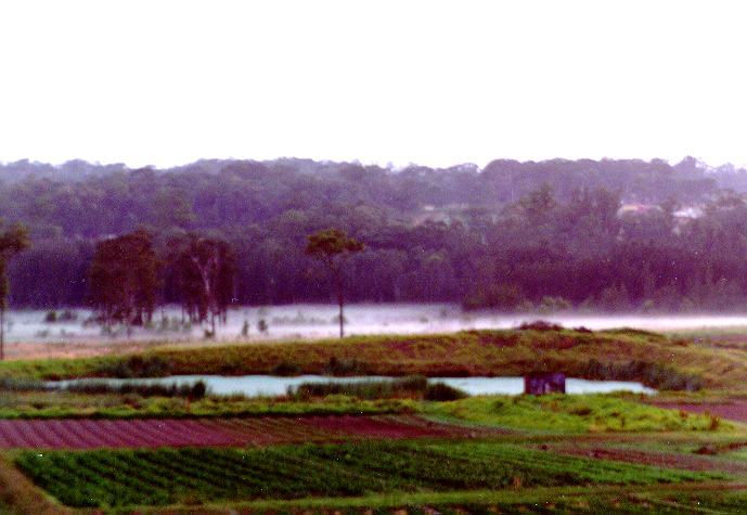
 If
the air is sufficiently warmed by the sun to raise the temperature above the temperature
level needed for condensation or if wind begins to blow, the fog will begin to
break into patches. It may rise to higher level in the form of fast moving low
clouds and eventually clear.
If
the air is sufficiently warmed by the sun to raise the temperature above the temperature
level needed for condensation or if wind begins to blow, the fog will begin to
break into patches. It may rise to higher level in the form of fast moving low
clouds and eventually clear.