and Chasing
[Index][Archives]
Isolated Supercell Advances Through the Northern Rivers: Thursday 14th December 2006
by Michael Bath
| Storm News and Chasing [Index][Archives] |
Isolated Supercell Advances Through the Northern Rivers: Thursday 14th December 2006 by Michael Bath |
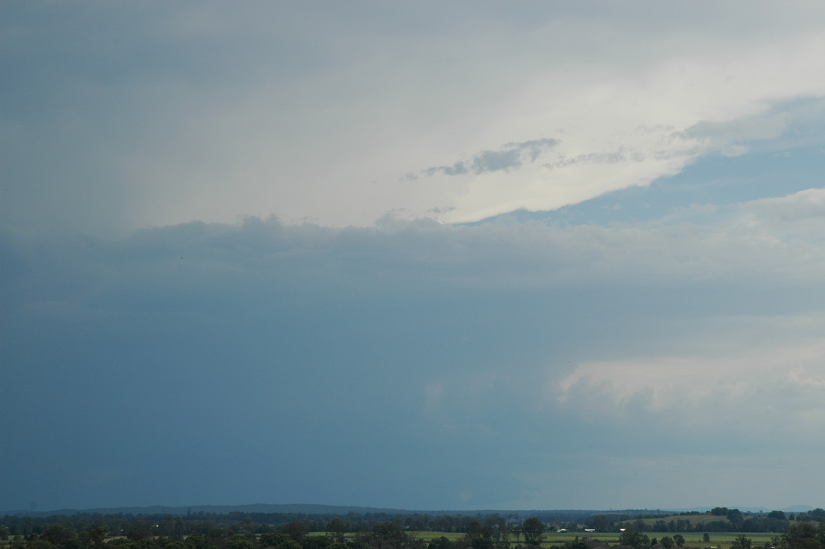
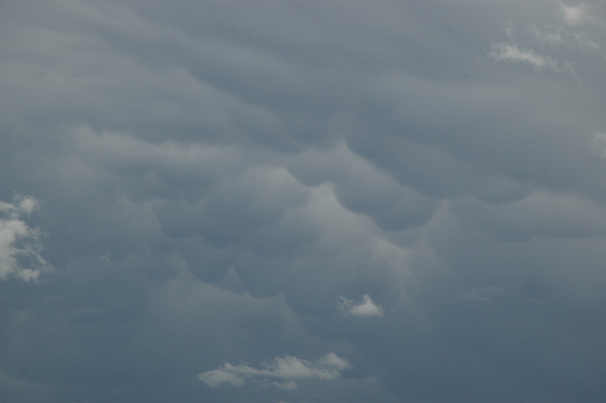
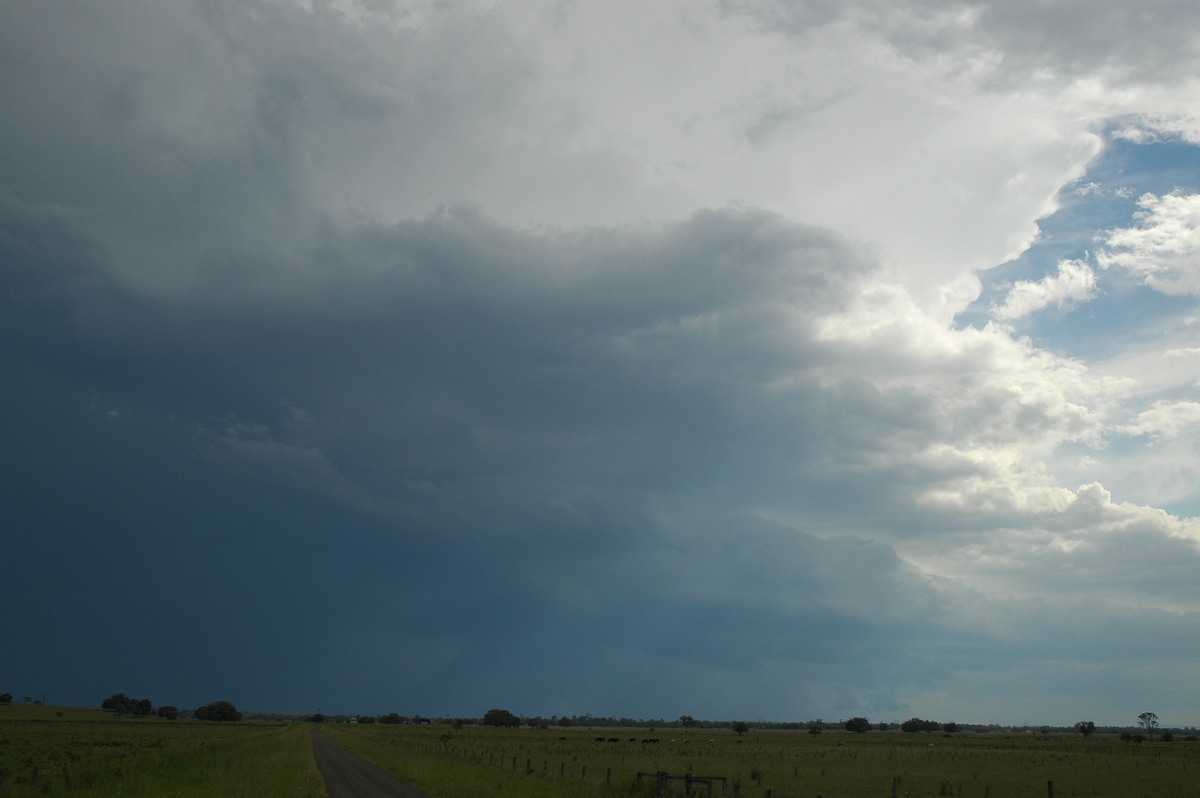
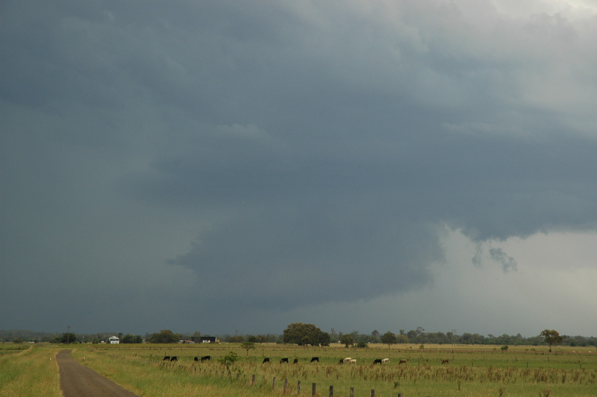
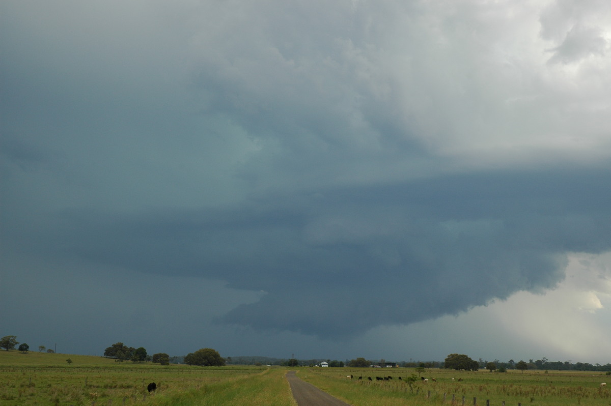
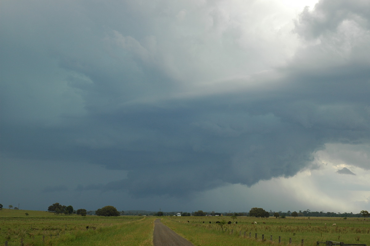
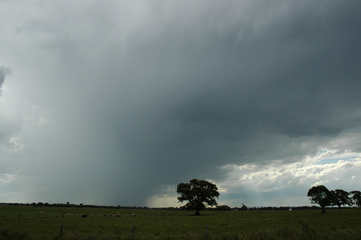
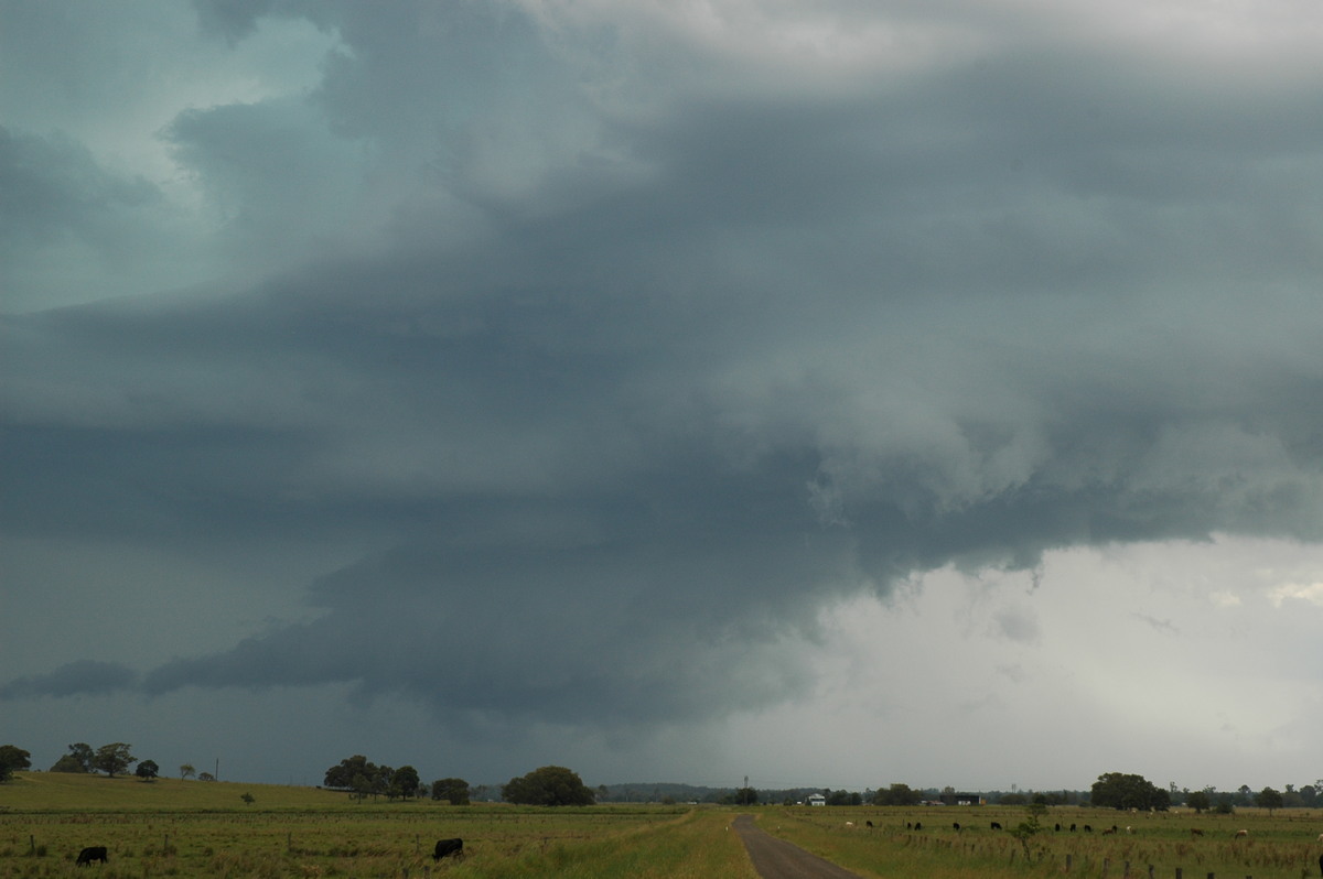
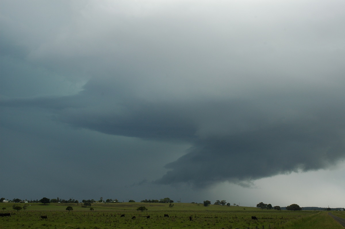
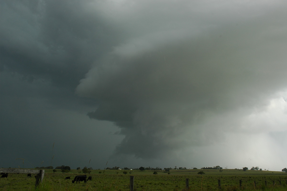
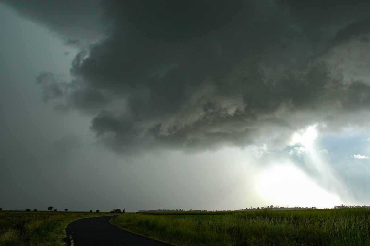
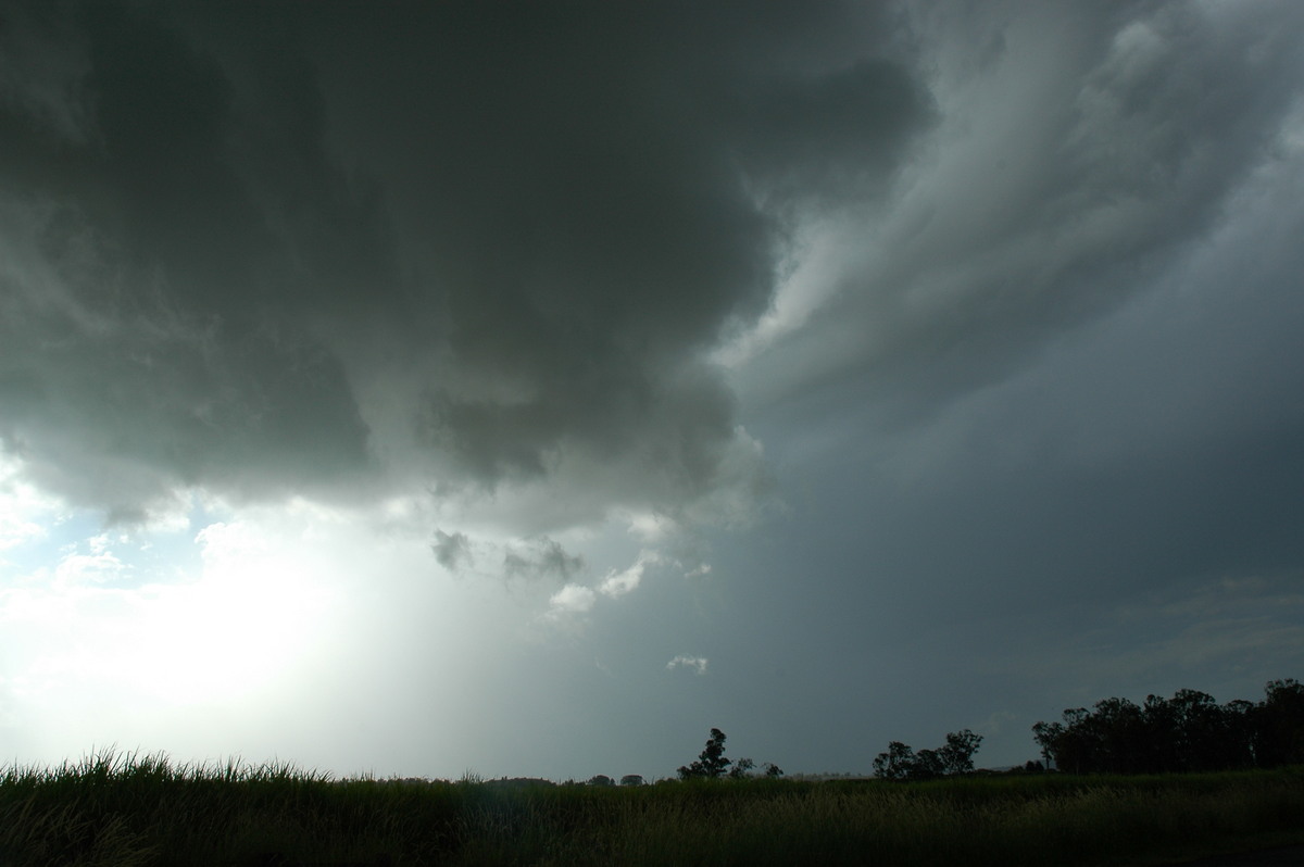
Some valley fog at first. Very warm to hot and mostly sunny with fresh northerly winds. Some altocumulus and cumulus about. A supercell thunderstorm developed south of Grafton about 1pm and tracked to just south of Lismore before dissipating about 5.30pm.
Spectacular features and lightning on its approach with very obvious base rotation observed at McKees Hill while on chase.
Other weaker cells eventually developed close to the supercell and eventually cut off its energy. Clear by evening.
Discussion about this event can be found in the Australian Severe Weather Forum
More weather photos for this event can be found in the Photo Catalog
|
Document: 200612-02.htm Updated: 7th January 2007 |
[Australian Severe Weather index] [Copyright Notice] [Email Contacts] [Search This Site] |