and Chasing
[Index][Archives]
Northern Rivers Storm Outbreak Part Two: Tuesday 25th to Friday 28th October 2005
Report compiled by Dave Ellem and Michael Bath
| Storm News and Chasing [Index][Archives] |
Northern Rivers Storm Outbreak Part Two: Tuesday 25th to Friday 28th October 2005 Report compiled by Dave Ellem and Michael Bath |
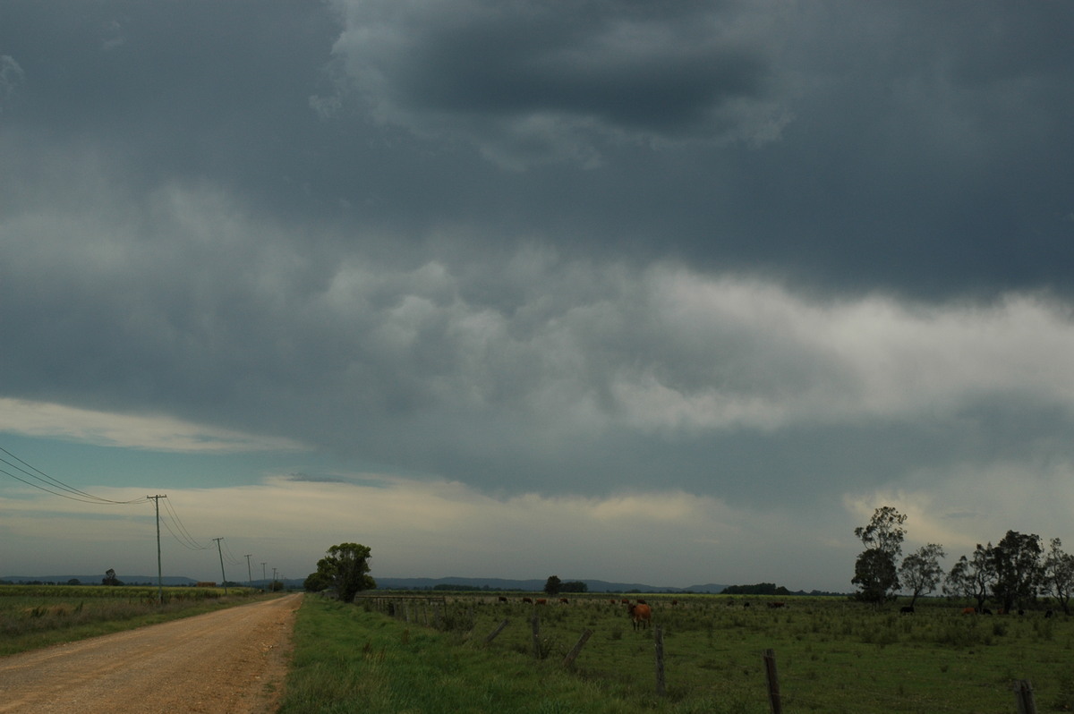
Tuesday October 25th
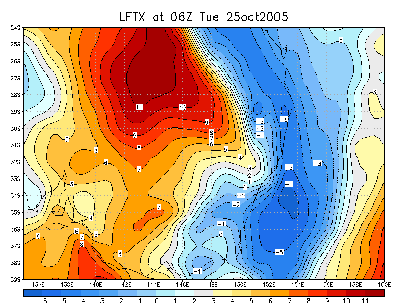
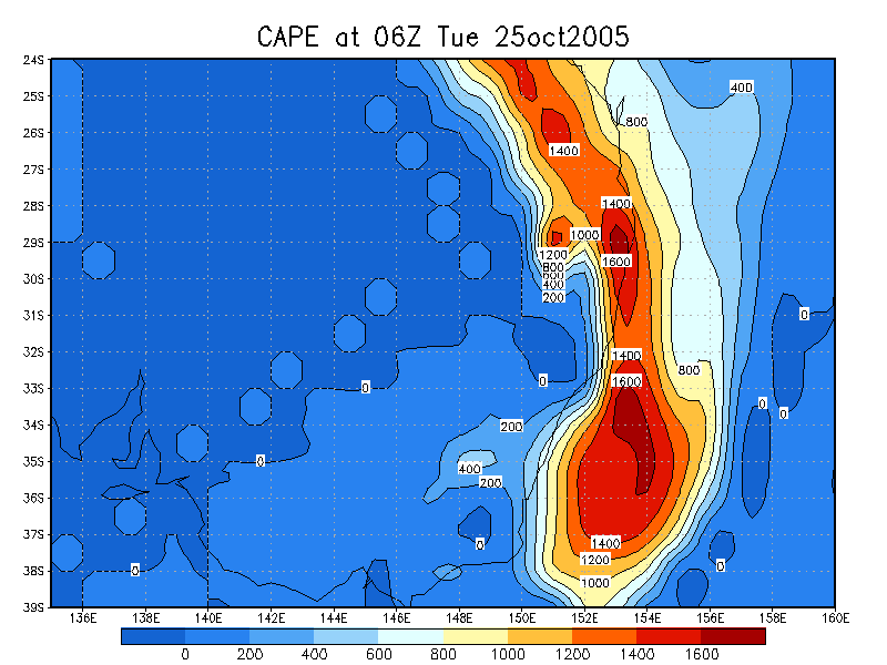
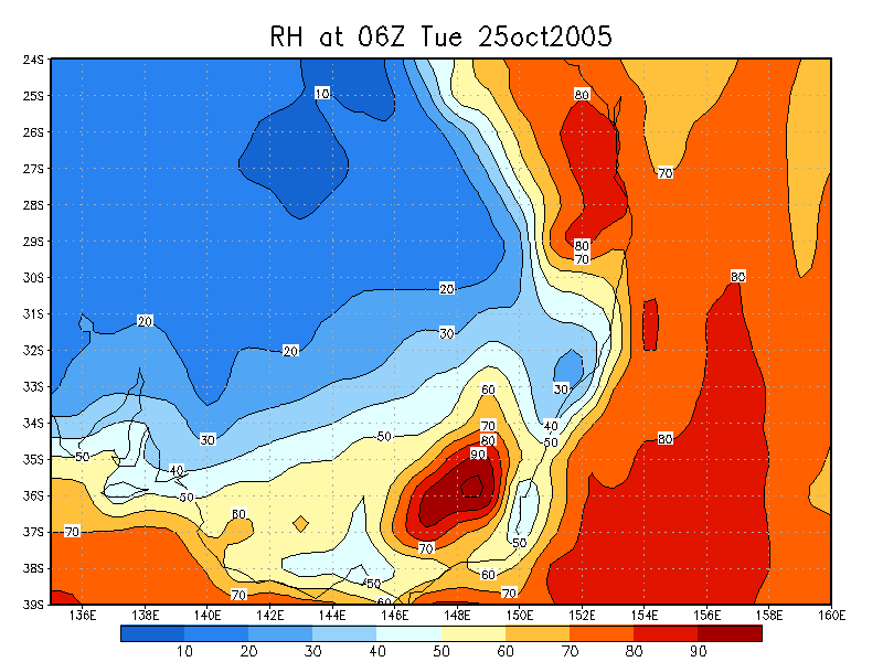
It was another mixed bag setup - good instability (CAPE around 2000), great
speed shear and turning in the low levels, however it looked as though there
was perhaps a slight lack of moisture, along with weaker shear in the mid and
upper levels. There was also a bit of capping to contend with, but temps over
30C with DPs in the high teens/low twenties ensured this should be overcome.
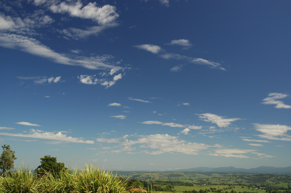
The sky remained mostly clear during the morning, with cumulus clouds bubbling
away till after lunch, when some bigger development began to take place on the
ranges. Michael, Ray Mullens and myself decided to head out after 2pm to somewhere
between Casino and Kyogle. Storms were expected to head SE again, so anything
that formed on the Border Ranges NW of Kyogle was ideal. On the drive out cells
were popping up to our S and NW. While the ones to the S looked nice, they were
out of reach once again. We stopped near the intersection of the Summerland
Way and Lismore-Kyogle road to watch some good looking development to our NW.
A CG was observed not too long after arriving, and was met with much chaser
excitement!
Sadly, this cell collapsed around 4pm, and we were left waiting for more development.
We decided to head to a favourite lookout at Kyogle. Nice cells to our SSE were
teasing us during the tedious wait for more development to our NW. From 4.30pm
onwards, Cjs, quite strong at times, would punch up to our N and NW, but much
to our frustration, the cells just could not get going. It almost seemed as
though it was too dry. Of course the storms near the coast to our SE looked
huge!

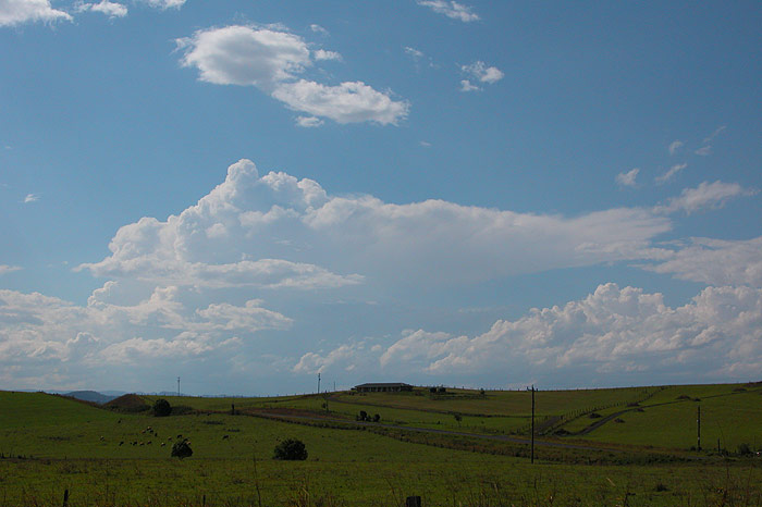
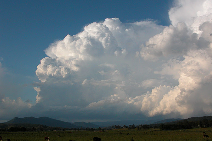
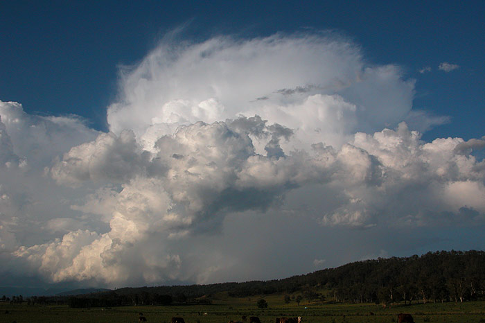
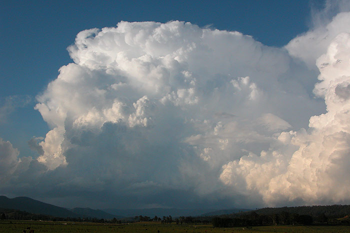
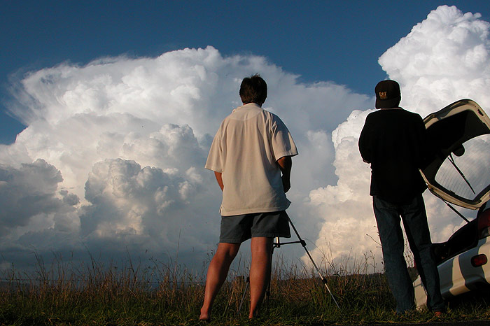
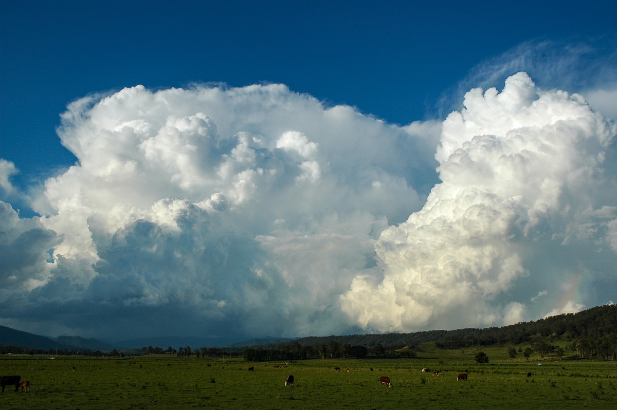
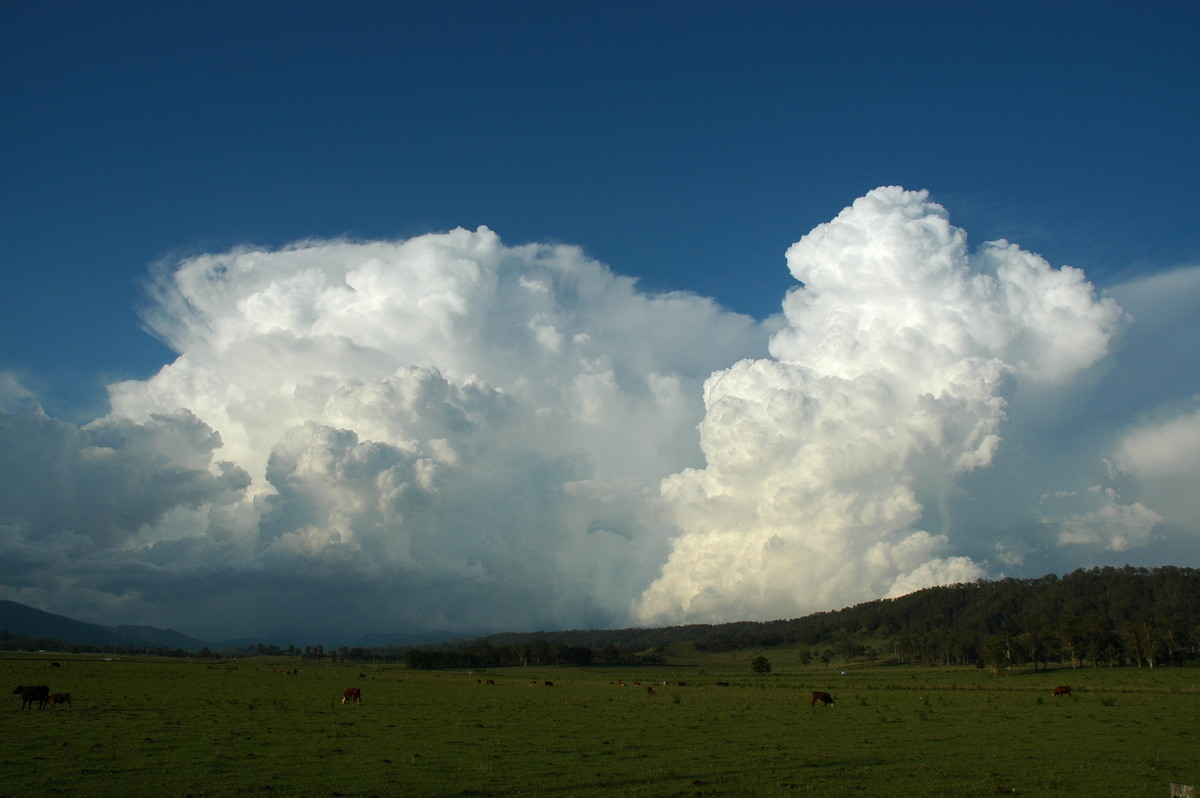
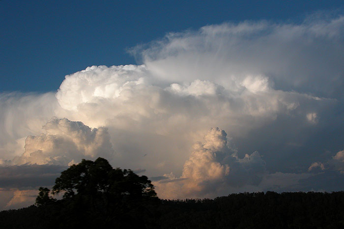
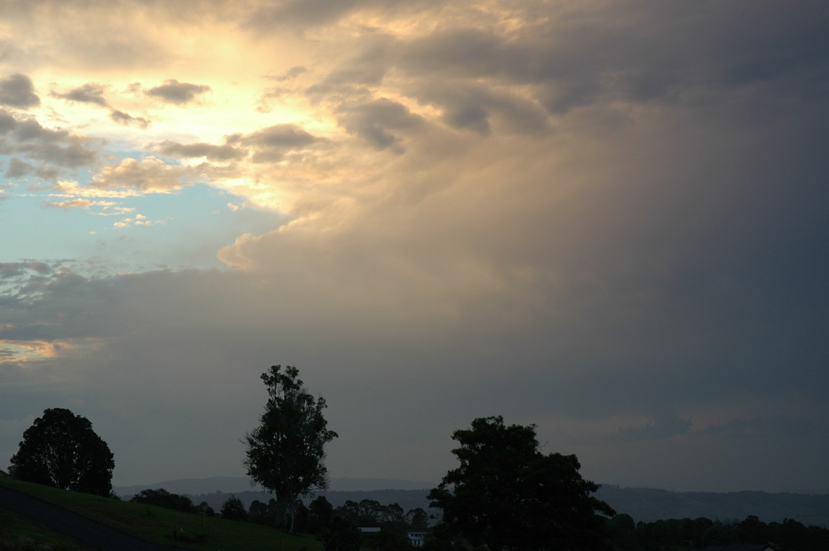
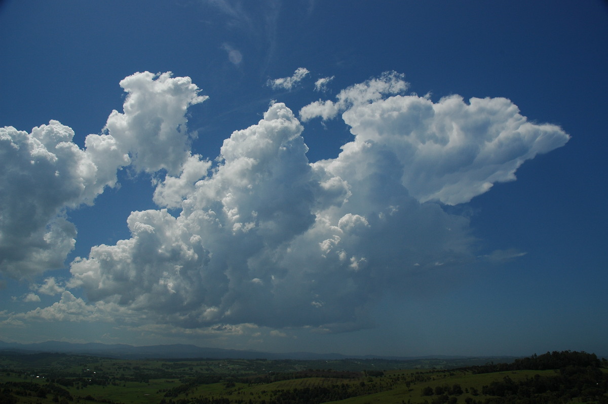
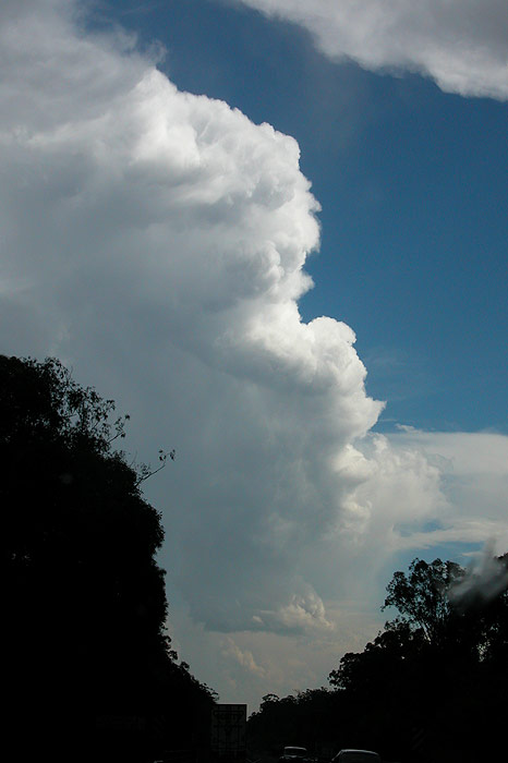
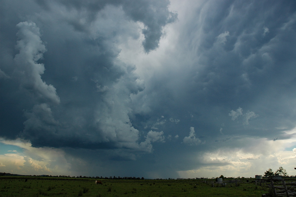
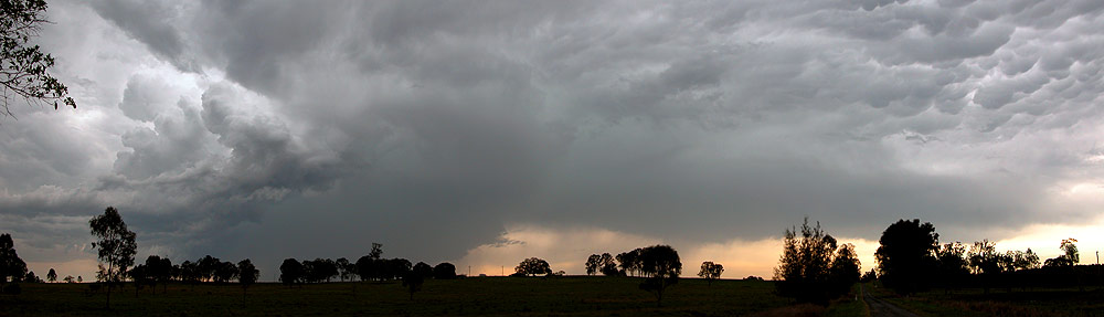
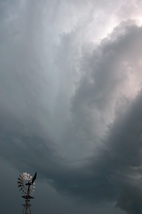
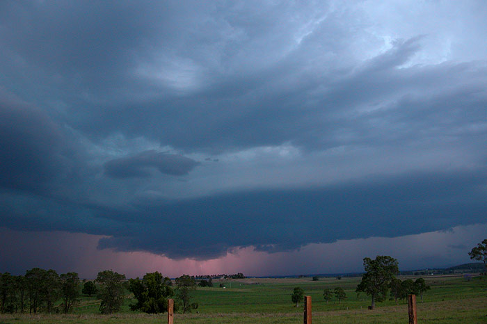
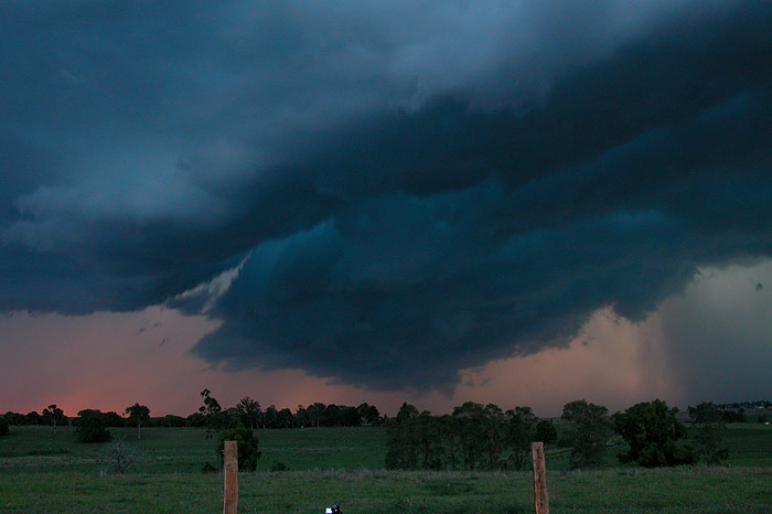
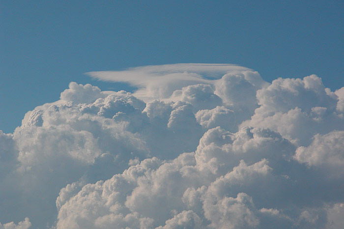
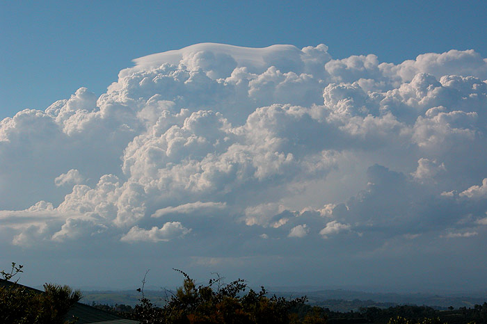
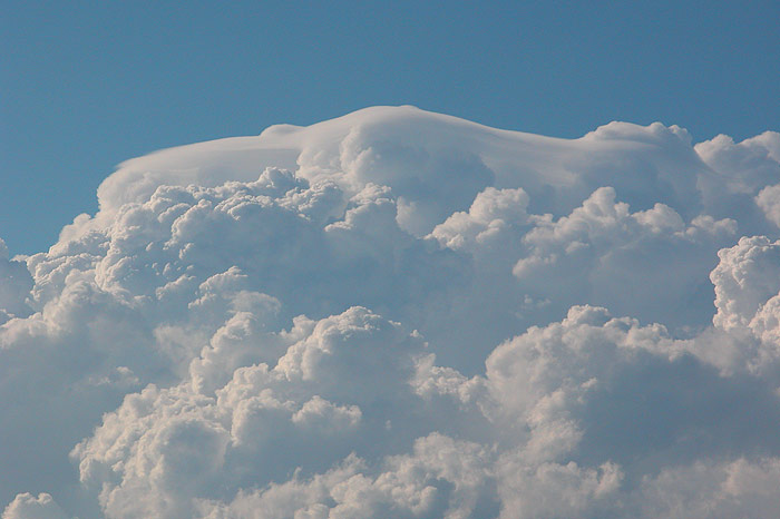
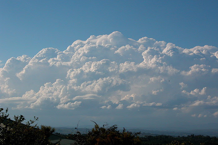
At around 5.30 pm our test of patience finally paid off. The convection which
had bubbled for hours finally managed to push to new heights - above the 10km
mark! As clear air CGs began to appear and the storm began to produce a nice anvil,
we decided to head N of Kyogle to get a little closer.
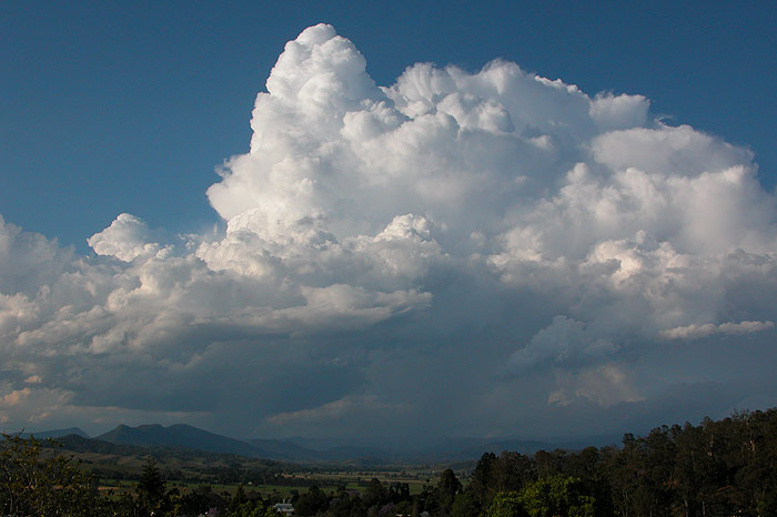
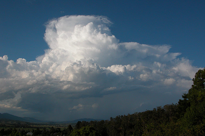
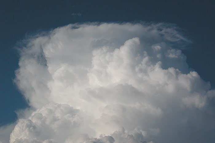
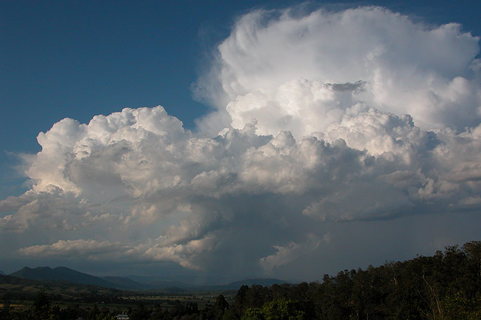
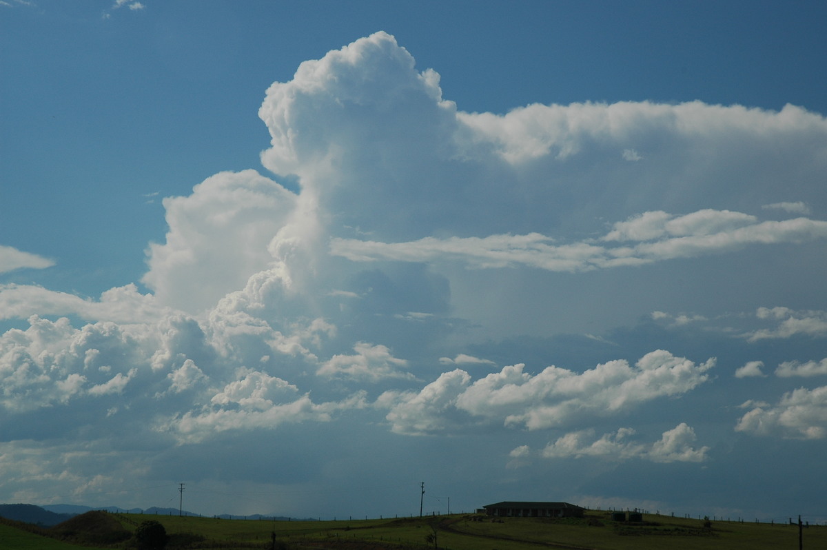
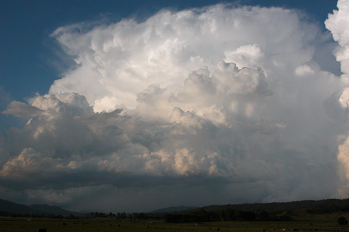
Within the space of a few minutes, another cell just NW of the one which had first
taken off exploded. The short time it took to grow into a fully fledged cumulonimbus
cloud was unbelievable! We stopped in a clearing just N of town and watched in
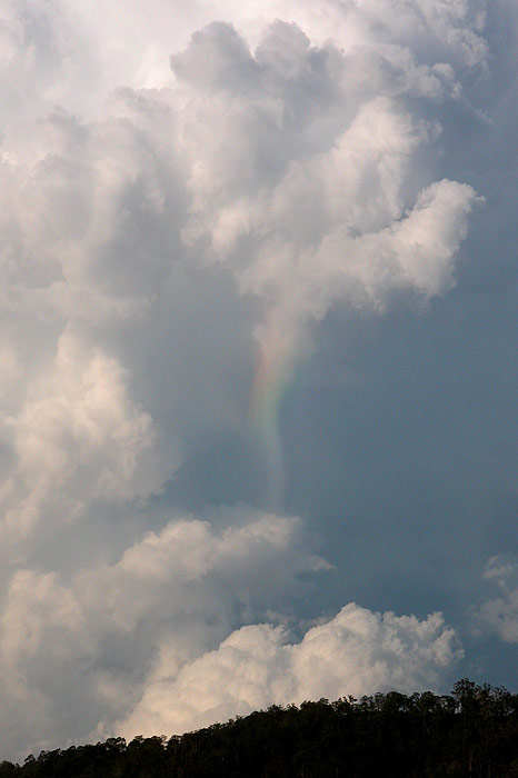
awe at the powerful convection around 10km north of us. Clear-air CGs, hailshafts
with rainbows, base lowerings, corkscrew updrafts, anvil knuckles�what more could
you want!!
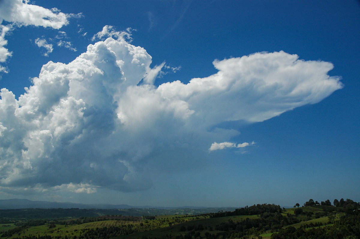
The temptation to get ahead of the storms to see what base features they were
producing was too great, so we headed back the way we came with the aim of getting
to Lismore and heading NE to intercept the cells. I had the camera out the window
numerous times on the drive, still impressed with some of the updraft and anvil
structure - especially with the late afternoon colours!!
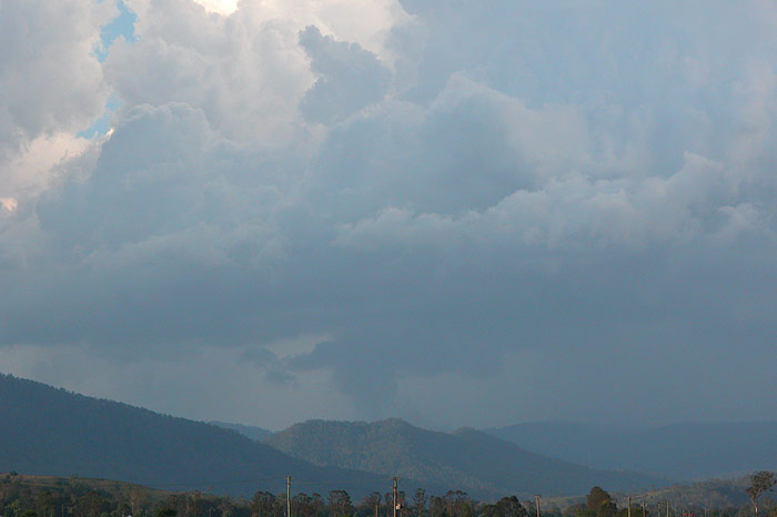
The cell seemed to be heading E, which again was the wrong direction for us
(a feature of this storm outbreak!), but it soon weakened after we got to Lismore.
We called it quits for the afternoon, however convection was still developing
in all directions after sunset - always a great sign that storms will continue
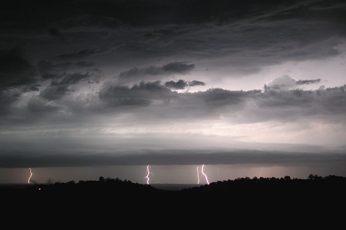
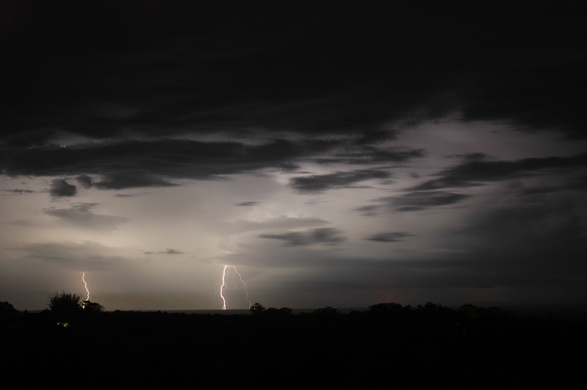
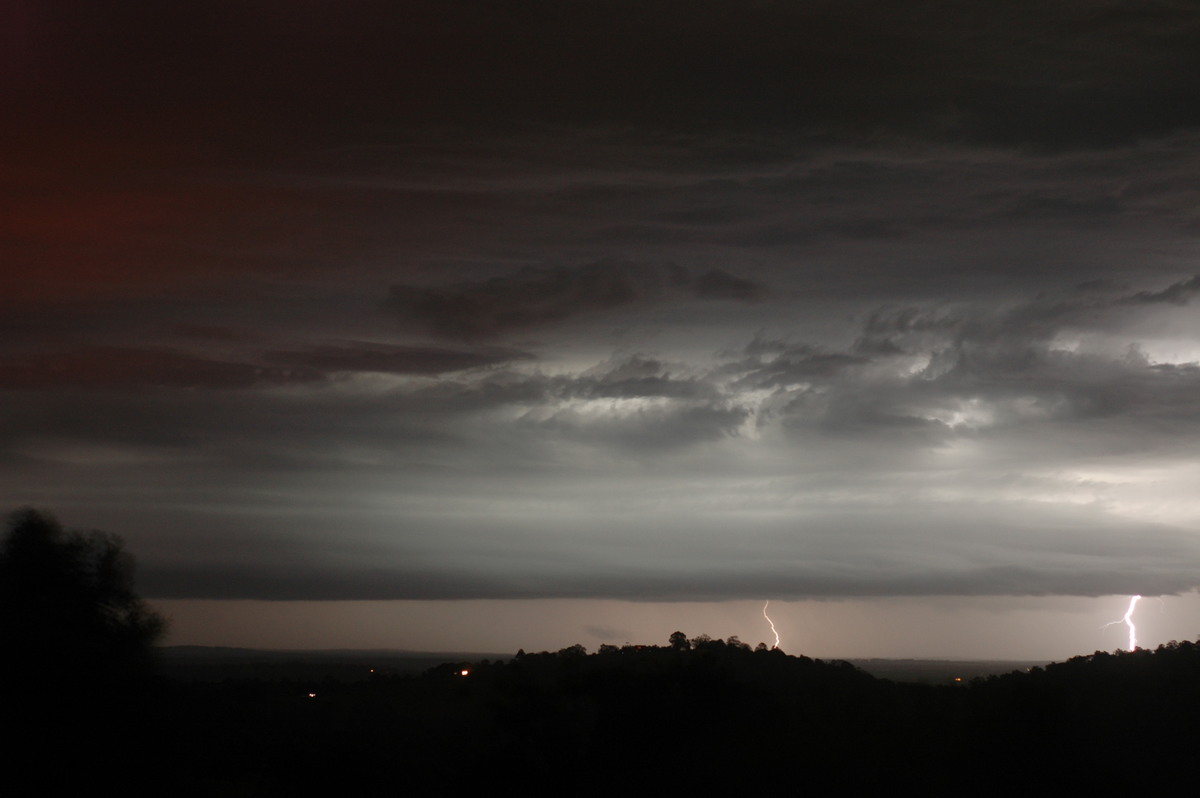
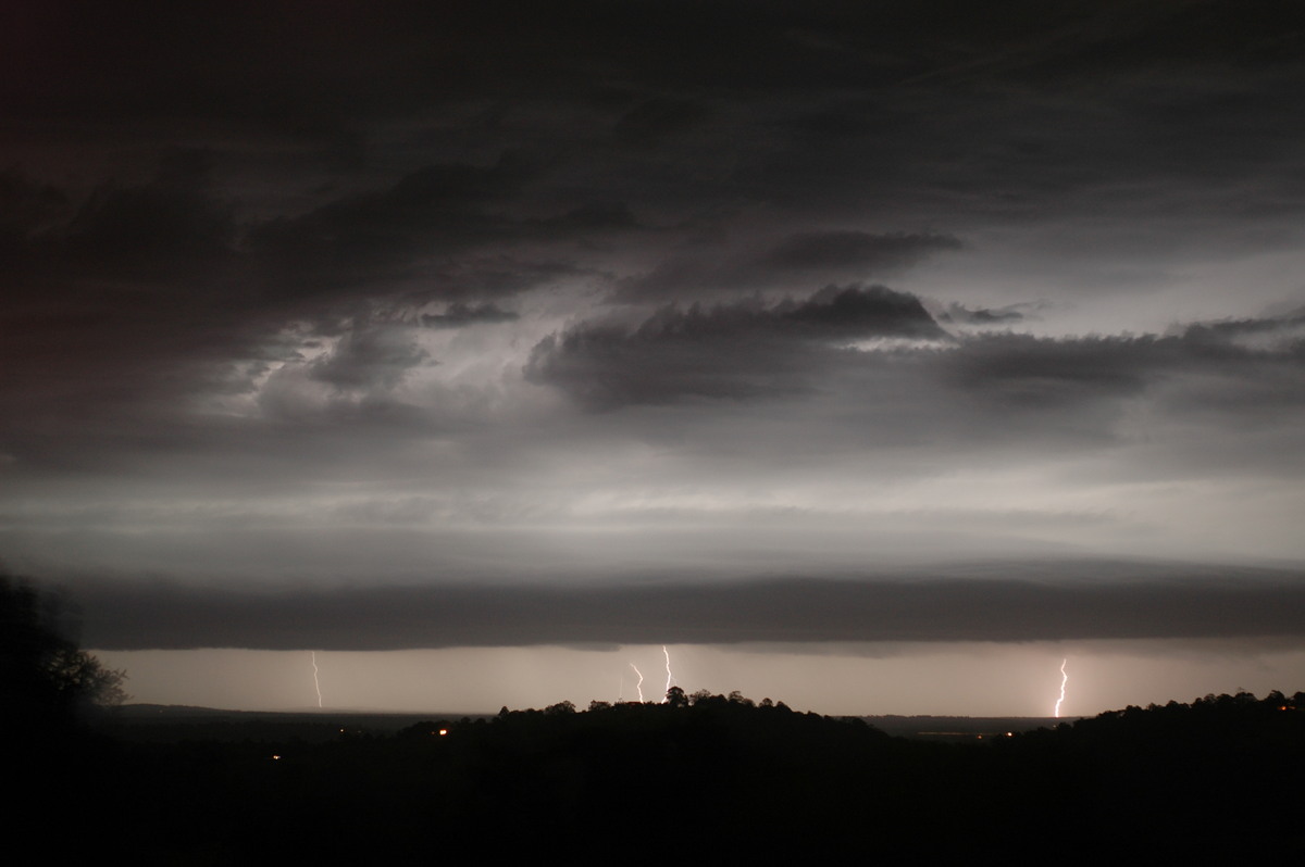
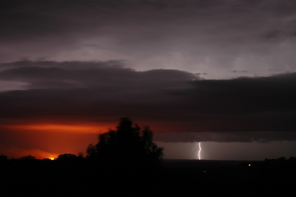
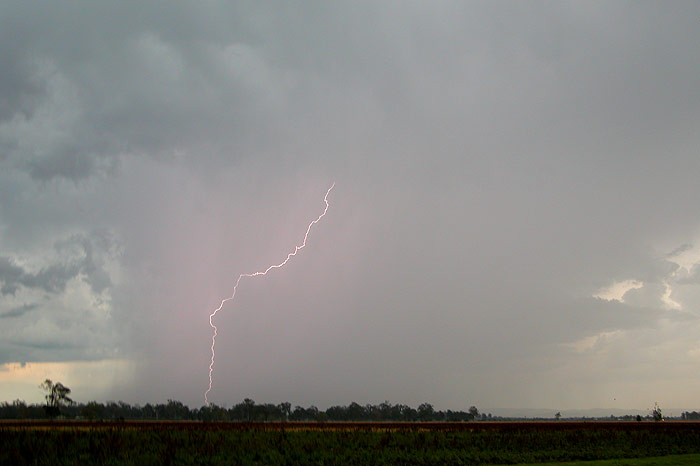
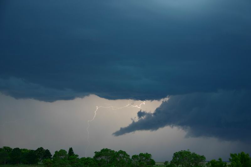
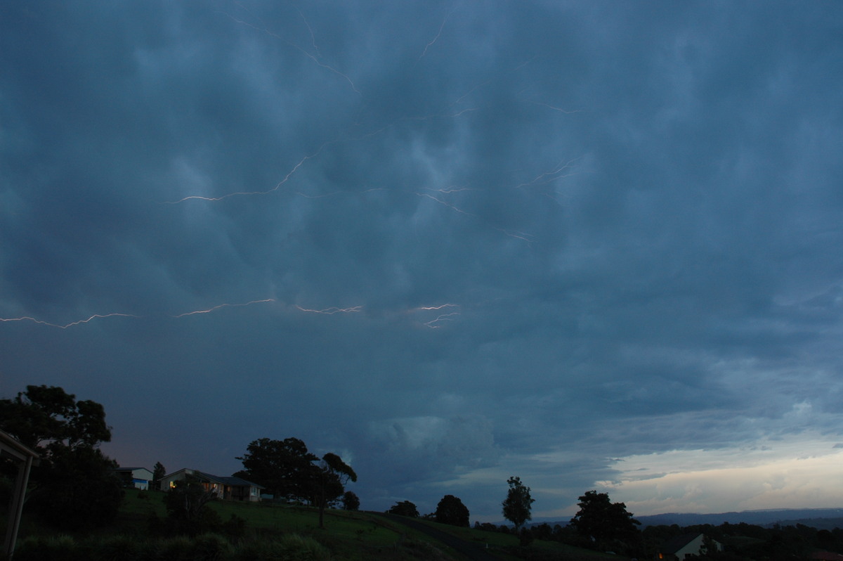
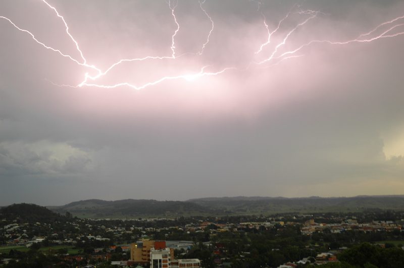
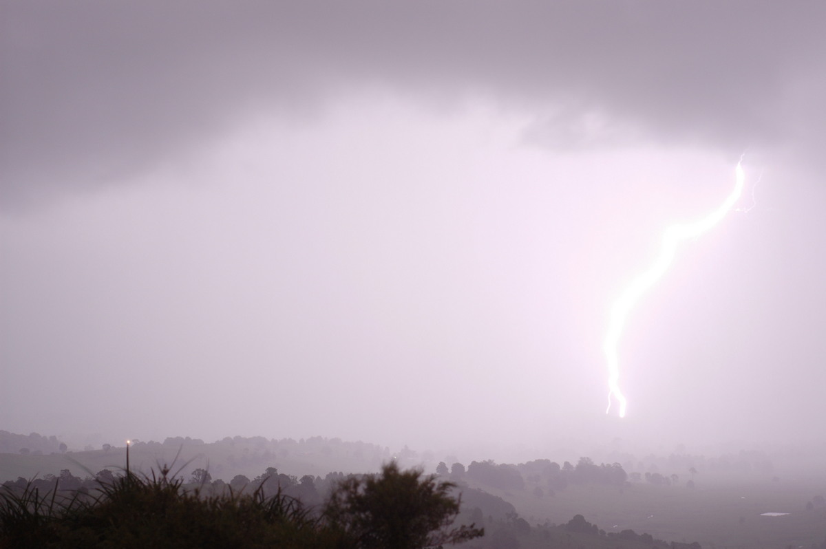
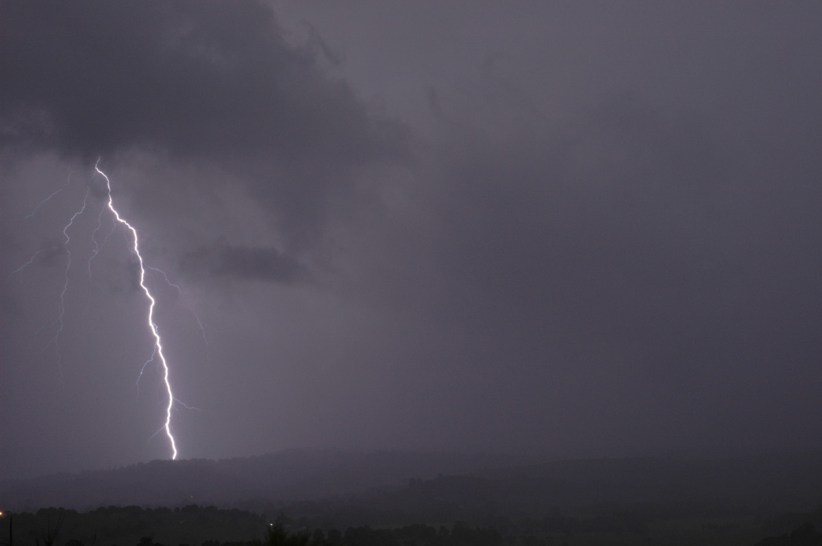
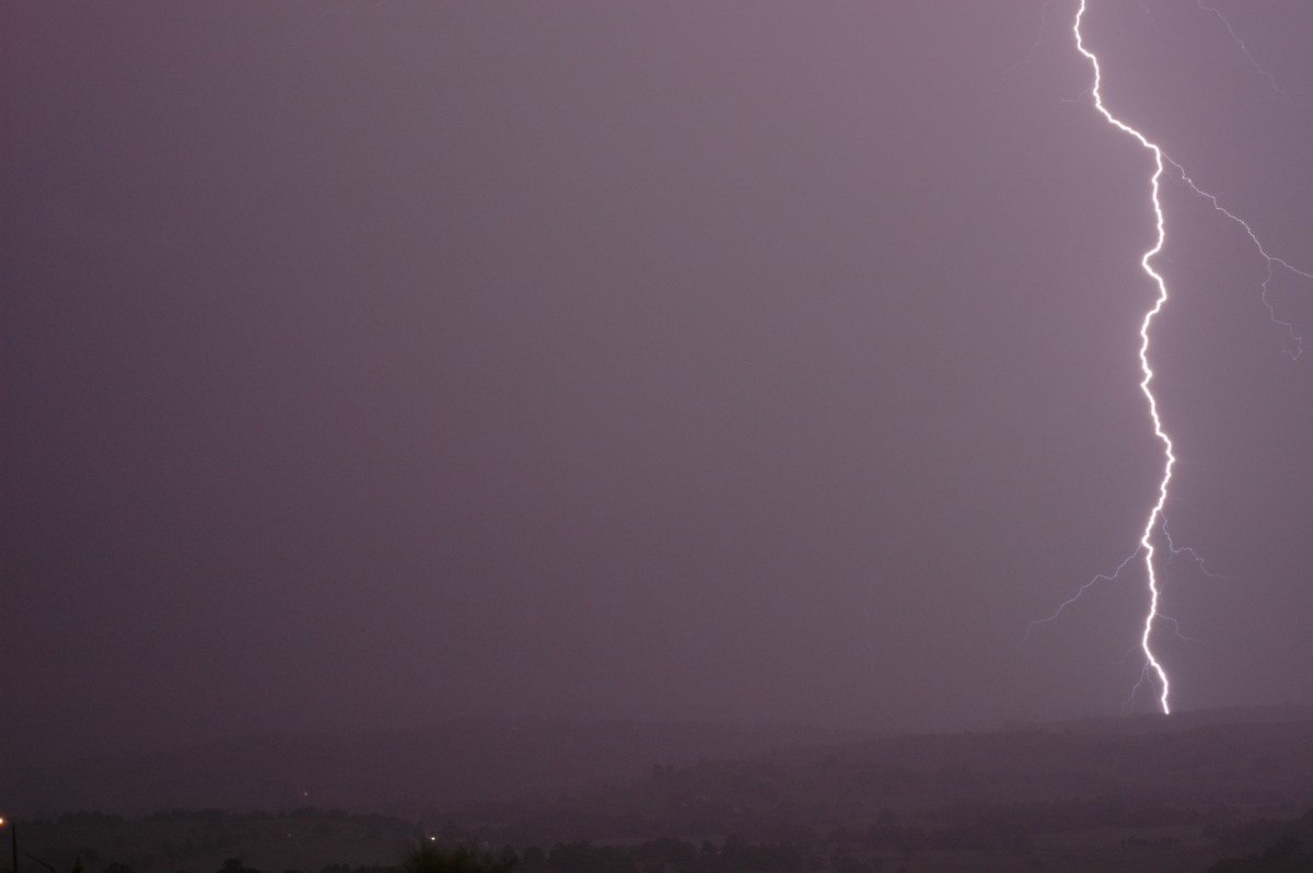
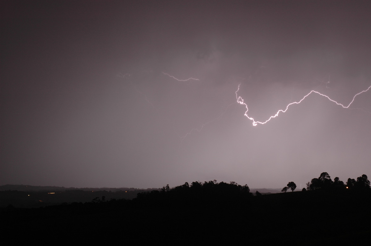
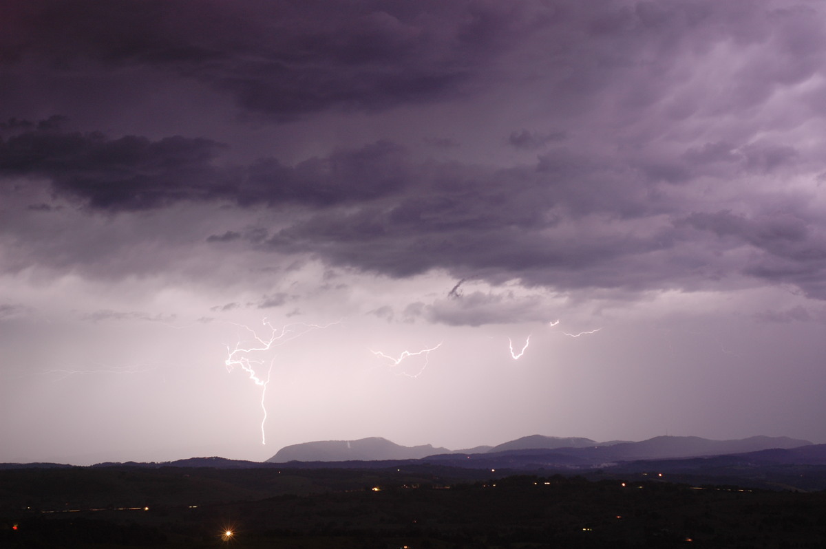
into the evening and produce lightning. At around 7.30pm, near constant lightning
from a line of cells to our NW round to our SE tempted Michael and I to head
to Tregeagle for a look. We setup the cameras to photograph the lightning, however
NE winds of around 30kn were making it really difficult to keep the cameras
from blowing away! So we moved to a less windy position and set the car up as
a wind break, with our cameras on the SW side. There we proceeded to take lots
of lightning photos over the next couple of hours, with Rodney rocking up halfway
through the show for some photos too!
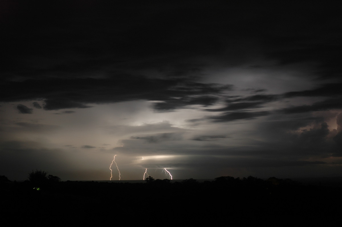
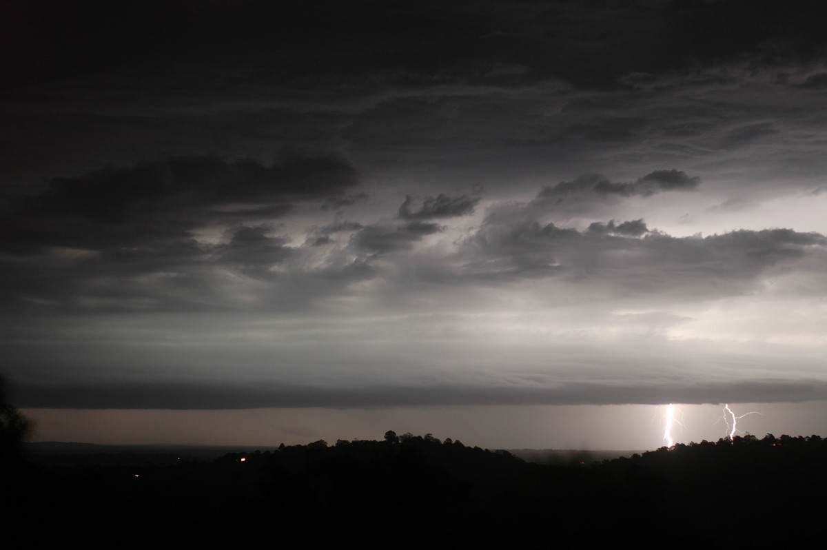
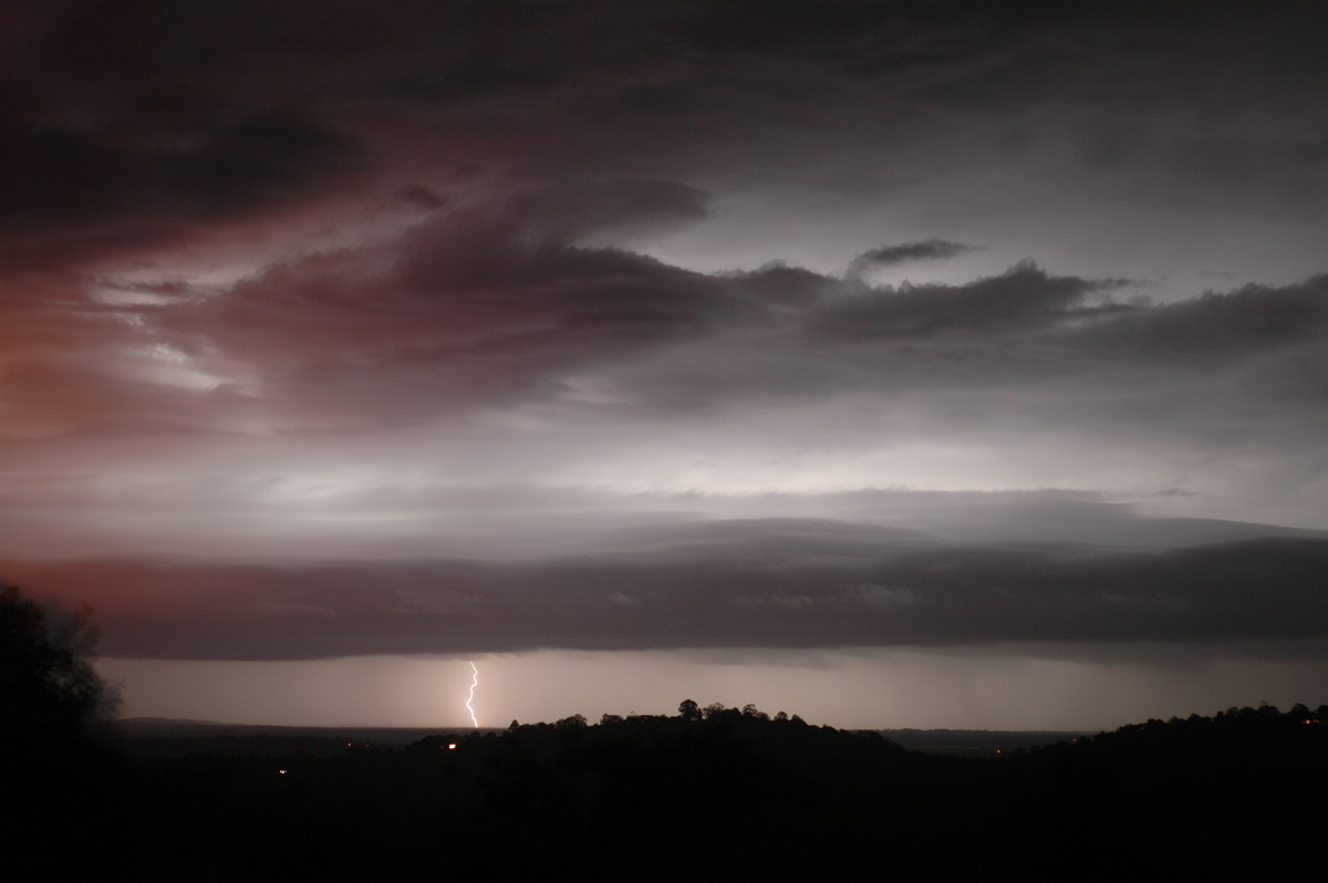
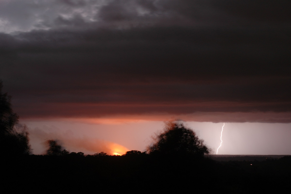
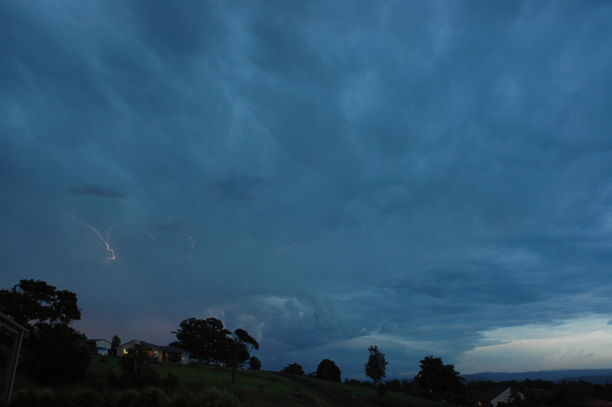
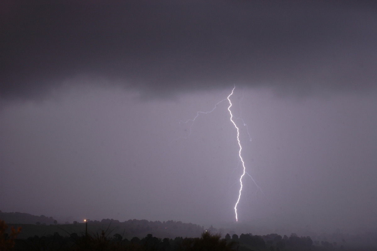
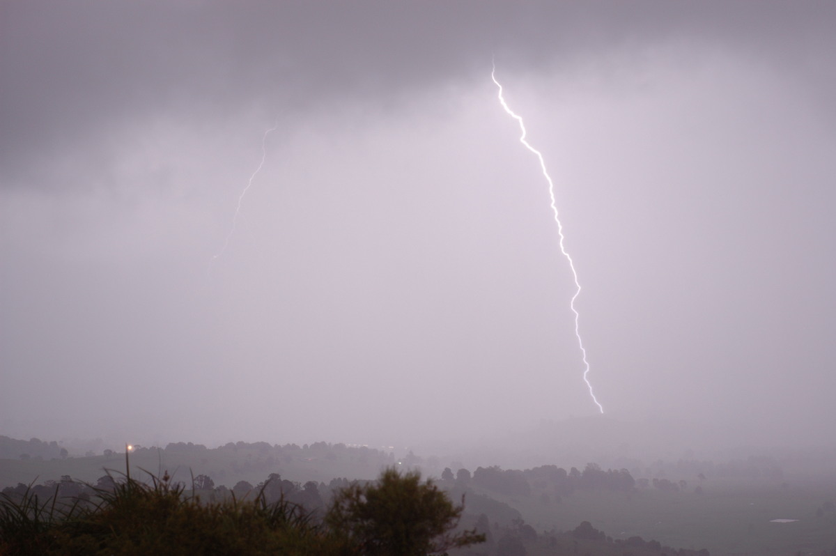
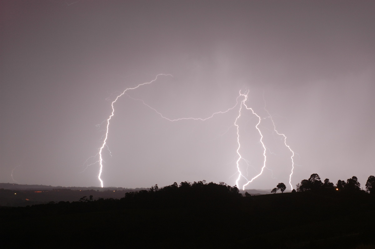
Around 9.30pm Michael and I headed back to his place. On the drive back several
CGs occurred within a few kilometres, so we decided to setup the cameras again
at his place. As we were, a CG hit within about 1km of the house right in the
valley in front of us!! It made an impressively loud bang!! Rain soon moved
over and I decided to call it a night, as I was pretty exhausted and had to
get up to do a uni exam in the morning!
Wednesday October 26th
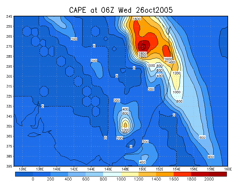
Instability was a little less than the previous day, with -4 LIs and CAPE around
1200 in the Northern Rivers. Moisture and a bit of cloud was also a problem. There
was a slightly stronger cap, and shear was on the weak side. Not surprisingly,
storms mostly developed on the ranges to the SW, W and NW, and didn't really move
much. Some lightning was observed to the NW around dusk, but no chases took place
and only one photo was taken of a cell in the evening!
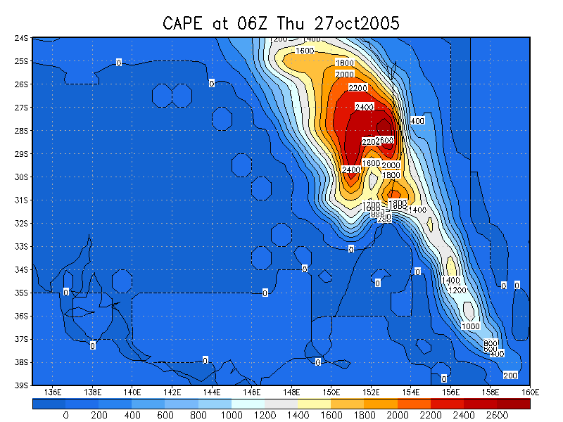
Thursday October 27th
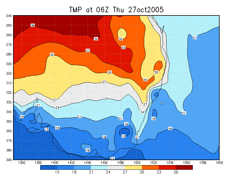
Fellow chasers had been harassing me for almost 7 days to look at the LI and
CAPE forecast charts for this day because of the huge instability it was hinting
at. I hate looking at the models more than 24-48 hours at as it often seems so
unreliable! As it turned out though, the LI values this day were around -6 to
-8 over the region, with CAPE values around 2500. Days with instability figures
like that can be quite memorable, with powerful storms often developing as a result
of the high levels of energy available. So there was plenty of excitement this
day. Of course, it seems that no storm setup is perfect, and shear was the one
area that looked less than ideal. While there was excellent turning in the low
levels, it seemed as though storms were going to struggle to move very fast. Still,
high CAPE setups do tend to reduce the need for shear for severe storms to develop,
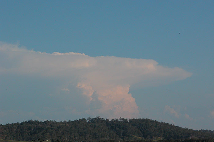
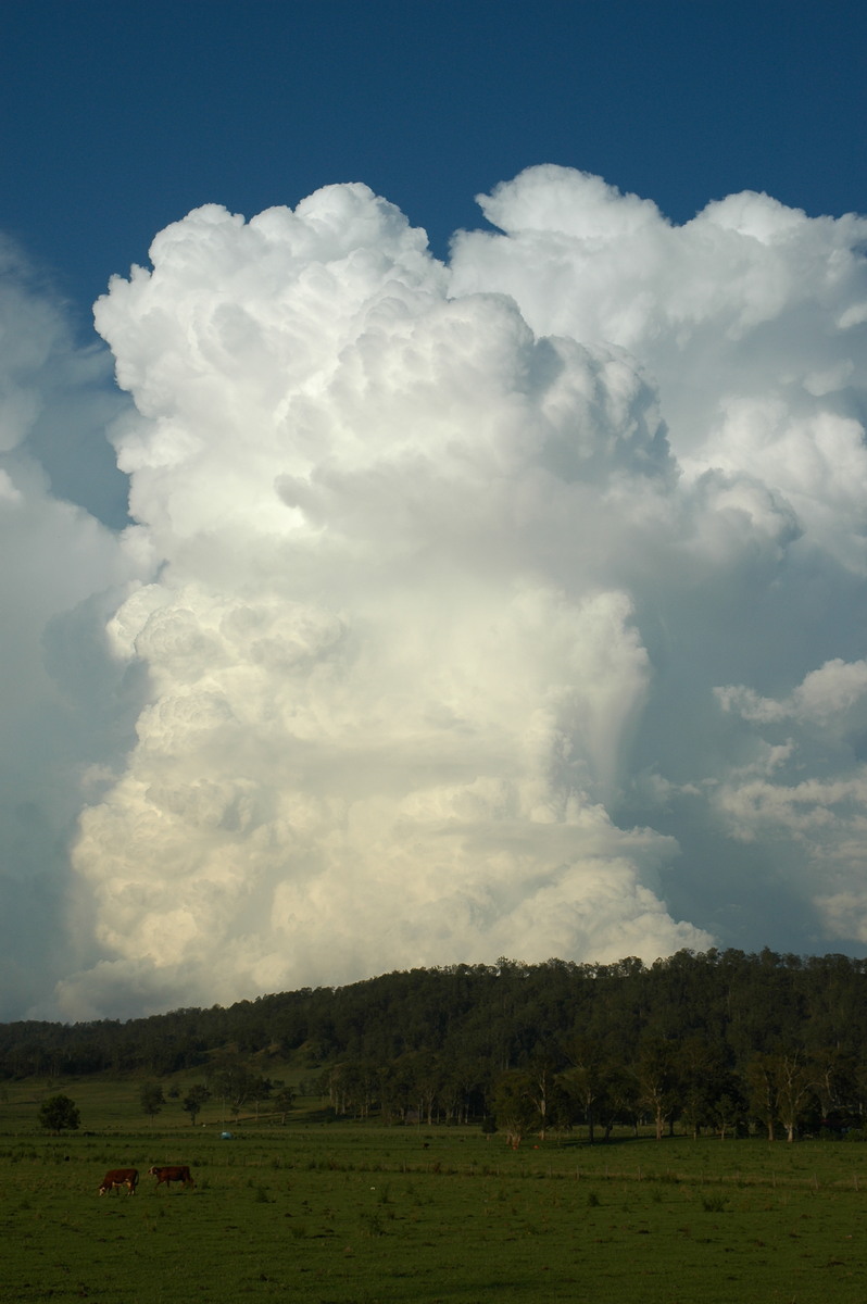
so there was still plenty of hope! Around 1.30pm I noticed that a thick anvil
had developed to my SW, with the cell located SW of Coraki.
It looked strong, so I headed into Goonellabah to meet up with Rodney and head
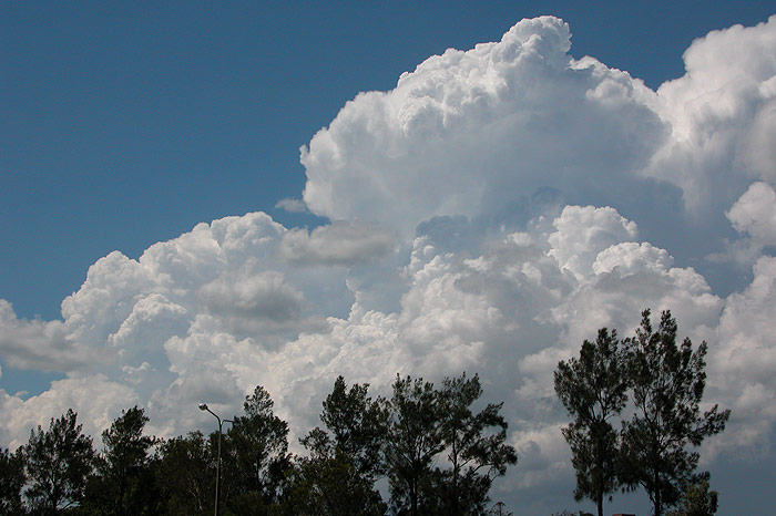
out in the Rav. On the drive, a cell just N of my home really took off, with really
crisp updrafts pushing out into a solid anvil with knuckles - an indication of
the high CAPE. Rodney and I headed into Lismore to get fuel. I grabbed some shots
of the development to our NE while waiting. Michael was observing this same storm
to the NNE from his home, before also heading out on chase.
We made the decision to head after the original cell SW of Coraki, as we could
pick some interesting base features. My brother rang when we were still N of Coraki
asking if I was at Maclean as there looked to be a severe storm heading straight
that way. So we continued as fast as legally possible to get to the Pacific Highway
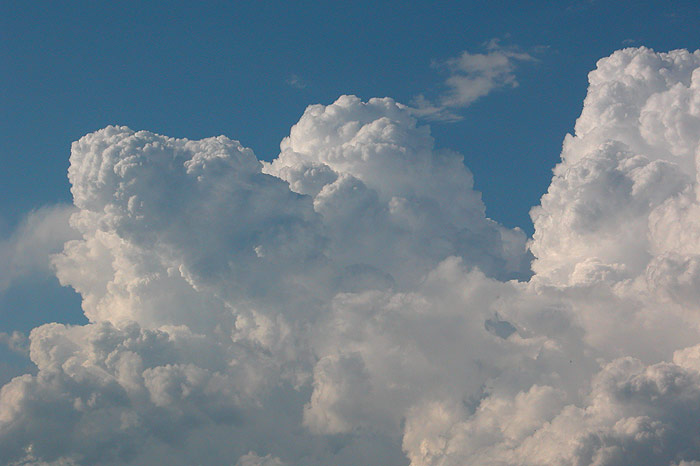
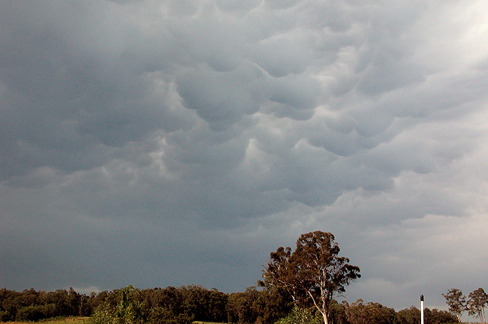
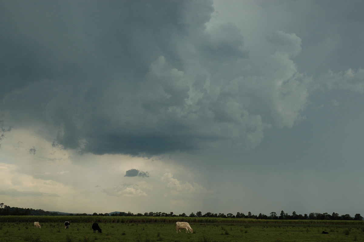
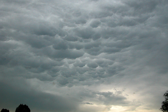
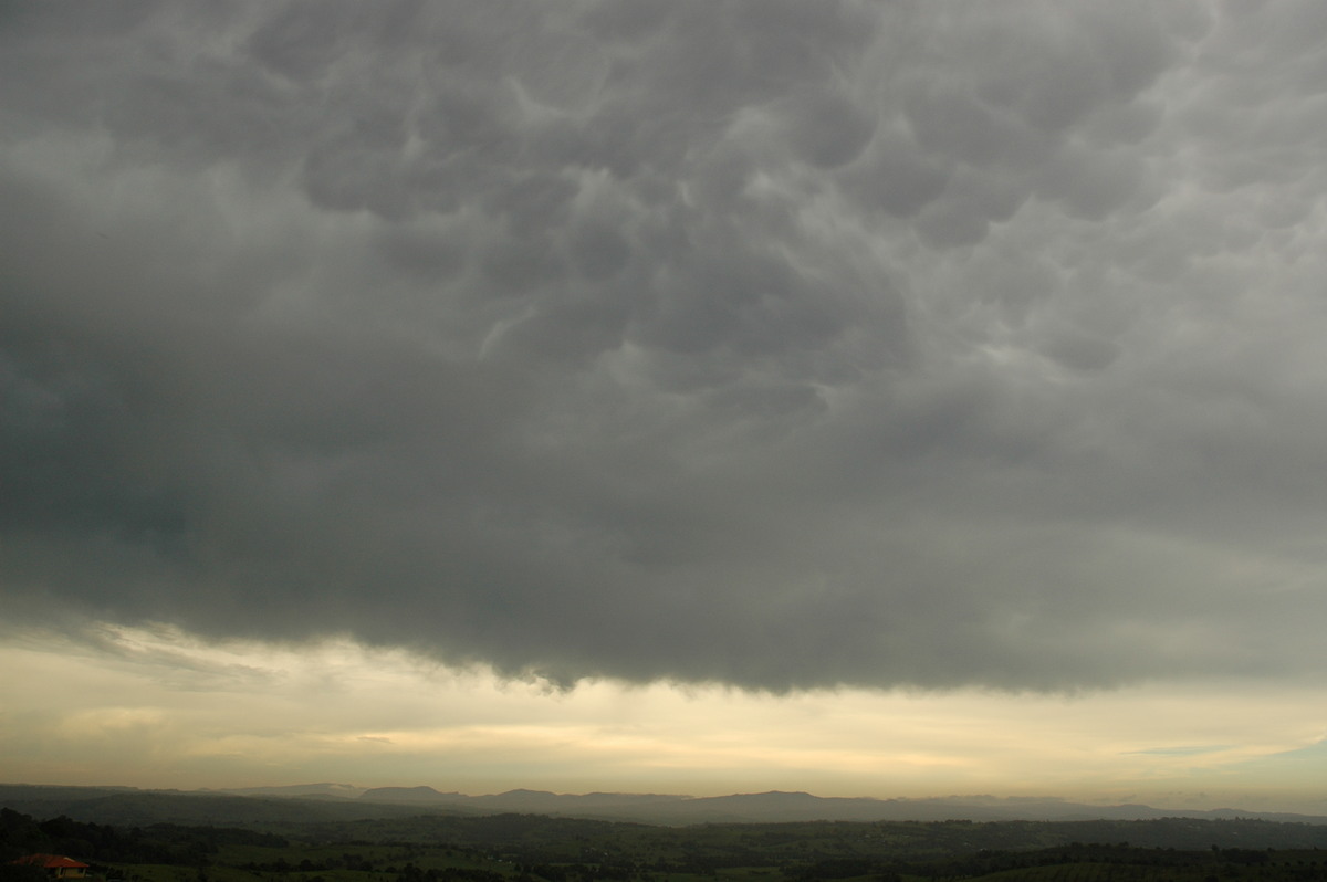
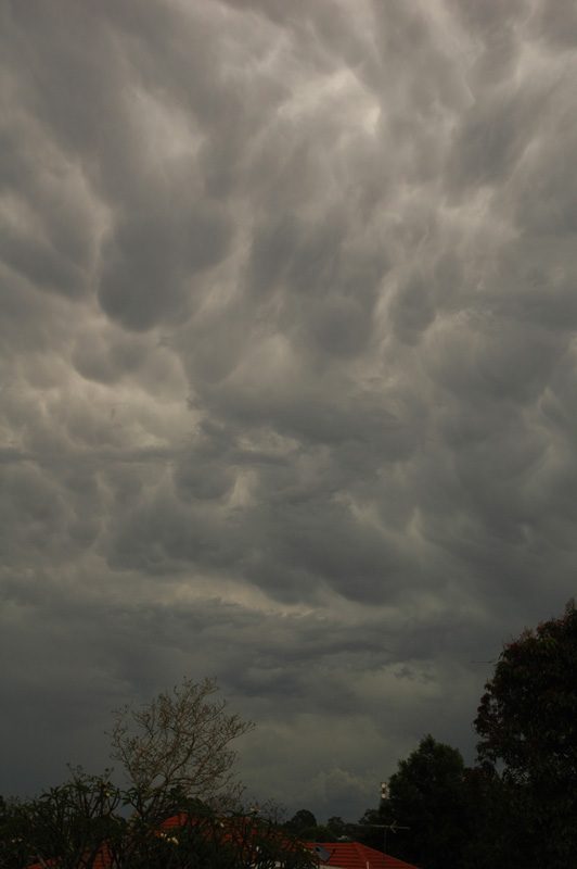
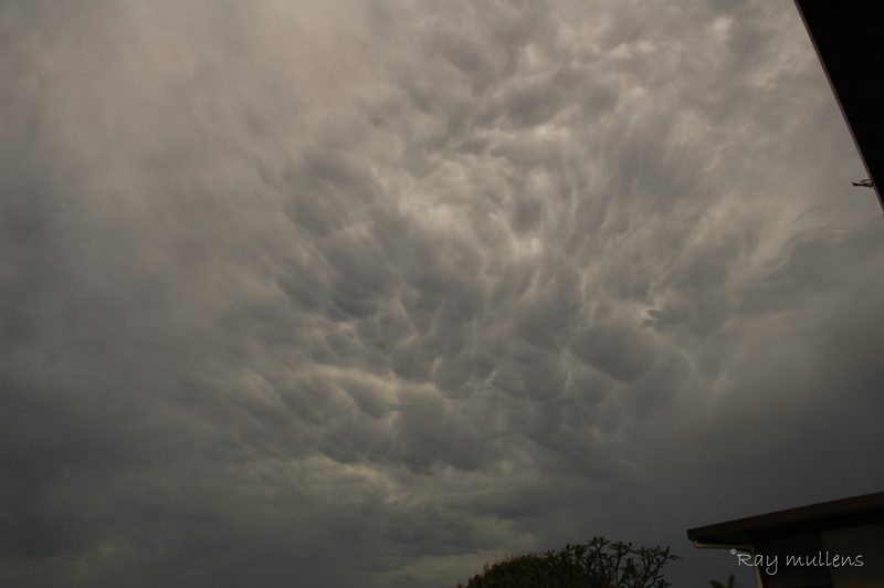
and head S. There was plenty of nice convection around and some mammatus under
the anvil from the cell we were after, which was strangely heading SE.
It turns out it was a right mover of a splitting pair of storms. Despite our efforts,
we missed the storm, but heard reports across the radios of hail up to golf ball
size near Maclean. The left pair of the storm still looked nice, so we continued
to just N of Iluka to try and intercept the cell. The trees along the Pacific
Highway are a real pain, and make chasing down that way almost not worth the effort.
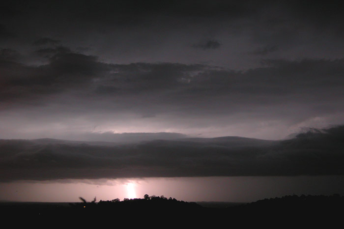
We stopped on the beach for some photos, but the cell seemed to have decayed somewhat,
though it still had a strong looking anvil.
An update from Michael revealed the storm was almost stationary and seemed to
be back building. He was watching to the WSW from near Coraki.
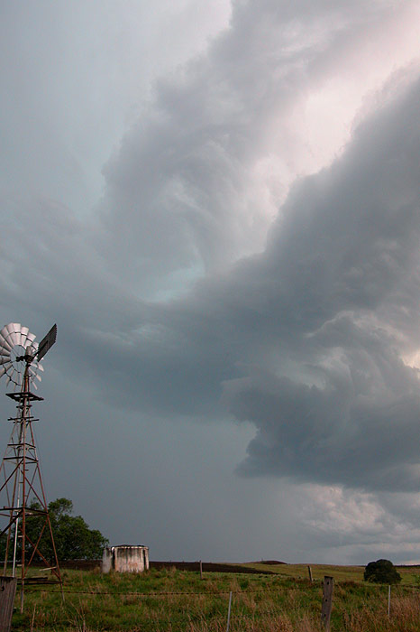
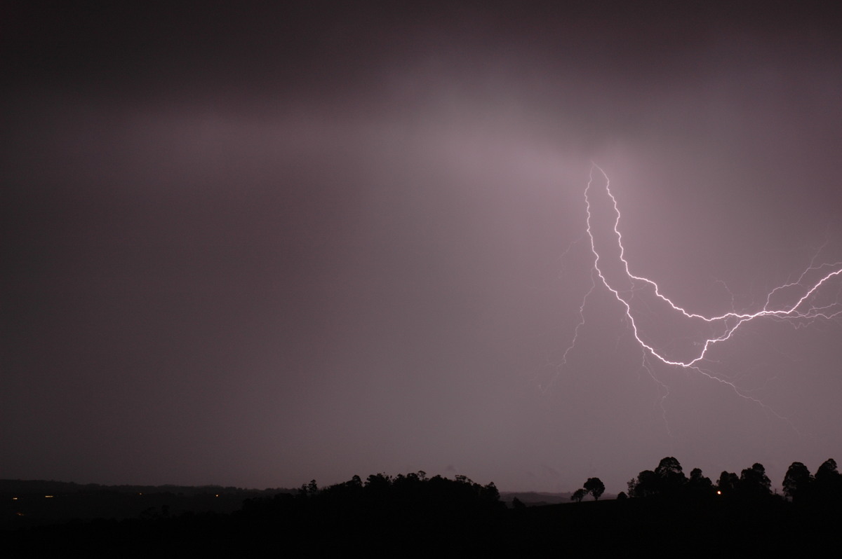
So we decided to head to Coraki to meet up with Michael. We stopped on the Woodburn
to Coraki road to observe a nice looking cell to our WSW. It was producing some
great lightning and at one stage looked to be developing a gustfront. It seemed
to be stationary too though. Rodney and I decided to try some back roads to get
a little closer, while Michael had to head home. We ended up on a treed in road
on the way to Elangowen whilst trying to get to that cell, and despite our efforts,
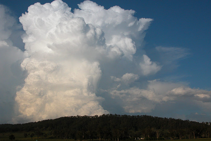
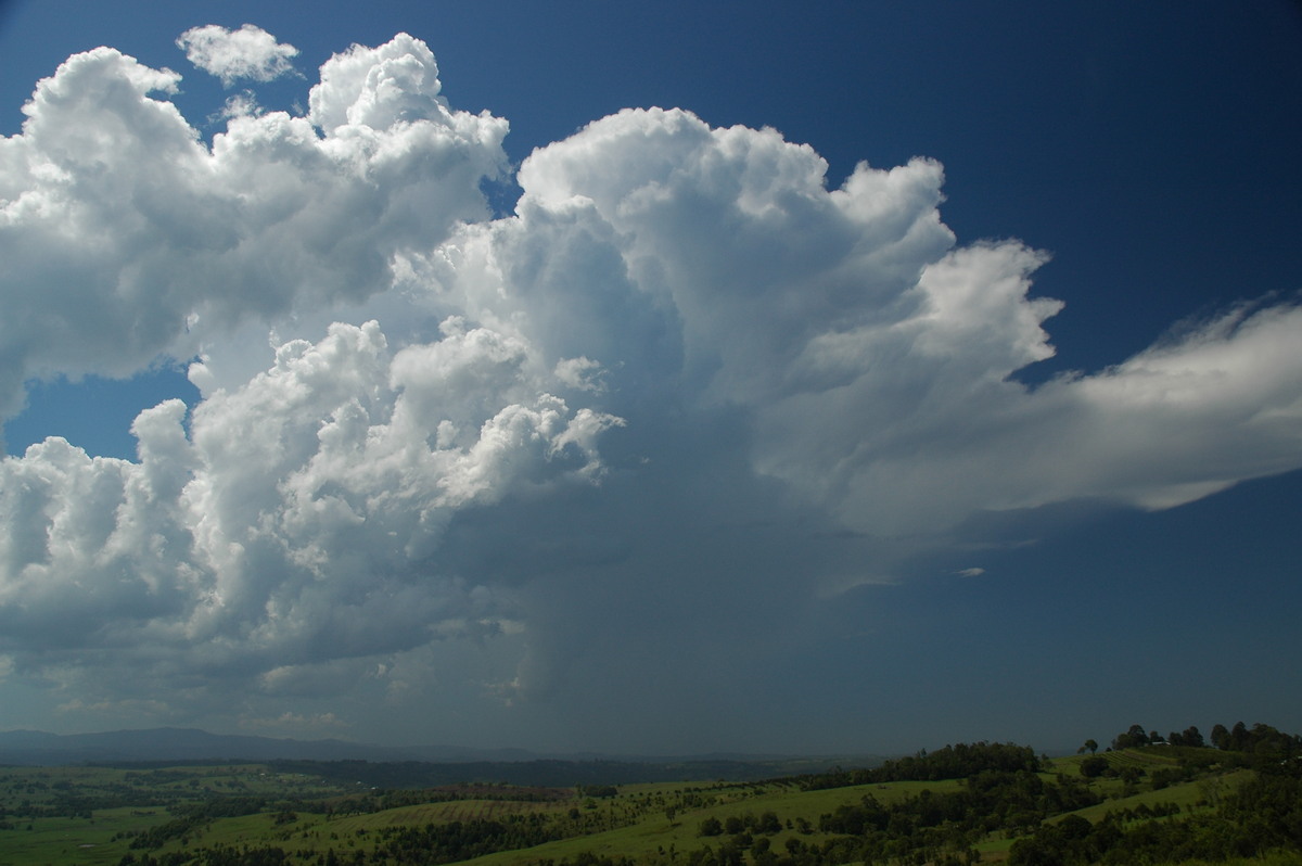
it was weakening anyway, and a new cell was really taking off W of Casino. When
the trees cleared we stopped to see the cell, which had some amazing mammatus
under its anvil.
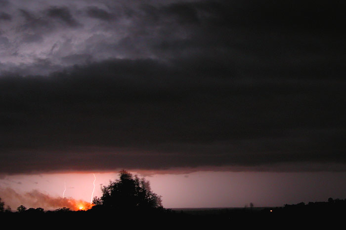
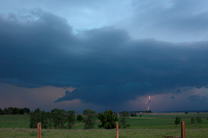
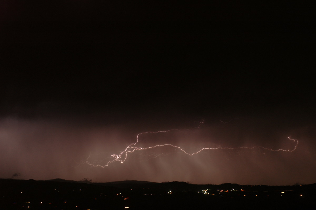
It was also putting out massive CGs and anvil crawlers, so we shot towards the
Casino-Coraki road. Along the way we stopped again to try for some daytime CG
shots. I managed to grab one which was pretty lucky!
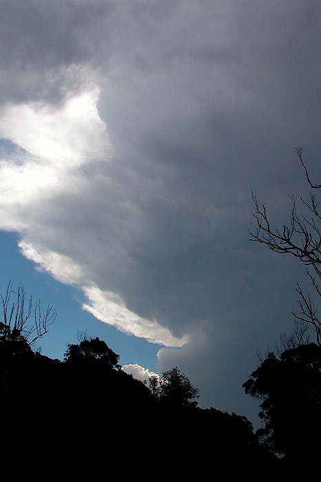
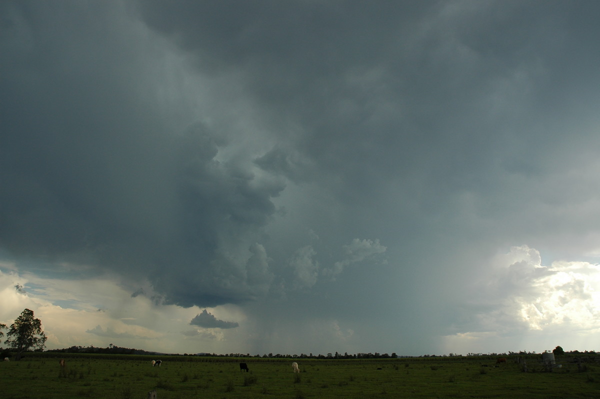
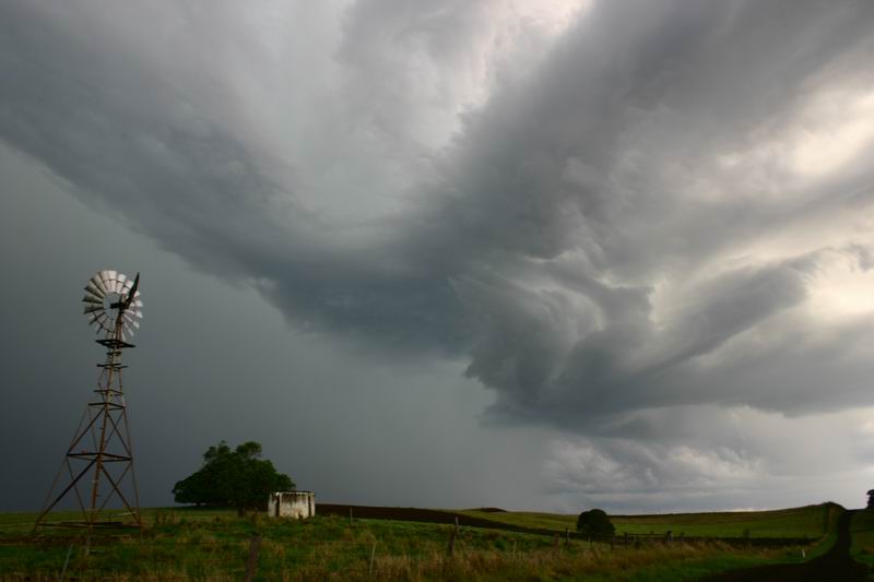
It was now after 5.30pm, and Rodney and I thought we could see an interesting
inflow band type feature through the rain, likely on the storms NW flank (updraft
region). So we decided to head N of Casino for a look. Storm activity to our SW,
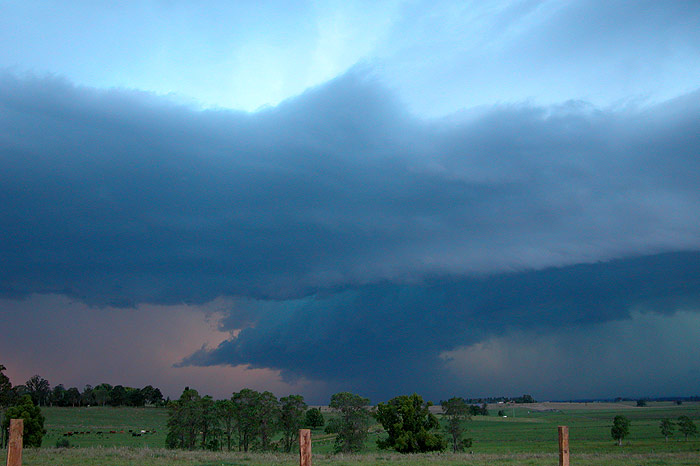
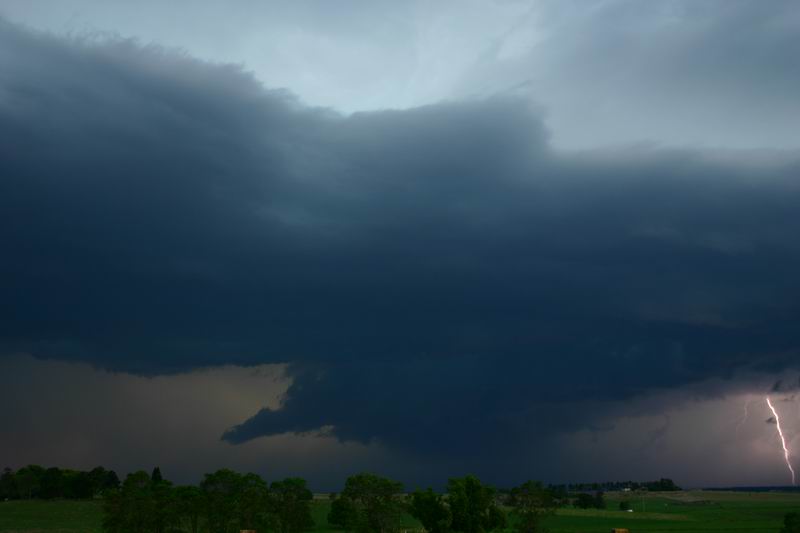
while messy looking, was becoming really lightning active. As we headed on the
Summerland Way out of Casino, experiencing some very close CG lightning, we began
to emerge out of the rain area and a rotating updraft structure began to come
into view!
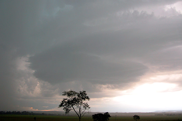
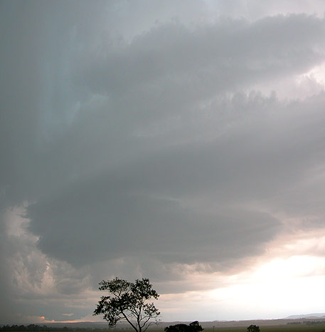
I was amazed at how poor the contrast was until we were fully out of the rain.
But as soon as we were N of the rain, the contrast in the rotating structure became
really dramatic. We soon stopped to photograph the structure, which had a nice
green tinge, and several inflow bands wrapping into the storms updraft. Lightning
was shooting up the tower and spreading out into massive anvil crawlers which
seemed to shoot a long way away to the E. It was an amazing sight!
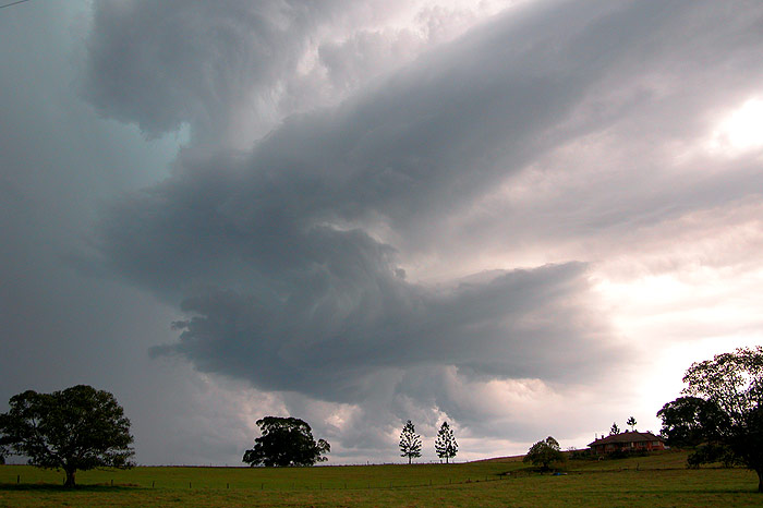
We were almost right under the structure which made it hard to photograph, so
we continued N to a nice spot near the Summerland Way - Lismore to Kyogle road
intersection. While the initial rotating structure had decayed, a new rotating
updraft had rapidly developed to our SW.
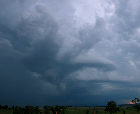
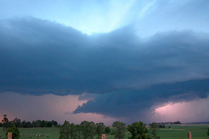
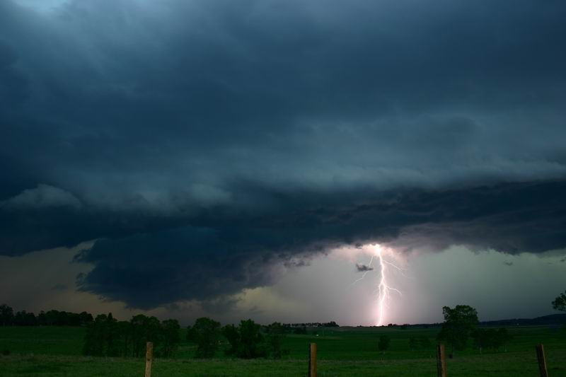
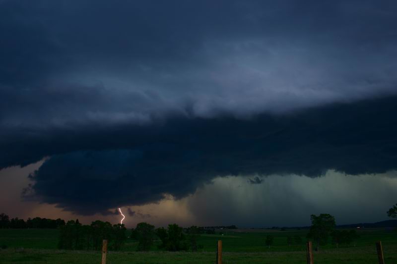
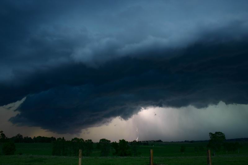
The structure soon evolved and merged into activity near Casino that was spreading
N. Eventually a massive inflow band developed and extended well off to the NE,
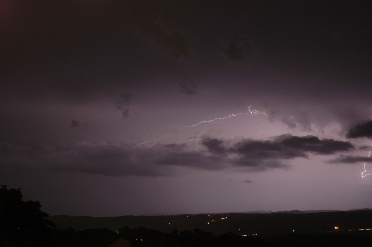
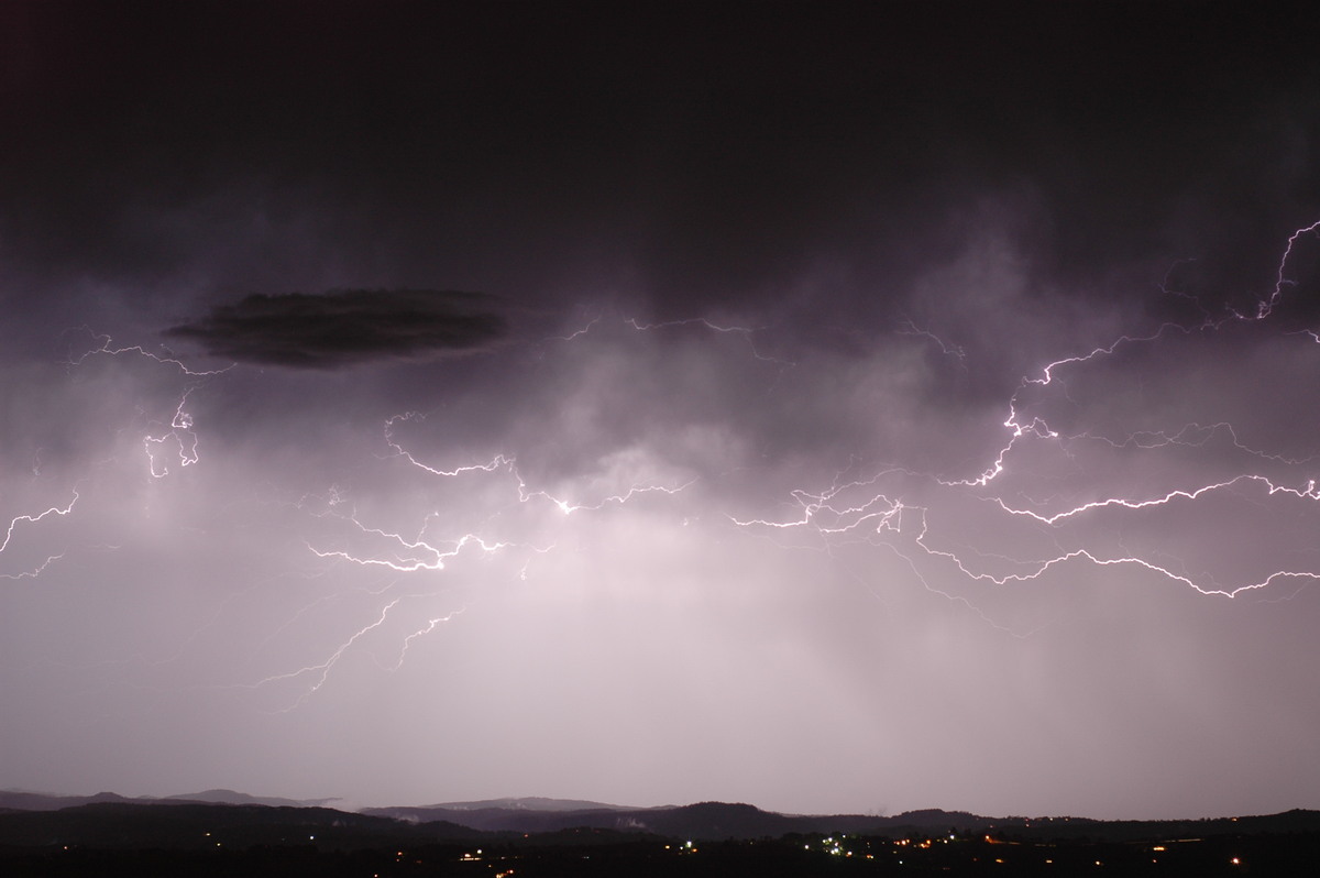
and fed into a nice rotating updraft region. Lightning was now going ballistic,
with multiple, pulsating CGs and massive anvil crawlers occurring every few seconds.
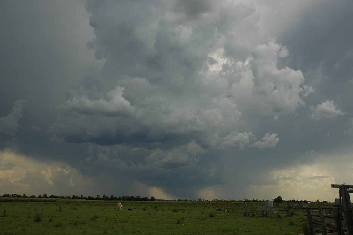
The storm soon began to look outflow dominant, with a gustfront developing and
extending west.
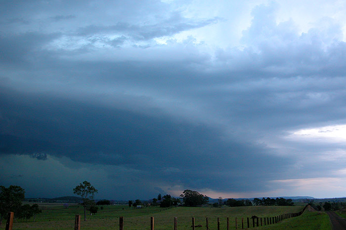
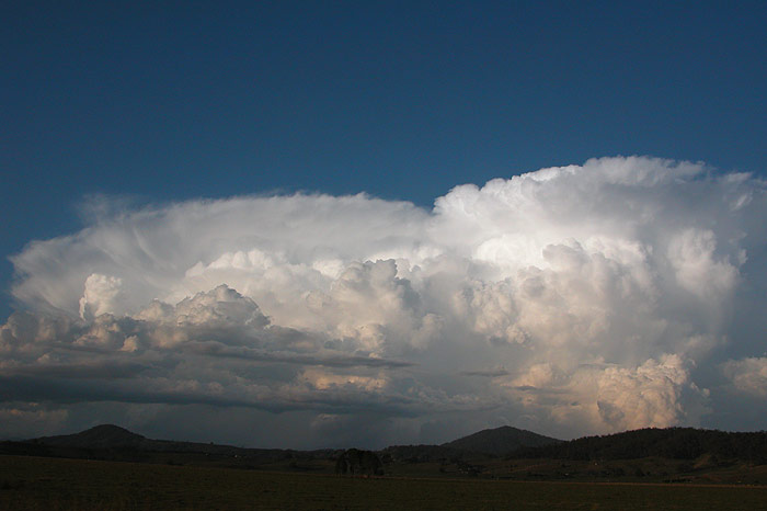
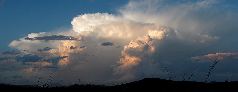
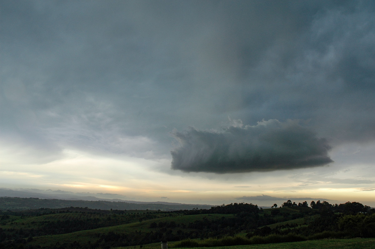
A really intense looking lowering had now developed just under the updraft region
where the inflow band was feeding in. It sure looked like there would be violent
weather under this area! The contrast was fantastic with blues, purples and greens
in the clouds, and lightning illuminating the rain curtain a pinkish colour!
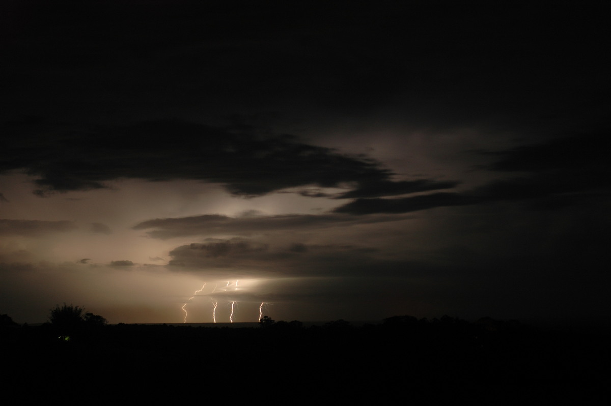
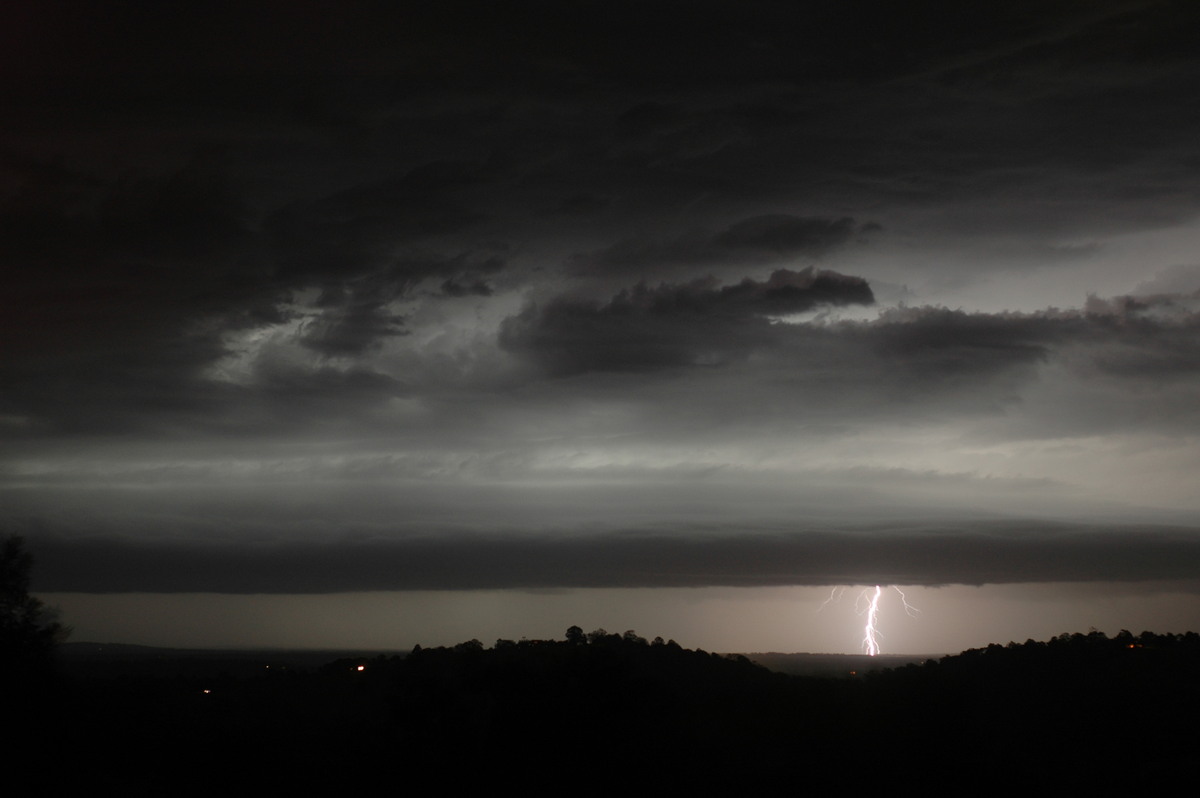
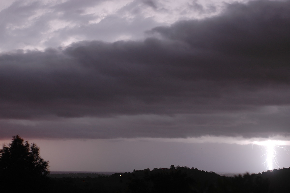
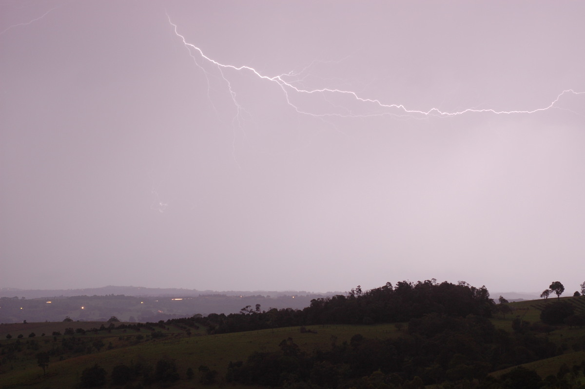
While we were enjoying the show near Kyogle, Michael and Ray Mullens captured some anvil crawlers and mammatus from further east.
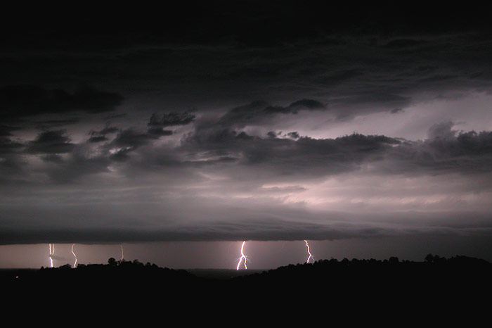
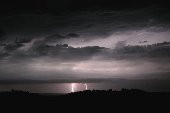
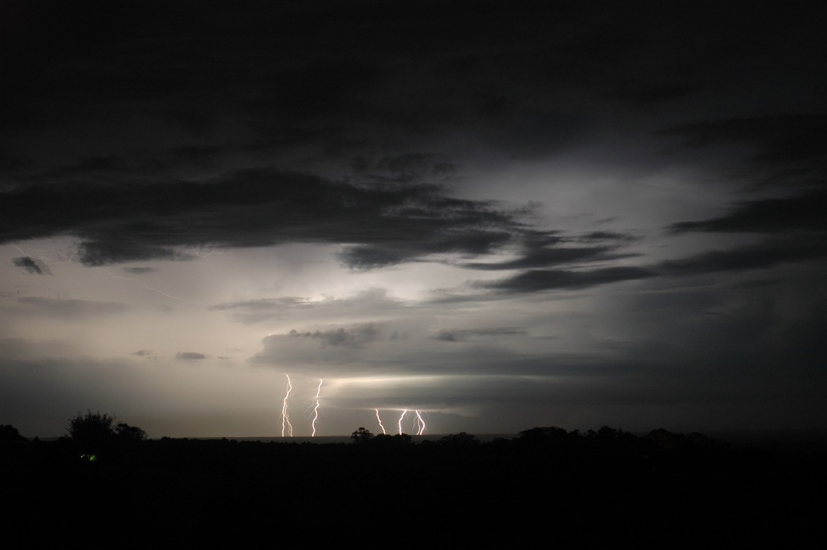
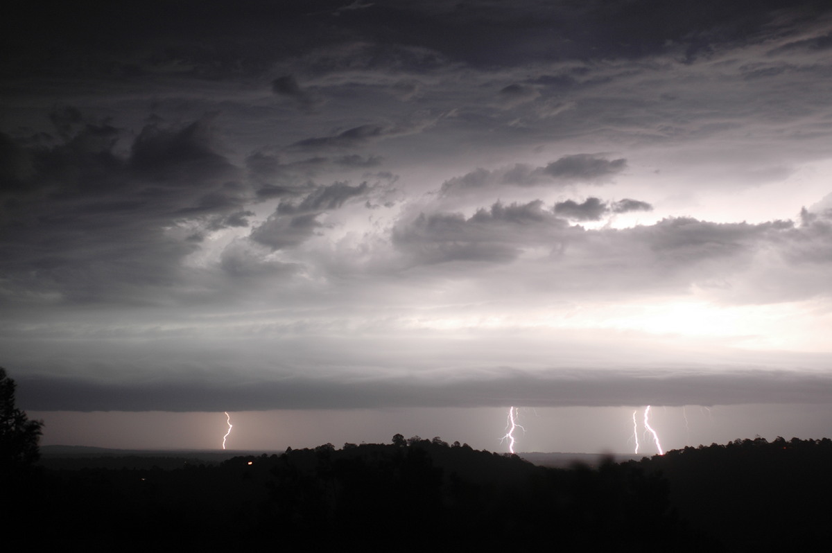
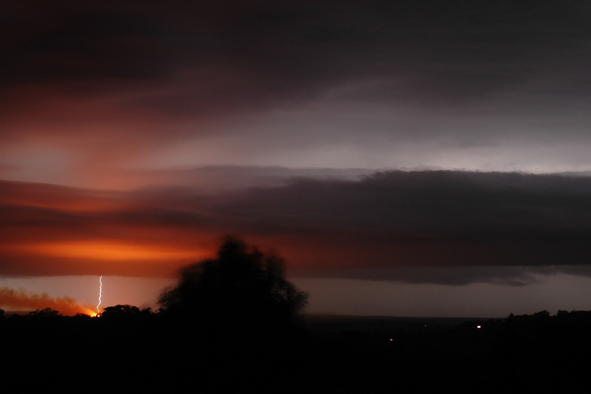
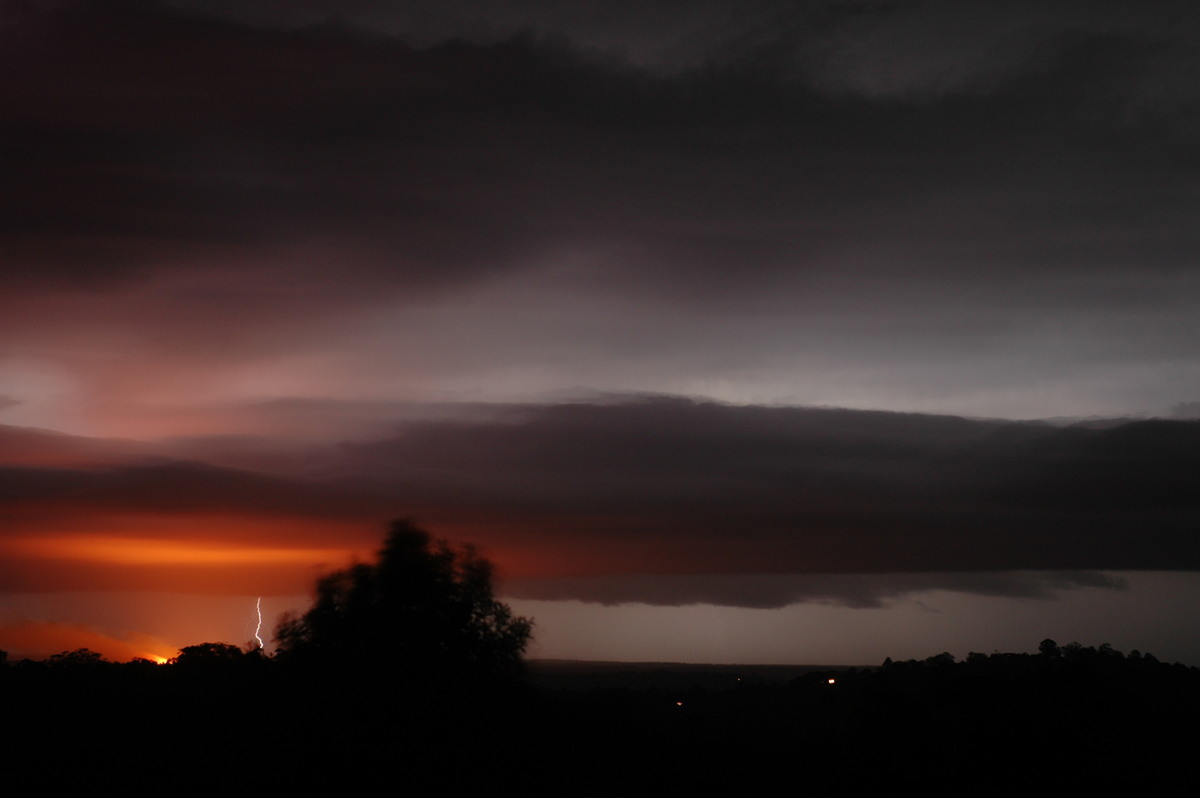
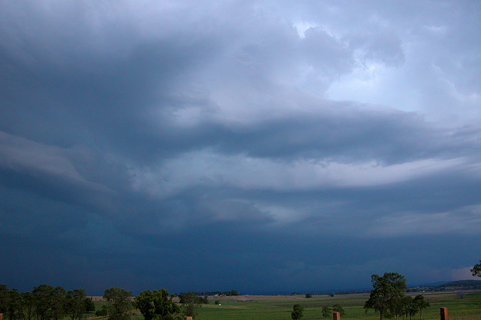
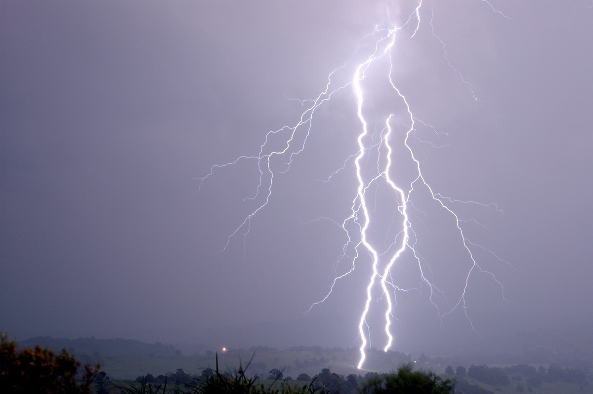
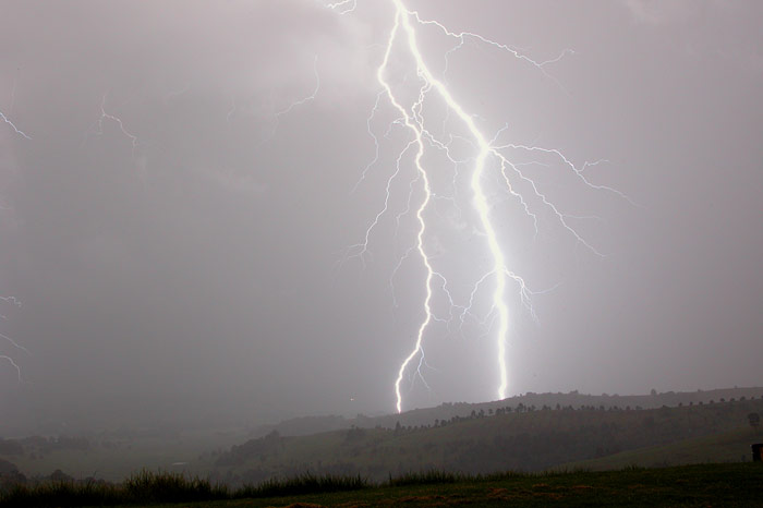
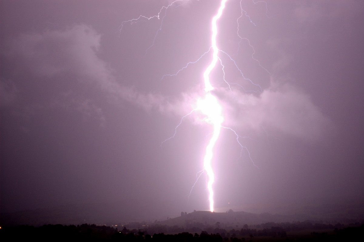
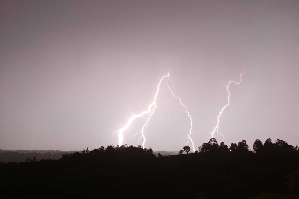
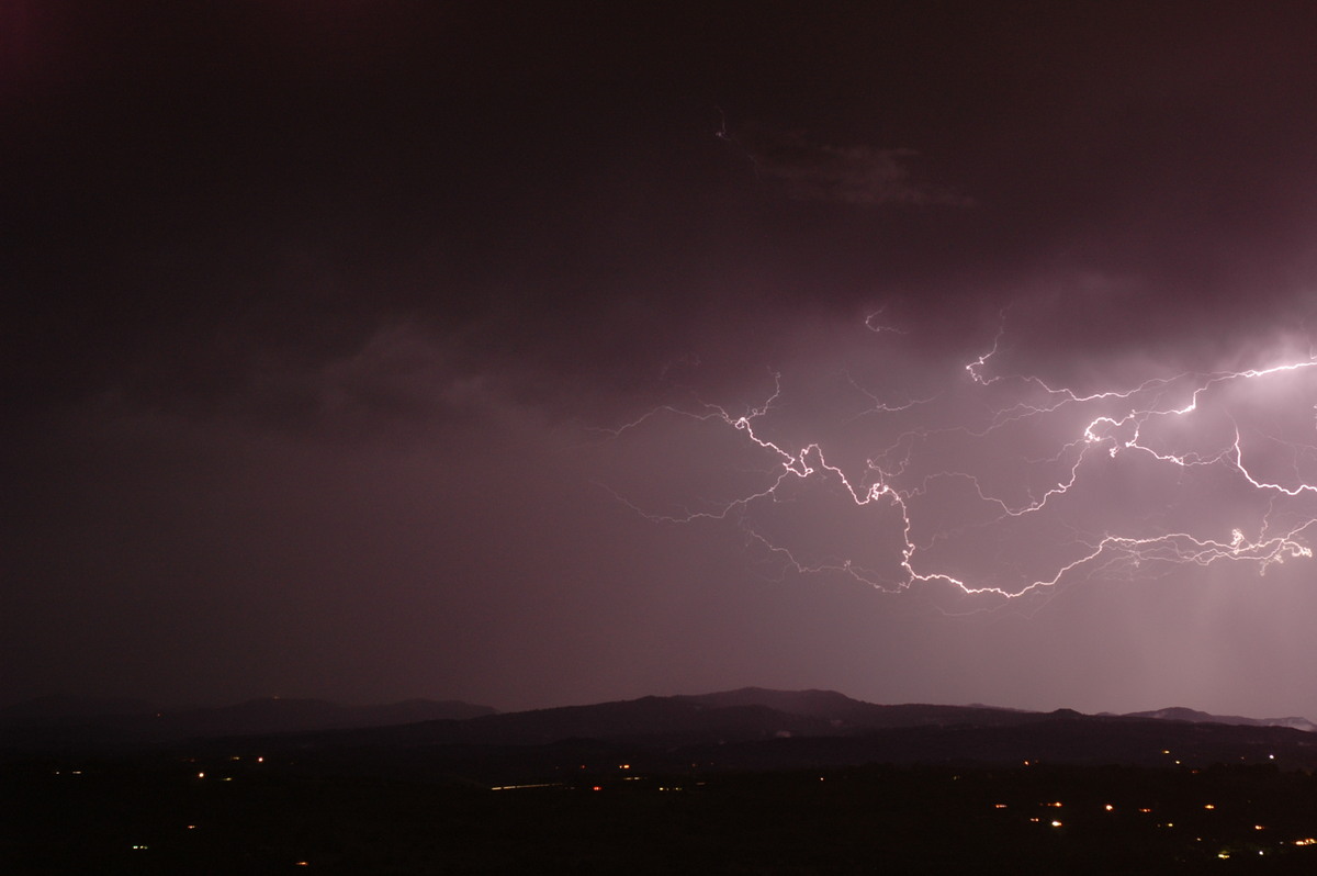
The outflow soon blew through and the storm was almost upon us, so we made for
a quick exit towards Lismore! Outflow winds on the drive back were very strong,
and CGs began to rain down over us! Lightning was now constant, with several massive
flangs occurring just outside the vehicle as we dashed E! There was a lot of excited
yelling taking place on the drive back!! With a solid line of storms developing,
we decided to head back to Michaels for some lightning photos, encountering very
heavy rain just near his place as we arrived. We setup the cameras and a few very
close lightning bolts were captured. The lightning display was amazing, with the
sky constantly alight, and it was a great end to an amazing afternoon and evening
of storm chasing!


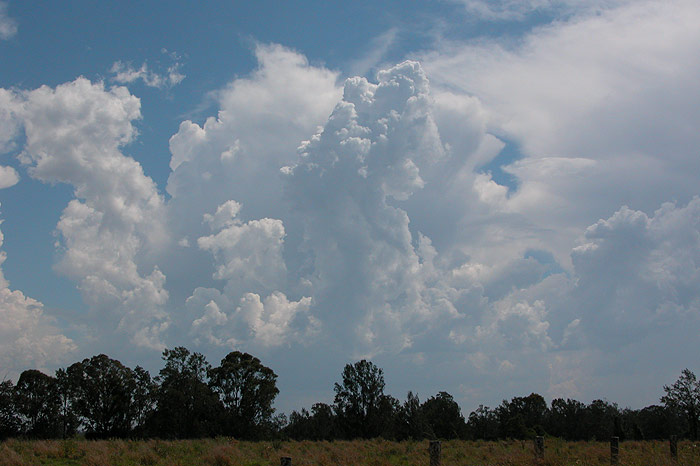
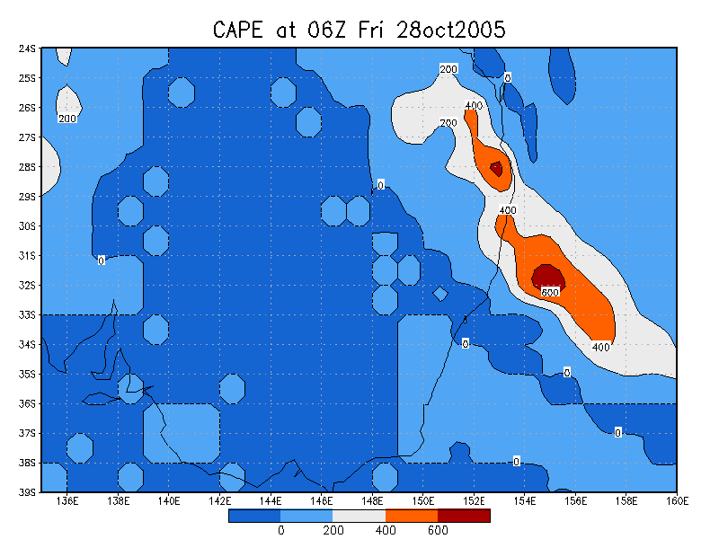
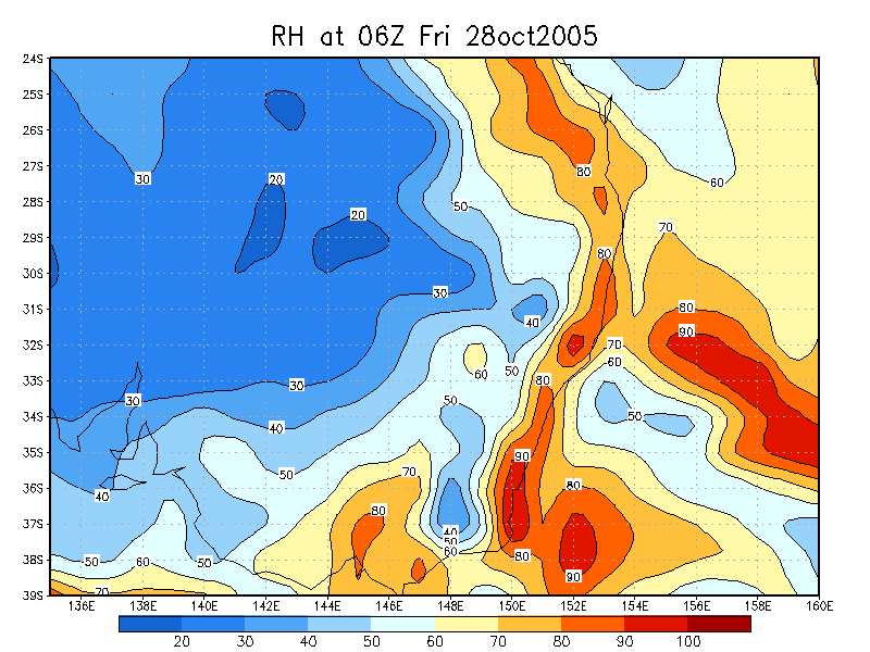
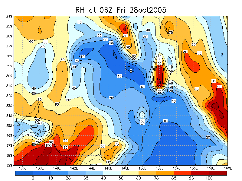
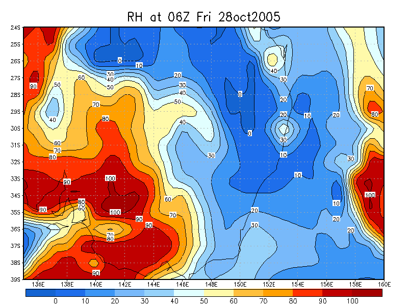
Friday October 28th
With only LI values of -1 and weak wind shear in the low to mid levels, not much
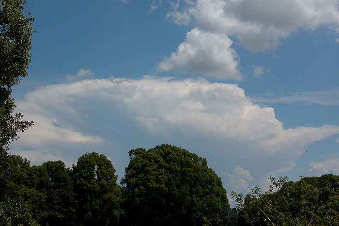
really occurred on this day. Storms did form on the Border and Nightcap Ranges
during the afternoon, producing some nice updrafts and a spectacular display of
pileus! The storms weakened late that afternoon and no lightning was observed.
Check out Part One of this 8 day outbreak of storms in the Northern Rivers.
From Weatherzone, MODIS: Land Rapid Response System and Bureau of Meteorology
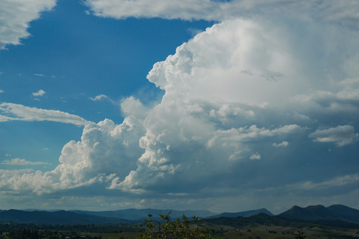
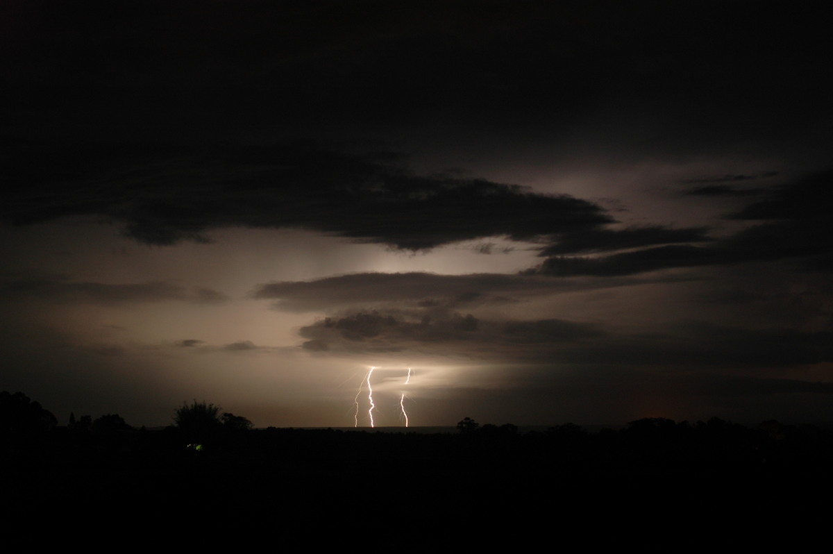
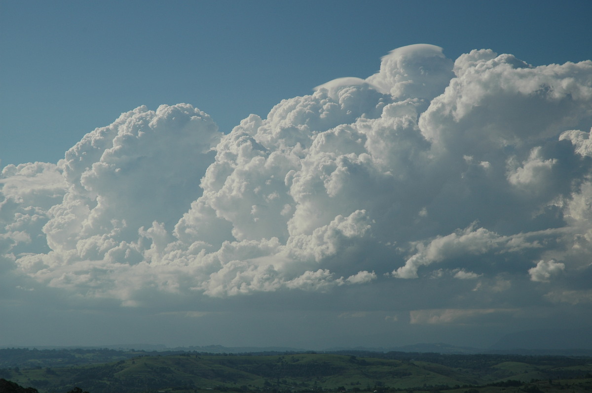
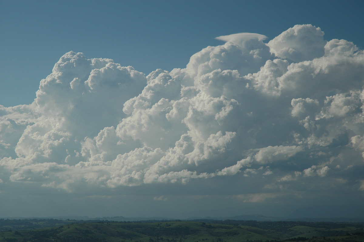
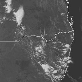
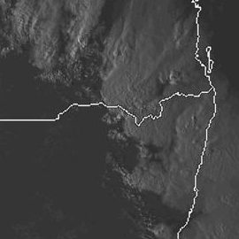
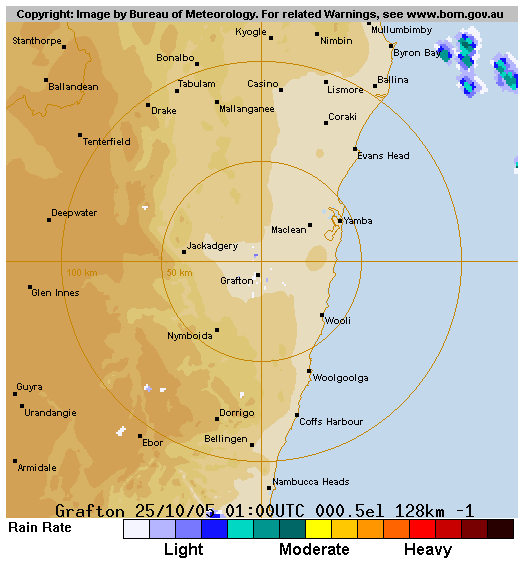
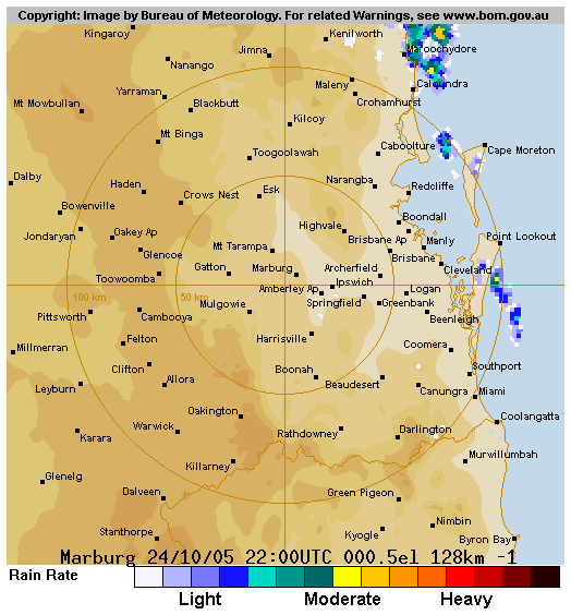
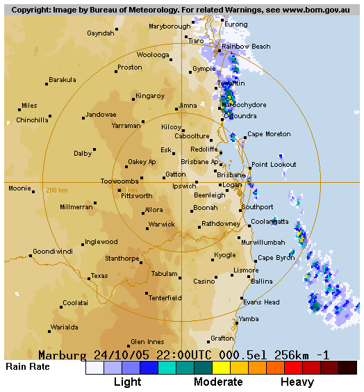
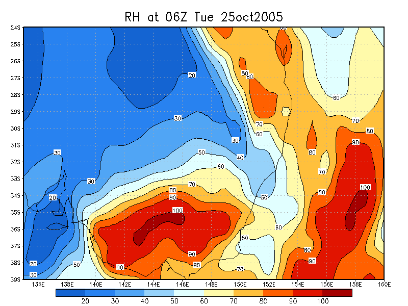
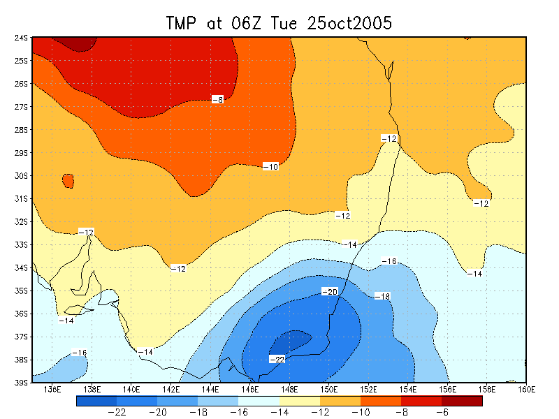
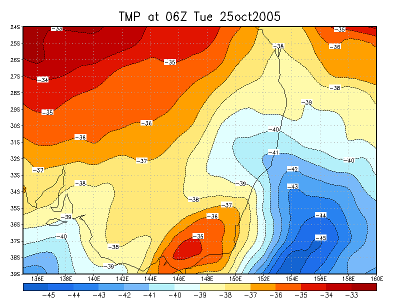
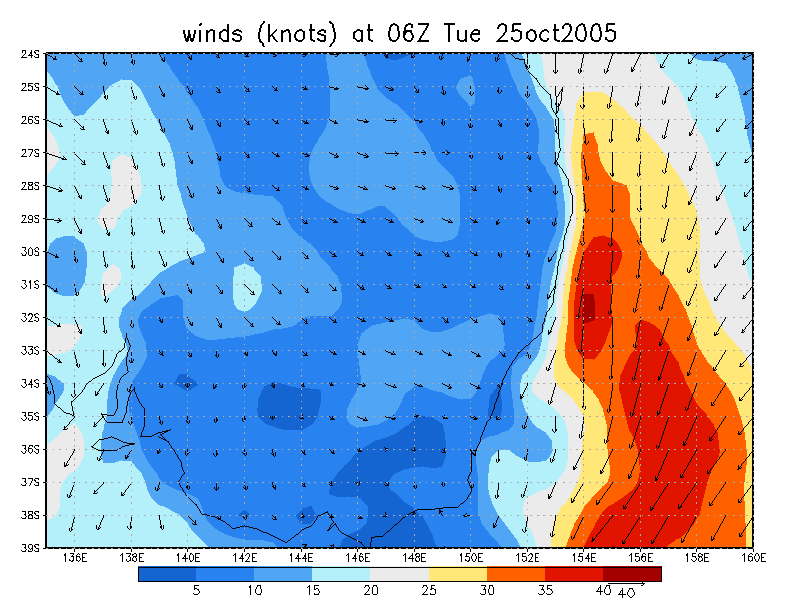
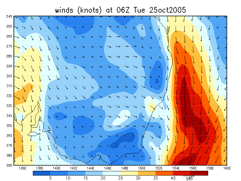
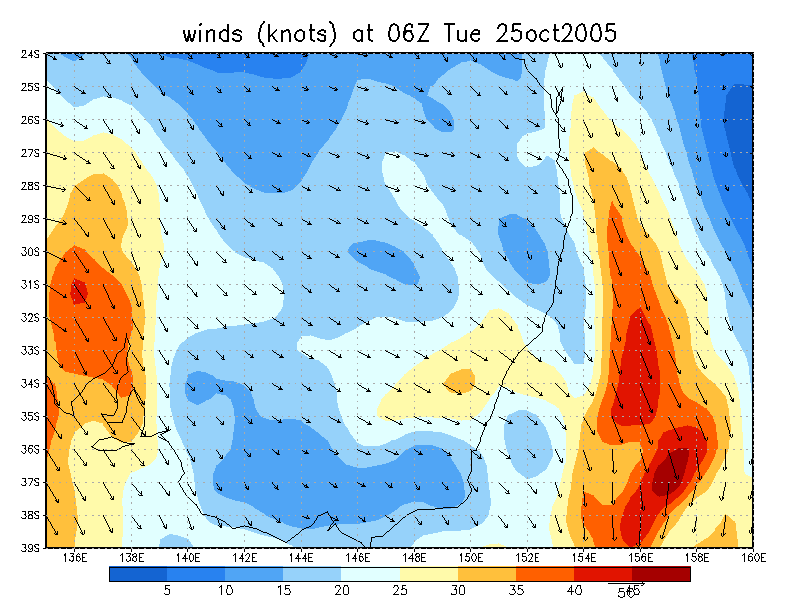
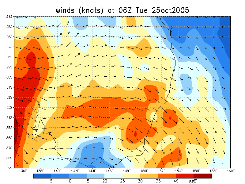
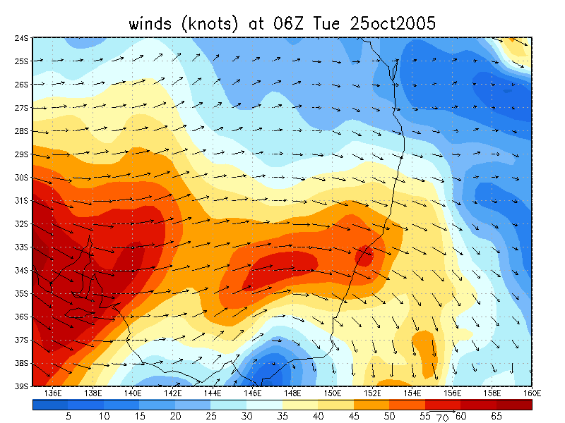
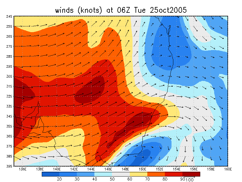
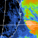 noon to 11pm 25/10 local
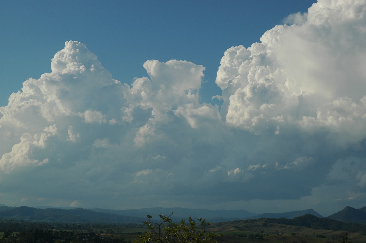
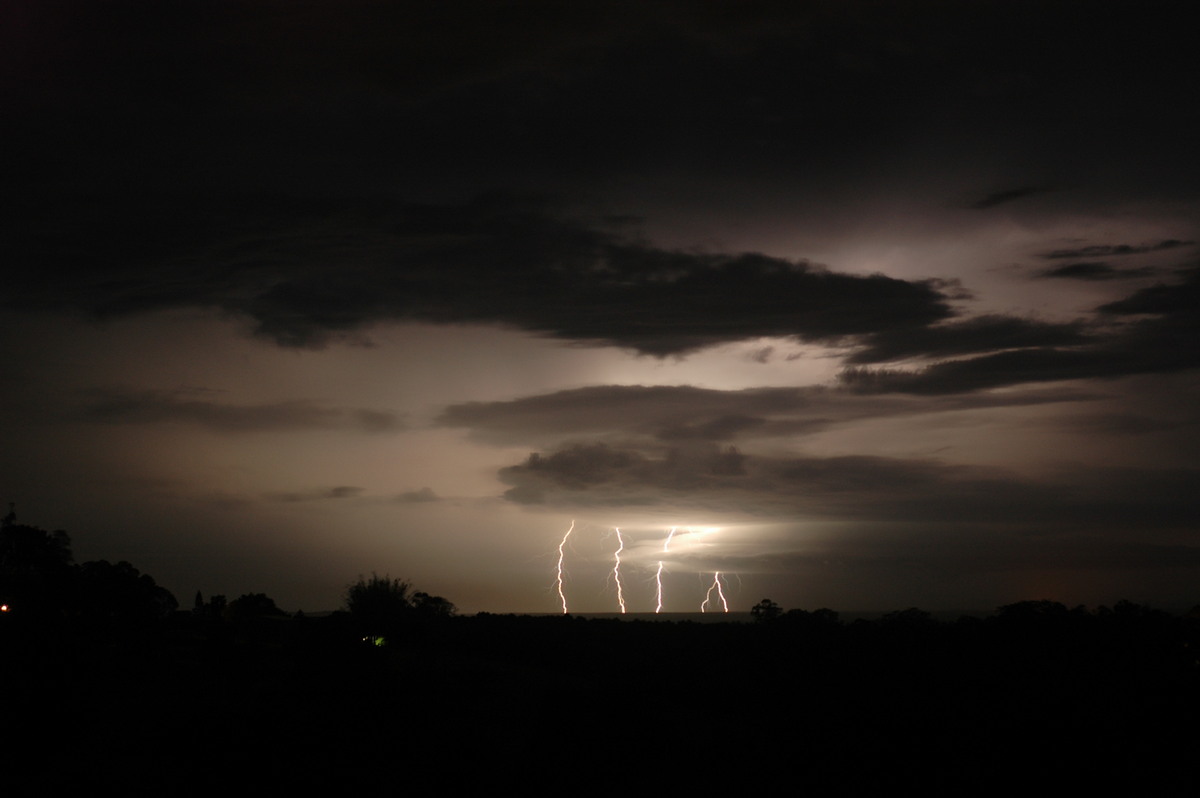
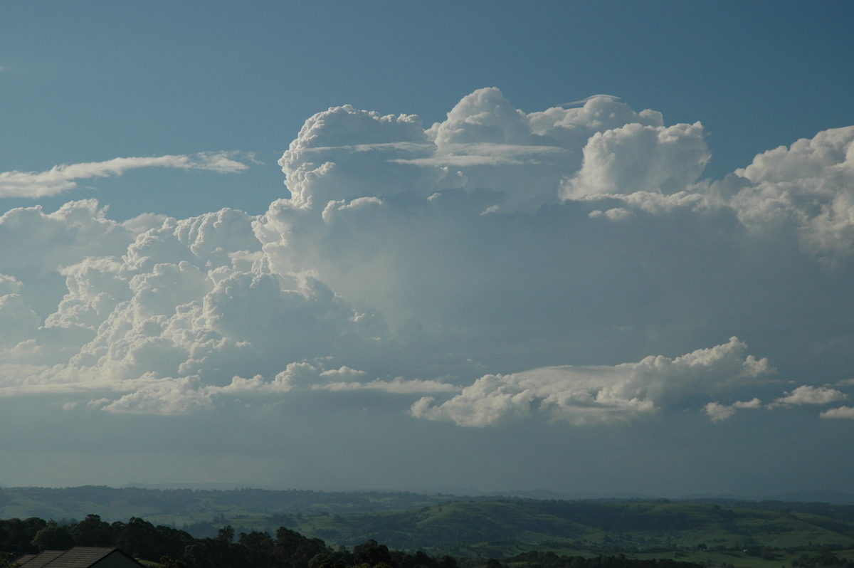
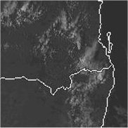
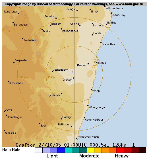
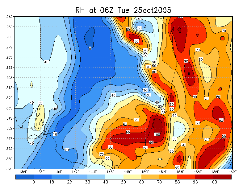
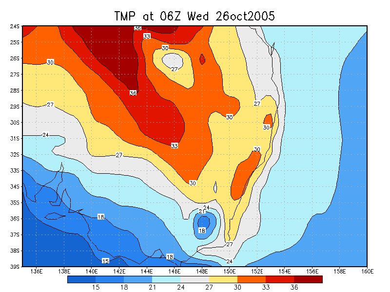
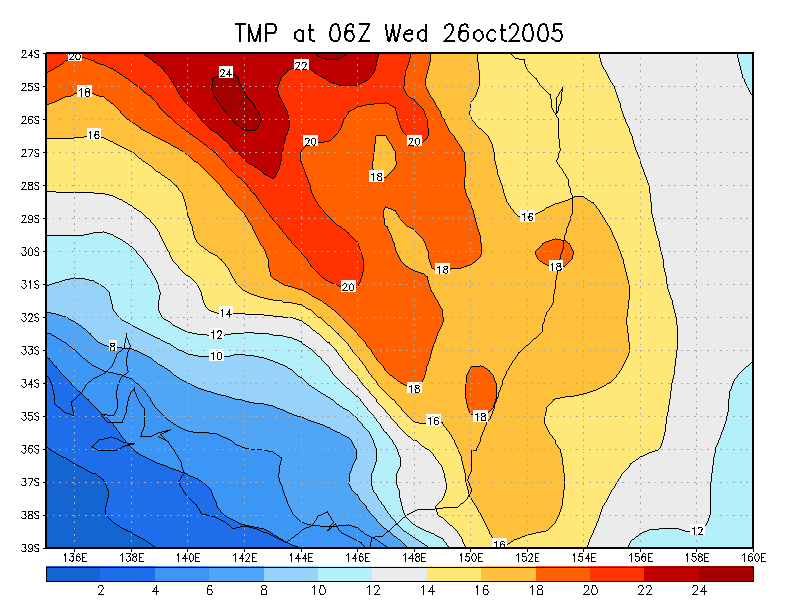
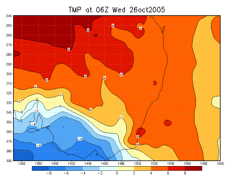
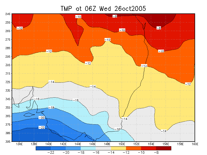
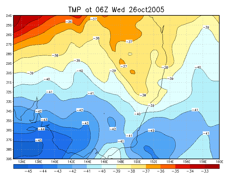
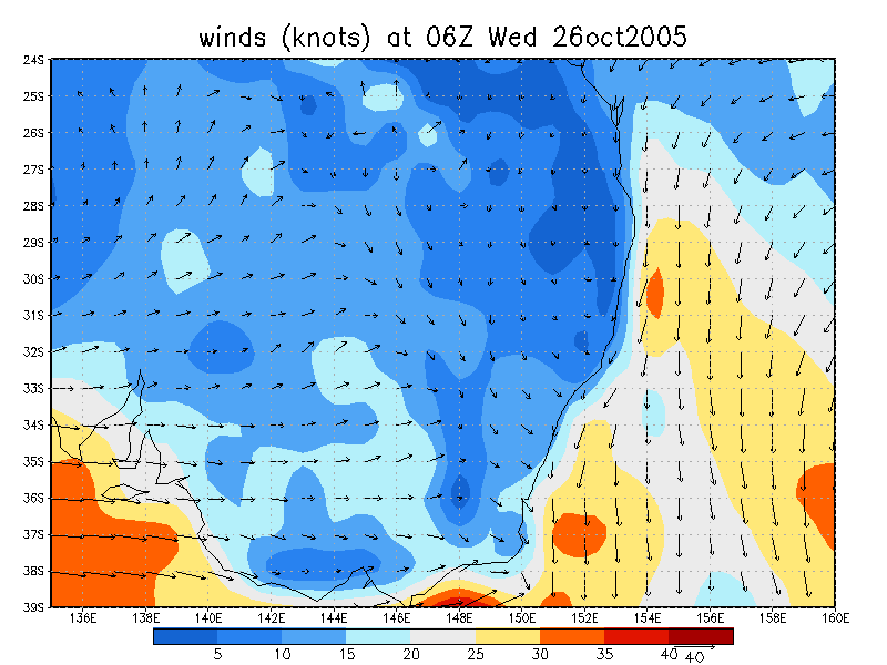
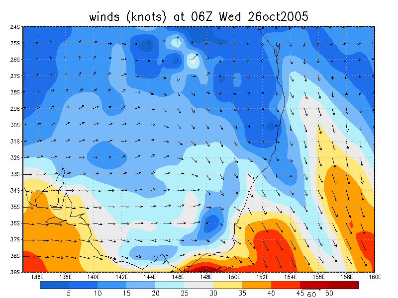
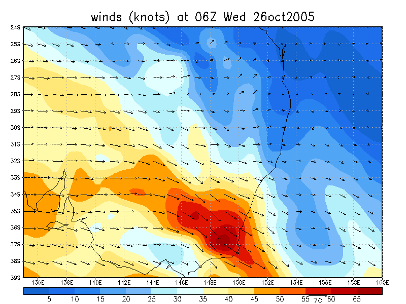
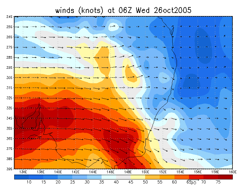
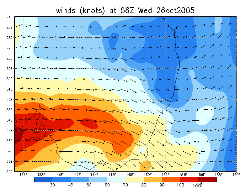
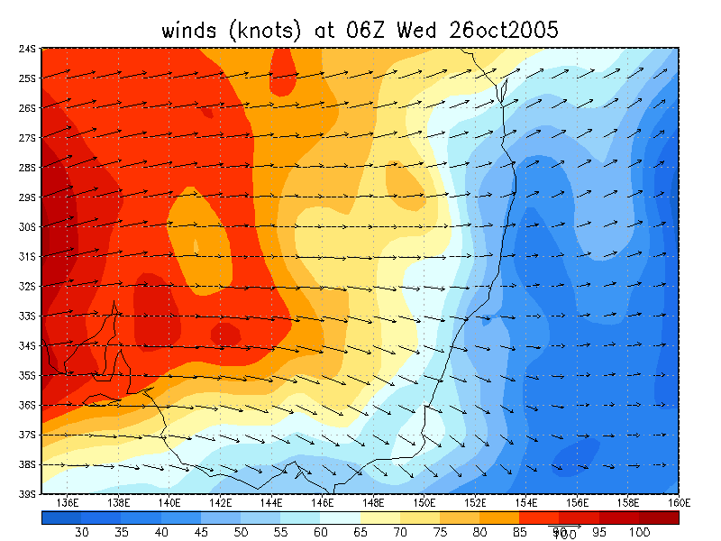
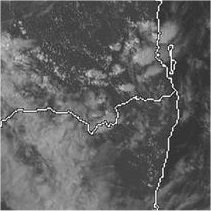 3pm 26/10 local
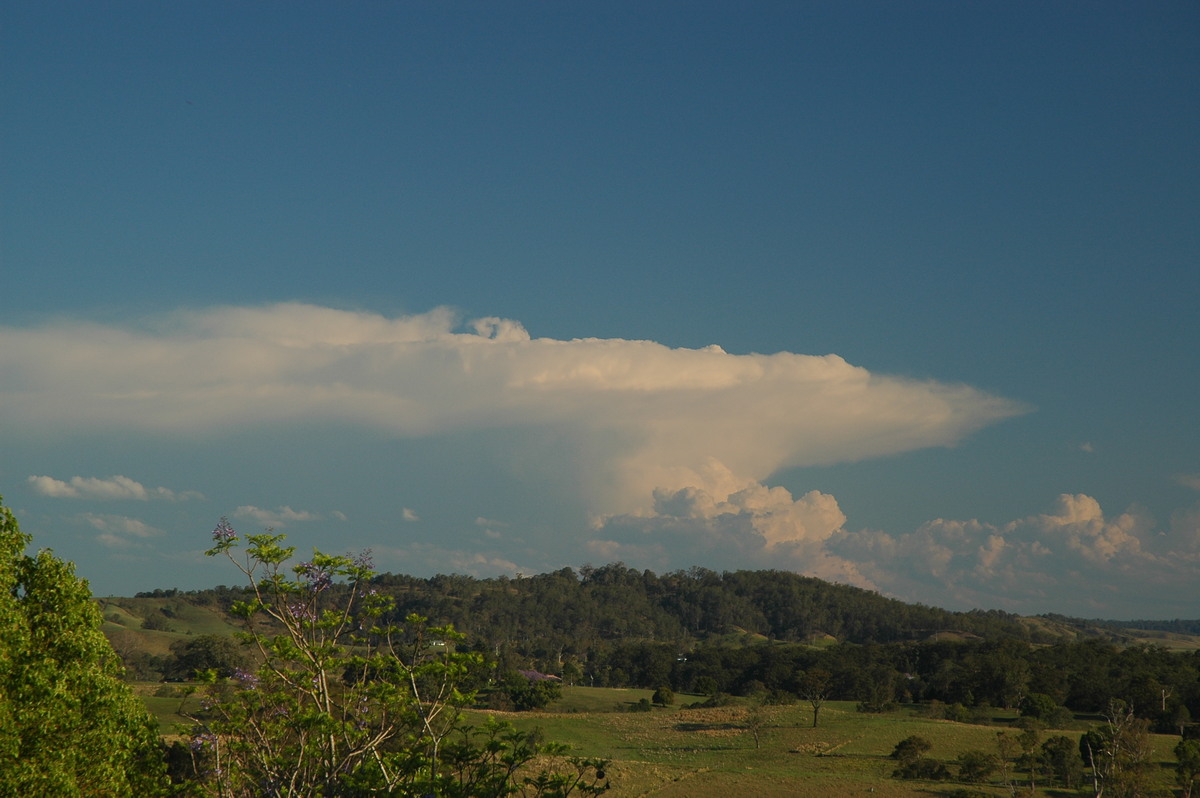
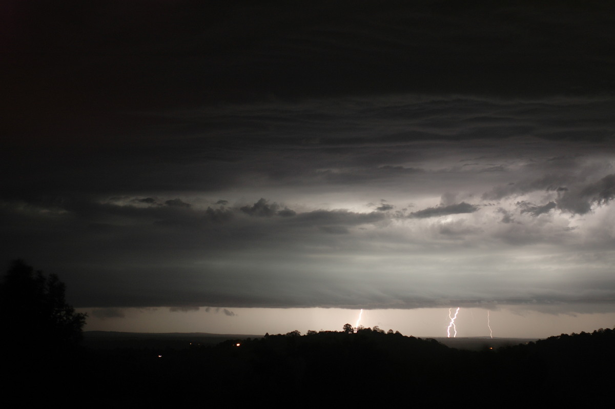
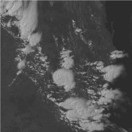
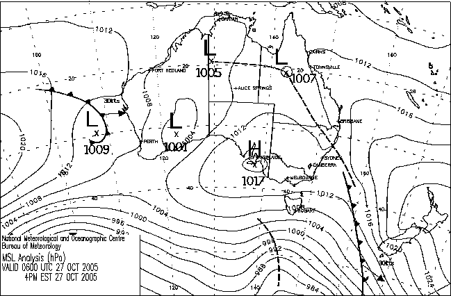
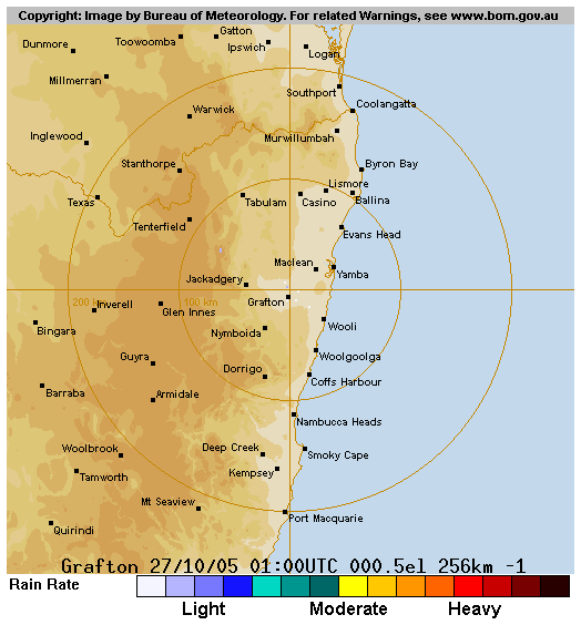
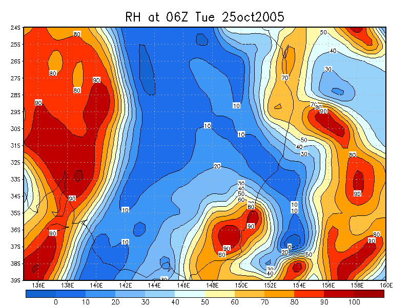
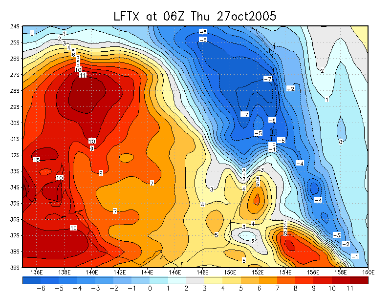
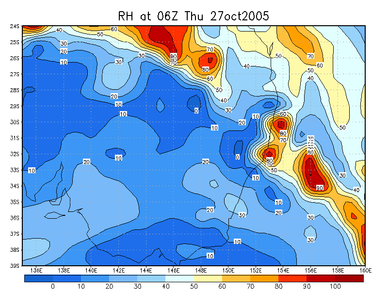
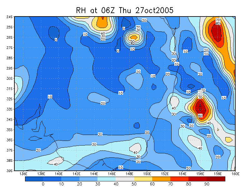
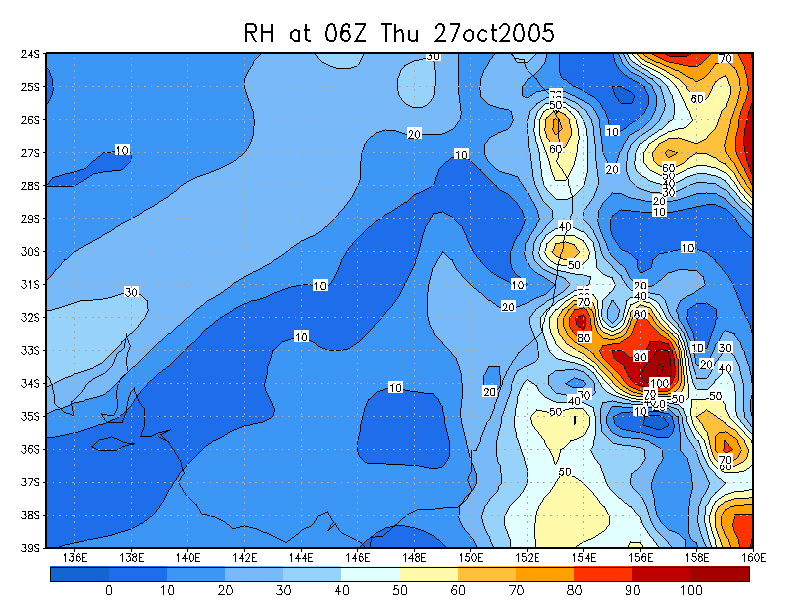
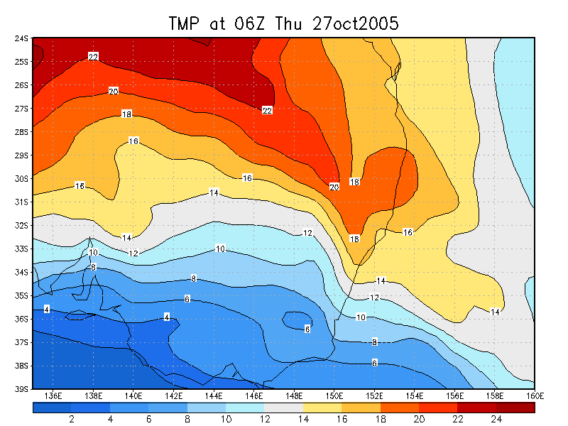
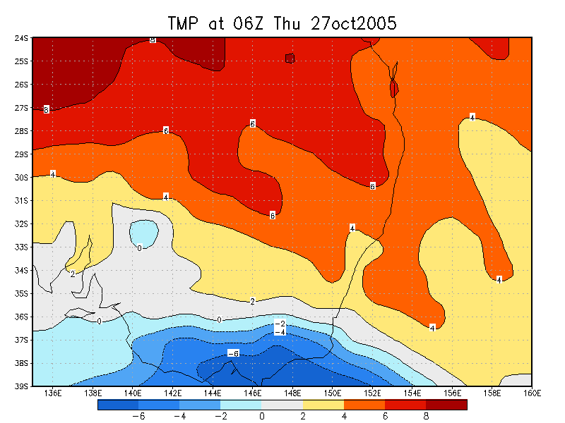
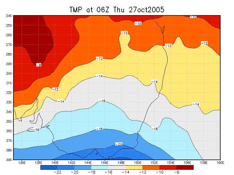
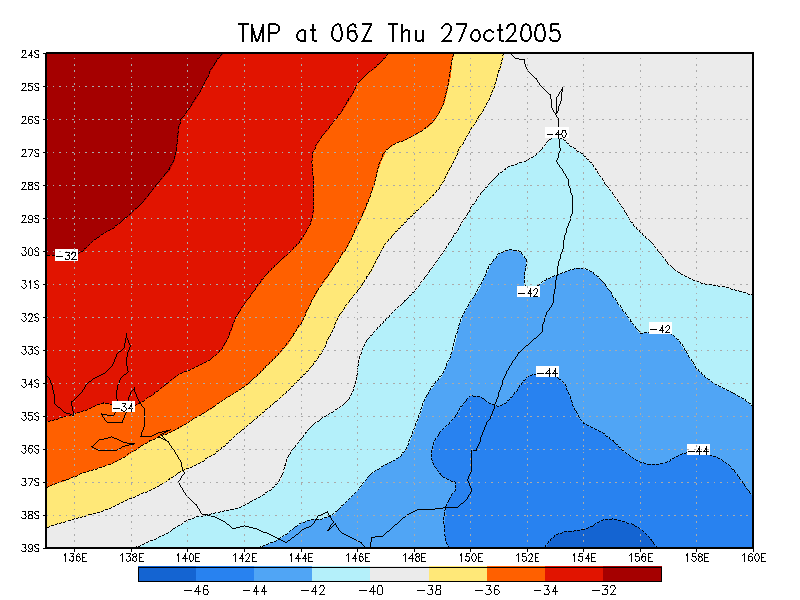
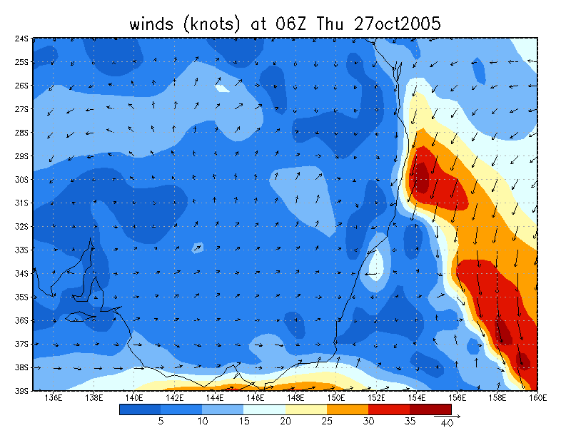
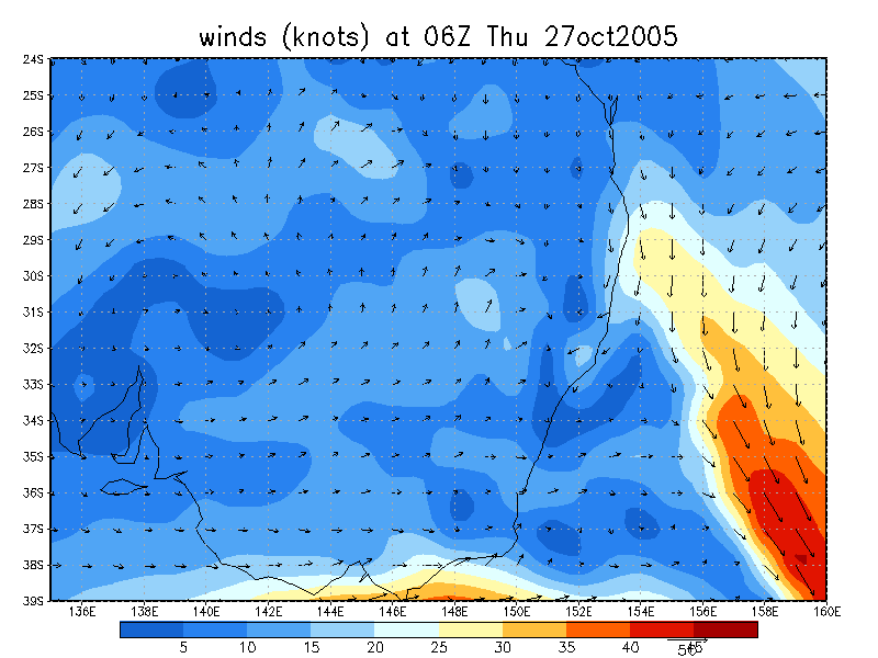
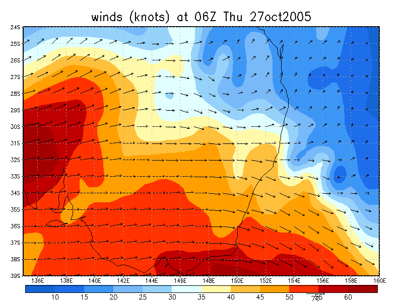
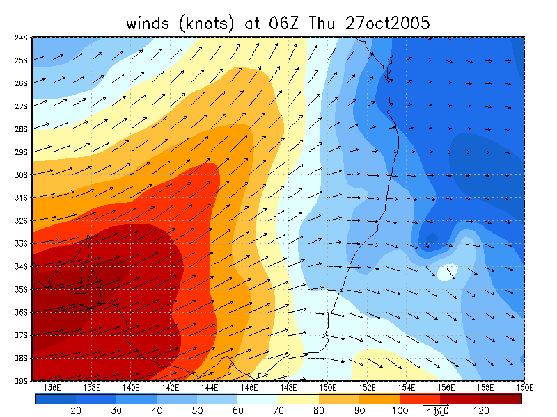
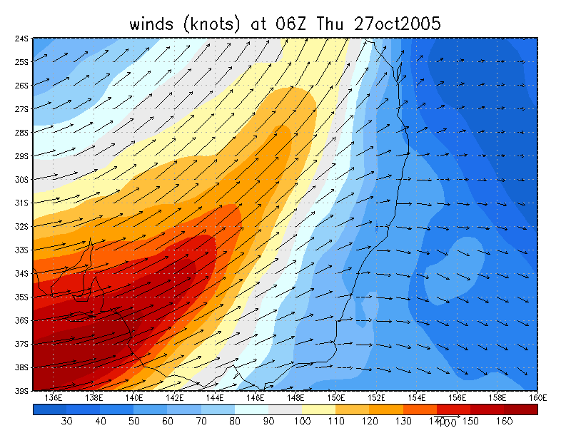
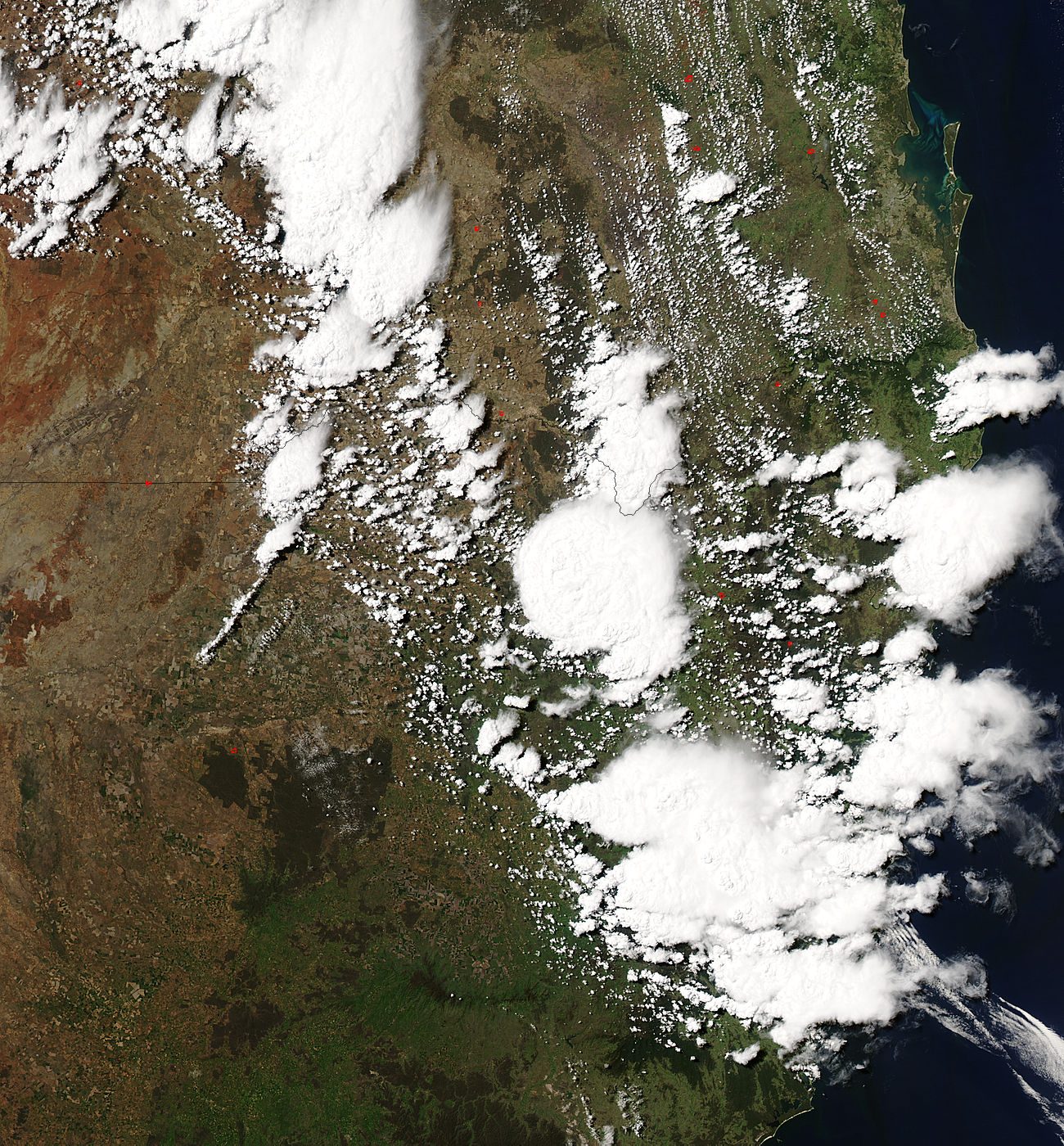 (click for larger view) 1.45pm 27/10 local
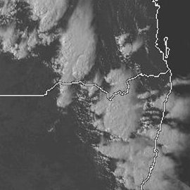
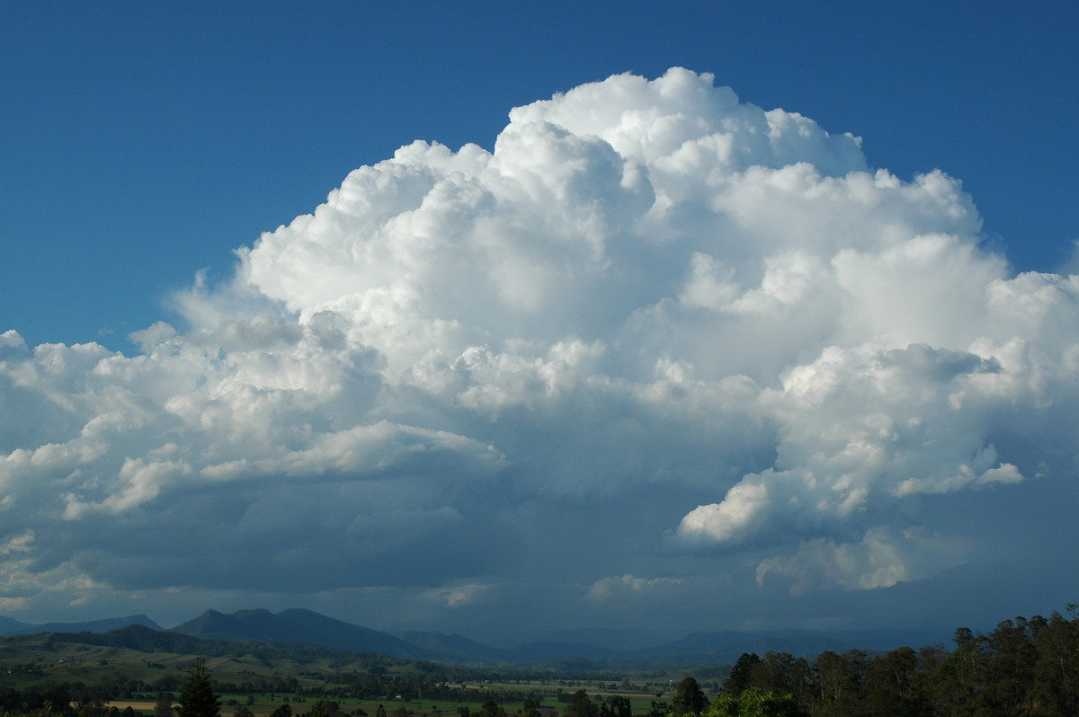
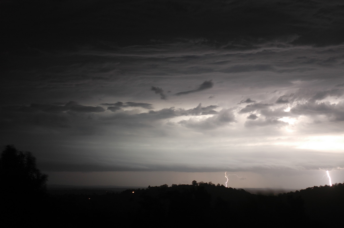
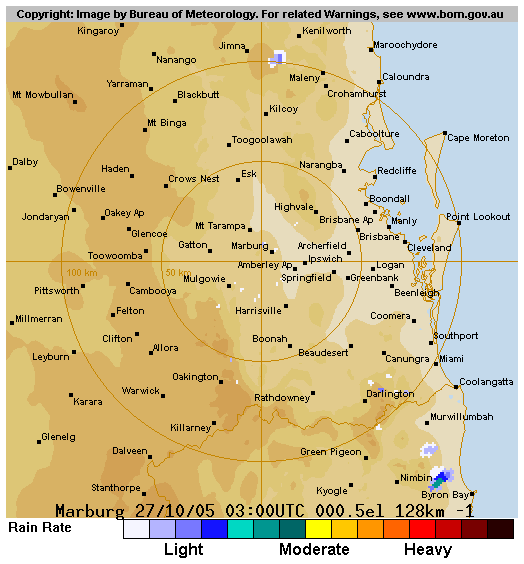
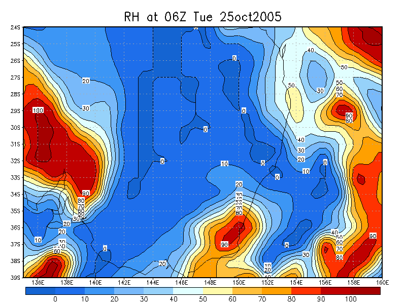
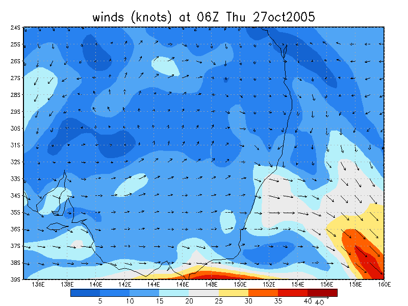
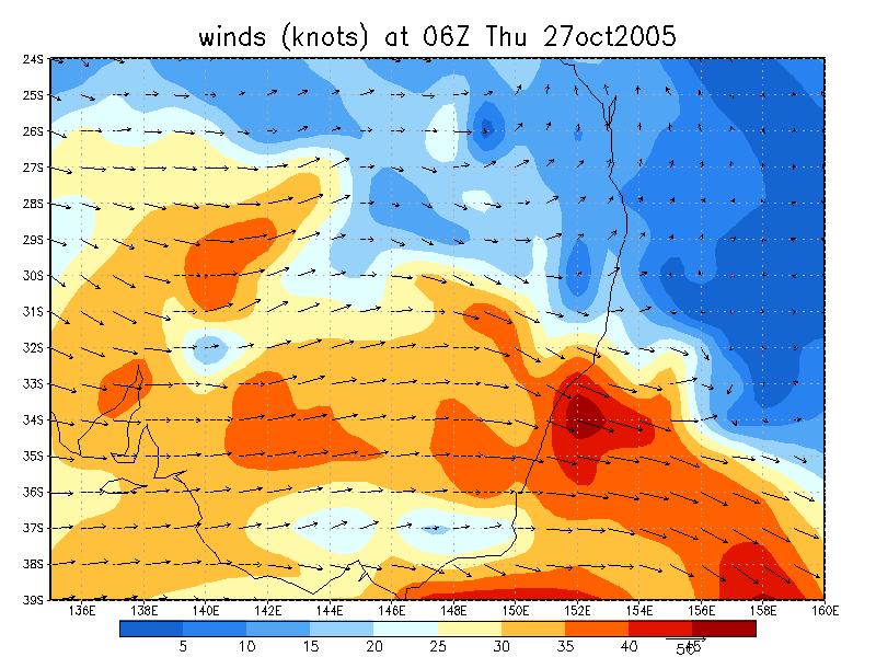
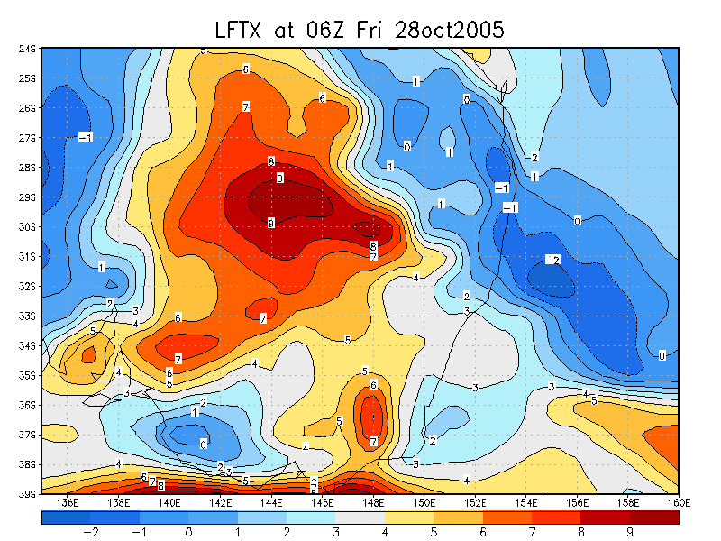
 noon to 5pm 27/10 local
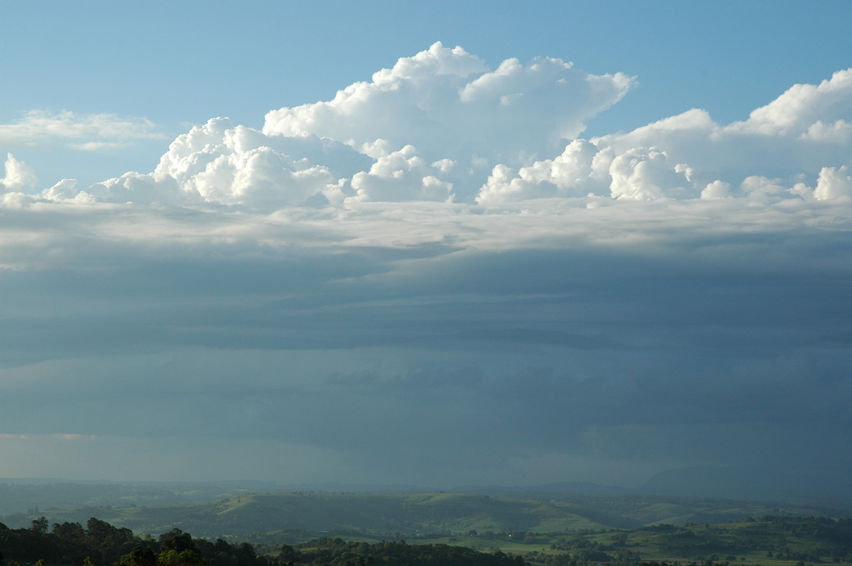
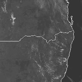
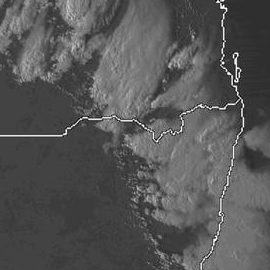
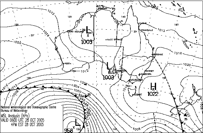
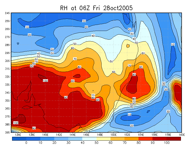
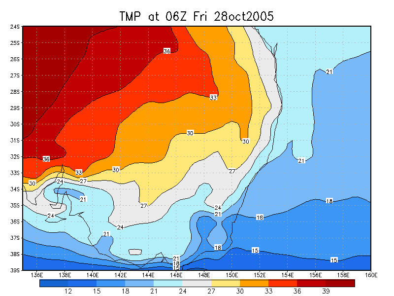
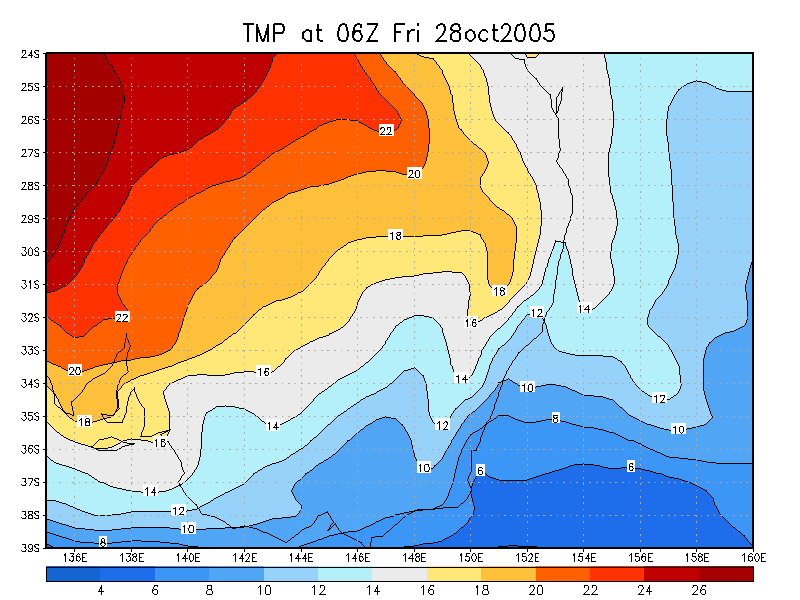
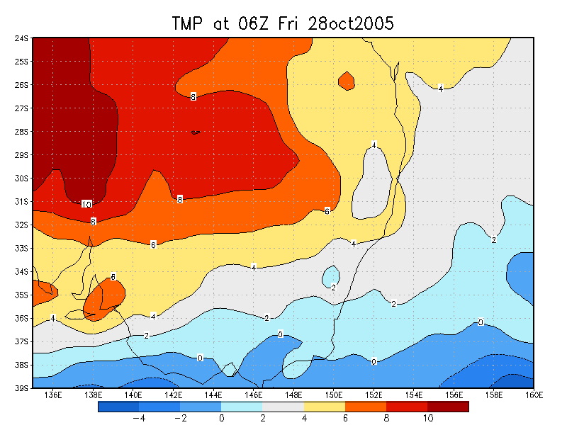
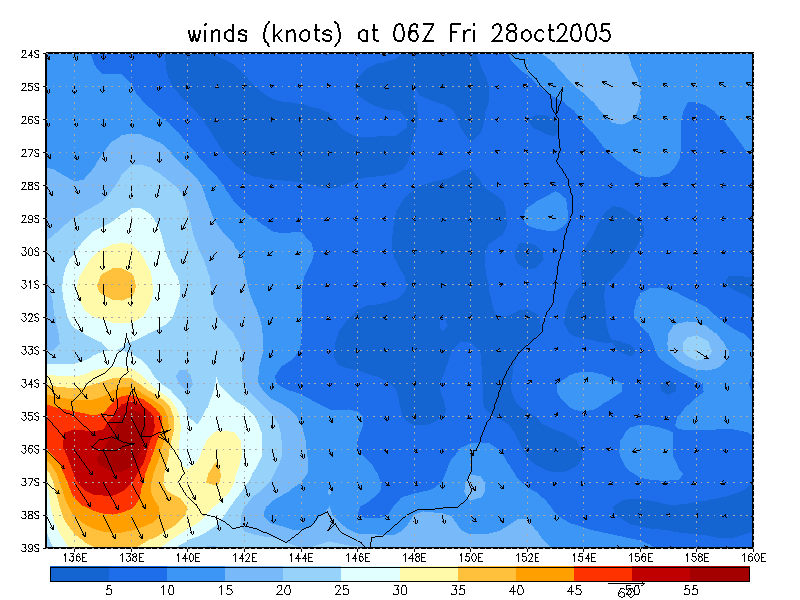
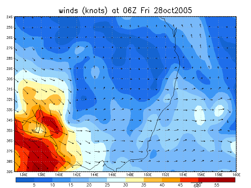
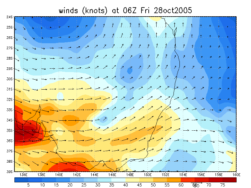
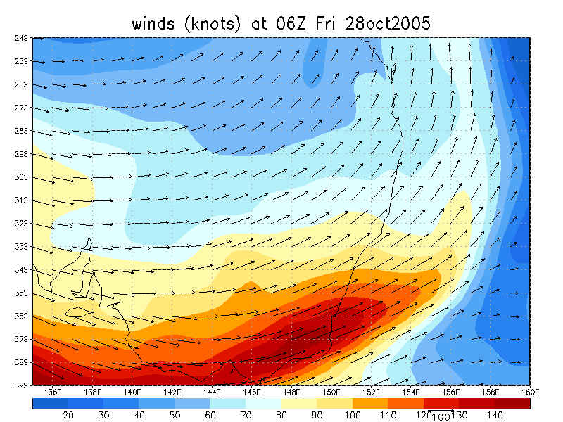
 4pm 28/10 local
From Bureau of Meteorology
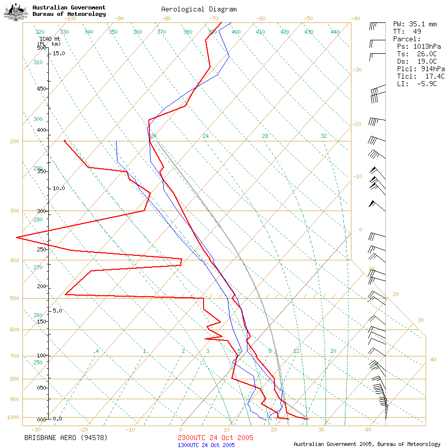 Brisbane sounding at 9am 25/10 local
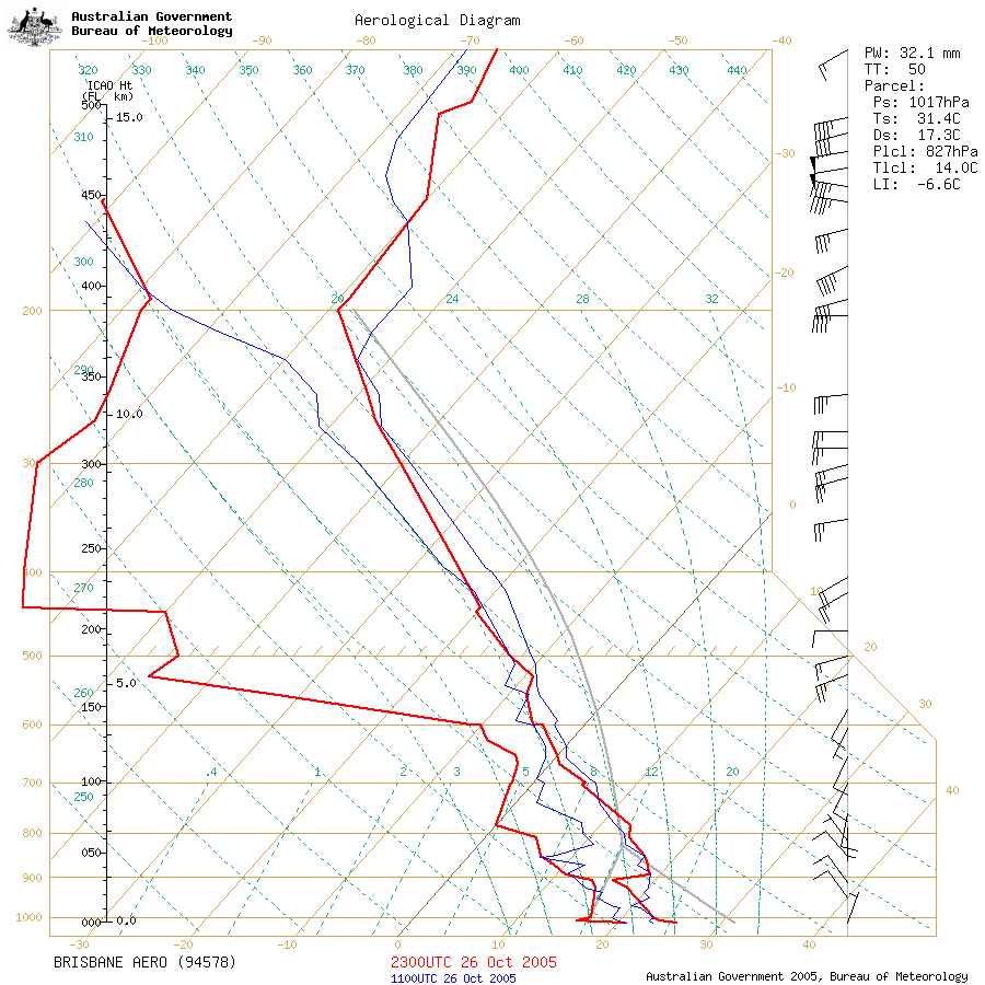
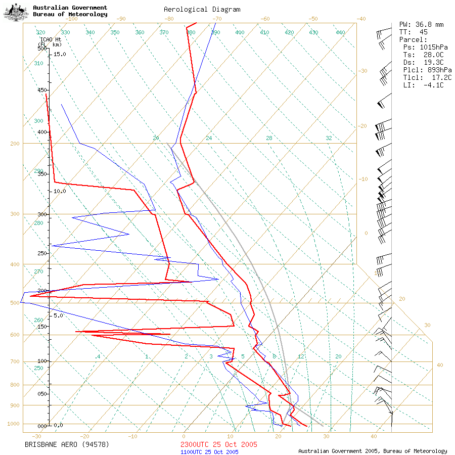 Brisbane sounding at 9am 26/10 local
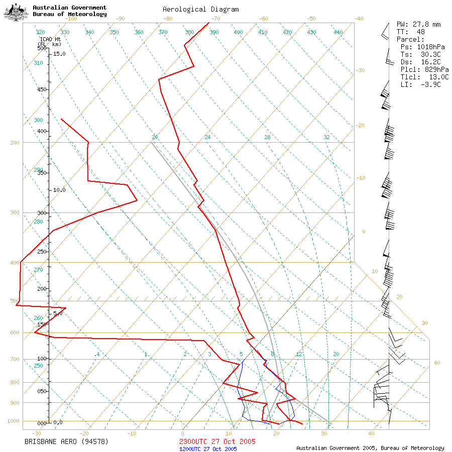
 Brisbane sounding at 9am 27/10 local
 Brisbane sounding at 9am 28/10 local
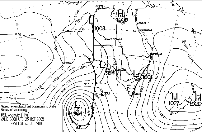
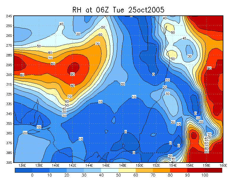
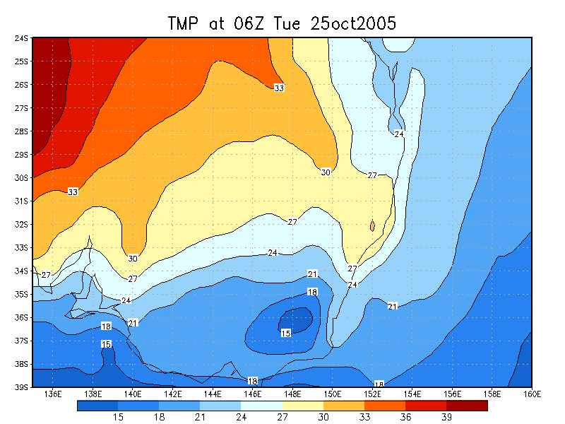
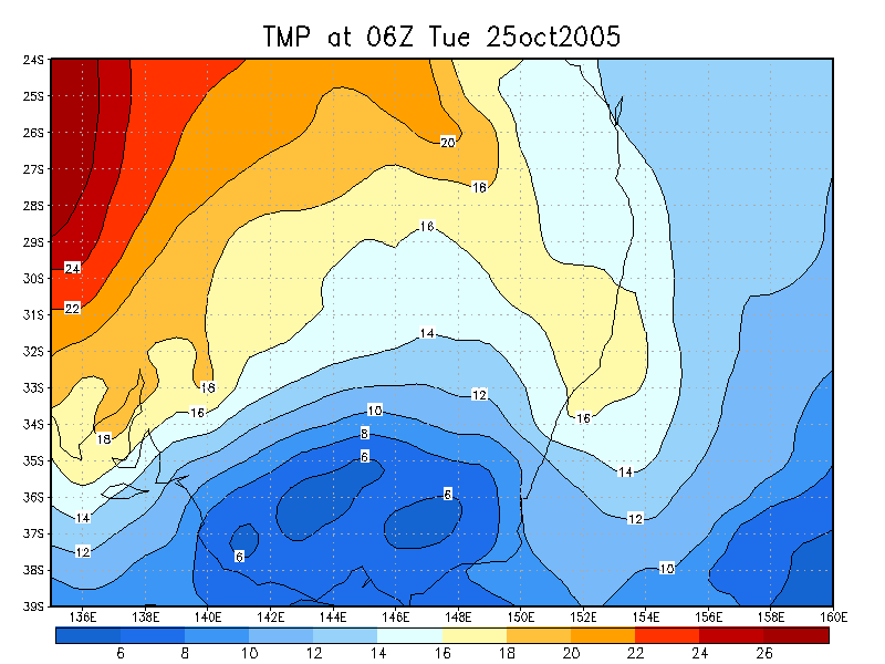
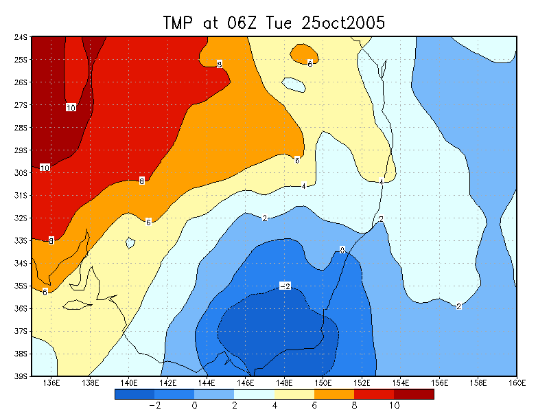
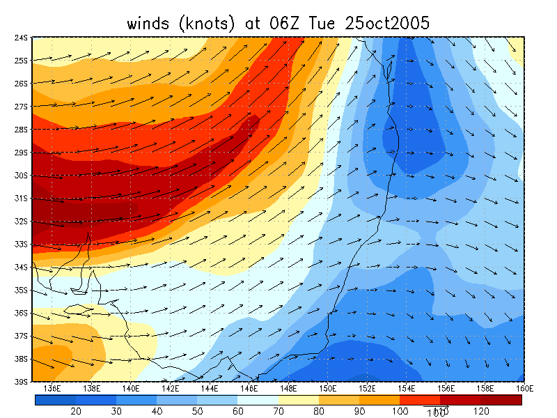
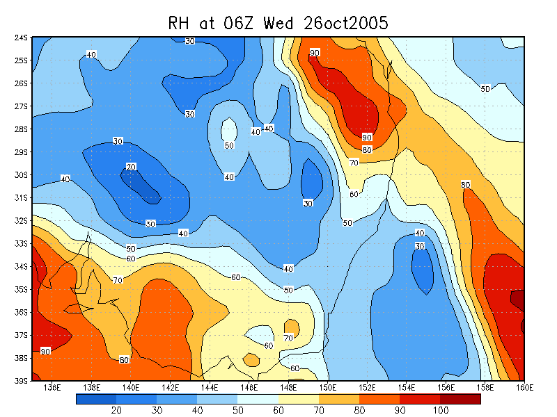
From NOAA 25/10/2005 06z analysis
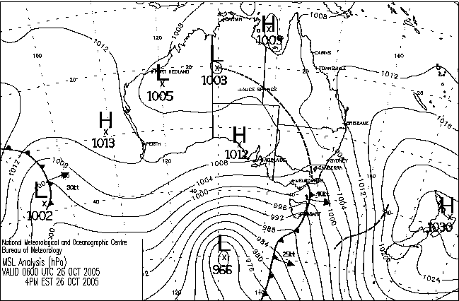
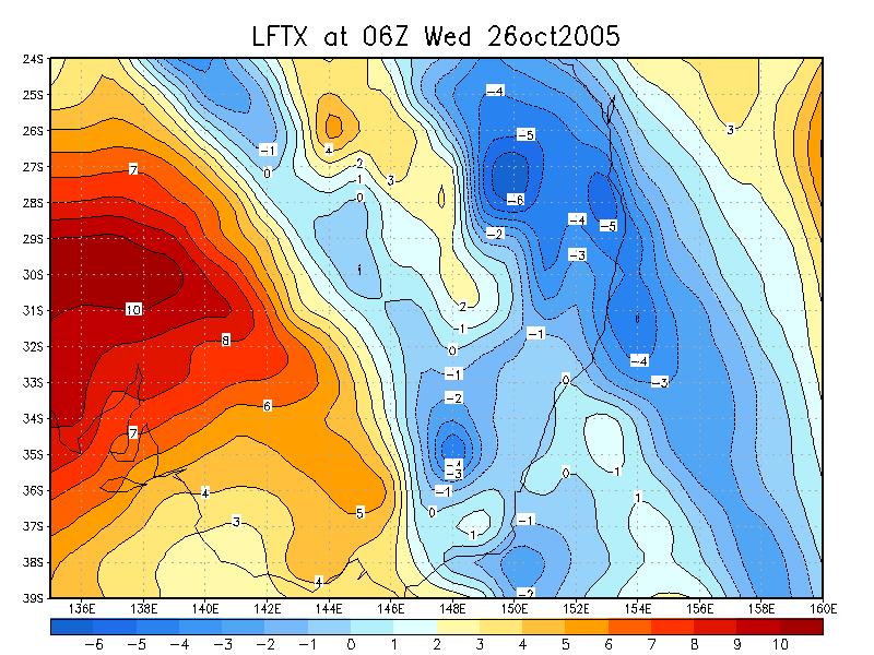
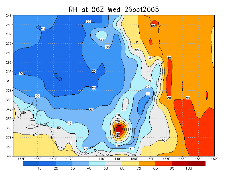
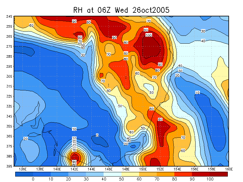
From NOAA 26/10/2005 06z analysis
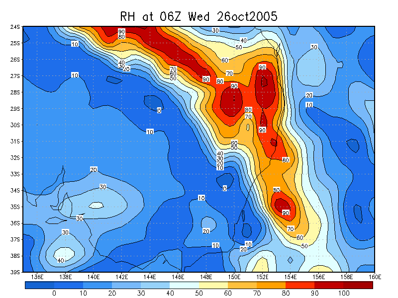
From NOAA 27/10/2005 06z analysis
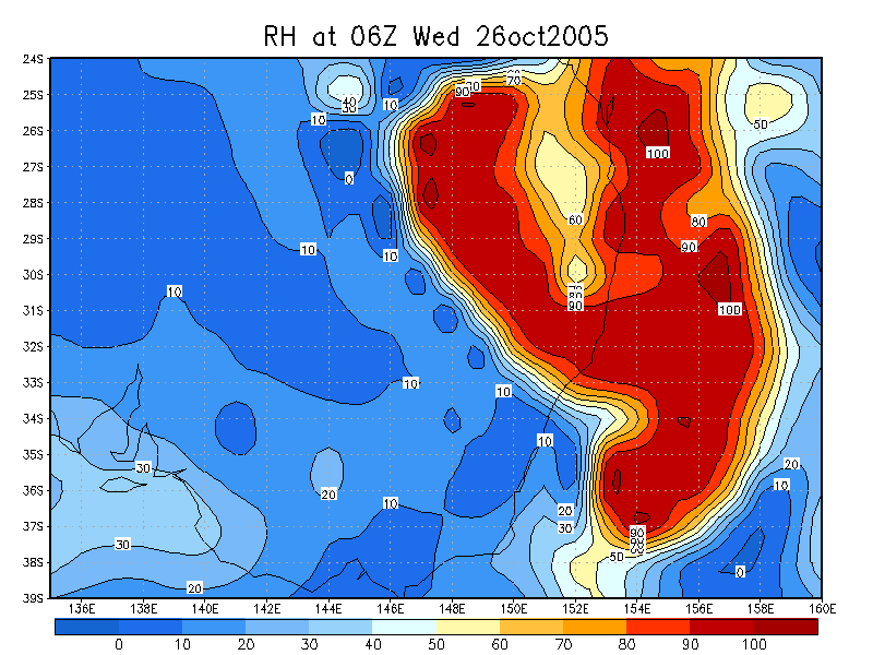
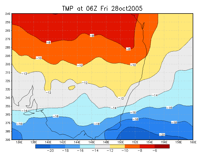
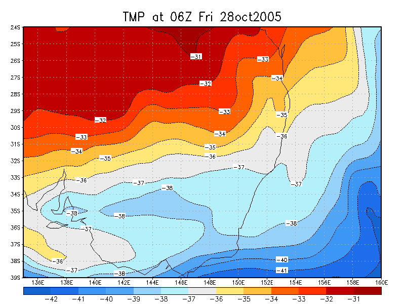
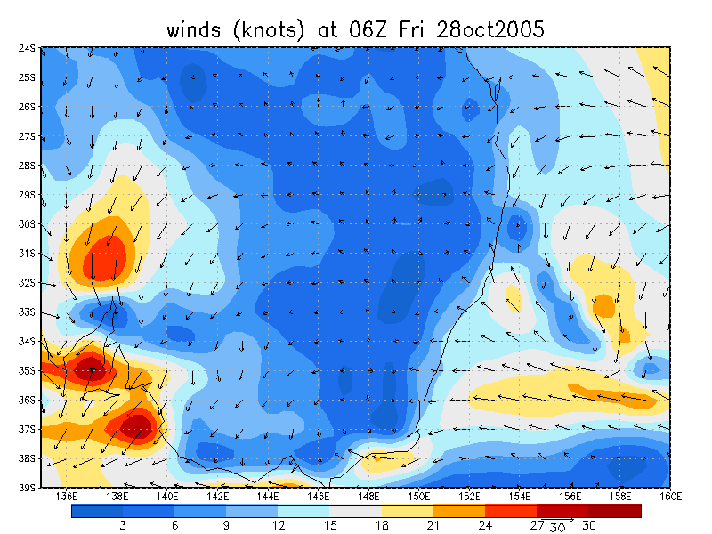
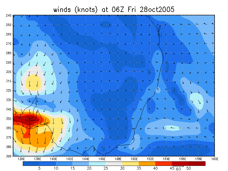
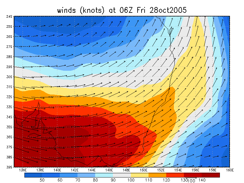
From NOAA 28/10/2005 06z analysis
|
Document: 200510-03.htm Updated: 18th December, 2005 |
[Australian Severe Weather index] [Copyright Notice] [Email Contacts] [Search This Site] |