and Chasing
[Index][Archives]
Late Season Severe Storm Development Through the Inland Northern Rivers: Thursday 10th March 2005
Report compiled by Dave Ellem and Michael Bath
| Storm News and Chasing [Index][Archives] |
Late Season Severe Storm Development Through the Inland Northern Rivers: Thursday 10th March 2005 Report compiled by Dave Ellem and Michael Bath |
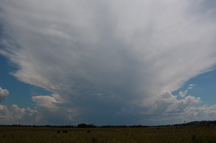
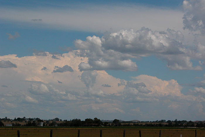
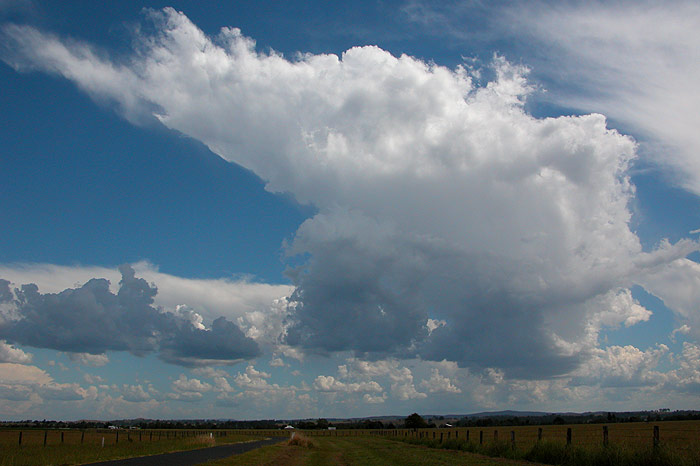
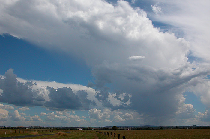
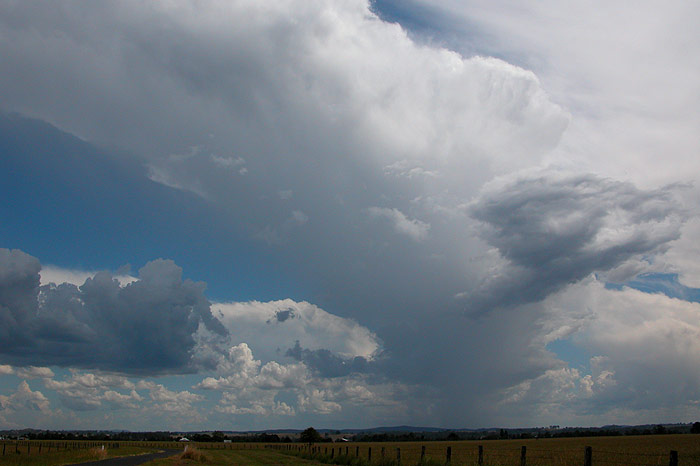
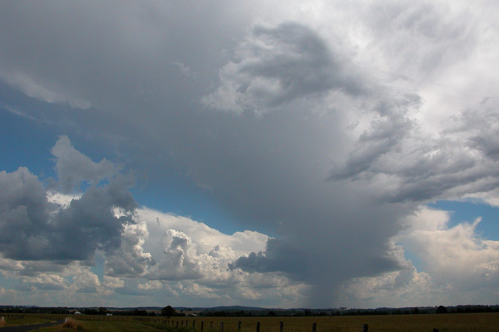
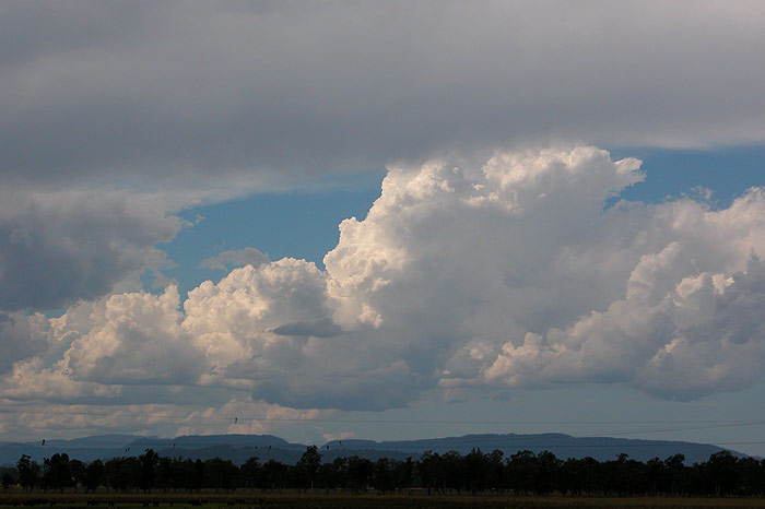
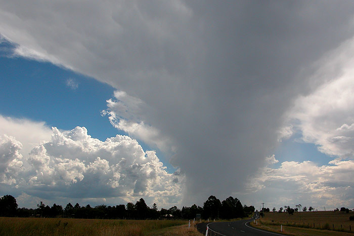
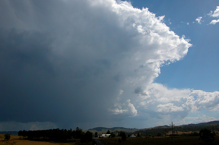
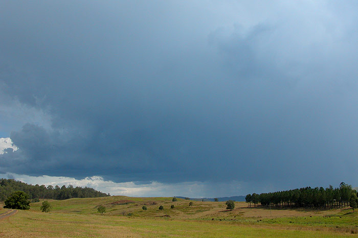
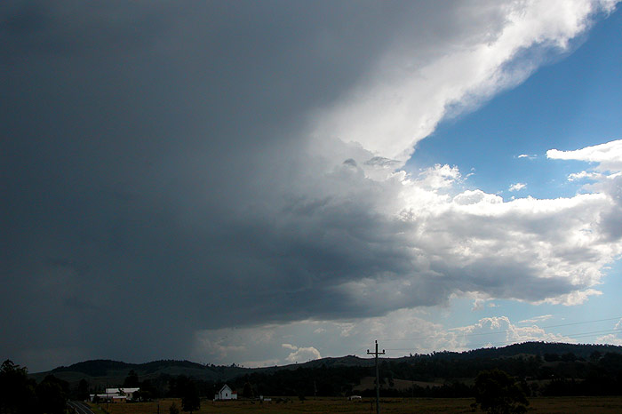
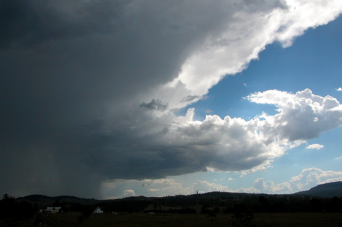
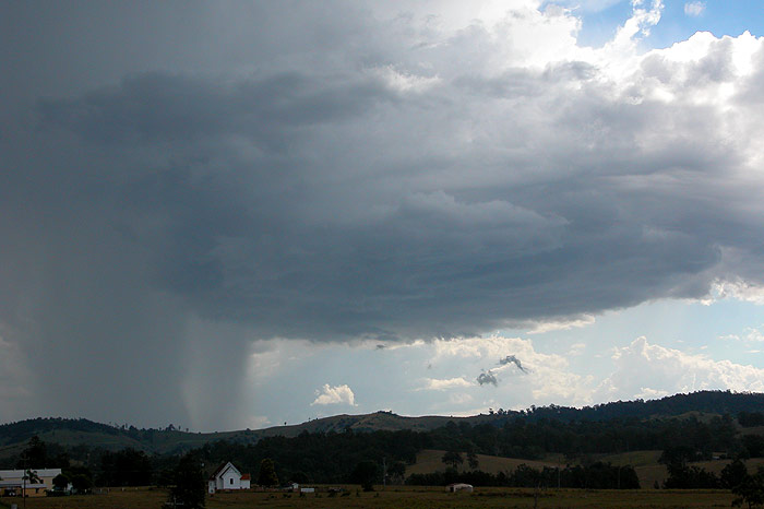
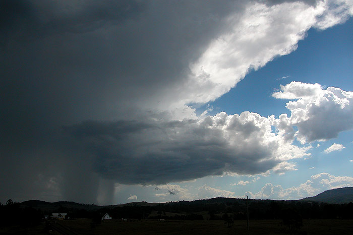
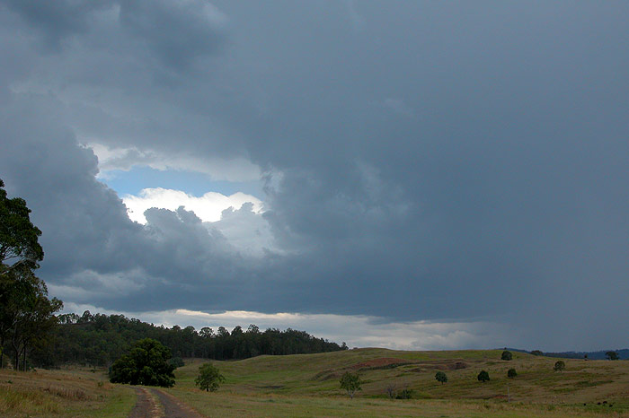
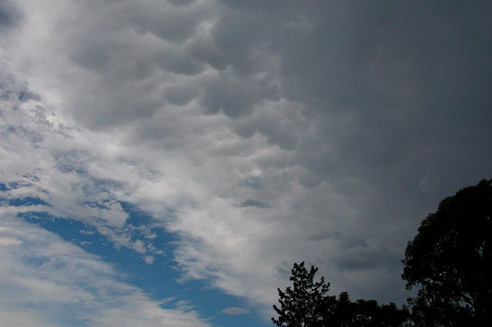
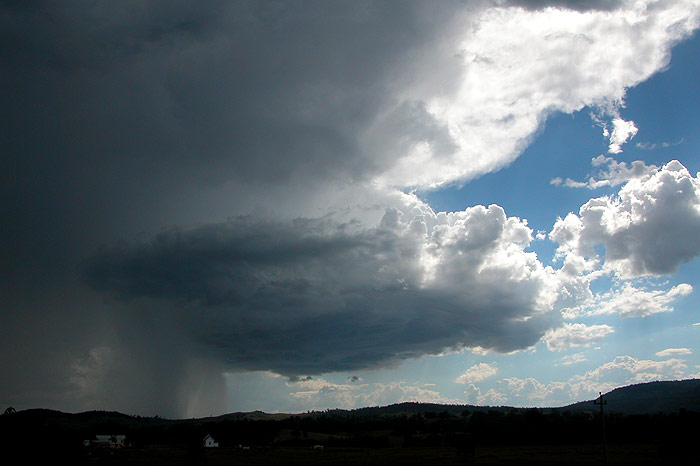
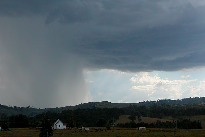
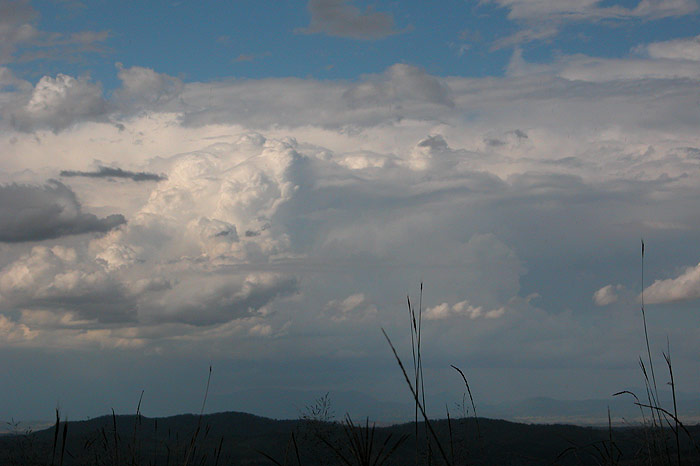
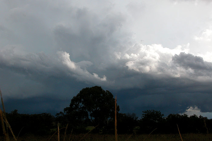
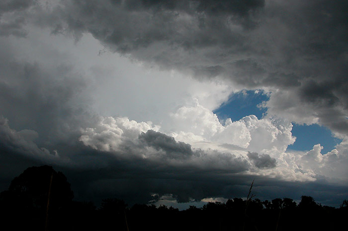
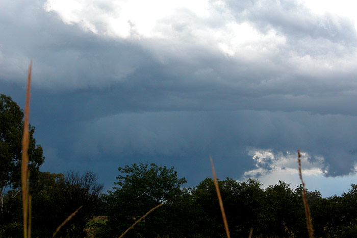
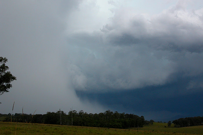
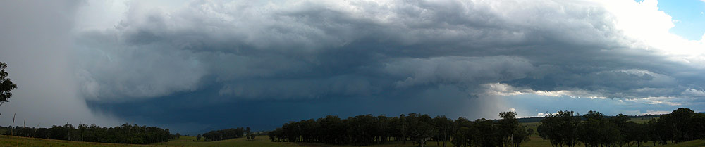
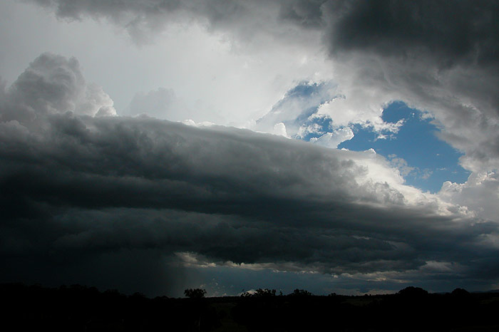
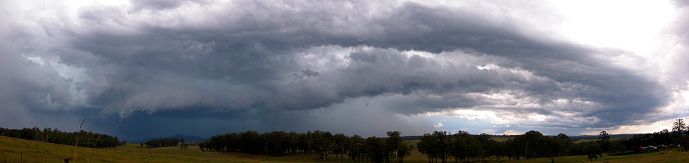
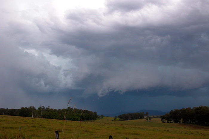
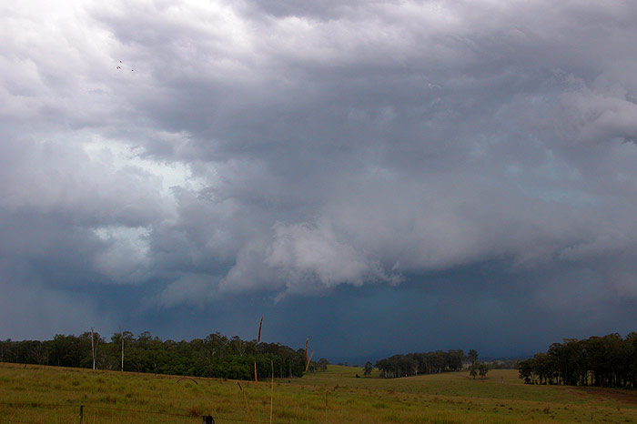
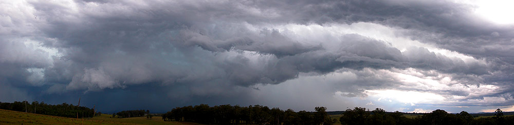
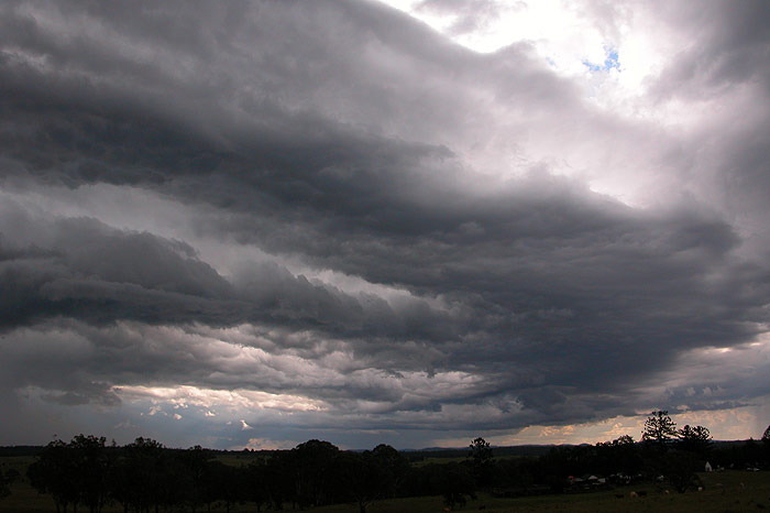
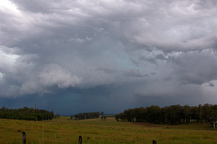
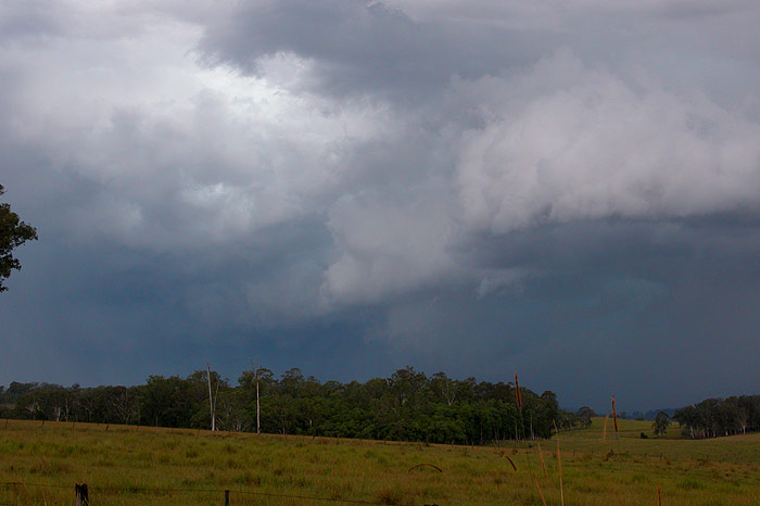
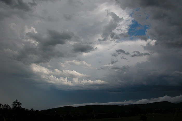
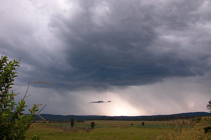
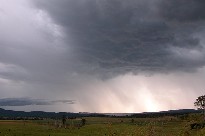
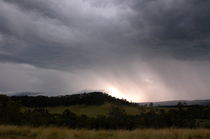
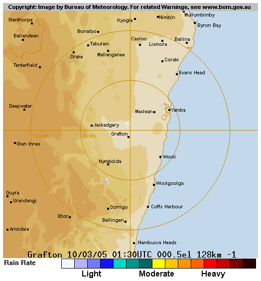
A weak surface trough in the region gained upper level support thanks to an upper trough, increasing instability and wind shear across NE NSW and leading to severe storm development in the inland parts of the Northern Rivers. A number of storms developed locally, but the highlight of the day was a cell which tracked N from SW of Grafton for several hours, eventually reaching our target area near Mallanganee before rapidly dying after interacting with other local development. Below are some pictures from the chase.


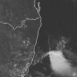
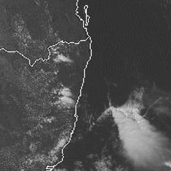
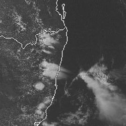
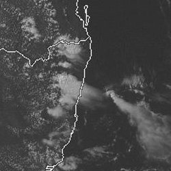
From Weatherzone: 1pm to 6pm local
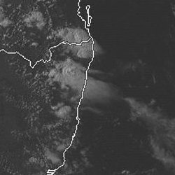
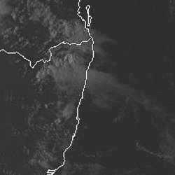
From MODIS: Land Rapid Response System:
03.40z MODIS 500m resolution image 10/03/2005 (2.40pm local)
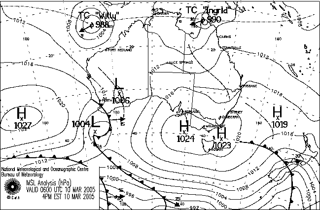
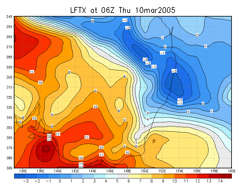
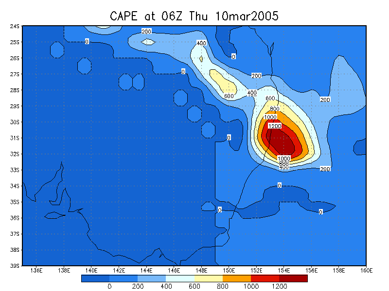
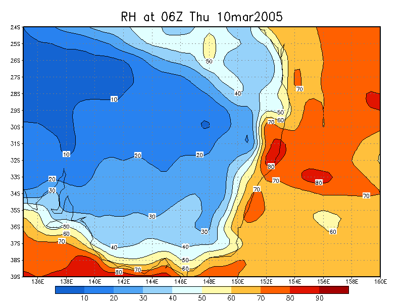
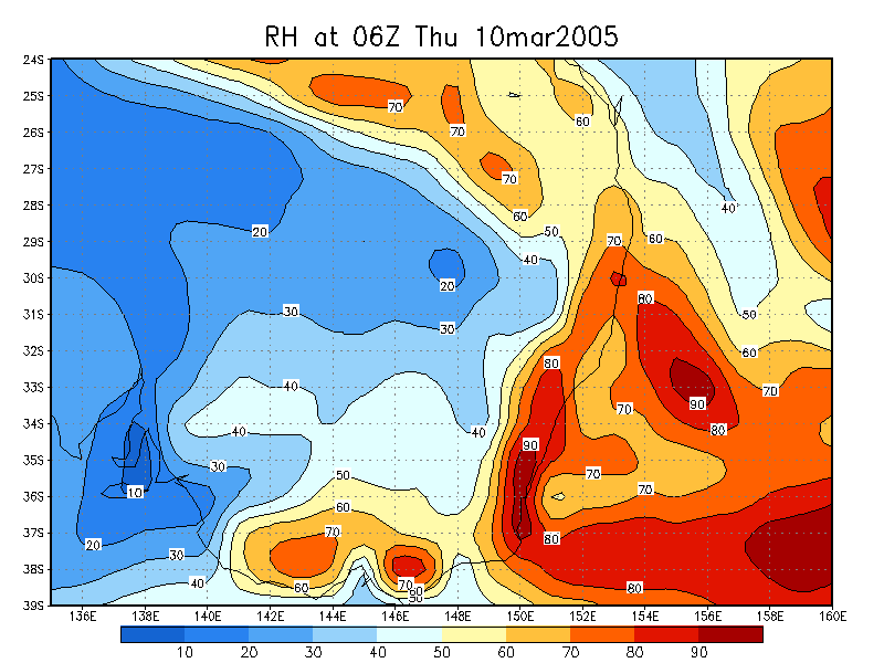
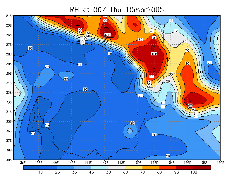
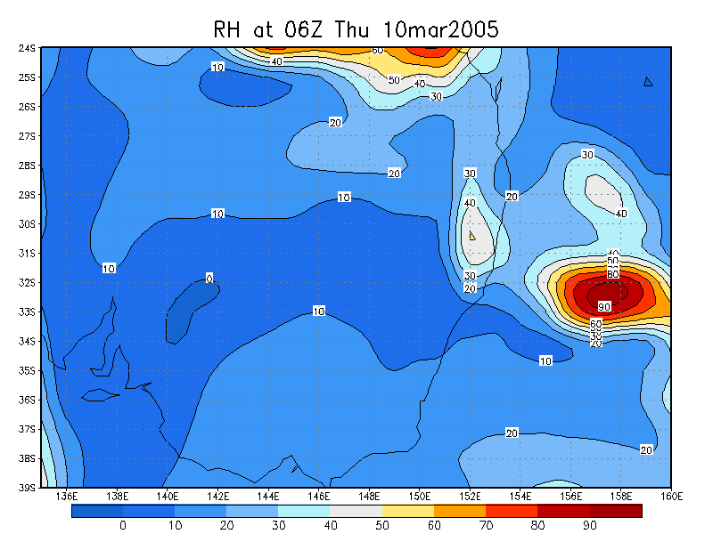
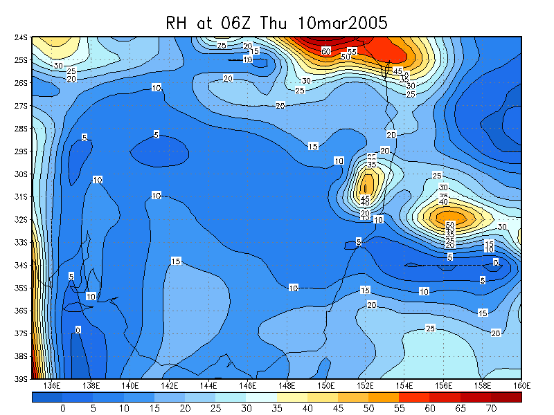
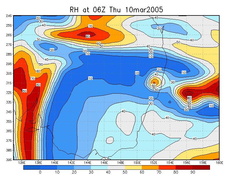
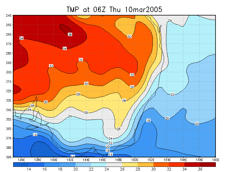
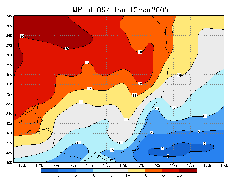
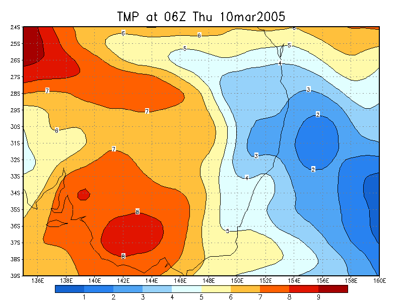
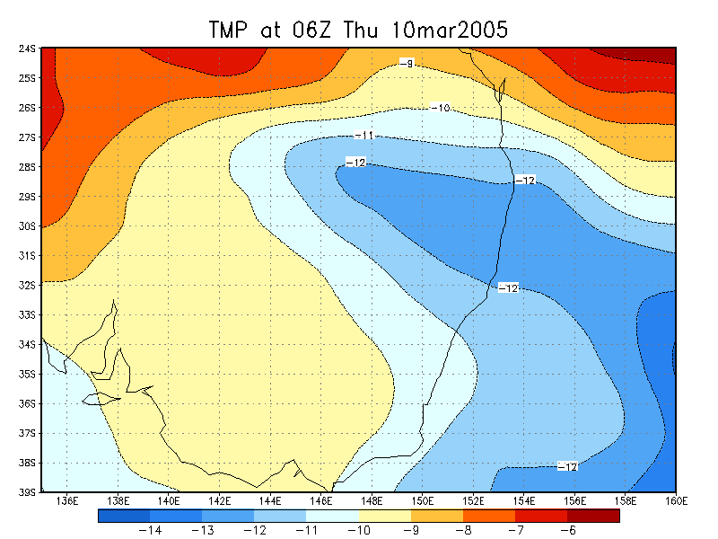
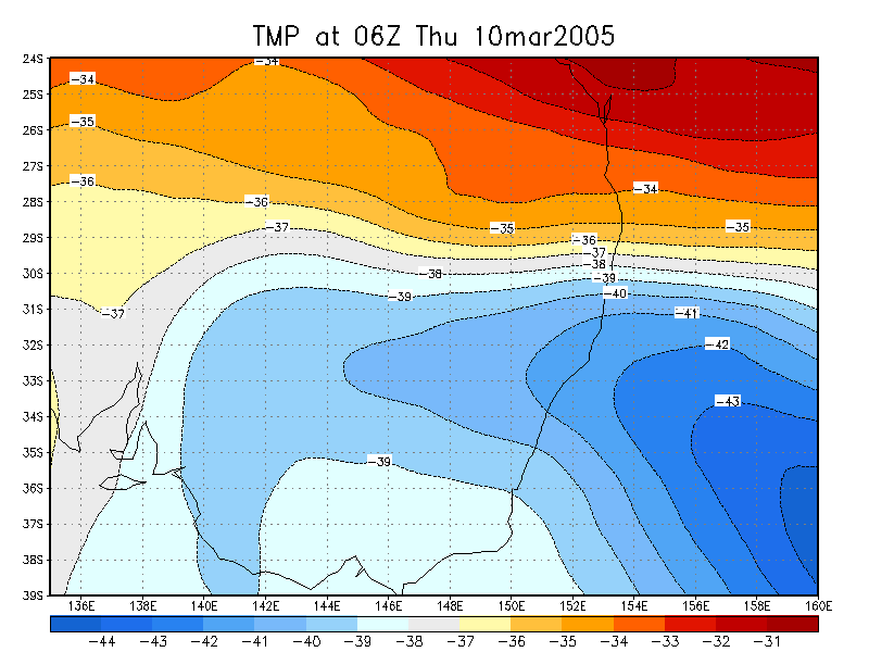
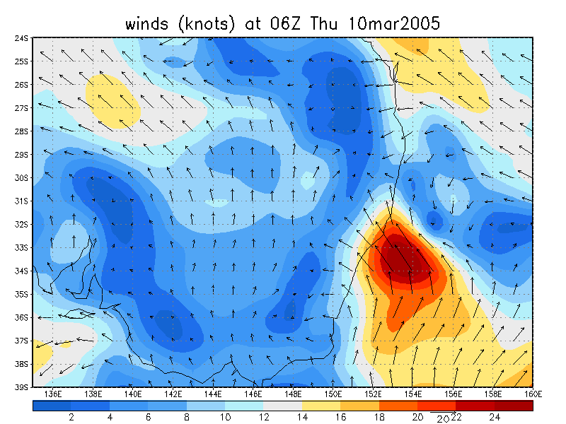
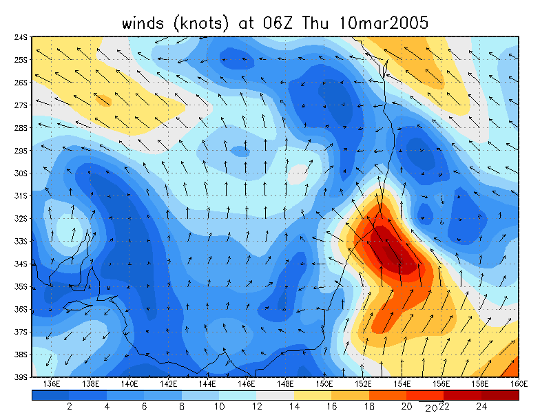
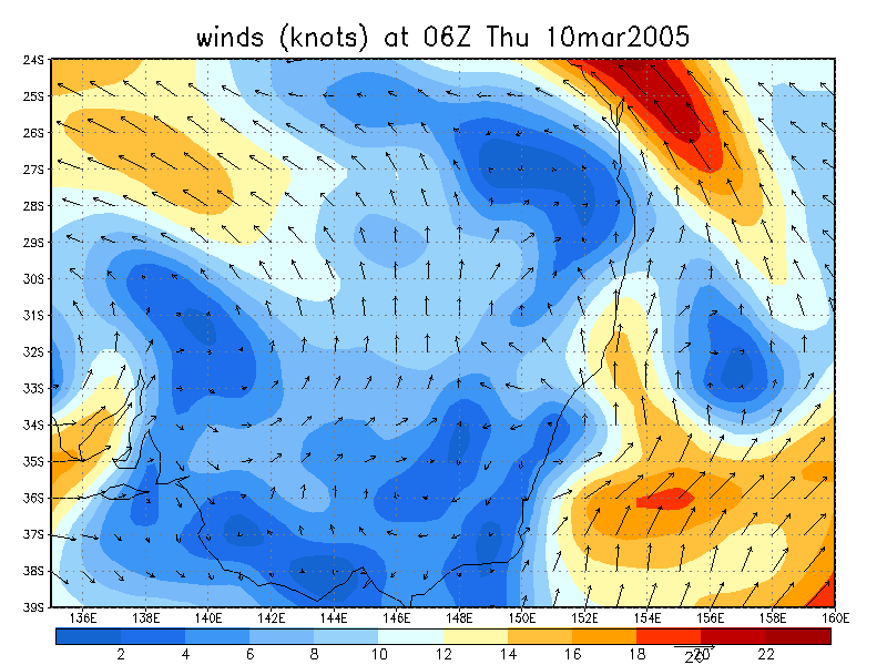
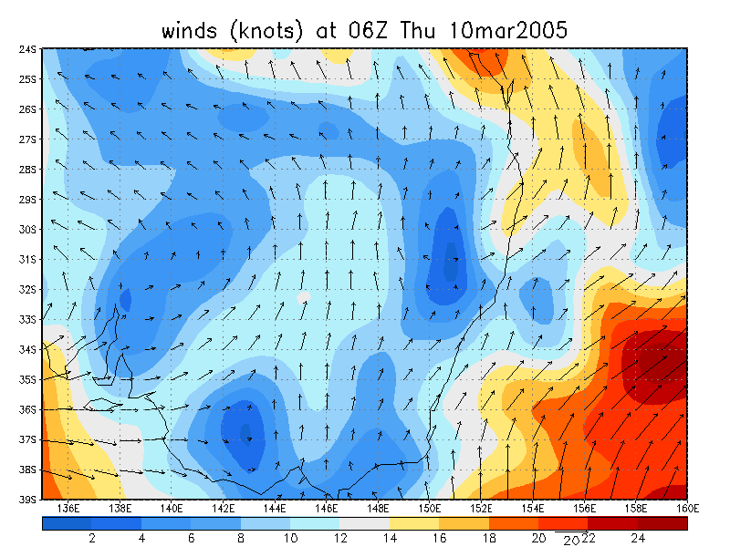
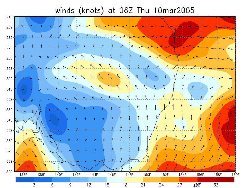
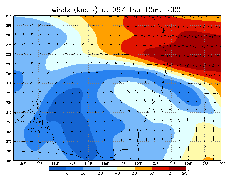
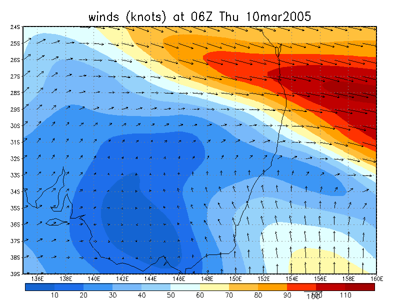
From NOAA 10/03/2005 06z analysis run
|
Document: 200503-01.htm
Updated: 22nd April, 2005 |
[Australian Severe Weather index] [Copyright Notice] [Email Contacts] [Search This Site] |