and Chasing
[Index][Archives]
Multicell Storm Chase in NE NSW: Tuesday 22nd February 2005
Report compiled by Dave Ellem and Michael Bath
| Storm News and Chasing [Index][Archives] |
Multicell Storm Chase in NE NSW: Tuesday 22nd February 2005 Report compiled by Dave Ellem and Michael Bath |
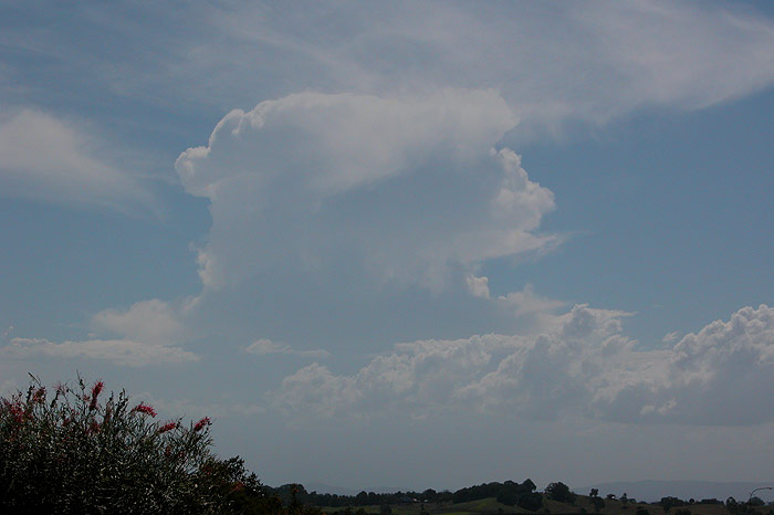
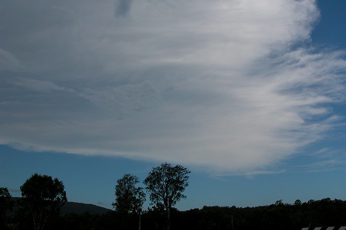
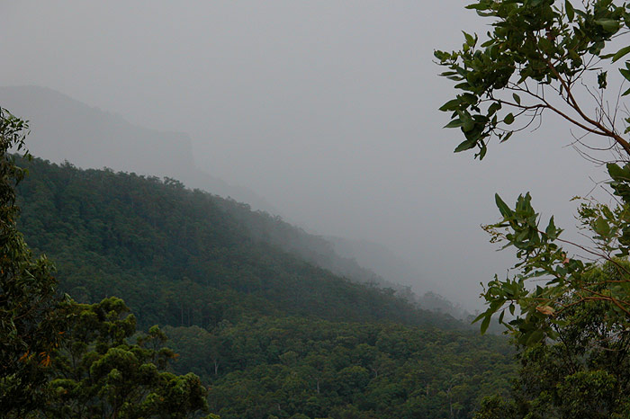
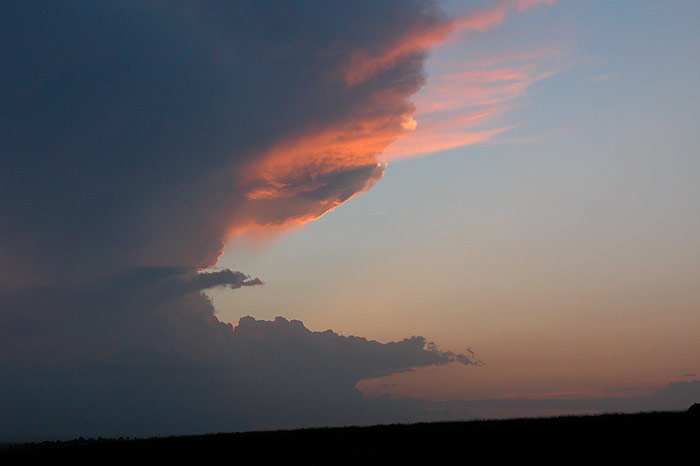
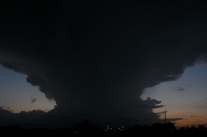
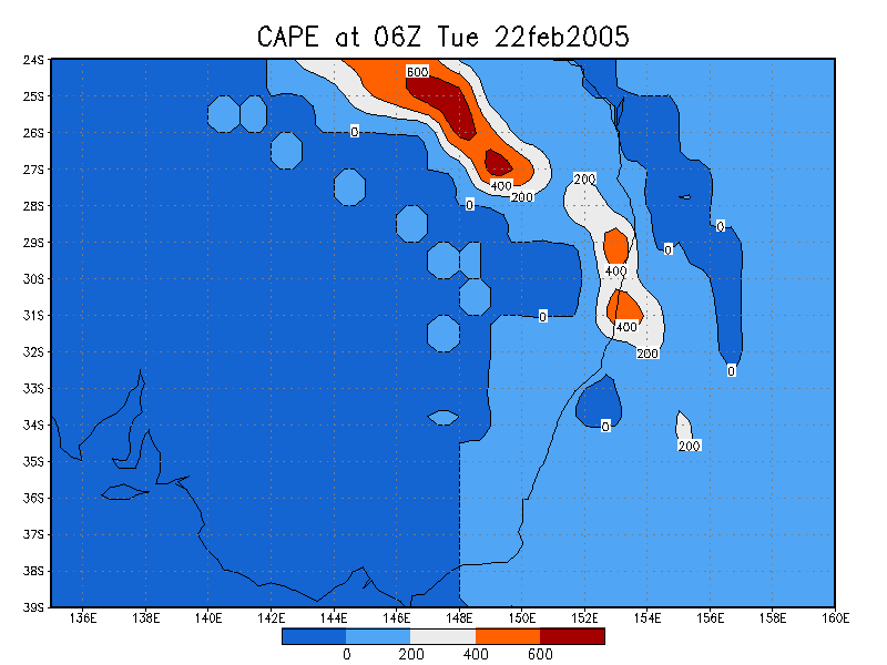
Another marginal setup for the Northern Rivers! Instability was very weak (cape around 600) with a fairly dry moisture profile and moderate to weak shear. One cell managed to get going near Kyogle, and at stages looked quite strong, with crisp updrafts pushing up and out into a crisp anvil. It weakened when Michael Bath and I intercepted it N of Kyogle, but soon reintensified as we headed back south again. With huge clear air CGs jumping out of the top of the anvil towards us, the temptation was too great and we headed back after it. We soon discovered that this day, the strength of any storm was proportional to our distance away from the cell, and we witnessed the briefly strong storm weaken as it hit the NSW/QLD border.
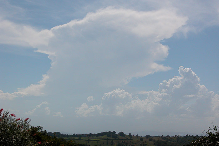
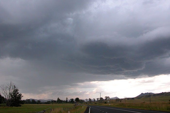
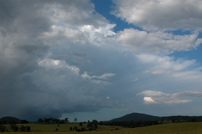

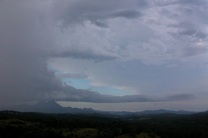
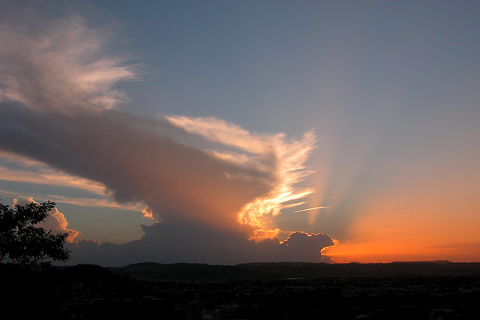
We headed back towards Lismore to head home, but new development SW of Casino caught our attention at around 7pm, so we grabbed some dinner in Lismore and watched the cells from a lookout at Lismore Heights. We were treated to a nice sunset as the sun dipped below some convection. While we thought the cell had weakened and was just about dead, we saw a strong updraft push up and out into another thick, crisp anvil. Next stop - Parrots Nest!

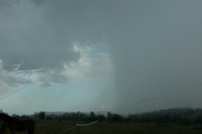
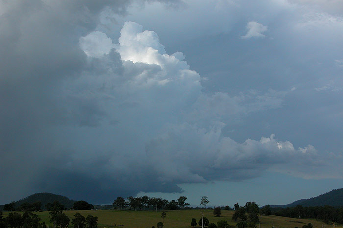
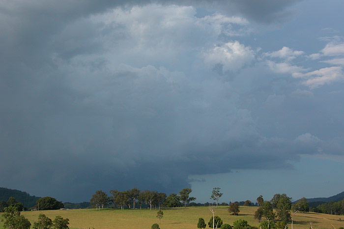
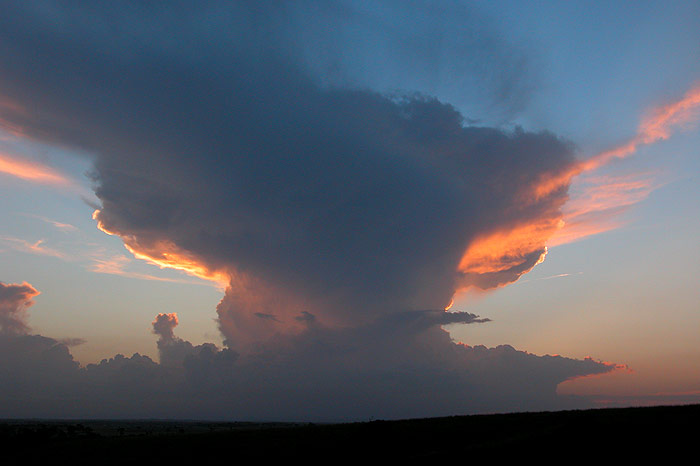
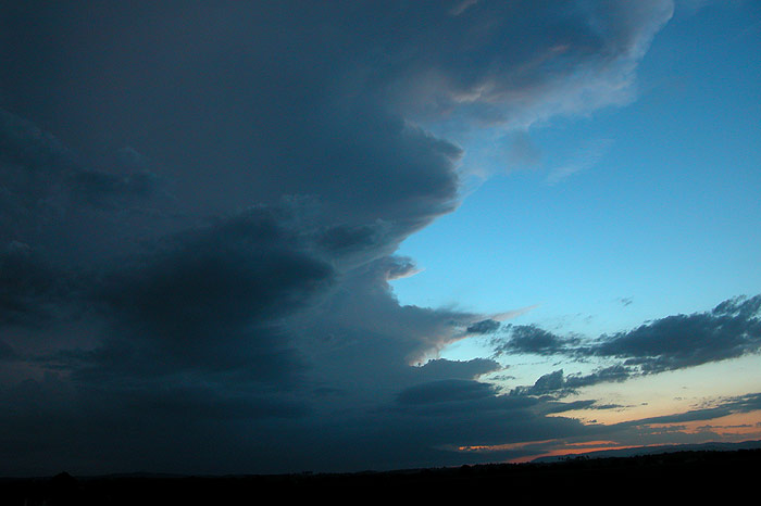
We met up with Beck at Parrots Nest, and were quite excited by the atomic bomb looking structure to our SW. After a few pics we headed further west in the hope it would move off the ranges and give us a lightshow.
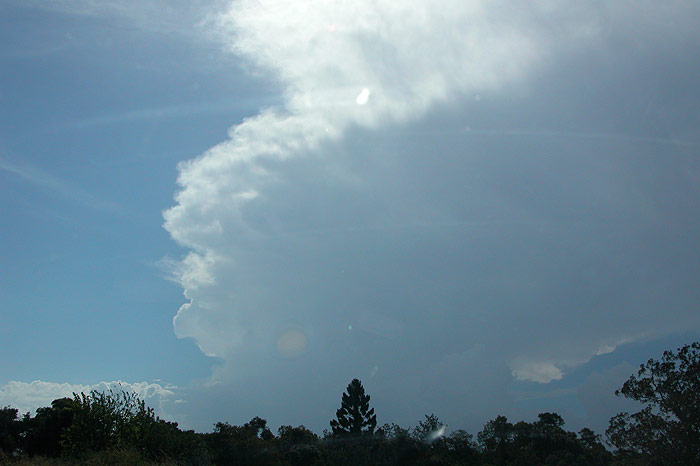
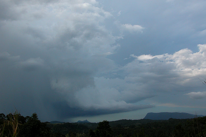
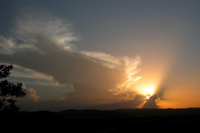
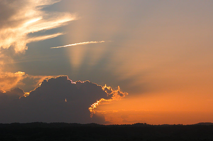
The drive to our spot NW of Casino was exciting with the cell continuing to look quite solid. We made out some nice lightning flashes, though there was concern at the low frequency of lightning. We pressed on, stopping once for some more photos of the structure, along with a little bit of left over sunlight that was illuminating a small section of the anvil.

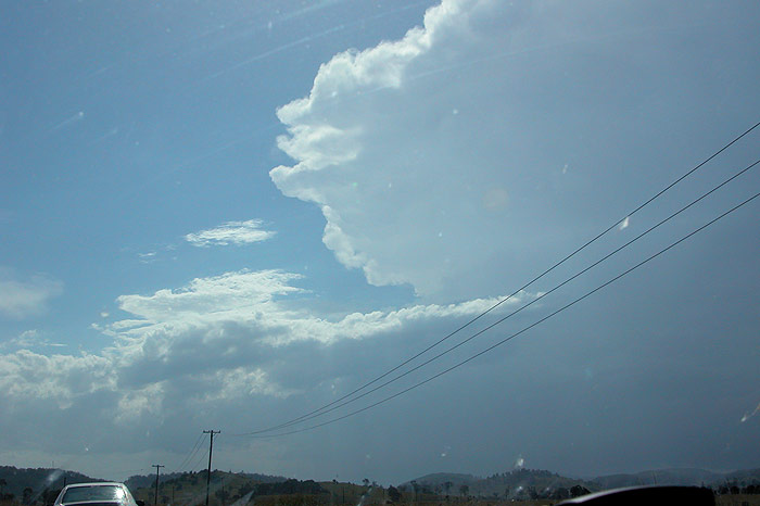
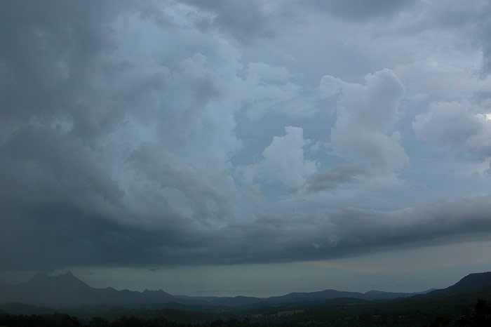
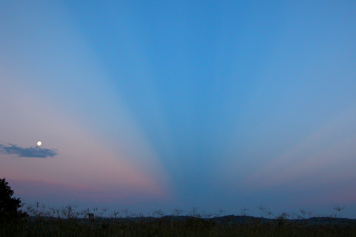
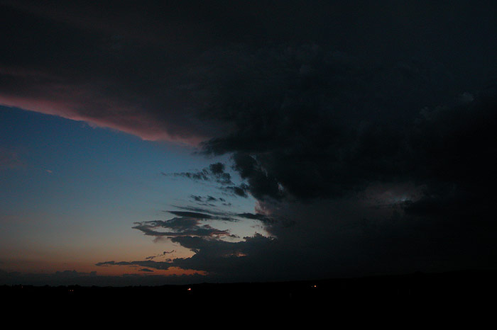
By the time we got to our destination, the cell was giving hardly any lightning, and any flash was dull and seemed to be well behind the storm. We watched for a while but called it quits just after 8pm. The cell continued to produce occasional lightning till after 9pm, but it was still irregular and dull.
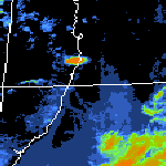
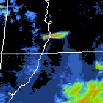
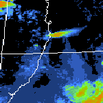
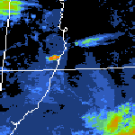
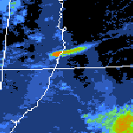
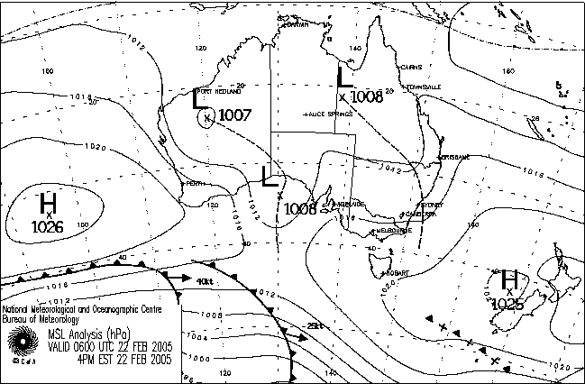
From Bureau of Meteorology: 5pm to 9pm local
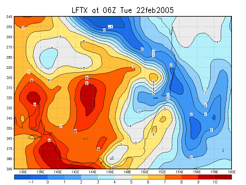
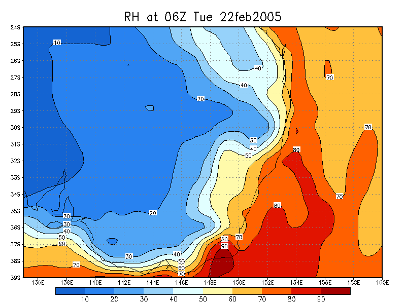
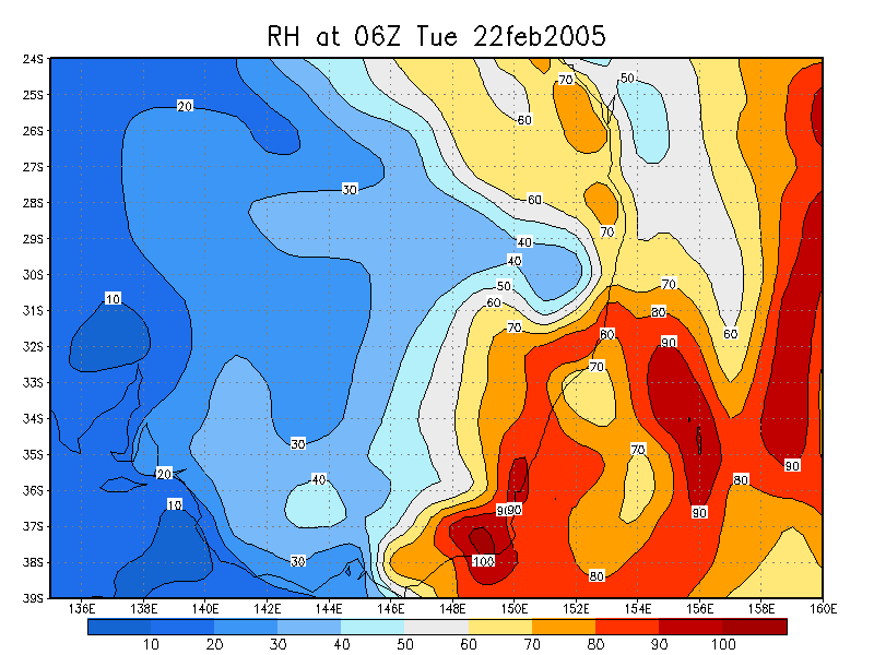
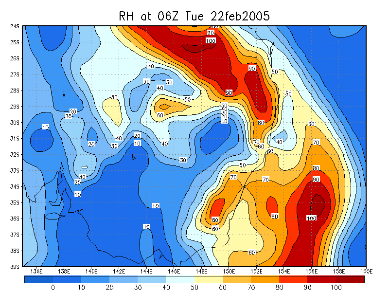
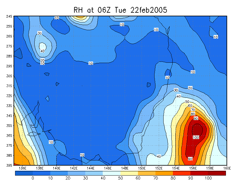
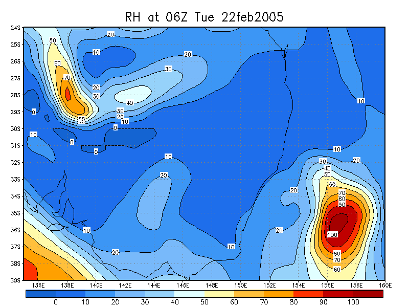
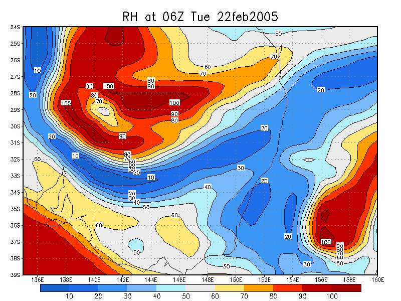
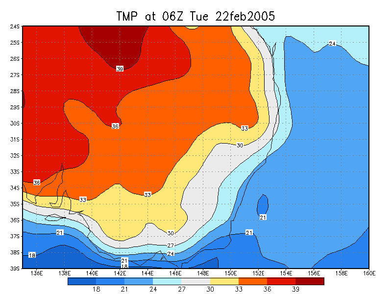
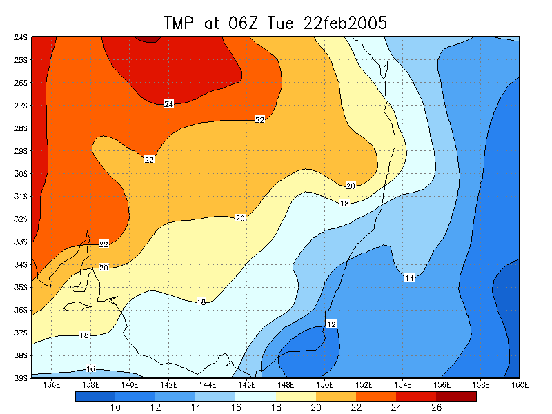
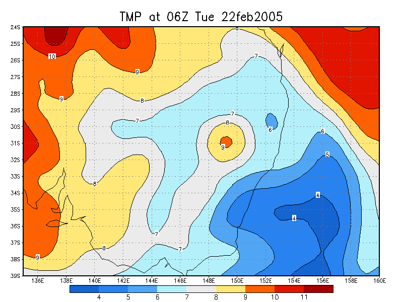
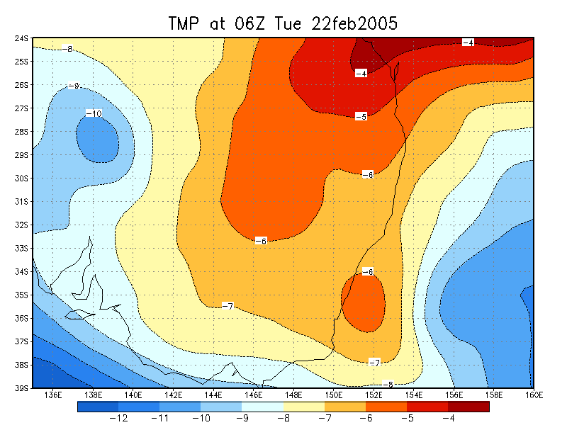
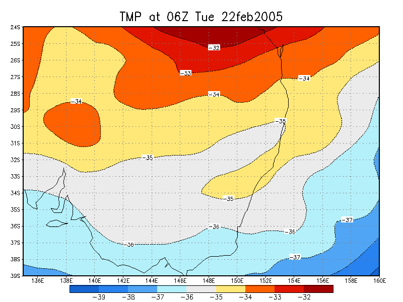
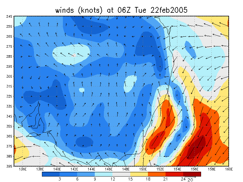
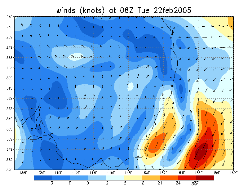
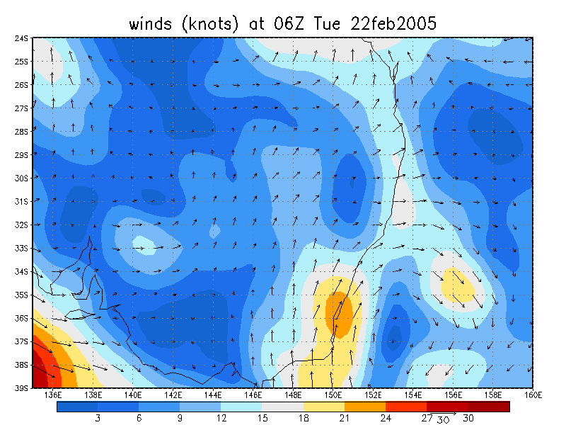
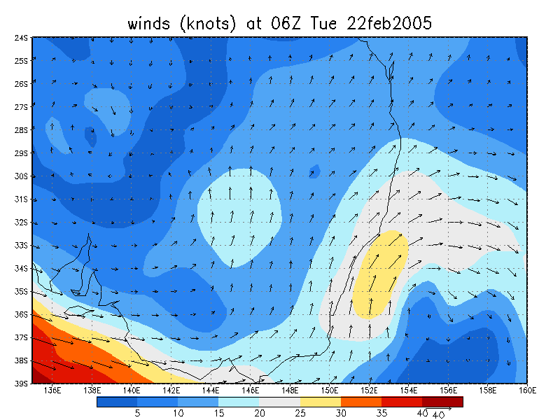
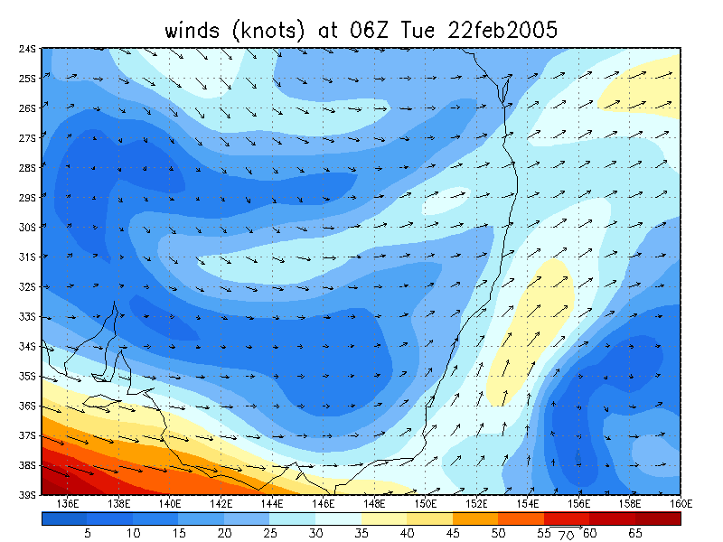
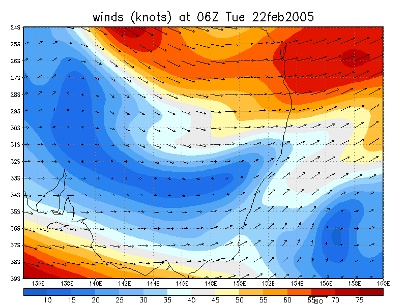
From NOAA 22/02/2005 06z analysis run
|
Document: 200502-04.htm
Updated: 22nd April, 2005 |
[Australian Severe Weather index] [Copyright Notice] [Email Contacts] [Search This Site] |