and Chasing
[Index][Archives]
Extreme Heat With Storms in the Northern Rivers: Friday 26th December 2003
by Dave Ellem
| Storm News and Chasing [Index][Archives] |
Extreme Heat With Storms in the Northern Rivers: Friday 26th December 2003 by Dave Ellem |
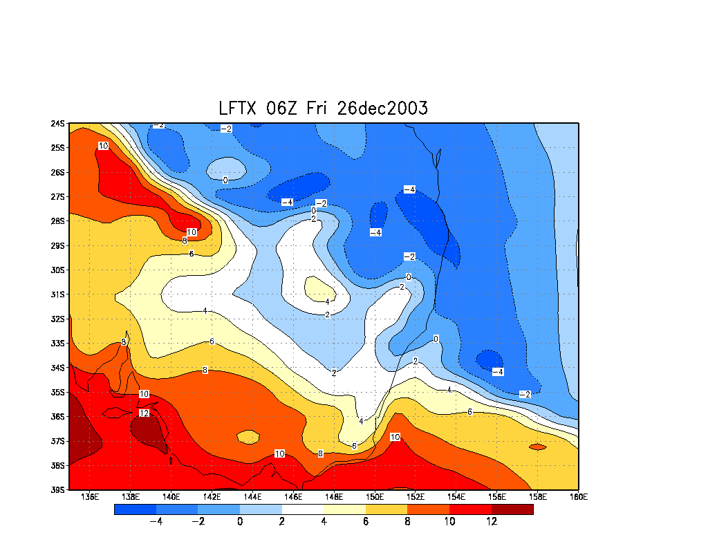
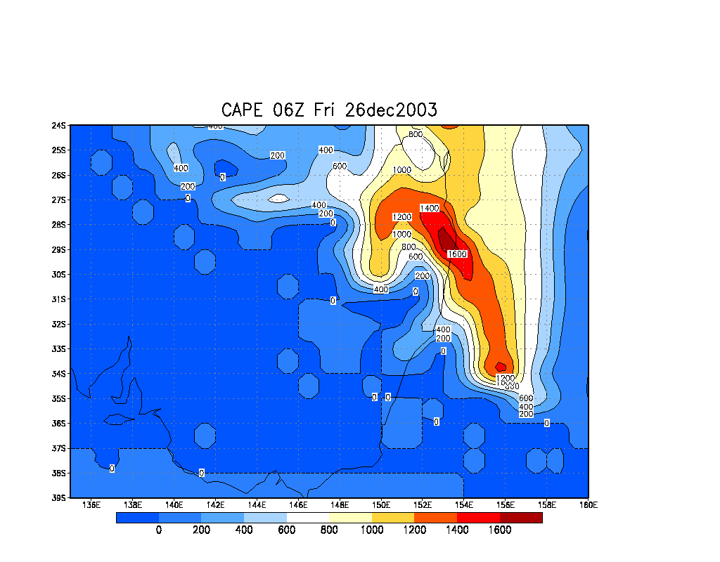
Shear was pretty weak on Boxing Day, however
instability was moderate and there was nice low level moisture before drying
in the mid and upper levels, although there was concern it may be a little
too dry. Also, 850 and 500 temps were pretty warm, however the very high surface
temps seemed to be enough to kick some development off by late morning.
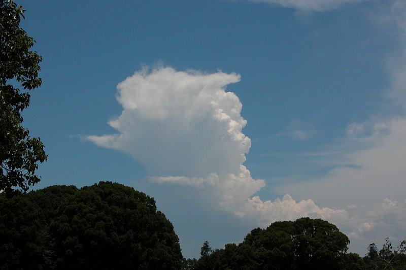
Nothing really got well established but I headed out at around 1pm to the
Tucki area to observe some new towers which were going up and anviling out
south of Casino. It was awful being out in heat which was around 38C with
a DP of around 24C! And what was worse was the towers were anviling out and
then evaporating.
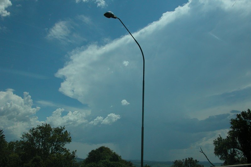
By 1.45pm I headed back home as everything looked to be drying out, however
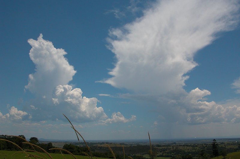
as I reached Alphadale I observed some solid looking congestus just WNW of
Casino. It was the first cell of the day with a large, flat rain free base,
and didn't look "junky". Rather than heading east towards home I headed for
Richmond Hill. After a quick radar update, which showed the cell appearing
straight into yellow, and visually observing the cell produce an anvil and
new towers on its rear flank, I headed after it.
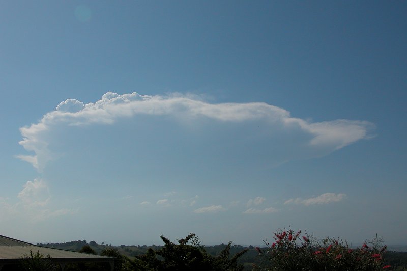
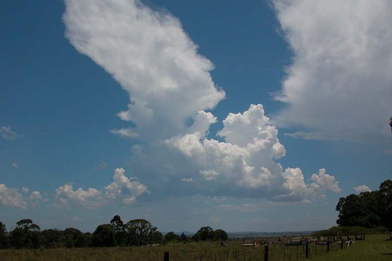
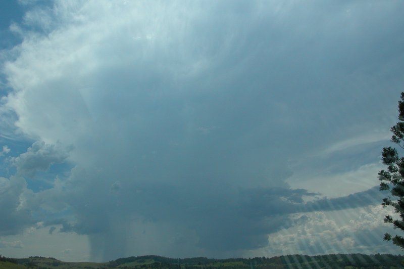
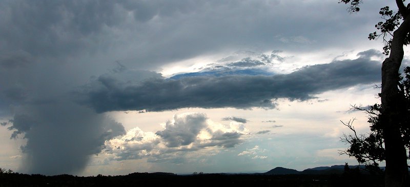
The trip through Lismore was painful as usual! The cell had produced a nice
solid anvil and had a very heavy rain shaft with a nice updraft region - rather
photogenic. But I was limited to taking photos from inside the car amongst
the traffic.
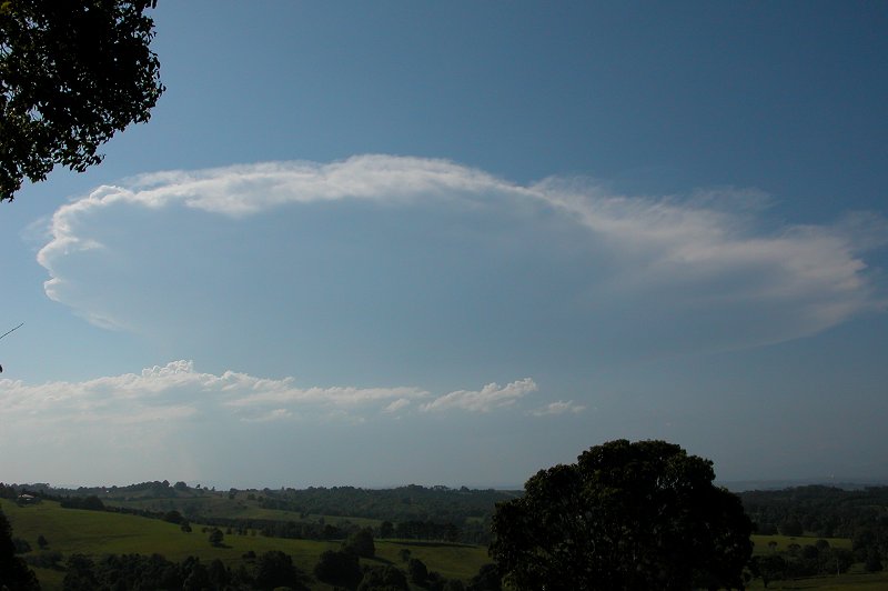
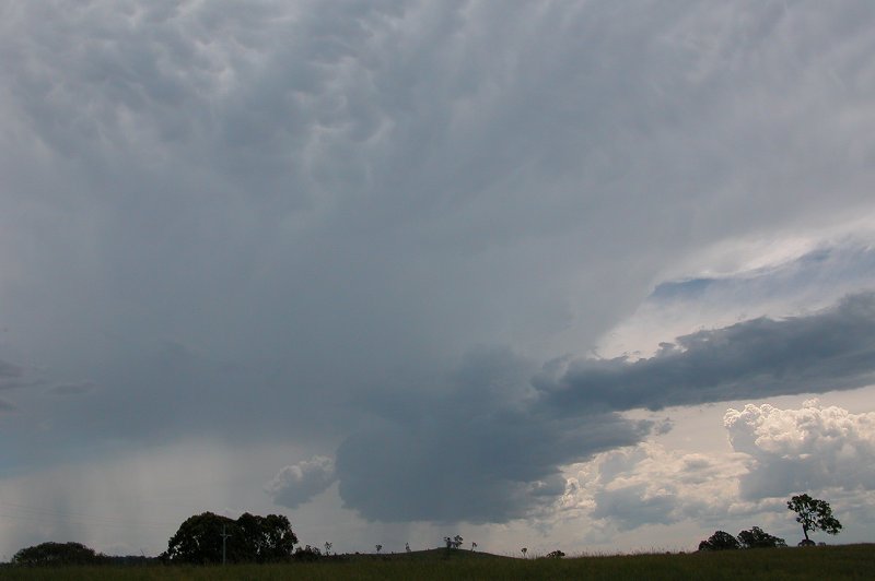
After getting to the outskirts of town the cell looked to have one nice rounded
updraft, with cloud which resembled inflow cloud feeding into the updraft.
It is possible that there may have been some brief updraft rotation, with
nice low level turning in the atmosphere, however I cannot confirm rotation.
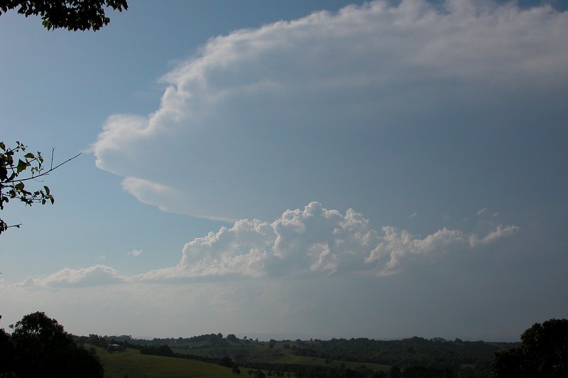
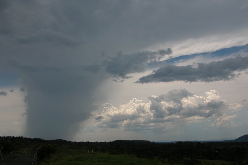
I took the road out to Caniba to get
to a lookout which has nice views in nearly all directions. I briefly stopped
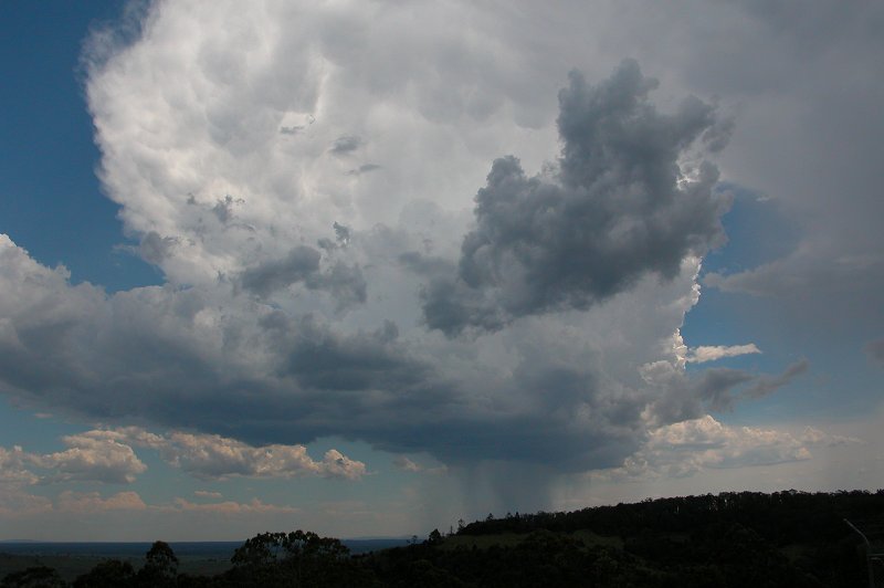
to get a pic of the decaying cell which was now over Casino. The updraft region
was shrinking. Pretty disappointing now that I was near it. However a nice
new cell was rapidly developing south of the original cell. Attention turned
to this cell as I reached the lookout.
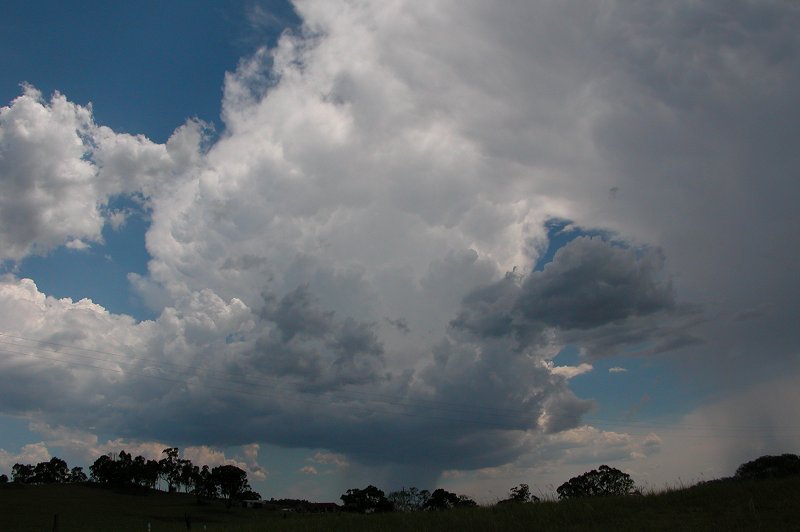
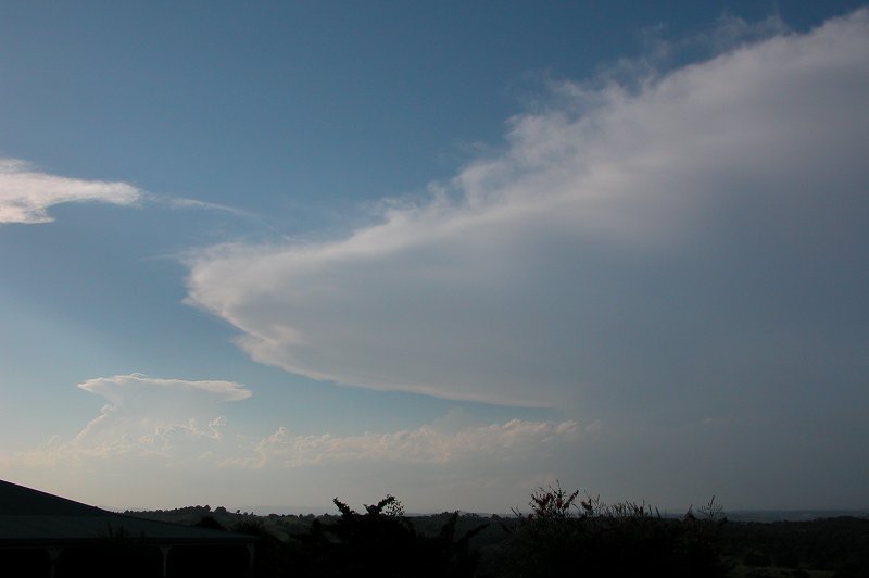
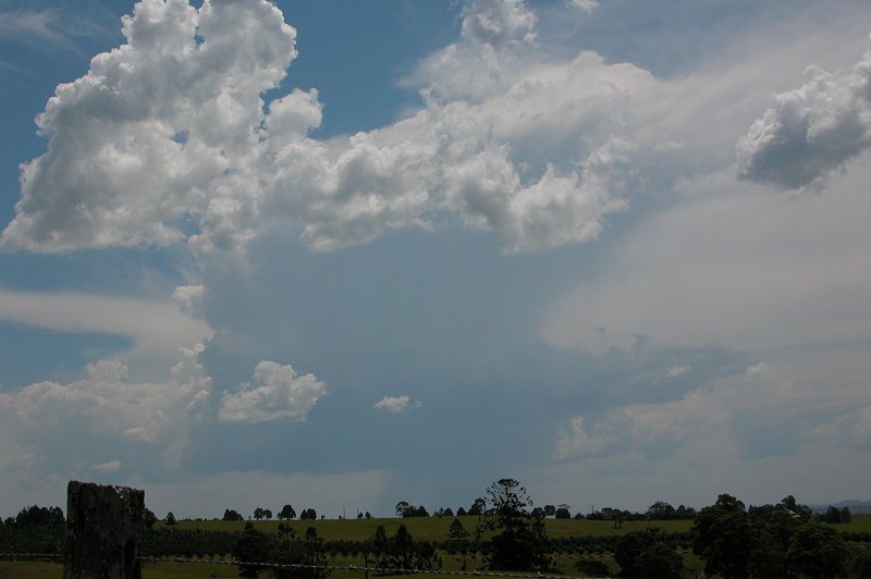
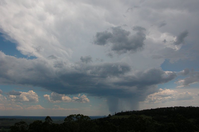
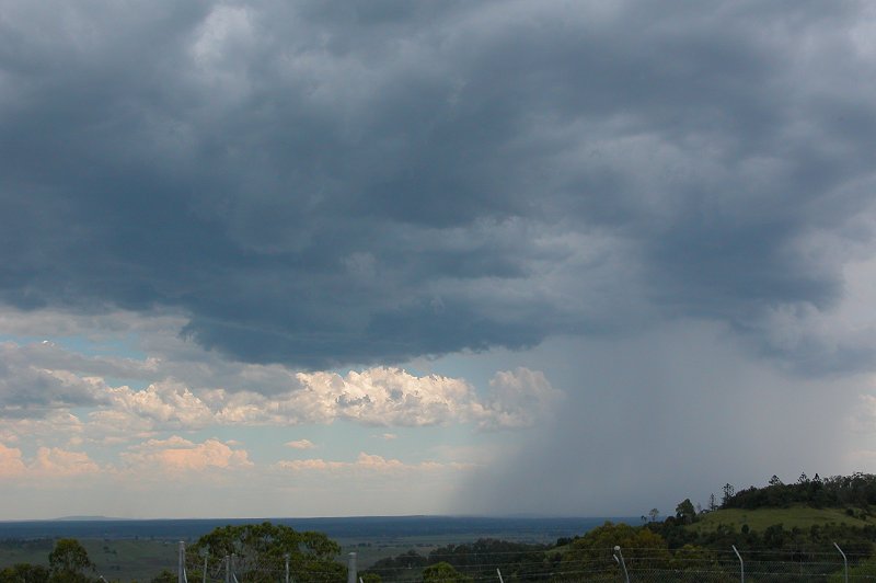
I sat and watched the two cells from around 2.30pm to 3.00pm, with the southern
cell giving a few nice updrafts and a microburst which brought down large trees
in the Whiporie area, while the cell over Casino continued to produce heavy rain
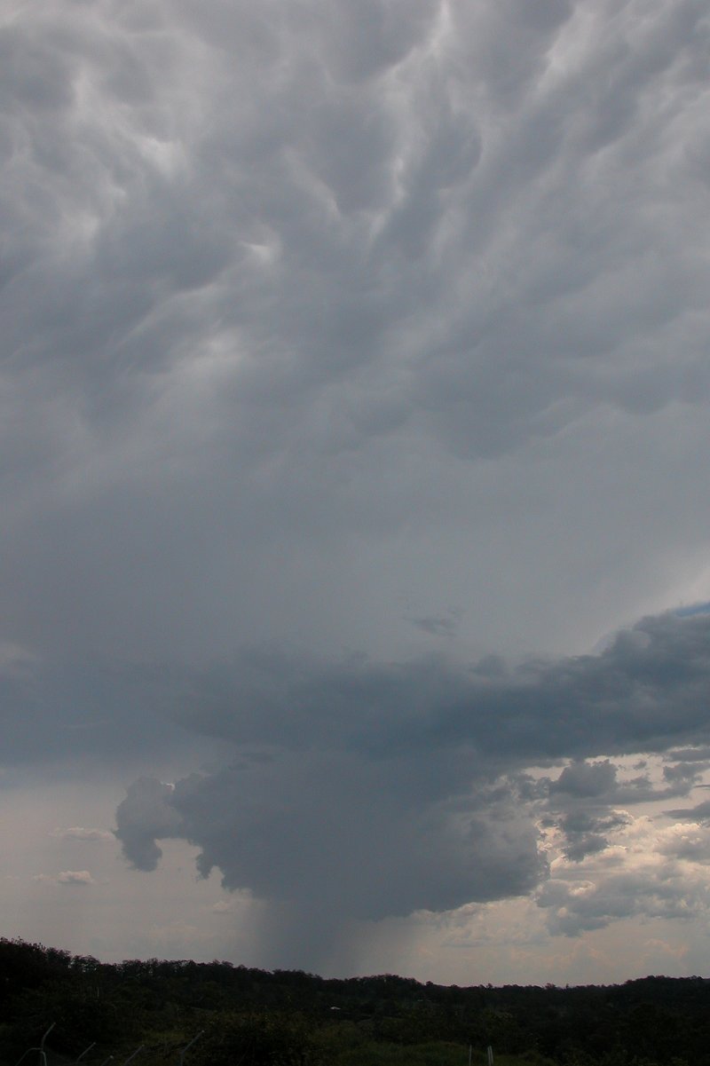
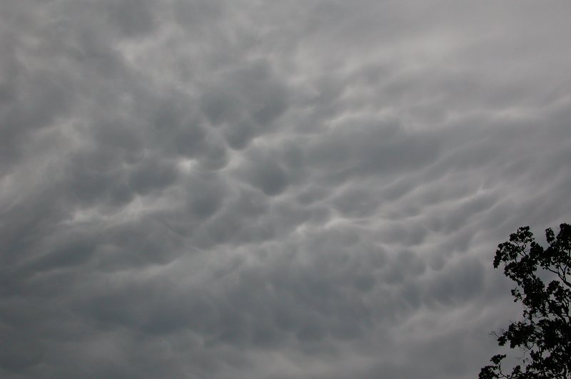
as it collapsed. It did produce some spectacular mammatus though as it was on
its way out, and did maintain that band of cloud for a short time before evaporating.
After both cells had died the sky took on a very dry appearance, so I headed back
home. More weak cells developed between Kyogle and the Nightcap Ranges but they
did not last long.
Further storms developed inland and in S QLD during the night, and Anthony Cornelius scored an amazing early morning lightning show! His report can
be found here.
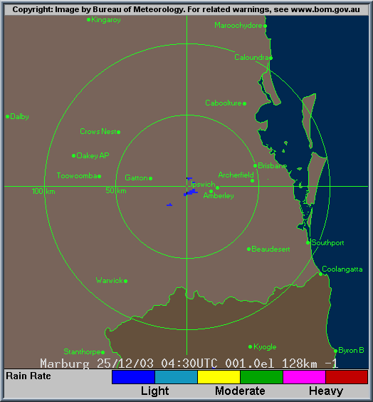
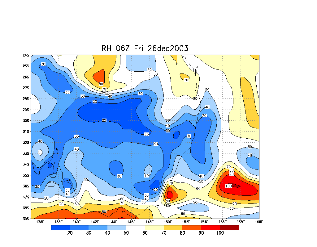
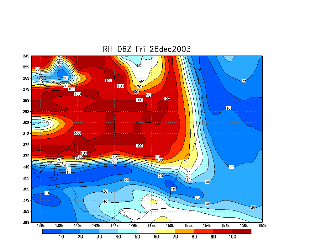
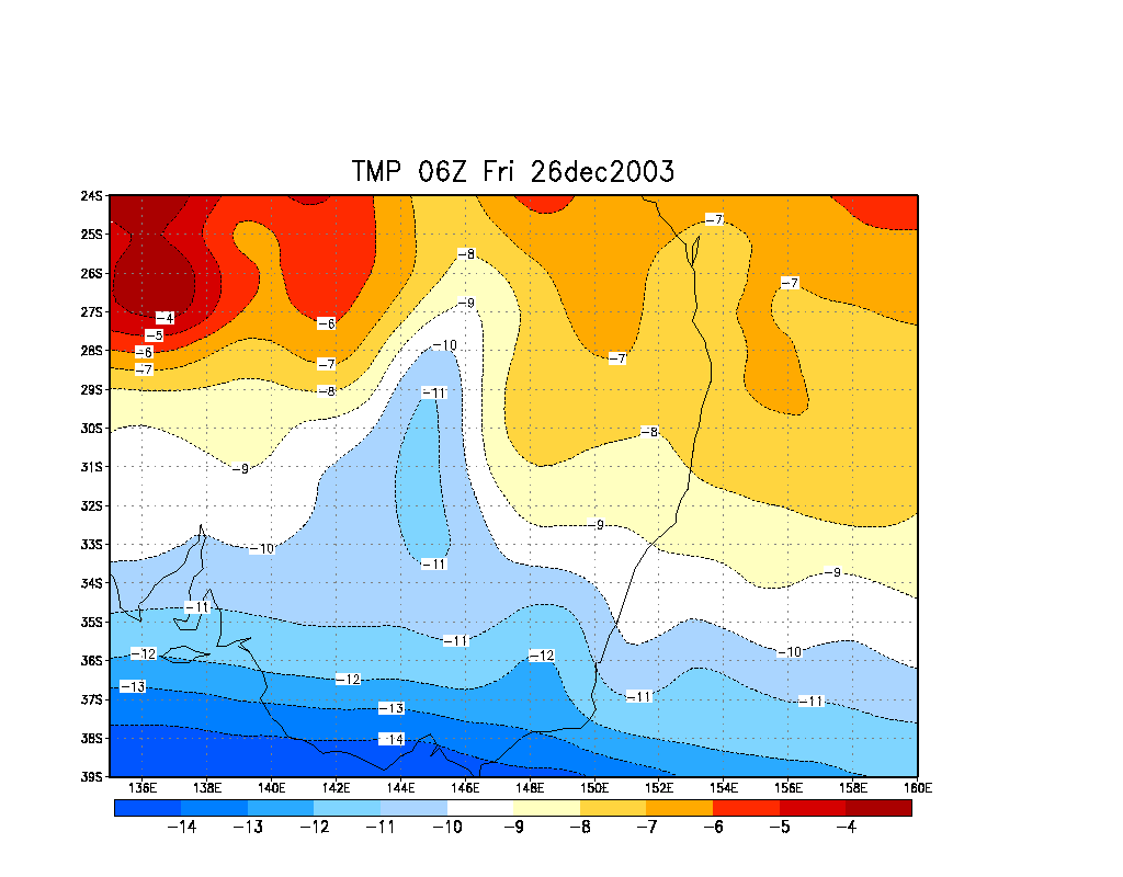
From Bureau of Meteorology.
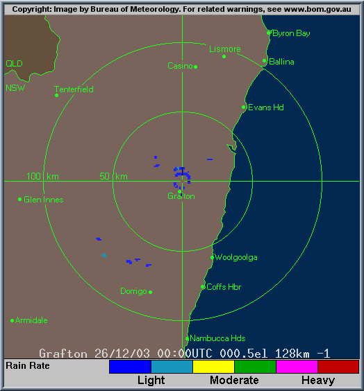
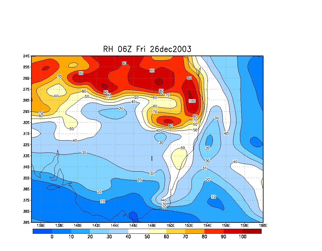
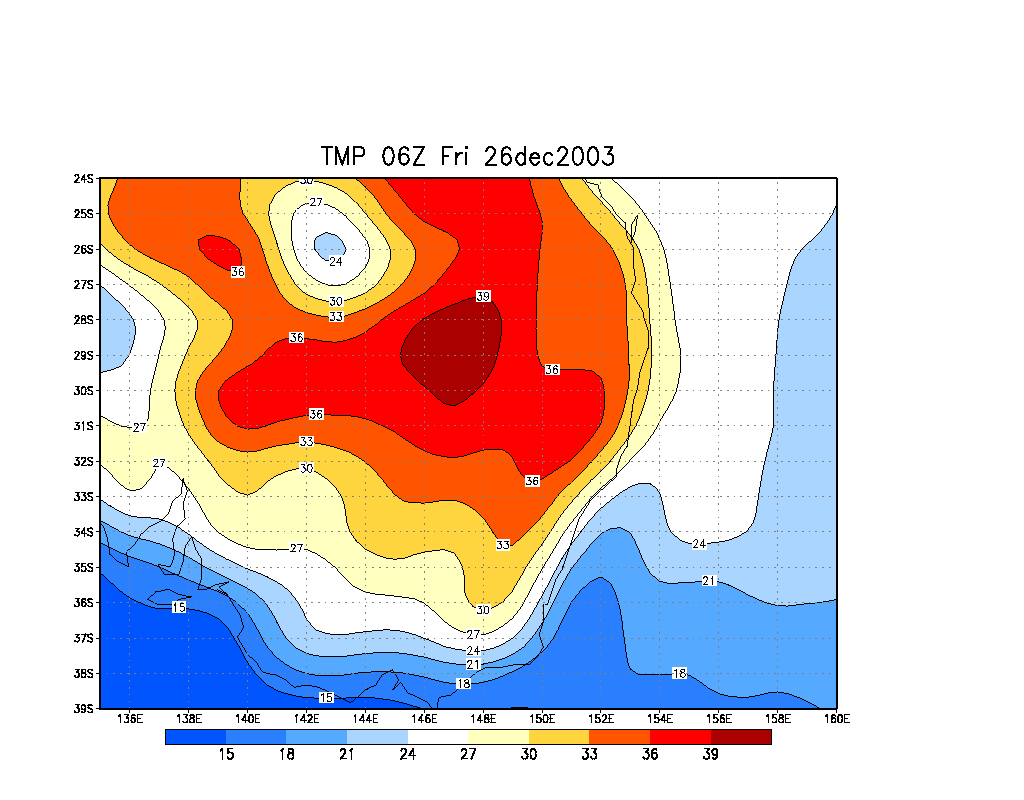
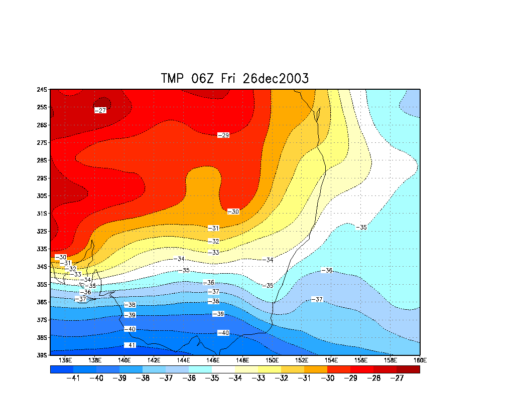
From Bureau of Meteorology.
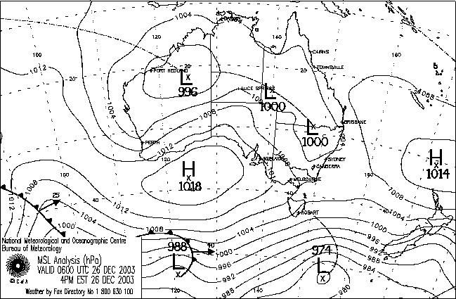
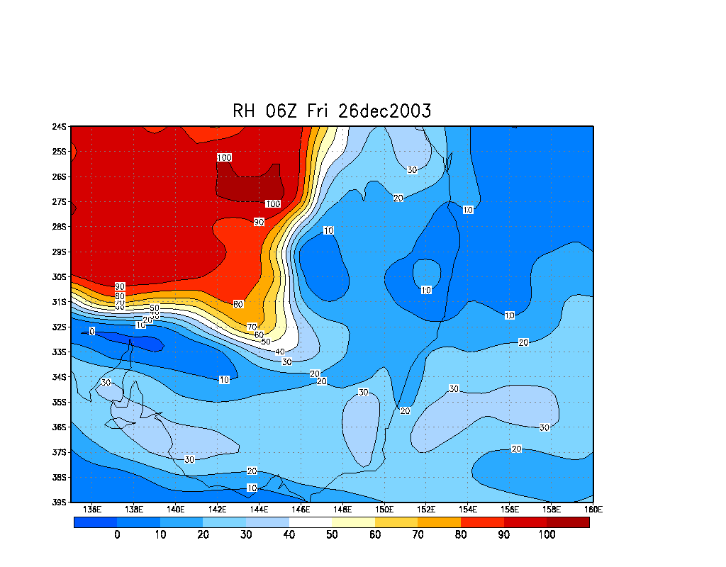
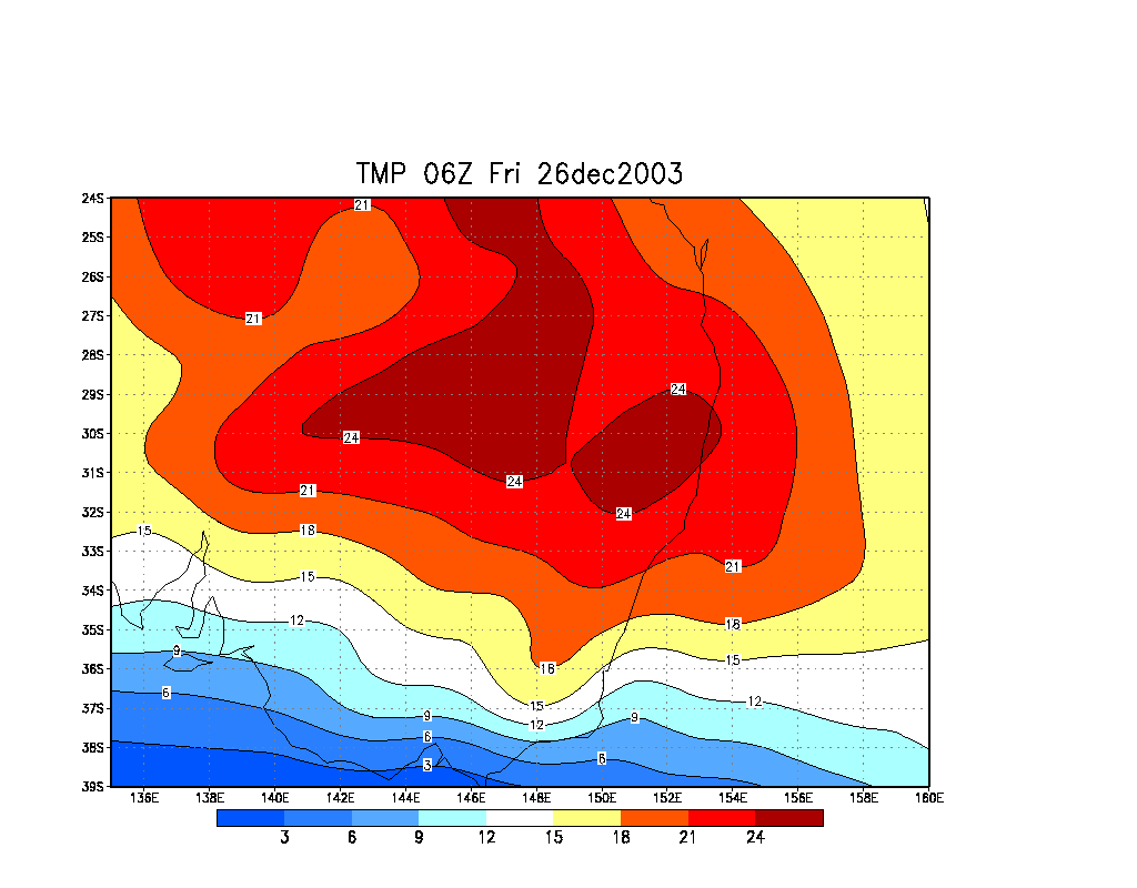
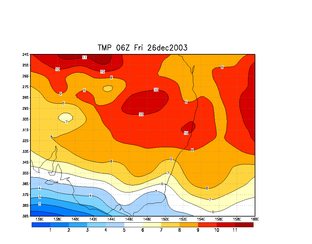
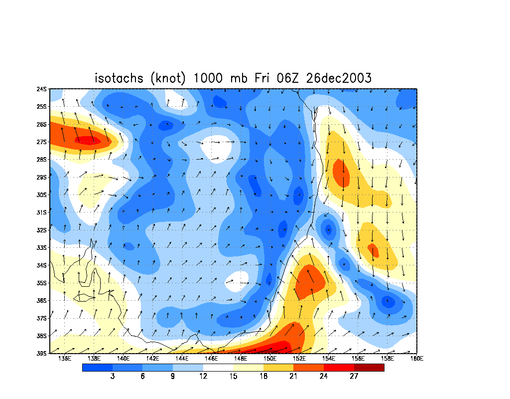
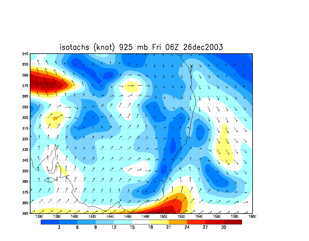
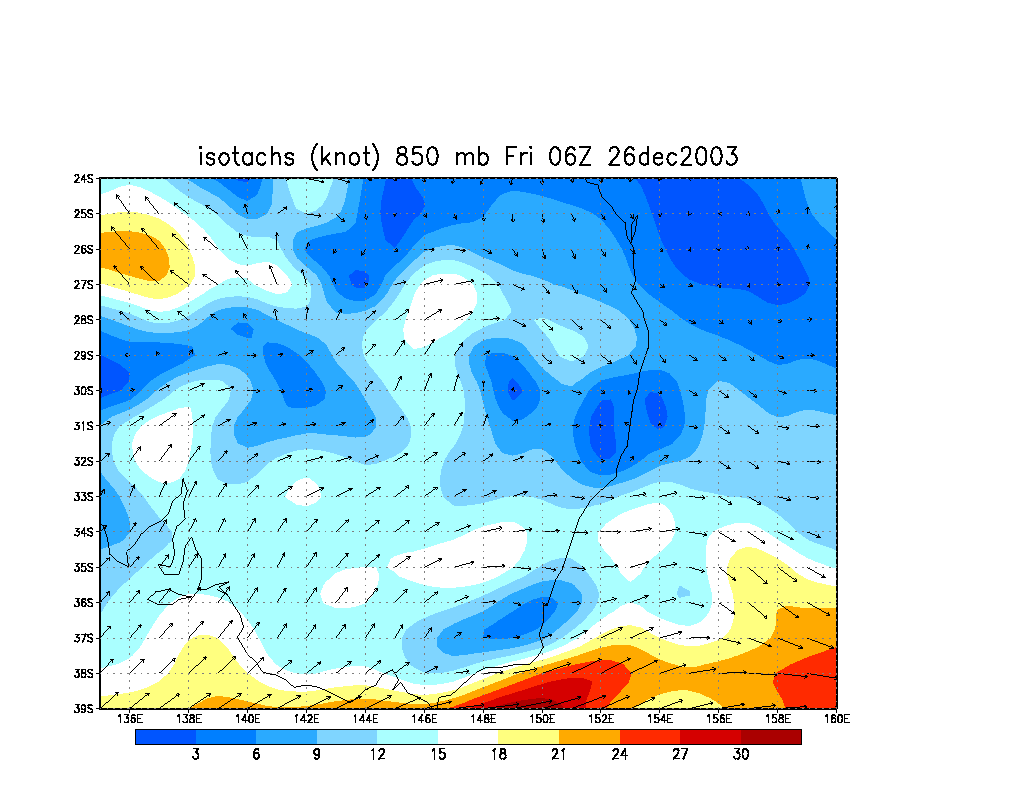
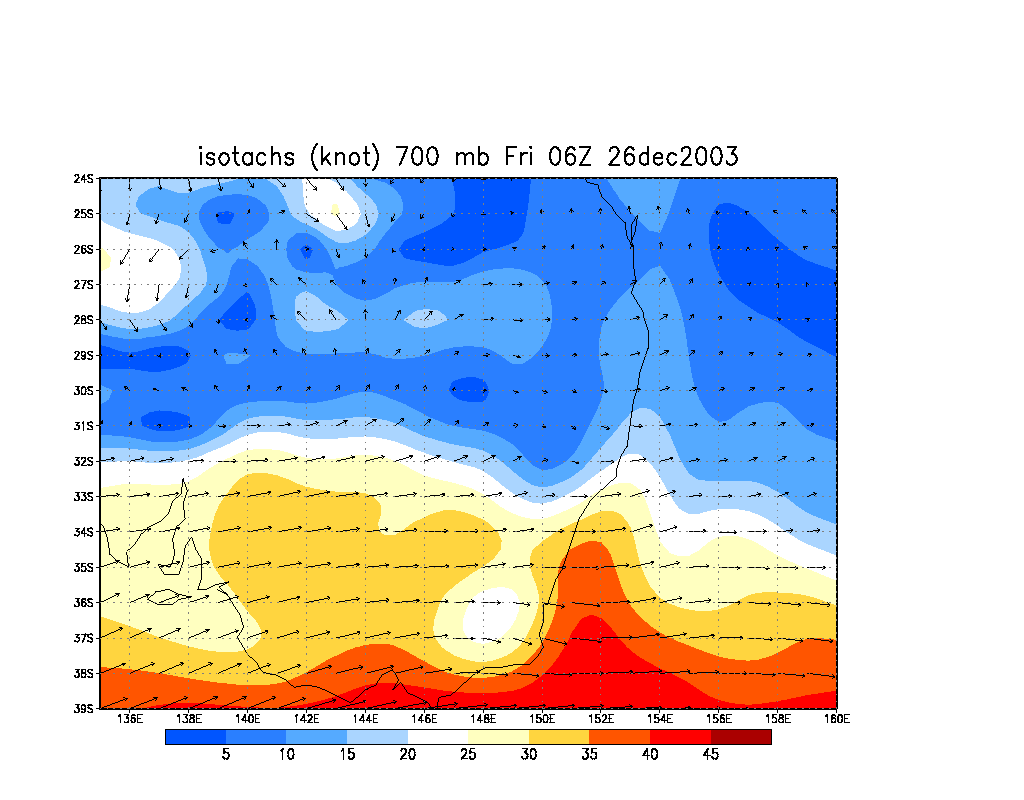
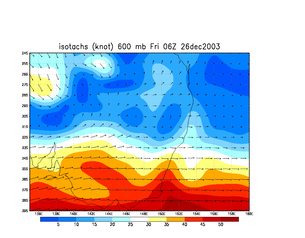
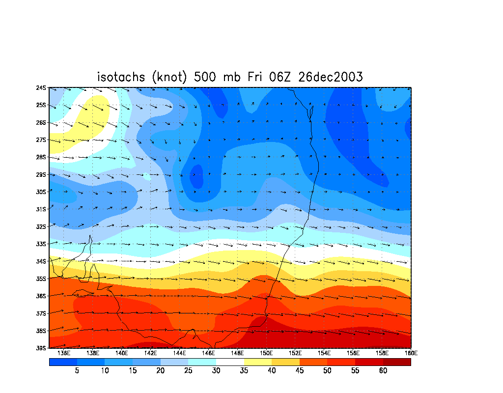
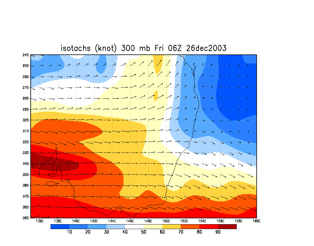
From NOAA 26/12/2003 06z analysis run
|
Document: 200312-01.htm
Updated: 5th January 2006 |
[Australian Severe Weather index] [Copyright Notice] [Email Contacts] [Search This Site] |