and Chasing
[Index][Archives]
North Coast Storms: Thursday 20th to Friday 21st March 2003
Report compiled by Dave Ellem and Michael Bath
| Storm News and Chasing [Index][Archives] |
North Coast Storms: Thursday 20th to Friday 21st March 2003 Report compiled by Dave Ellem and Michael Bath |
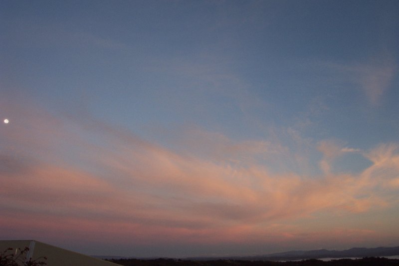
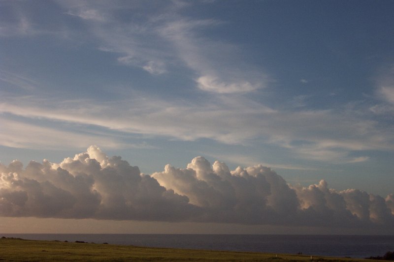
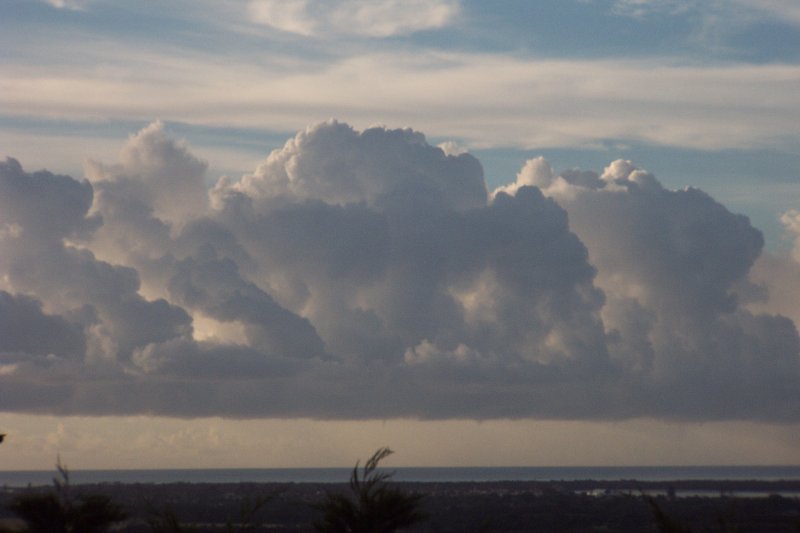
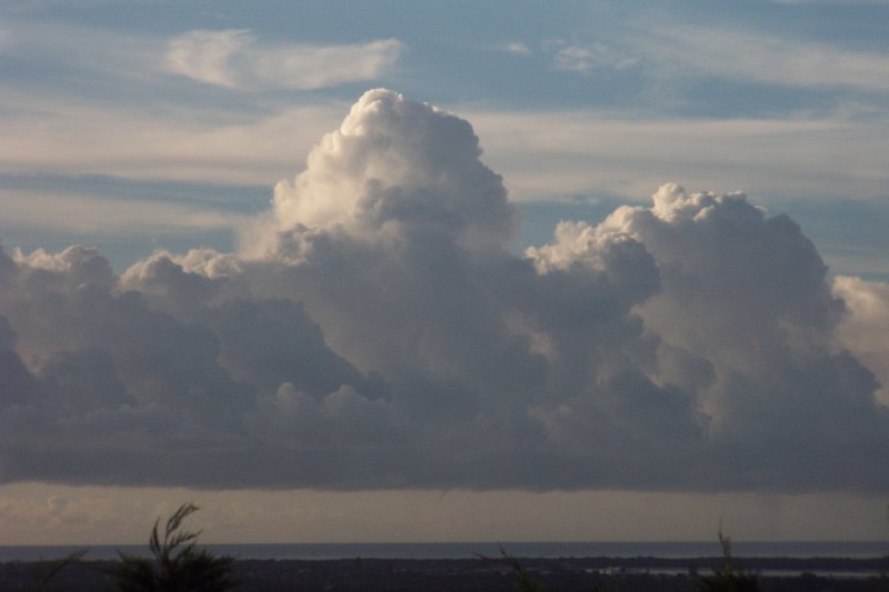
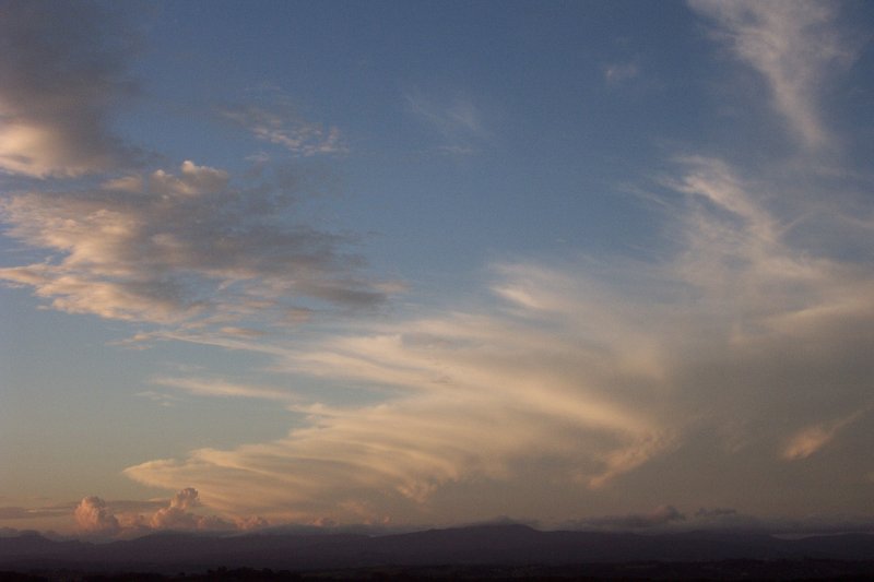
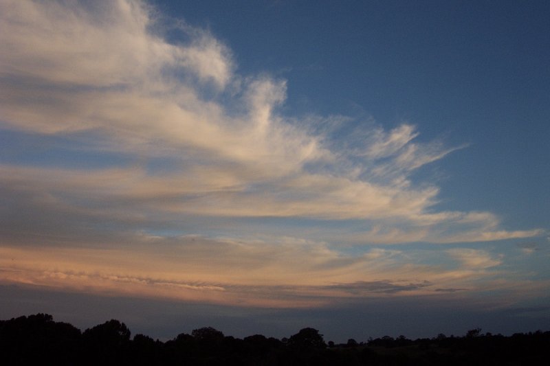
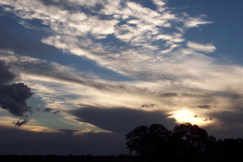
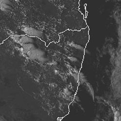
With the trough still affecting the Hunter and Mid North Coast areas, most instability was concentrated S of the Northern Rivers, but it was expected to move through later in the day and storms were expected. The day started with congestus and Cbs offshore, and whilst near Ballina I spotted 4 waterspouts. Only one really got going, but it was exciting to see. Later that night a massive squall line affected the NW Slopes, Northern Tablelands, Mid North Coast and Western and Southern Parts of the Northern Rivers. On the southern end of the line a severe hailstorm affected the Central Coast - no reports on hail size, damage etc.


Friday 21st March
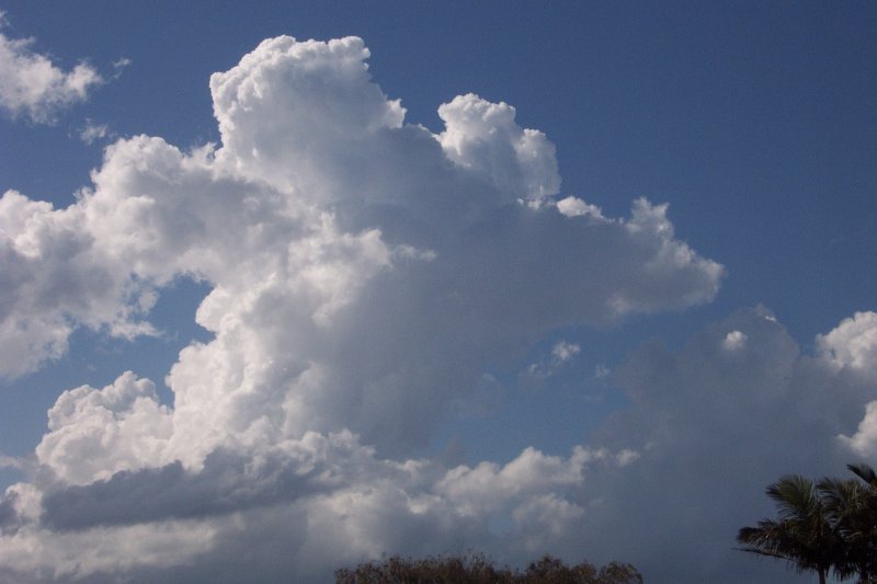
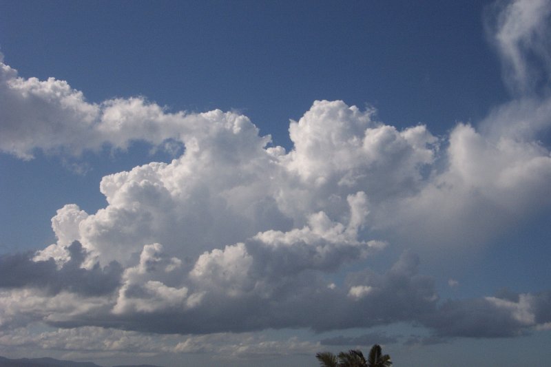
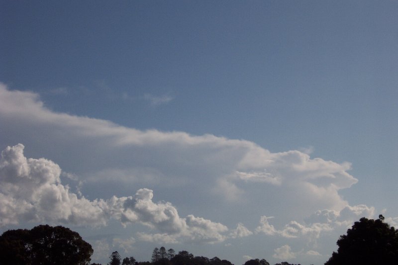
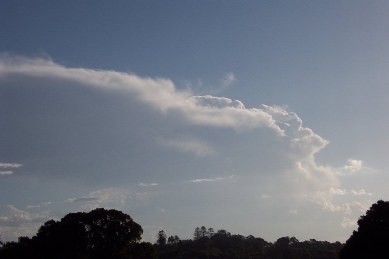
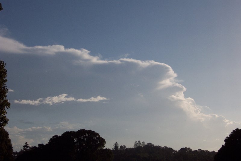
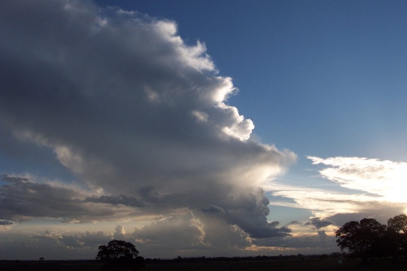
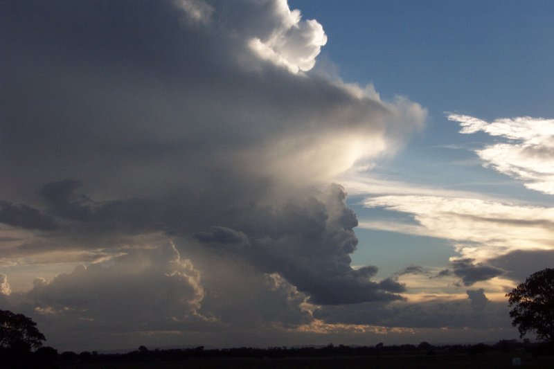
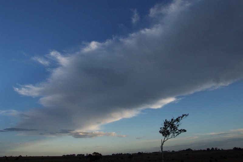
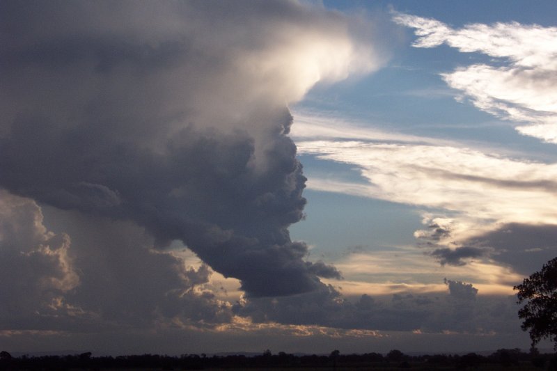
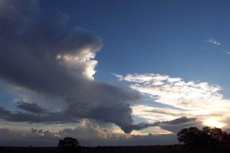
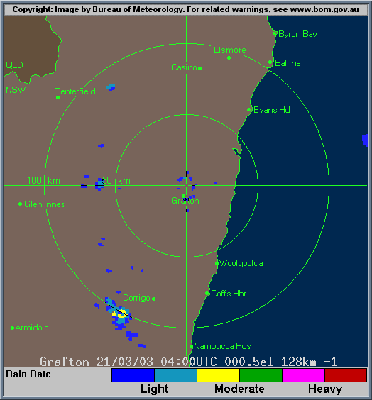
Today had high expectations with LIs down to -6 and Cape around 2000 in the Northern Rivers. What was thought to be a moderate cap was in fact just too strong and convection didn't start until very late (a thick cloud band not clearing till lunch time also limited heating). Weak cells developed from Dorrigo to Tenterfield, with a cell E of Tenterfield rapidly developing and producing a crisp, thick anvil. It maintained for around 30mins with a small precipitation core and development on it's NW flank, making it appear to head ENE. In hindsight we should have left to chase, but after producing a red core the cell weakened and we decided to stay home. But around 5.30pm it redeveloped, now just WSW of Casino. Rodney and I headed out and witnessed what appeared to be a hail shaft as the cell turned red on radar. However it weakened quickly down to one updraft with a wall cloud appearance attached to the thick anvil. It seems as though this cell was a true LP type storm and it gave some nice structure in it's final stages.
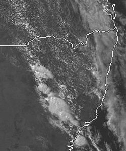
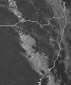
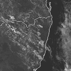
From TWC Weatherzone
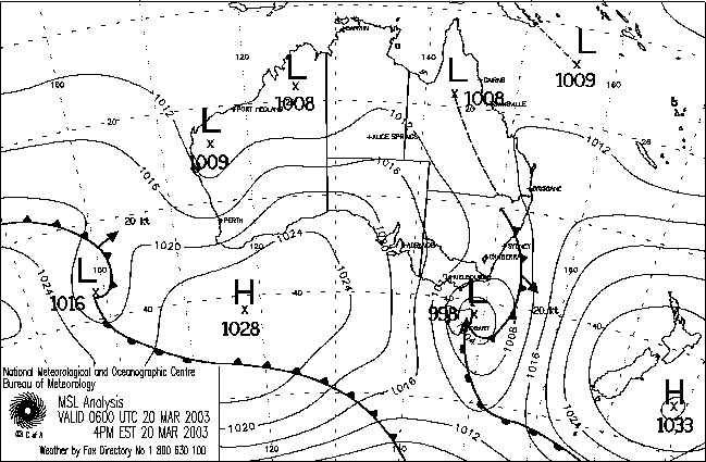
20th March
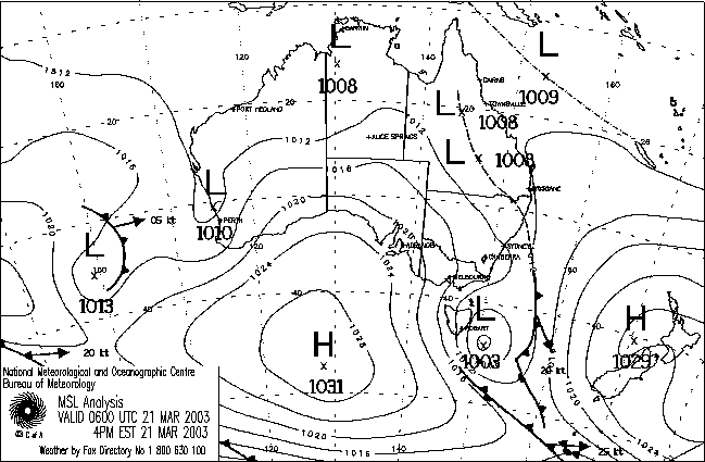
21st March
|
Document: 200303-08.htm
Updated: 16th April, 2005 |
[Australian Severe Weather index] [Copyright Notice] [Email Contacts] [Search This Site] |