and Chasing
[Index][Archives]
North Coast Severe Storms: Monday 6th November 2000
by Michael Bath
| Storm News and Chasing [Index][Archives] |
North Coast Severe Storms: Monday 6th November 2000 by Michael Bath |
-------------------------------------------------------------------------
SEVERE THUNDERSTORM ADVICE
BUREAU OF METEOROLOGY
NEW SOUTH WALES REGIONAL OFFICE
Issued at 1359 on Monday the 6th of November 2000

This advice affects people in the following weather districts:

Northern Rivers, Mid-North Coast

Thunderstorms are occurring within the advice area and are expected to
continue through this afternoon. Some of these may become severe bringing
large hailstones, damaging winds and very heavy rainfall.
-------------------------------------------------------------------------
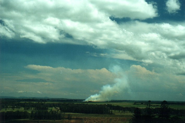
Two hailstorms have cut through the North Coast region from S and NW of Casino, through Lismore, Dunoon and Mullumbimby, tracking generally NE. At least 50 knot winds with tree damage were reported at Dunoon (N of Lismore) and Rock Valley (NW of Lismore). Hail was reported from Tatham (SE of Casino) and McKees Hill (E of Casino). A roof has been torn off a house at Mullumbimby.
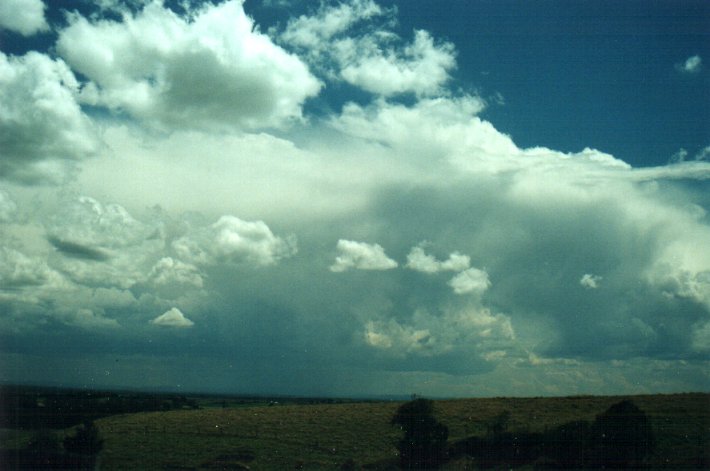
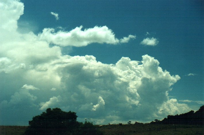
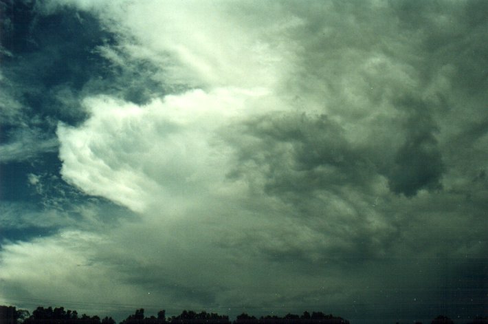
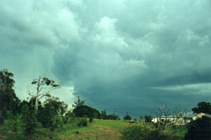
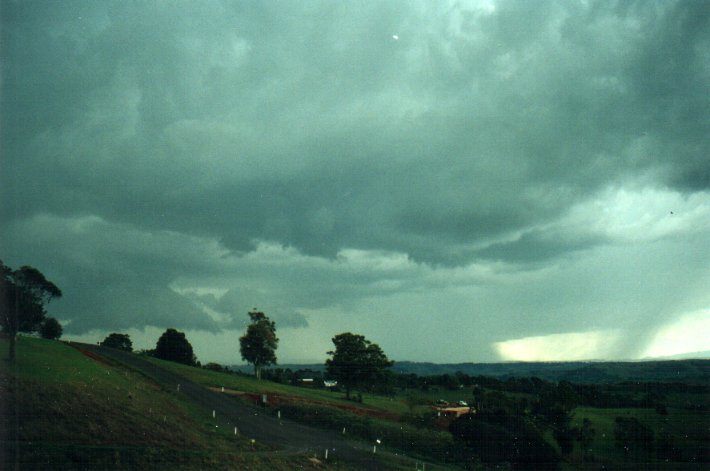
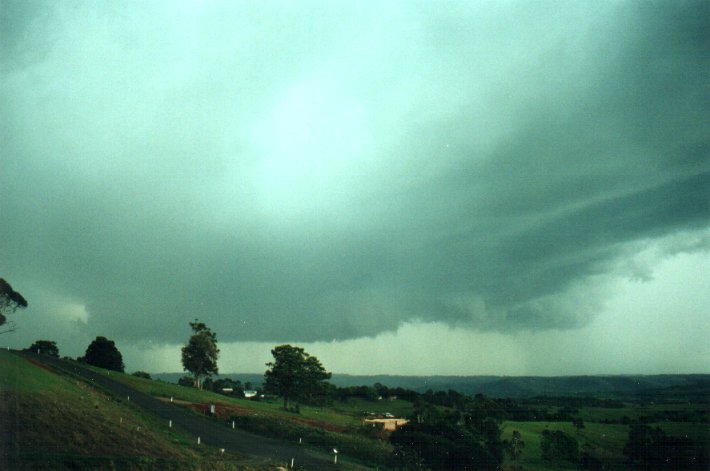
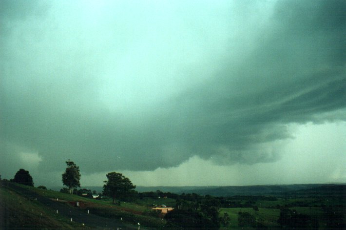
The following three pictures were taken from Parrots Nest, about 5km S of Lismore as rapid storm development became organised along a NNW-SSE line. The morning had been overcast with cirrostratus, but cumulus quickly developed once heating occurred in the clearance area to the W.
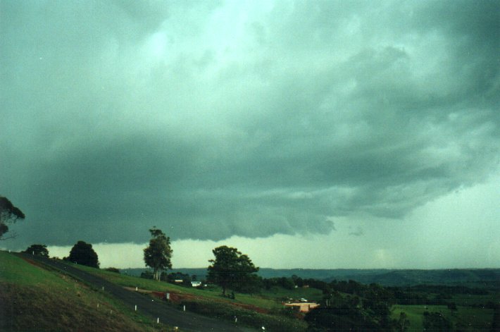
Two main thunderstorm cells dominated shortly after those photos were taken. The southern cell passed just NW of my home at McLeans Ridges (E of Lismore). We had some very close CGs and all sorts of amazing lowerings spreading through the valley to my W, NW and N. 7.5mm of rain fell in about 10 minutes, most of which fell at the end in about 3 minutes. Winds were not strong, but commenced as westerly before turning to the NE.
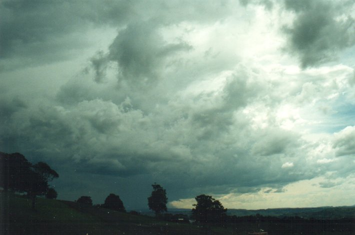
Another large storm complex developed behind the first lot and approached the Lismore area around 6.30pm, but it rapidly dissipated and gave just some close CGs and moderate rain.
Check all the action from SE QLD by Brisbane Storm Chasers
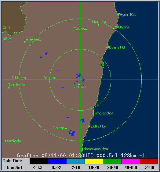
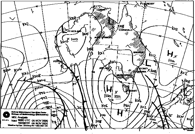
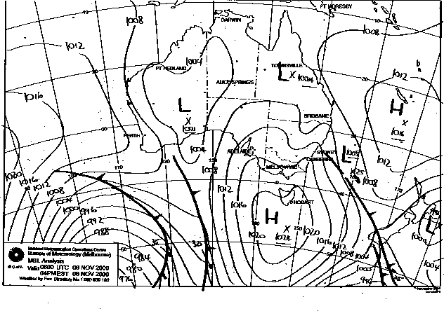
These images obtained from Bureau of Meteorology.
|
Document: 0011-03.html
Updated: 2nd November, 2001 |
[Australian Severe Weather index] [Copyright Notice] [Email Contacts] [Search This Site] |