and Chasing
[Index][Archives]
Storms in NE NSW: 21st to 27th September 2000
by Michael Bath
| Storm News and Chasing [Index][Archives] |
Storms in NE NSW: 21st to 27th September 2000 by Michael Bath |
Observations in this report are from McLeans Ridges near Lismore, unless otherwise noted.
All clouds dissipated
from about 4.30pm, just as Jimmy Deguara and Mario arrived from an unsuccessful
storm chase day.
For a SE QLD chase report, read the account by Anthony
Cornelius
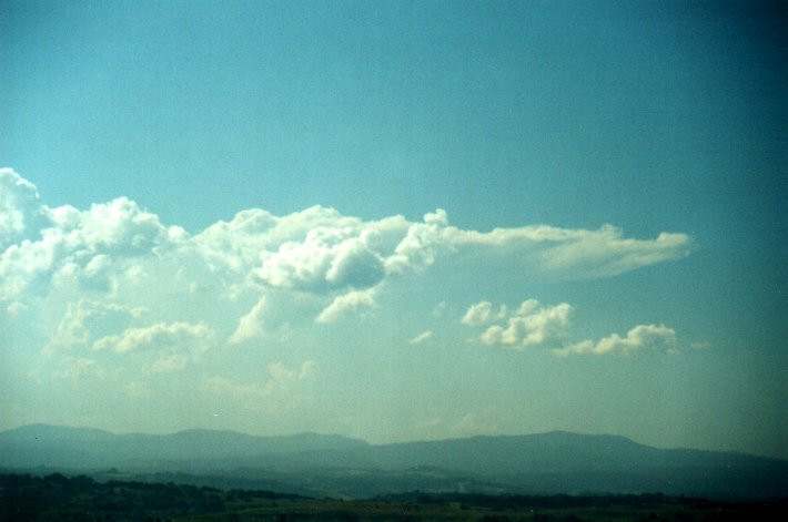
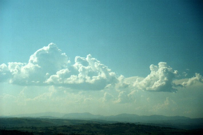
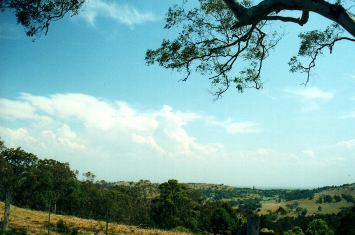
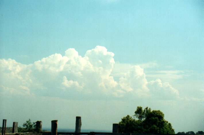
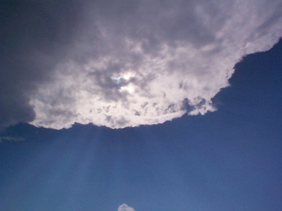
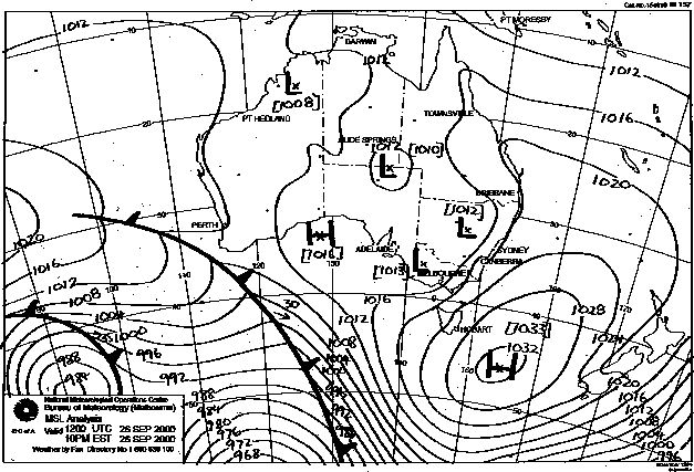
Some cumulus developed during the afternoon to the far W and SW, but did not develop further until much later. During the early evening some weak convection on the eastern parts of the Northern Tablelands got going, and tracked NNE. Some distant lightning was observed. A weak SE change arrived about this time as well.
 This was a frustrating day, but a great night!. I had high expectations of storms
but no clouds were visible at all until late in the afternoon, and even then it
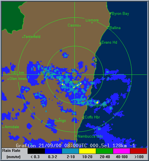
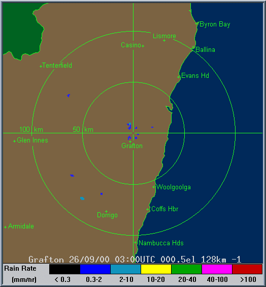
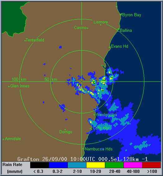
was only some high cloud from storm remnants. Grafton local radar showed storms
had developed W of Coffs Harbour by mid afternoon, but they barely moved.
This was a frustrating day, but a great night!. I had high expectations of storms
but no clouds were visible at all until late in the afternoon, and even then it
was only some high cloud from storm remnants. Grafton local radar showed storms
had developed W of Coffs Harbour by mid afternoon, but they barely moved.
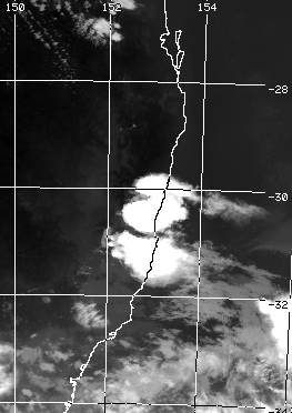
Left: NOAA AVHRR image at 5.45pm local courtesy of CSIRO Marine Research. Click on it for a larger view.
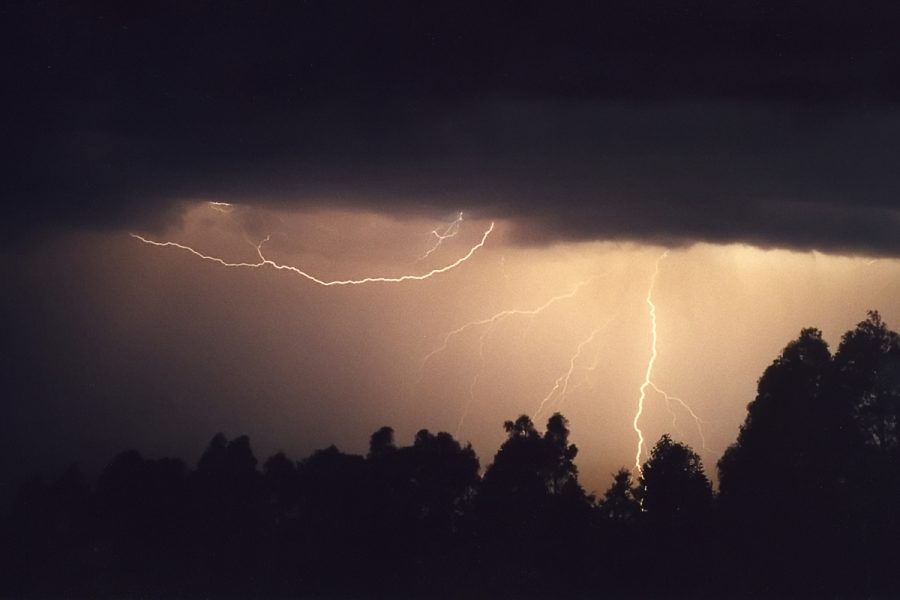
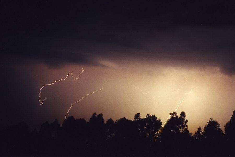
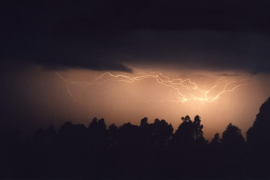
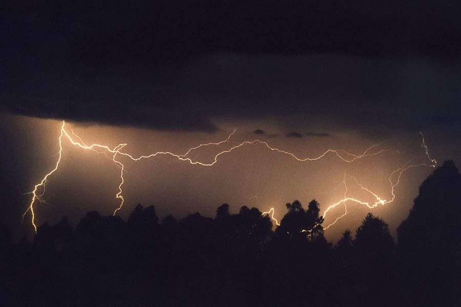
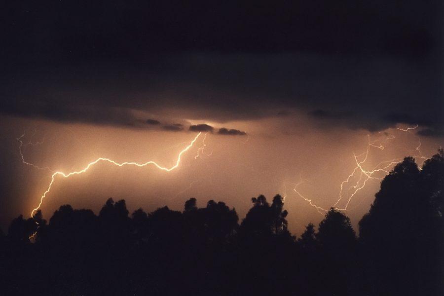
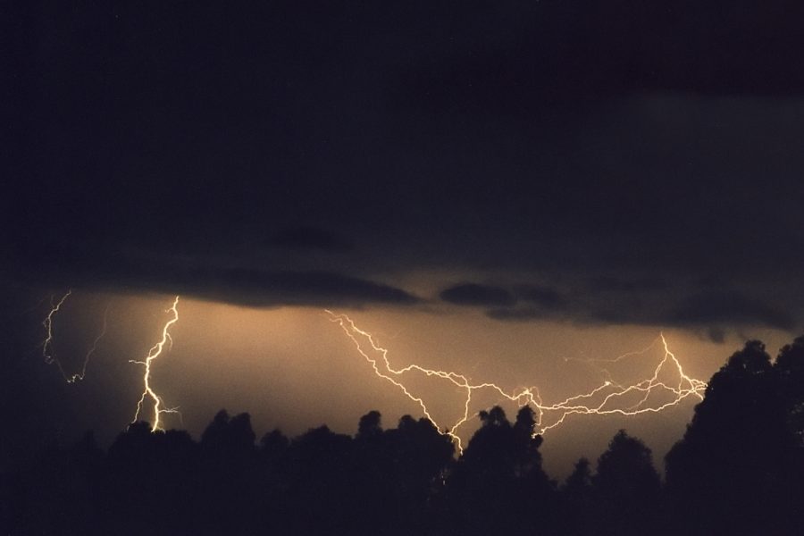
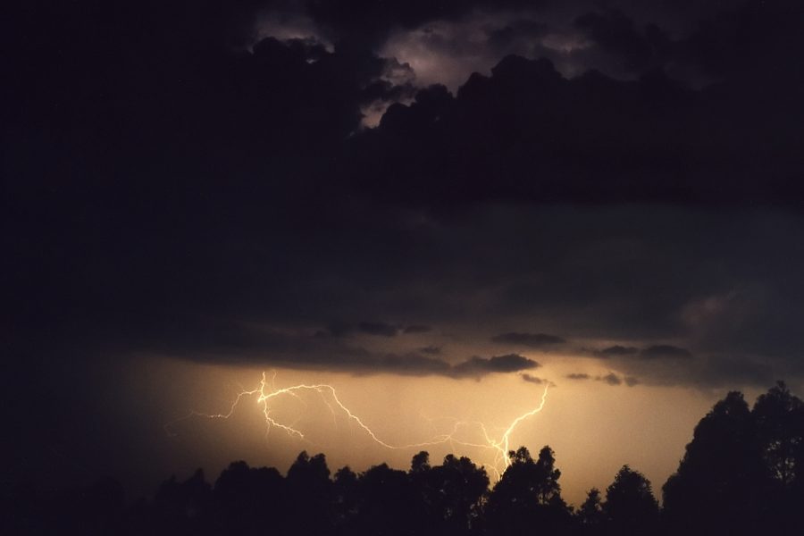
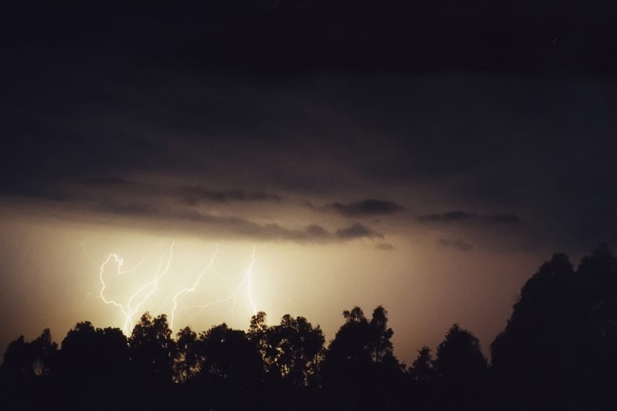
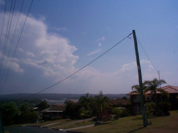
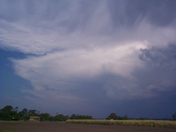
Later on and now into the evening, distant lightning was apparent to the far south. After some prodding from the anxious SE QLD'ers I ventured out with the camera gear to the southern side of the Alstonville plateau I live on to set up. Cells had propagated northwards to be from NW of Grafton to the coast, but this was still about 80km S of me. There was plenty of lightning but a layer of mid level cloud between me and the storms meant I could only see the glow at the top of the cells, and the CGs coming out the bottom.
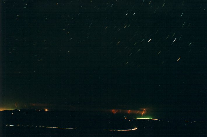
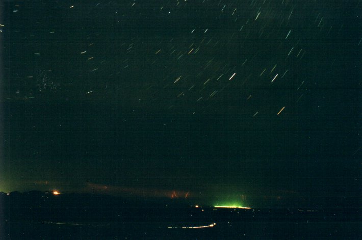
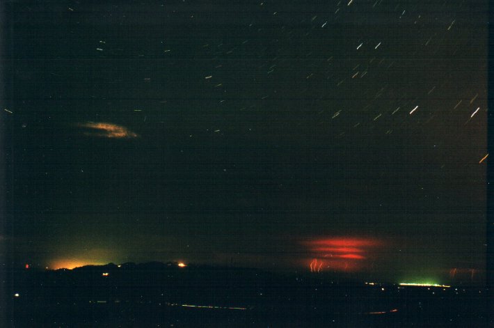
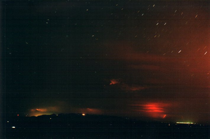
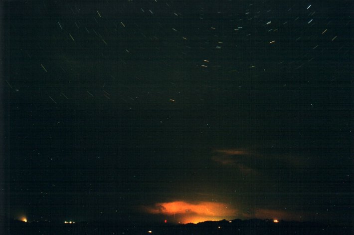
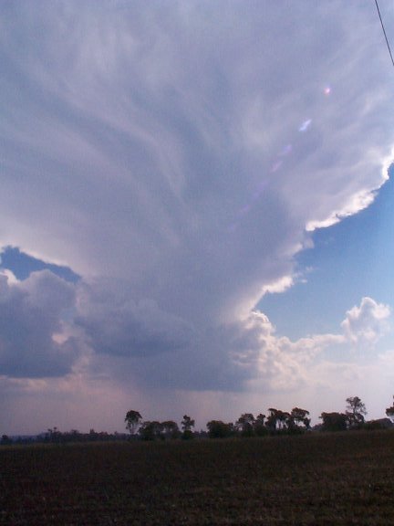
The photos were
taken with a 50mm lens and as you can see, it was just too far away and the mid-level
cloud in the way spoilt them. Star trails are visible in the top half of the photos.
The orange glow in number 4 was from a cane burn W of the shot. 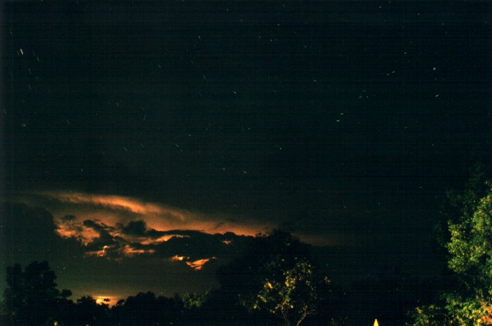
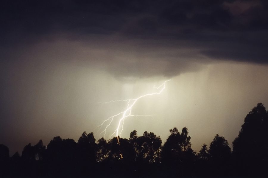
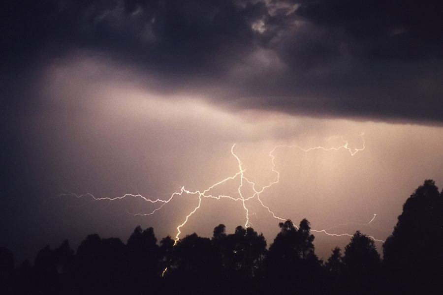
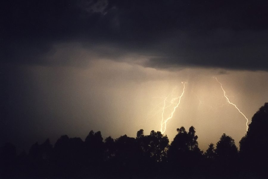
Activity intensified as a larger storm crossed the coast near Yamba about 9pm. Radar shows this veered markedly to the N to track parallel to the coast, it also picked up speed. I drove back home hoping the lightning would pass E of my place at McLeans Ridges and give me a good show.
It was after 11pm before the activity got close enough to set the camera up again. In fact another cell had formed NW of the main one over land NNW of Ballina, and about 10ks E of me. It was just going berserk ! CGs were every few seconds and in full view. Finally a chance to get some lightning pics - the first I have taken in 2000. The show went on for an hour before fading away. I was happy after that !!
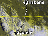
Click on the satpic
for an animation of VIS enhanced imagery for 21z to 07z, courtesy US AF Weather
Agency.
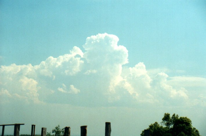
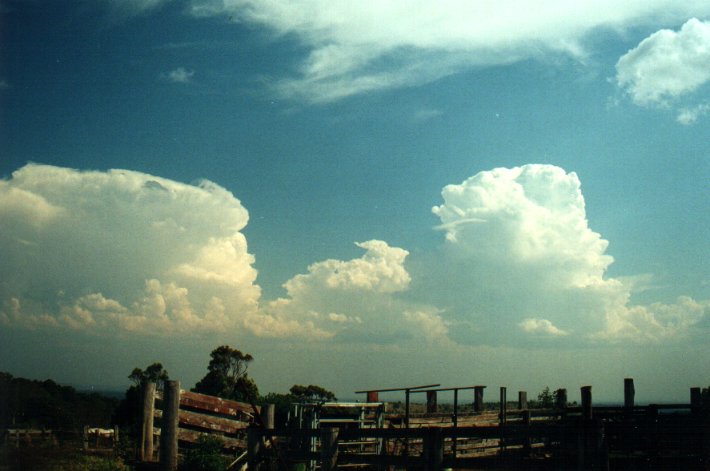
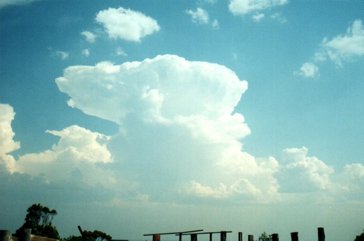
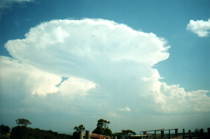
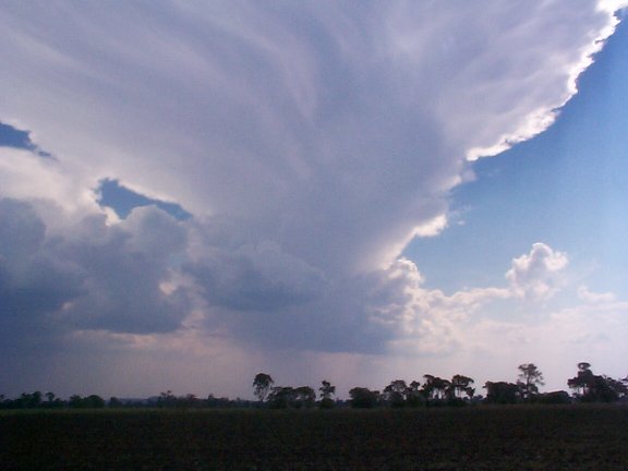
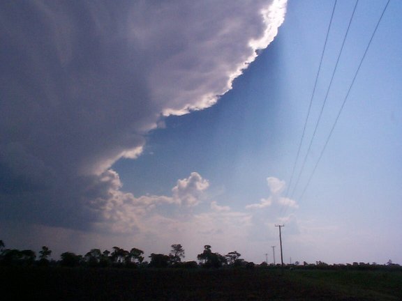
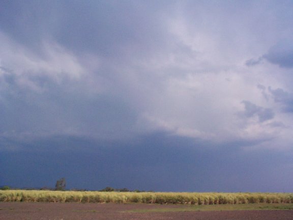
From about 1pm congestus rapidly formed to the W. I headed out to get a better
look. Convection started to dominate in the southwestern sky by about 1.45pm with
a large storm system developing, but heading ESE further away from my location
at Tregeagle (SE of Lismore). A rapid rock solid updraft punched up NW of the
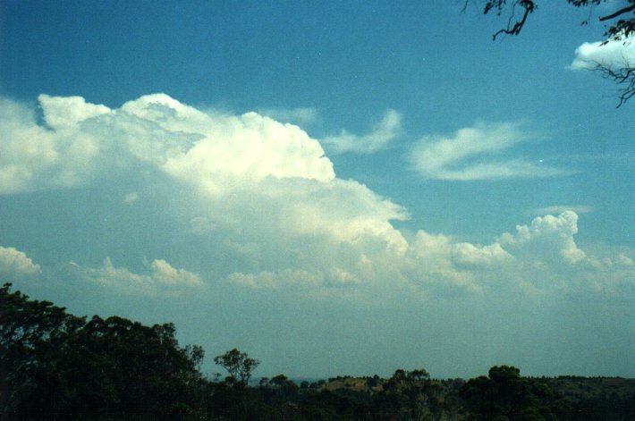
first storm and quickly glaciated. It would have reached at least 13-14km in height.
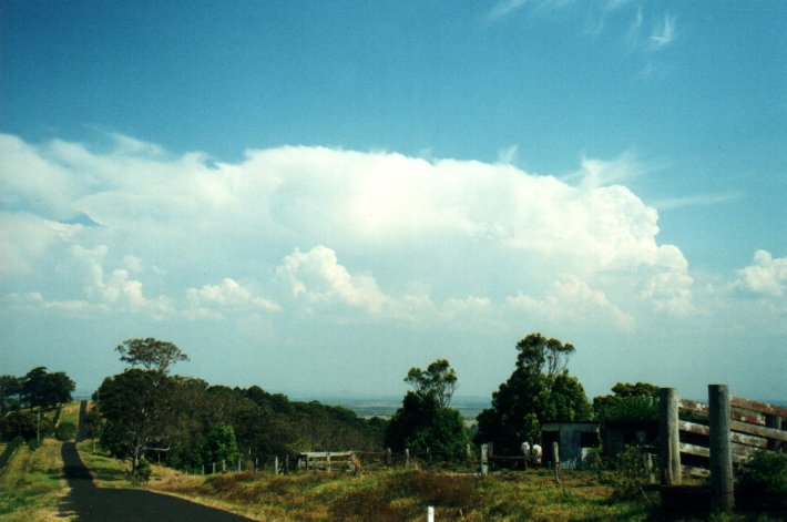
Bases on all cells observed were fairly high with small precipitation cores. All
the activity slowly edged towards the coast near Yamba.
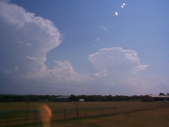
Halden Boyd reported that a hail drift occurred at Palmers Island (W of Yamba) around 3pm, consisting of marble sized hailstones. He also captured these digicam pictures between 2.24pm and 3.42pm from Evans Head and Woodburn. He photographed the same storms as me, but looking W and NW into them, rather than my view of S and SW.


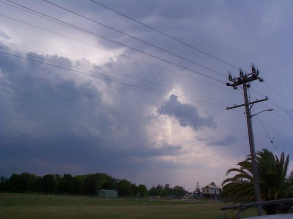
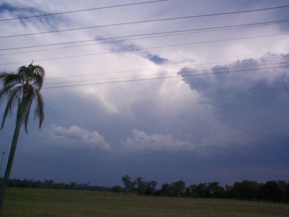
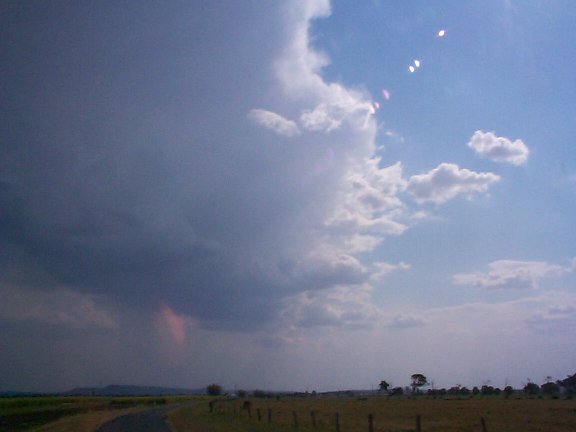
After about 3.30pm conditions were less favourable with just congestus popping up around the district with some thundery showers passing over Evans Head later. Anthony Cornelius dropped by after a long chase and Ben Quinn and Jason Rainforest came down to Ballina but unfortunately for them, the best activity passed out by mid afternoon before they arrived. Although they did see plenty of CBs and CJs. Read the account by Ben Quinn who also did this radar loop.
Thanks to Anthony Cornelius for archiving the graphics.
|
Document: 0009-01.html
Updated: 2nd November, 2001 |
[Australian Severe Weather index] [Copyright Notice] [Email Contacts] [Search This Site] |