and Chasing
[Index][Archives]
Possible Grafton Tornado and Storm Pictures: 30th January 1999
| Storm News and Chasing [Index][Archives] |
Possible Grafton Tornado and Storm Pictures: 30th January 1999 |
Photos copyright Simon Hughes
Daily Examiner newspaper Grafton, NSW
used with permission
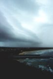
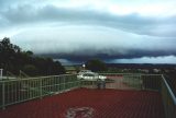
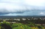
A base lowering from a severe thunderstorm near Grafton. Although the first image appears to show a large wall cloud and tornado, the second image taken 10 minutes after the first, shows it to be an arcus and/or shelf cloud formation. This storm system caused extensive damage at Evans Head (to the NE) about 2 hours later (5.30pm).
These photographs by Halden Boyd show the same storm about an hour later.


01: Taken from Razorback Lookout Evans Head looking west 30 mins before event.
02: Taken Razorback Lookout Evans Head looking SW 30 mins before event.
03: Taken Razorback Lookout Evans Head looking west 30 mins before event.
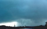
04: Taken from my home at Evans Head looking southest as the storm hit the area. The white patch in the lower left corner behind the Norfolk Pine is illumination from a barrage of lightning which accompanied the severe storm. Wind gusts 110kph. Rain 45mm in 30 mins, some hail, some reports of large hail 1 kilometer south.
|
Document: 9901-02.html
Updated: 13th January, 2003 |
[Australian Severe Weather index] [Copyright Notice] [Email Contacts] [Search This Site] |