and Chasing
[Index][Archives]
Western Sydney Storm Chase: Friday 1st December 1995
by Jimmy Deguara
| Storm News and Chasing [Index][Archives] |
Western Sydney Storm Chase: Friday 1st December 1995 by Jimmy Deguara |
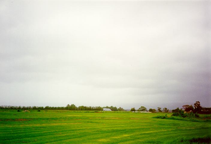
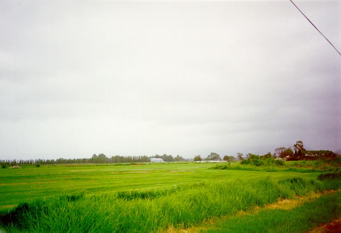
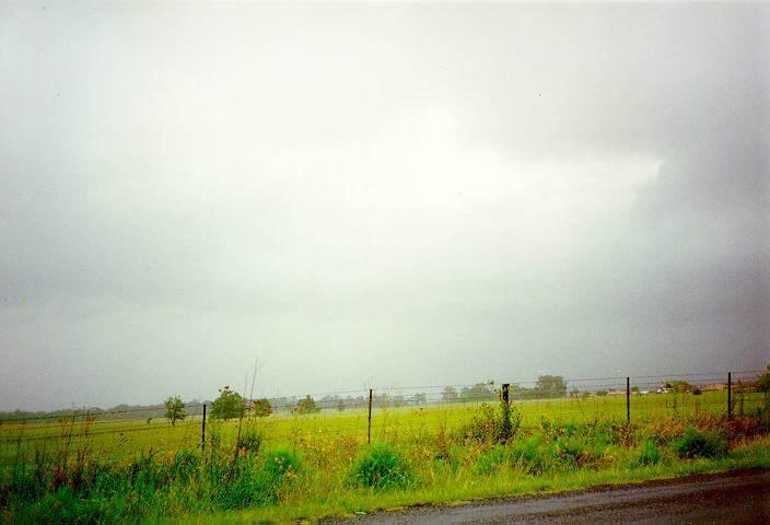
I headed towards Richmond only to find the cloud cover had begun invading my view of the middle level clouds. By the time I had reached Castlereagh, it was a full cloud cover. I could not believe my luck. I was parked in the middle of country side wondering had I made a mistake. Maybe the storms had dissipated. After about an hour, I had seriously decided to head home. But it then occurred to me. Put on the radio and check for interference from lightning strikes. The interference was so frequent that I thought my radio was playing up! There was a storm but I could not see it. Then around 5:30pm, heavy rain began to pass over the areas south of Castlereagh. With rain developing overhead, I headed towards Richmond. Heavy rain as well as severe lightning bolts also developed over Richmond. After stopping briefly to allow the hazardous conditions to pass, I headed home.

Although this was not considered to be a severe storm under the Bureau's definition, it must have been on the border line and did produce a deluge in the Box Hill and Riverstone areas with severe runoff. Severe bolts of lightning caused blackouts in some areas.
22mm fell between 6 and 6:30pm at Richmond. 21.8mm fell between 6:30 and 7pm at Observatory Hill. Flash flooding occurred at Riverstone and Dee Why.
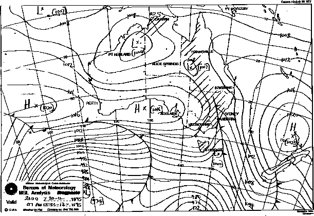
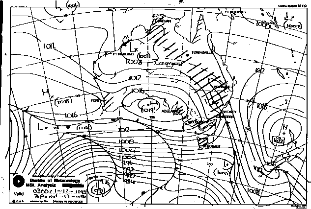
Synoptic Charts provided by the Bureau of Meteorology
|
Document: 9512-03.htm
Updated: 5th April, 2004 |
[Australian Severe Weather index] [Copyright Notice] [Email Contacts] [Search This Site] |