and Chasing
[Index][Archives]
Sydney Storm Chase: Tuesday 28th November 1995
by Jimmy Deguara
| Storm News and Chasing [Index][Archives] |
Sydney Storm Chase: Tuesday 28th November 1995 by Jimmy Deguara |

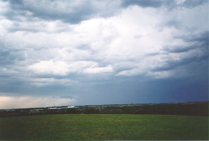
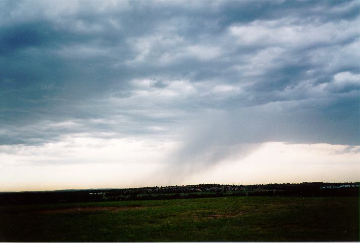
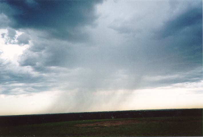
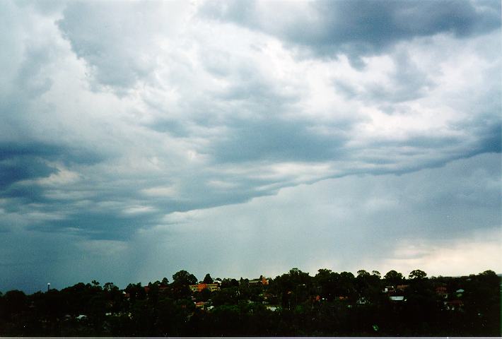
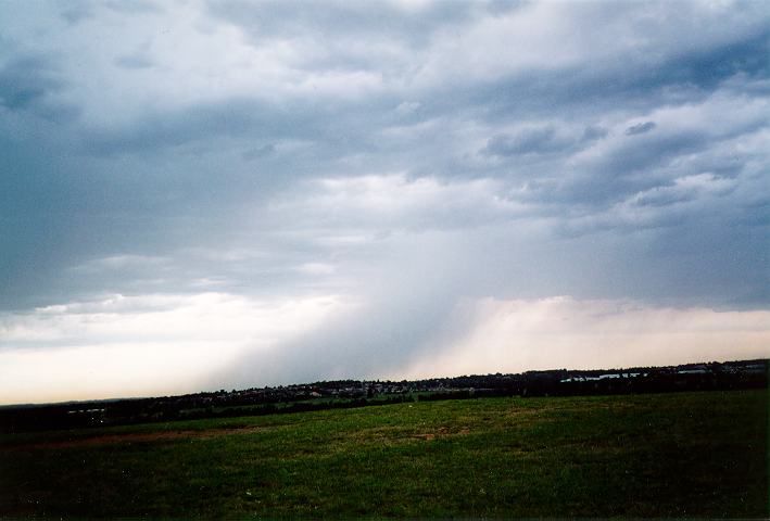
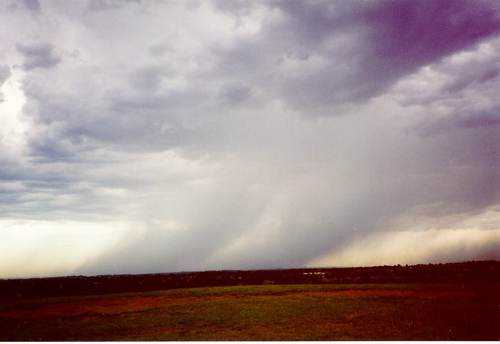
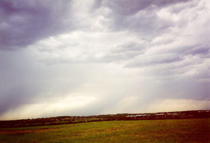
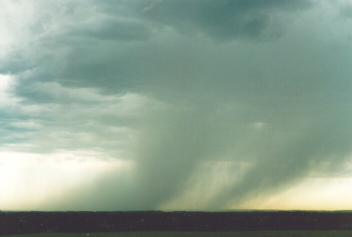
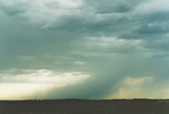
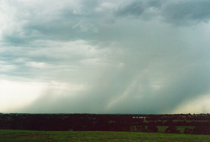
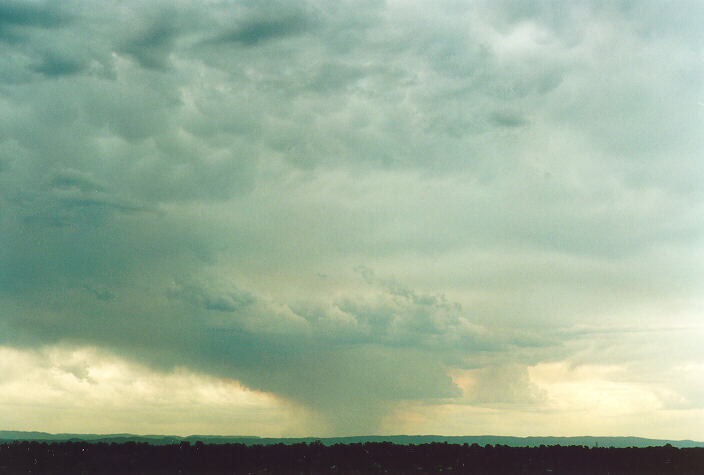
At 5:30pm, we headed for Rooty Hill only to find the storm had rapidly moved to the southeast. We were able to photograph the rear end of the storm including developing rain and small hail falling diagonally from the cloud base indicating strong winds. This occurred over areas such as Carlingford and Eastwood. We called this session off after heading west towards Penrith. The storm to the south of Penrith had evaded us and left in its wake strong dusty winds which did no good to our eyes.
4500 homes blacked out at Camden, Ambarvale, Kentlyn, Appin & Emu Plains. Trees uprooted at Camden and Winmalee.
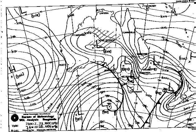
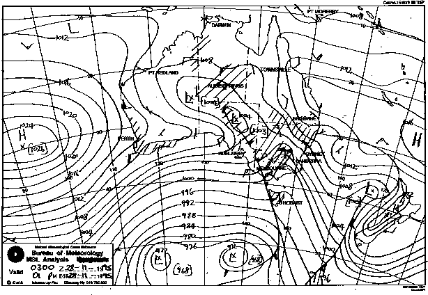
Synoptic Charts provided by the Bureau of Meteorology
|
Document: 9511-03.htm
Updated: 5th April, 2004 |
[Australian Severe Weather index] [Copyright Notice] [Email Contacts] [Search This Site] |